Uphill
113m
Length
6km
Duration
2h
Elev gain
113m
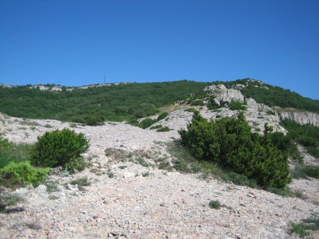
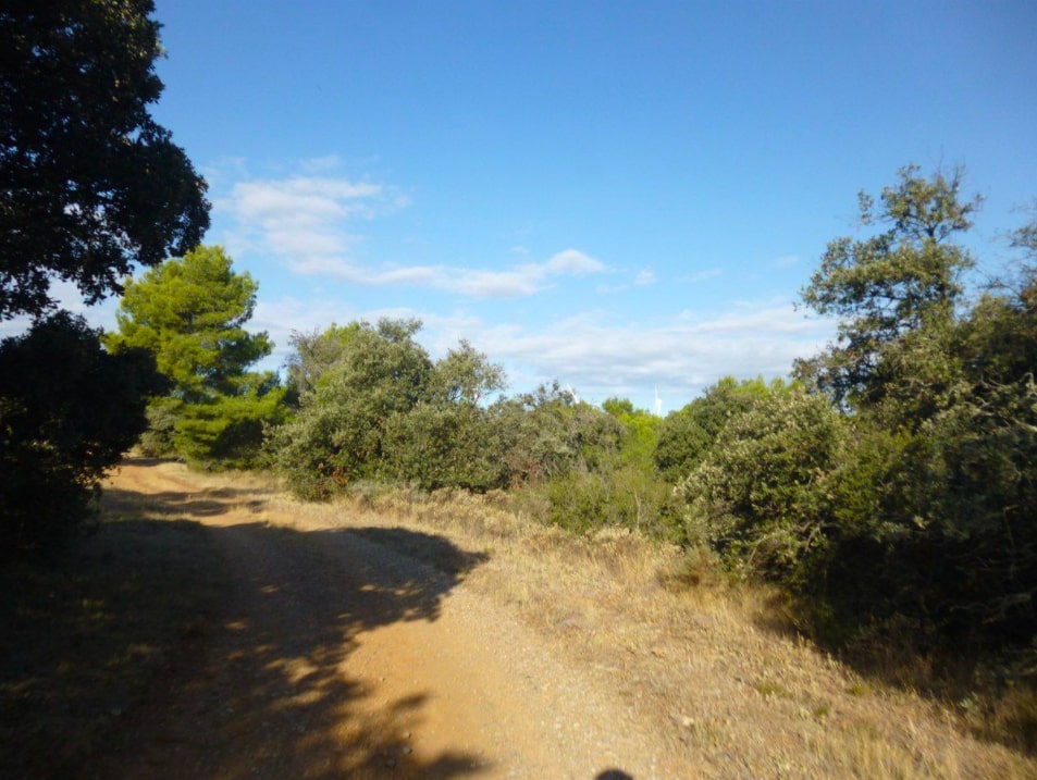
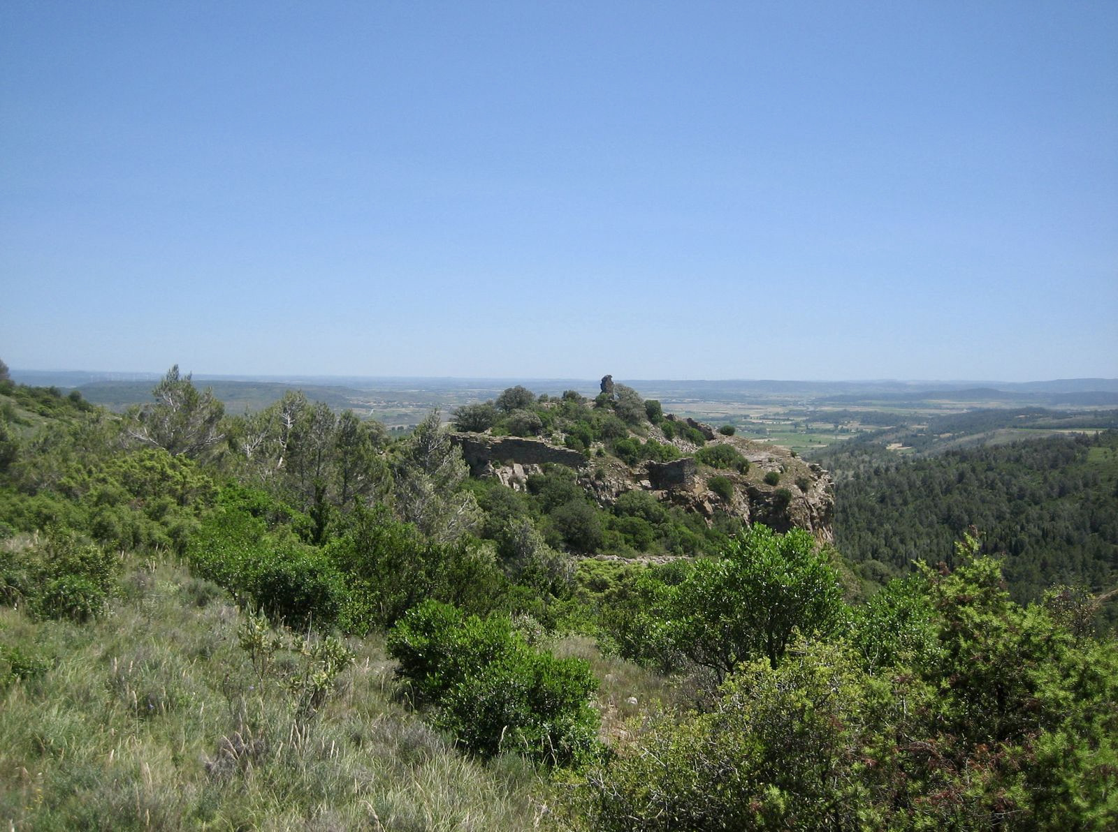
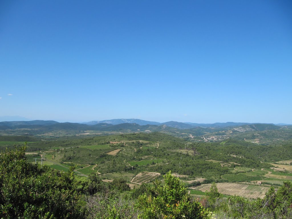
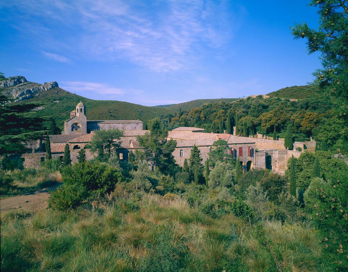
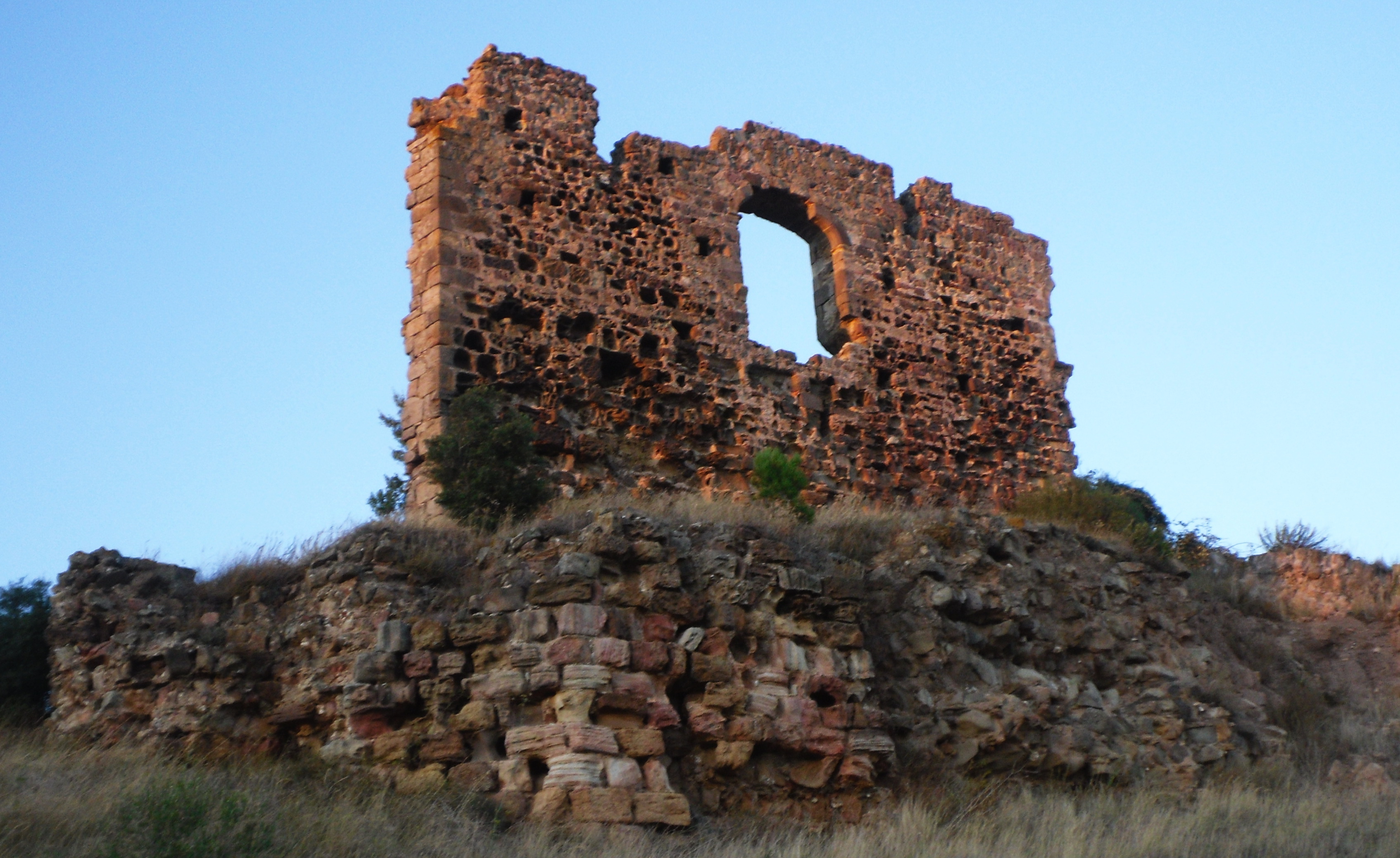
Short walk north of the village of Villerouge-la-Crémade. The route, alternating between forest and vineyards, crosses a stream then passes next to the Pinada campsite, before returning to the starting point by the castle of Villerouge-la-Crémade.

Already more than 200,000 users!
Uphill
113m
Highest point
189m
Downhill
113m
Lowest point
97m
Route type
Loop
Download the map on your smartphone to save battery and rest assured to always keep access to the route, even without signal.
Includes IGN France and Swisstopo.
I indicate whether dogs are allowed or prohibited on this trail
All year
0 ratings
Also enjoy:

Already more than 200,000 users!