Uphill
454m
Length
12km
Duration
4h
Elev gain
454m
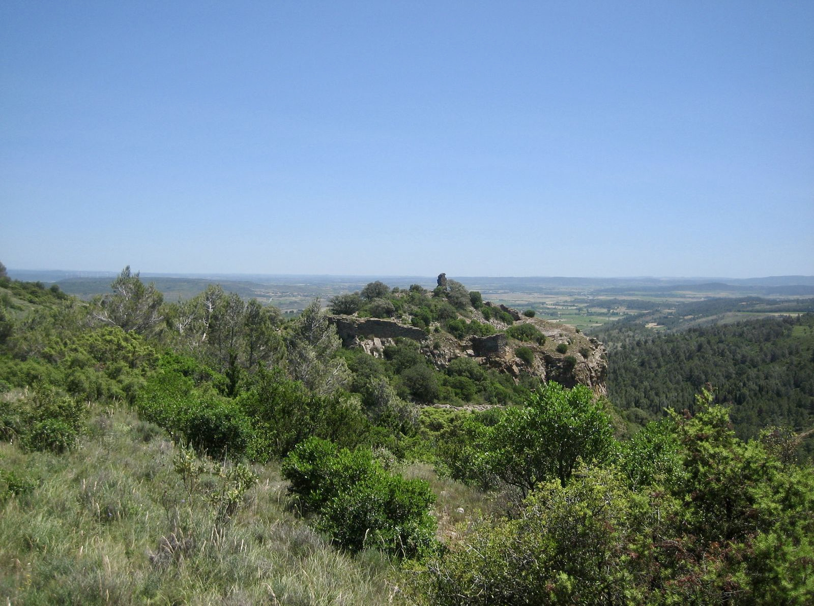
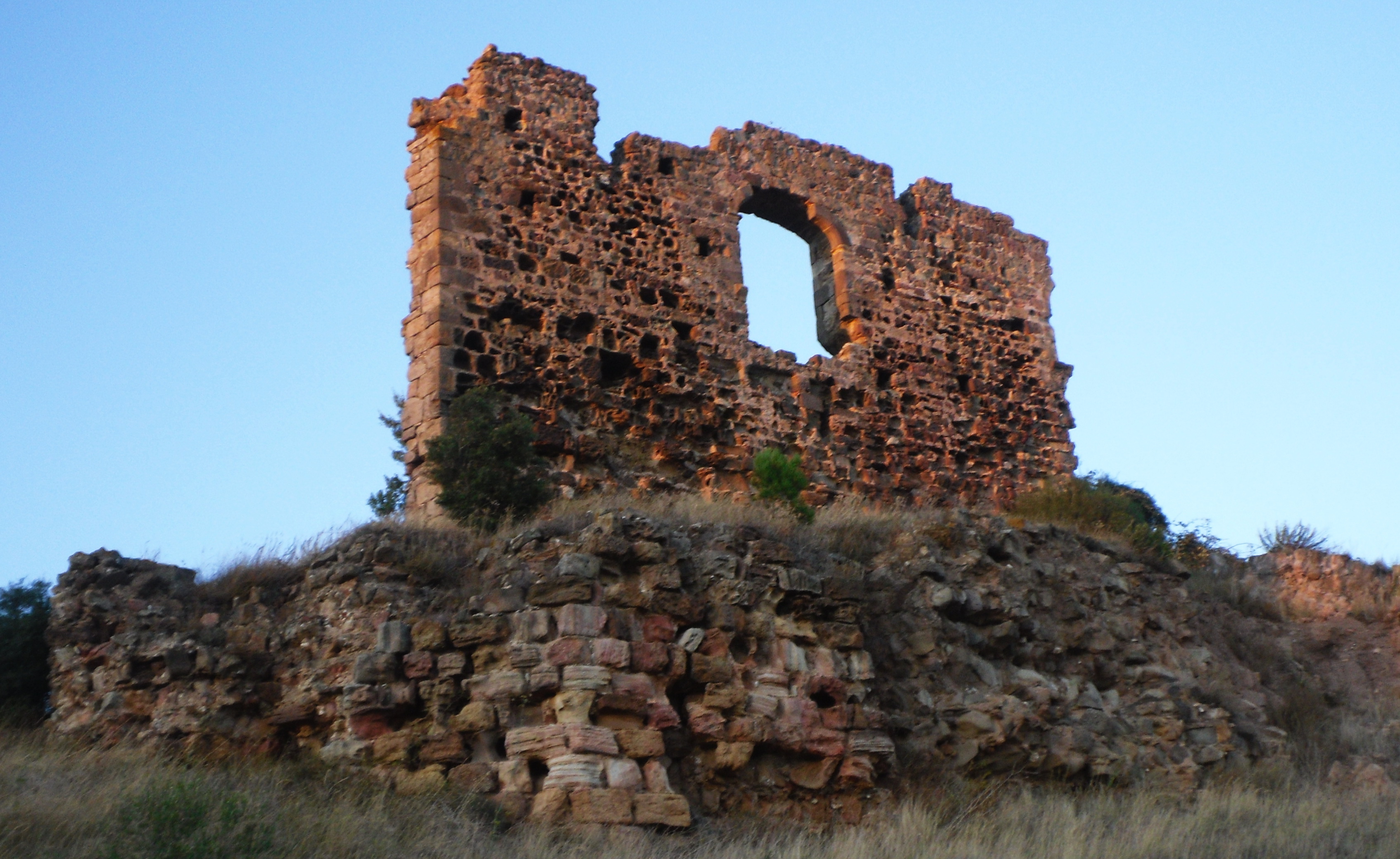
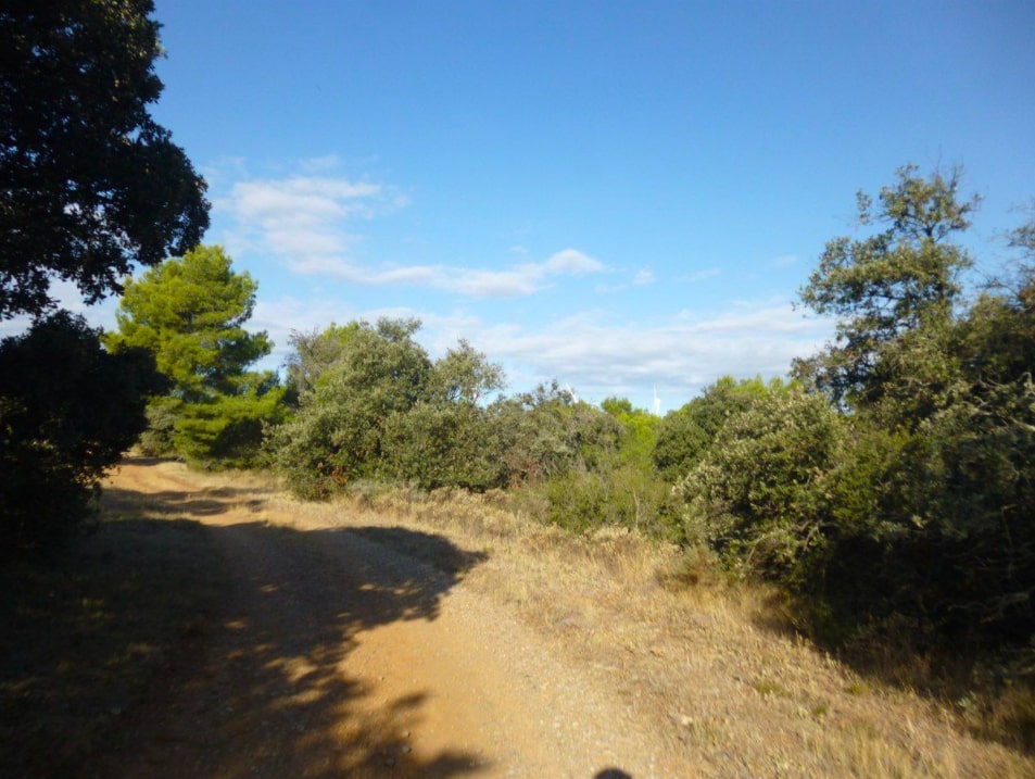
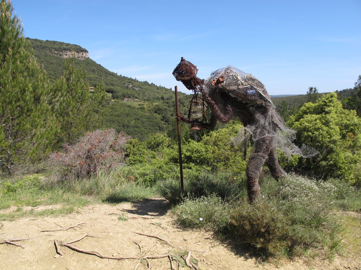
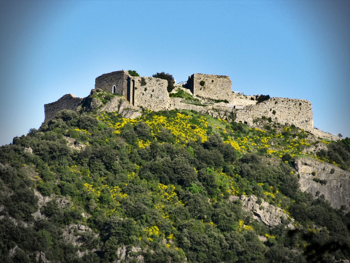
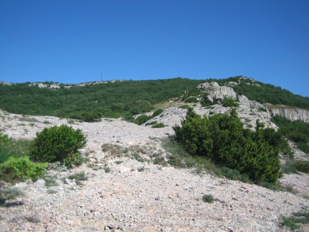
Sporty hike to attack the Signal d'Alaric, located 590 meters above sea level. The route makes a loop in the heart of the Corbières mountain where the landscapes are wild and splendid. Once at the top, the efforts are rewarded with a very beautiful view of the surroundings.

Already more than 200,000 users!
Uphill
454m
Highest point
594m
Downhill
454m
Lowest point
166m
Route type
Loop
Download the map on your smartphone to save battery and rest assured to always keep access to the route, even without signal.
Includes IGN France and Swisstopo.
I indicate whether dogs are allowed or prohibited on this trail
All year
1 rating
Also enjoy:

Already more than 200,000 users!