Uphill
200m
Length
5km
Duration
2h
Elev gain
200m
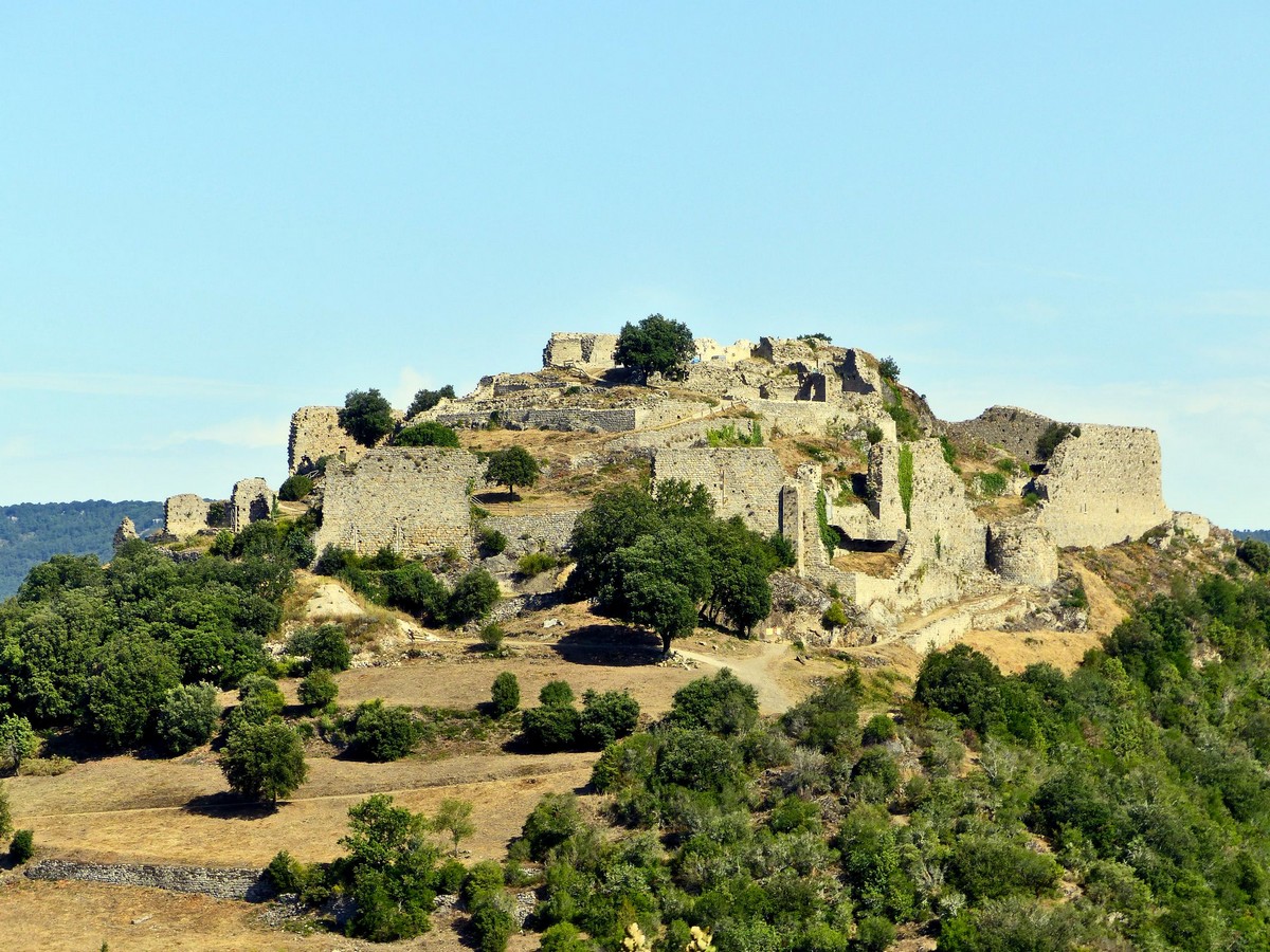
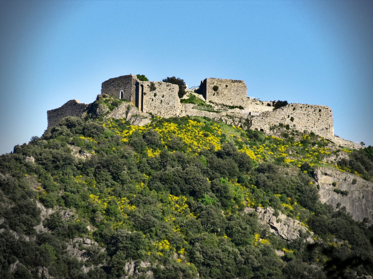
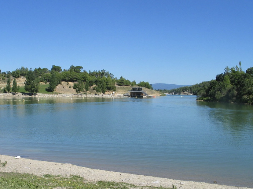
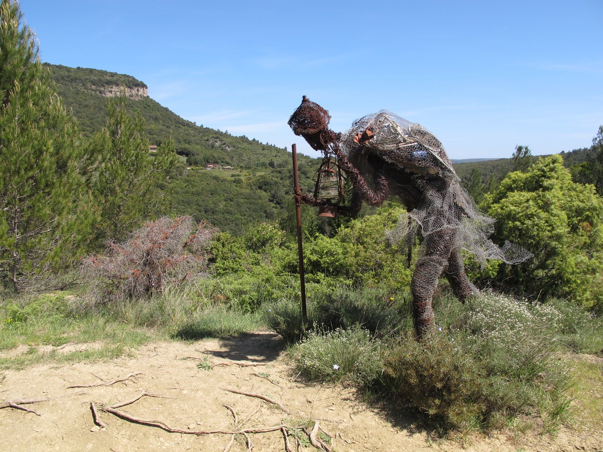
Fancy a walk combining art and nature? There it is. This route goes around art sculptures scattered on a pretty path in the middle of nature. The landscapes are wild and the sculptures original.

Already more than 200,000 users!
Uphill
200m
Highest point
382m
Downhill
200m
Lowest point
237m
Route type
Loop
Download the map on your smartphone to save battery and rest assured to always keep access to the route, even without signal.
Includes IGN France and Swisstopo.
1 rating
Agréable mais remettre a neuf les œuvres détériorées
Also enjoy:

Already more than 200,000 users!