Uphill
352m
Length
7km
Duration
2h30min
Elev gain
352m
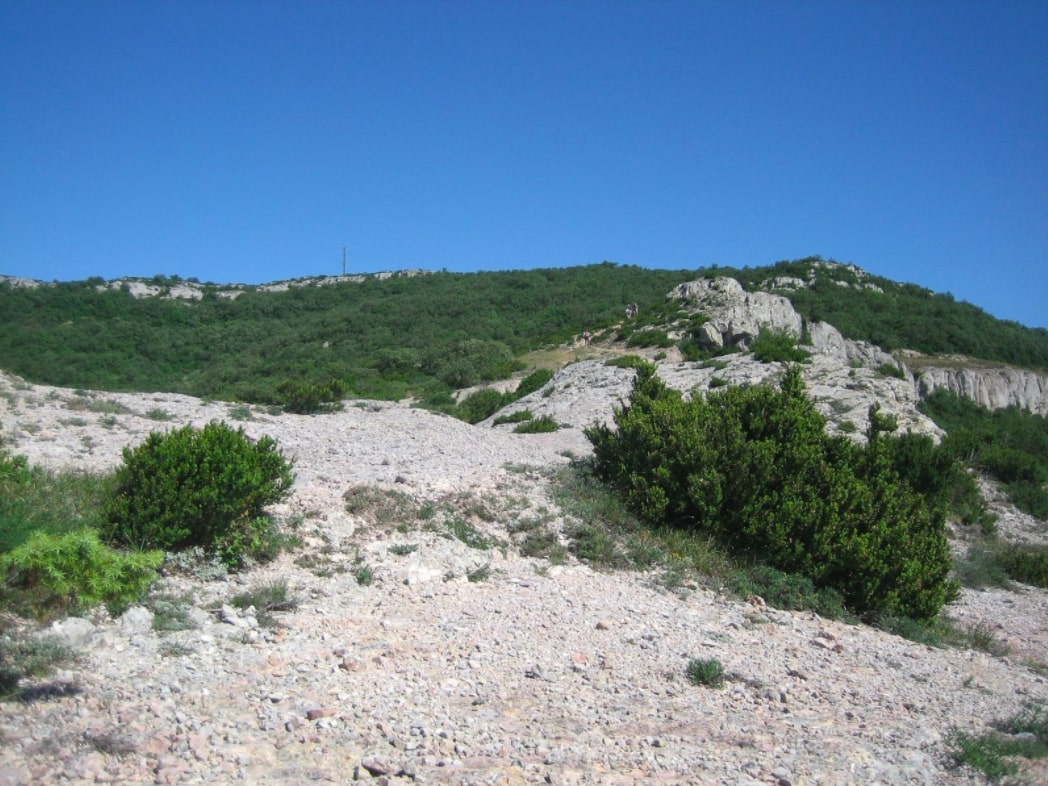
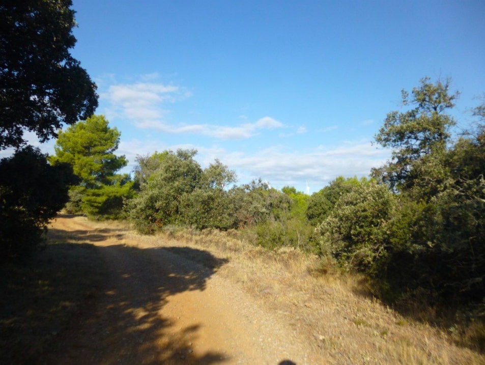
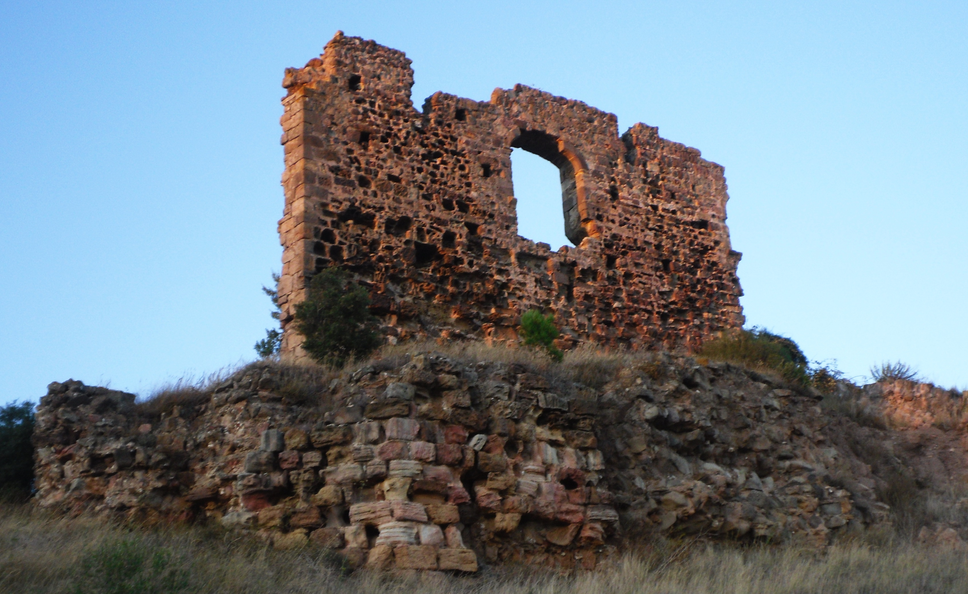
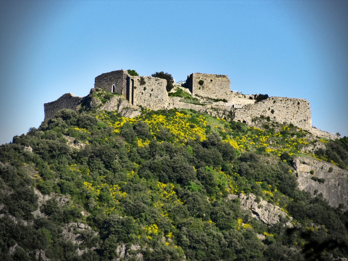
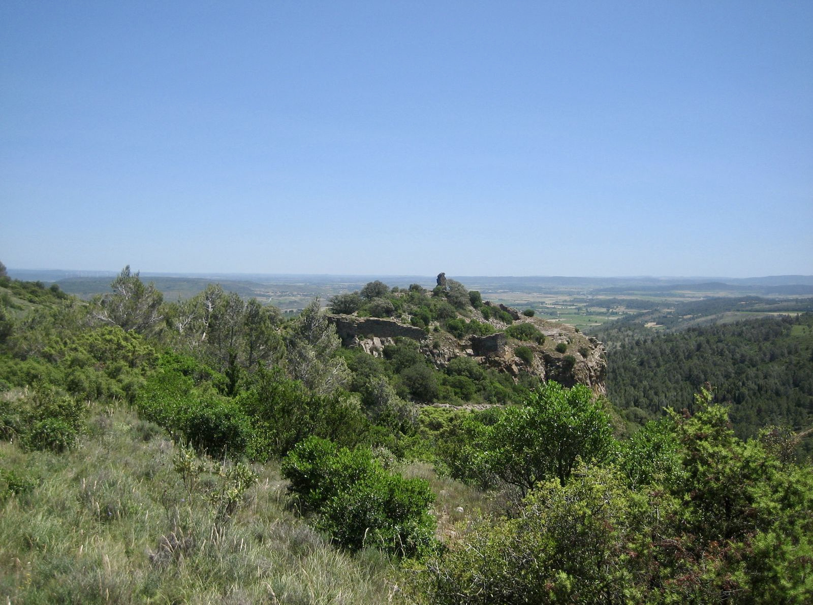
After a start near Moux, this walk takes to the heights to offer very pretty views of the surroundings. On the way back, the path passes by the charming priory of Saint-Pierre d'Alaric before reaching the starting point.

Already more than 200,000 users!
Uphill
352m
Highest point
409m
Downhill
352m
Lowest point
117m
Route type
Loop
Download the map on your smartphone to save battery and rest assured to always keep access to the route, even without signal.
Includes IGN France and Swisstopo.
I indicate whether dogs are allowed or prohibited on this trail
All year
1 rating
Also enjoy:

Already more than 200,000 users!