Uphill
325m
France > Occitanie > Aude > Corbières-Fenouillèdes Nature Park
Length
8km
Duration
3h
Elev gain
325m
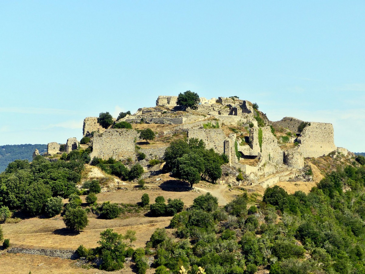
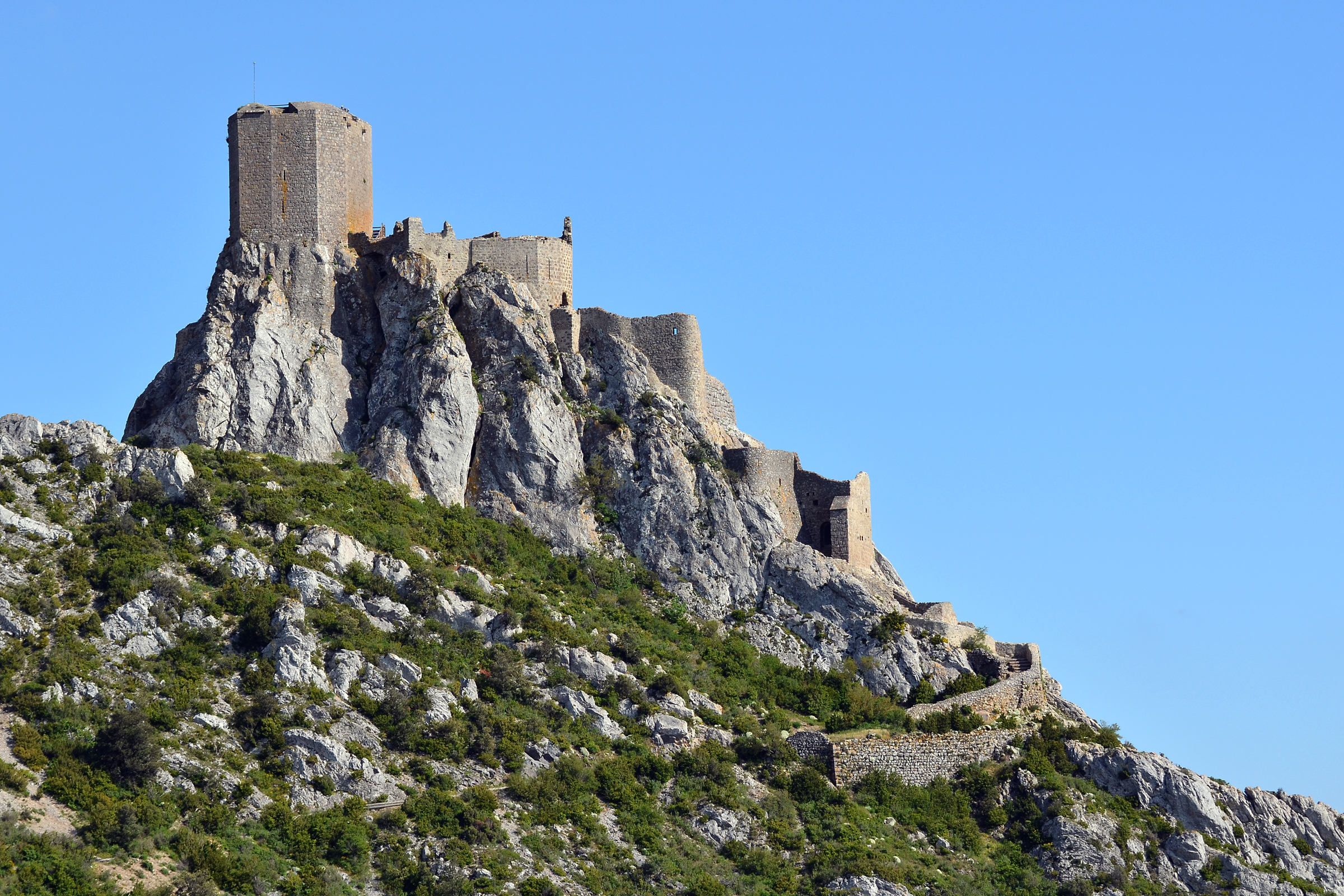
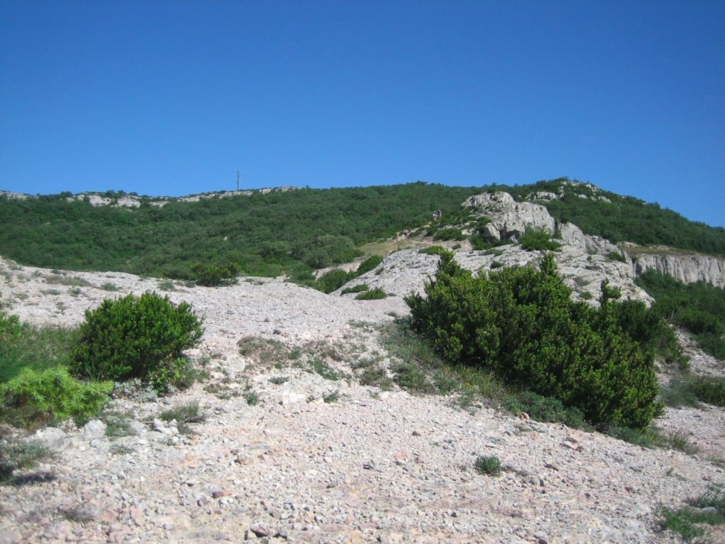
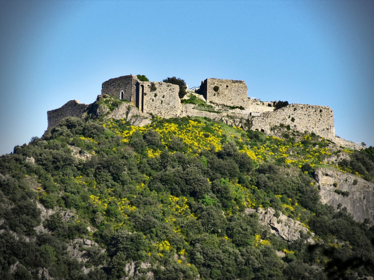
Departing from Termes, this hike makes a nice loop on the heights of the town. The path begins by following the Sou in order to reach the top of the route, before descending towards the castle of Termes.

Already more than 200,000 users!
Uphill
325m
Highest point
586m
Downhill
325m
Lowest point
335m
Route type
Loop
Download the map on your smartphone to save battery and rest assured to always keep access to the route, even without signal.
Includes IGN France and Swisstopo.
0 ratings
Also enjoy:

Already more than 200,000 users!