Uphill
548m
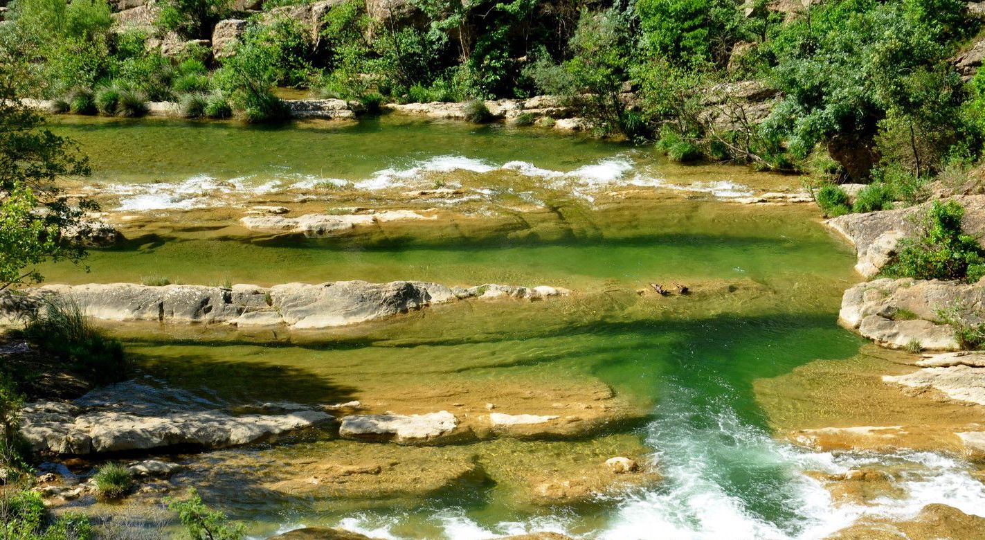
France > Occitanie > Aude > Corbières-Fenouillèdes Nature Park
Length
9km
Duration
4h
Elev gain
548m
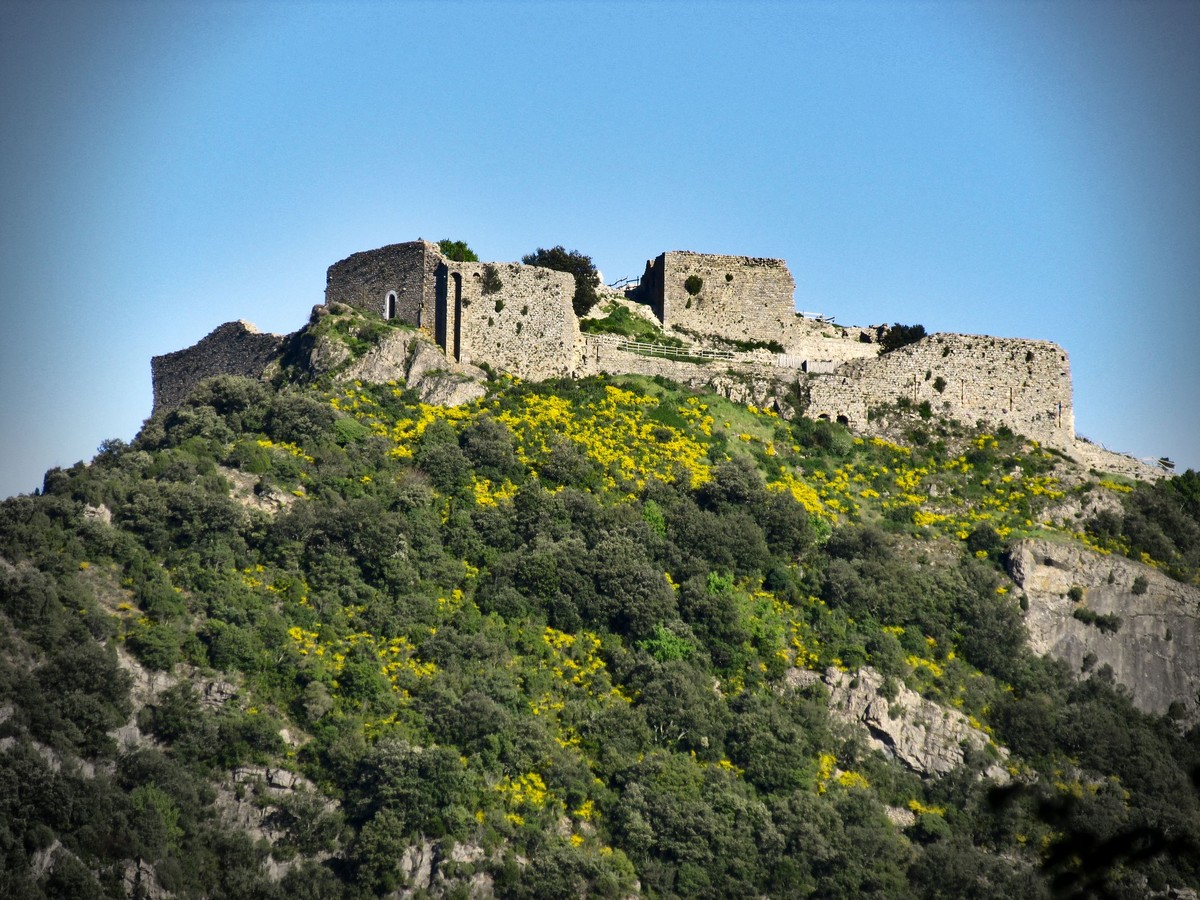
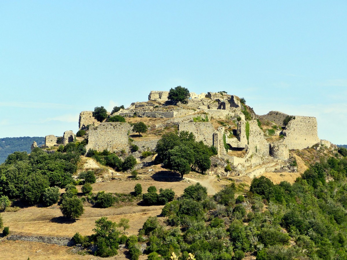
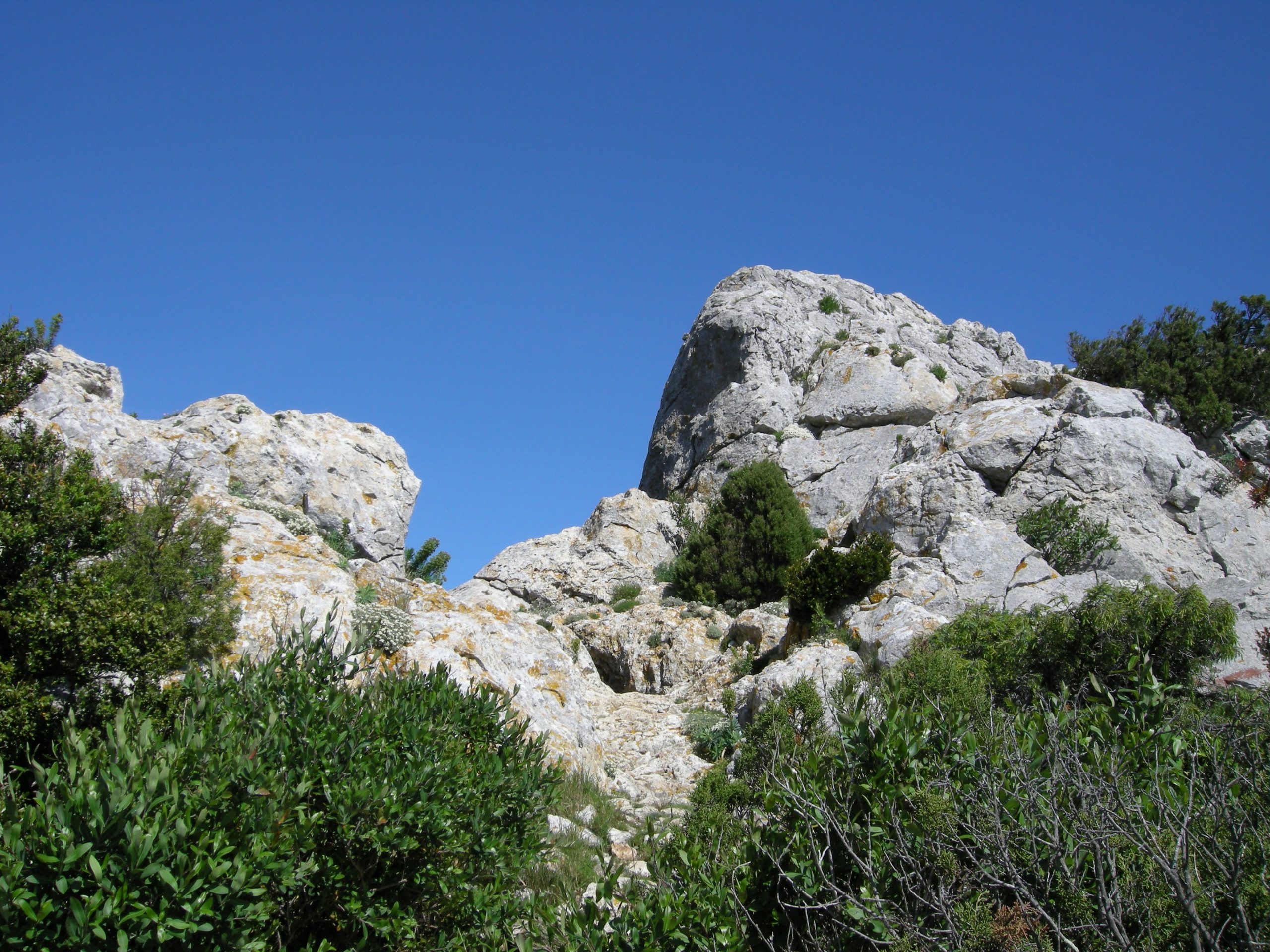
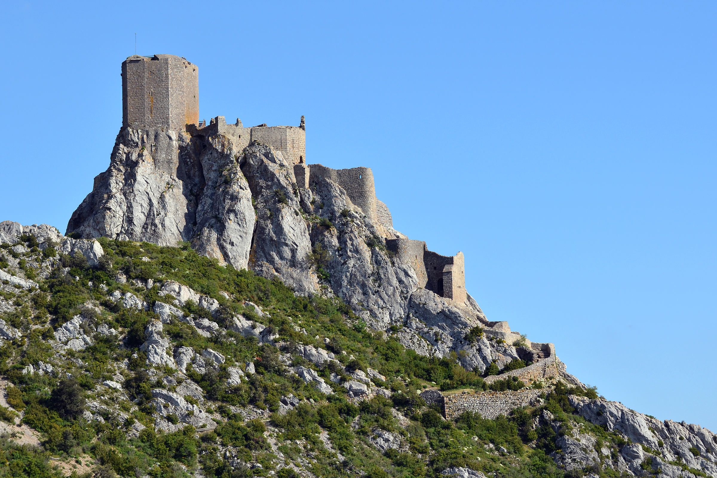
This is a route to discover the castle of Quéribus, which begins near Cucugnan. The route takes the Cathar trail to reach the ruins of the castle, a real point of defense of the Cathar country whose existence dates back to the 10th century. This building overlooks the surroundings and therefore offers a fantastic panorama.

Already more than 200,000 users!
Uphill
548m
Highest point
714m
Downhill
548m
Lowest point
257m
Route type
Loop
Download the map on your smartphone to save battery and rest assured to always keep access to the route, even without signal.
Includes IGN France and Swisstopo.
I indicate whether dogs are allowed or prohibited on this trail
All year
1 rating
Also enjoy:

Already more than 200,000 users!