Uphill
497m
France > Occitanie > Pyrénées-Orientales > Corbières-Fenouillèdes Nature Park
Length
16km
Duration
5h30min
Elev gain
497m
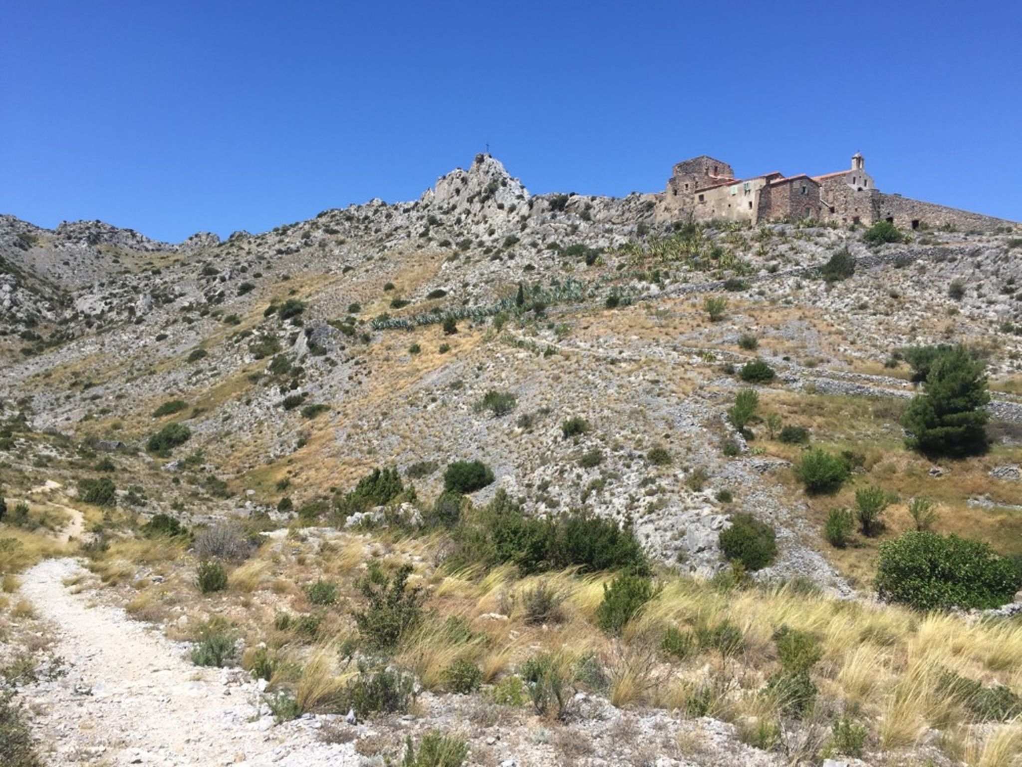
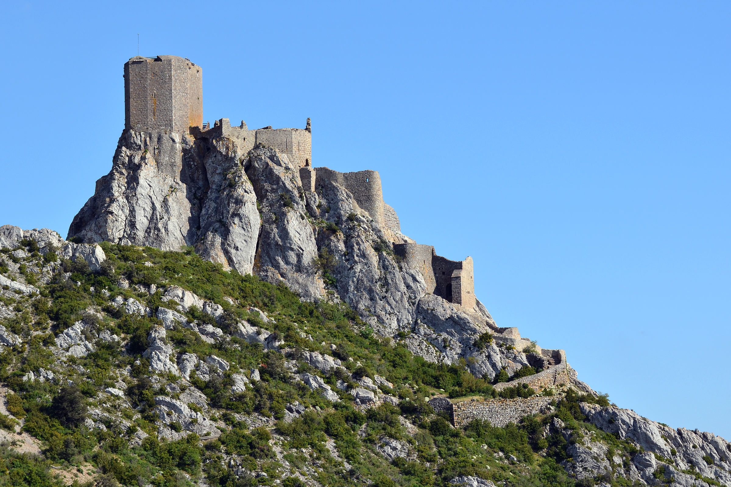
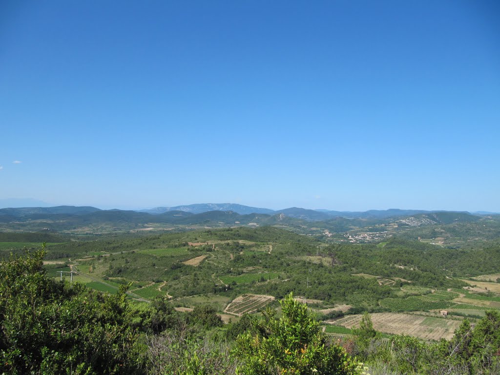
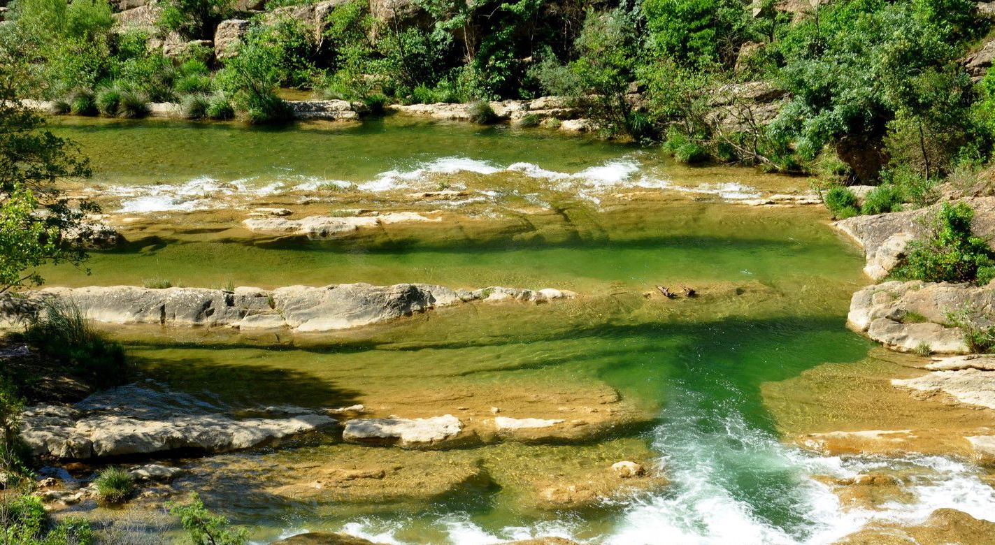
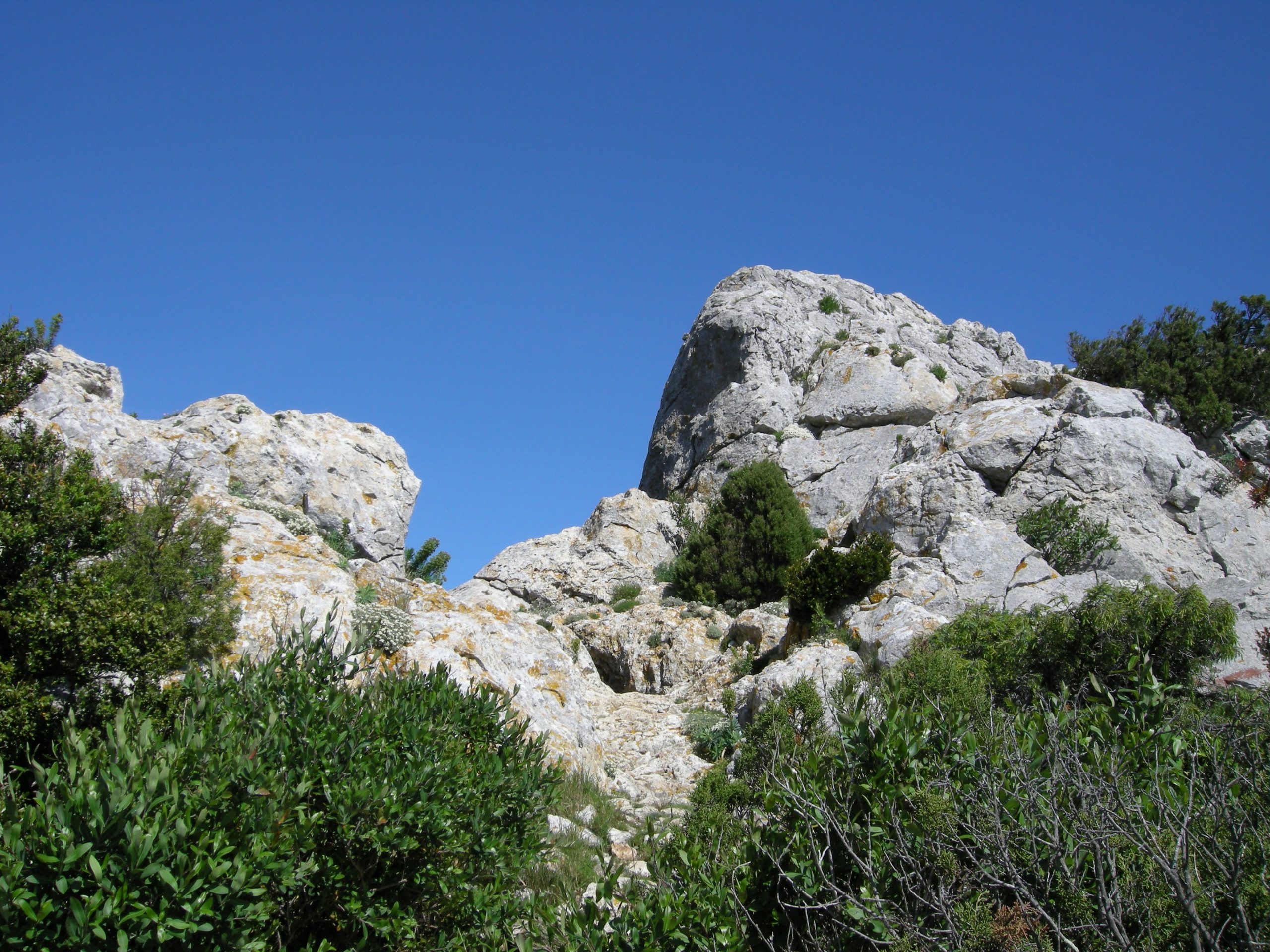
This hike from the village of Vingrau allows you to take the cliffs of the same name, passing through the rock of Vella. The return is made lower, which offers a nice view of the cliffs.

Already more than 200,000 users!
Uphill
497m
Highest point
543m
Downhill
497m
Lowest point
136m
Route type
Loop
Download the map on your smartphone to save battery and rest assured to always keep access to the route, even without signal.
Includes IGN France and Swisstopo.
I indicate whether dogs are allowed or prohibited on this trail
All year
1 rating
Also enjoy:

Already more than 200,000 users!