Uphill
345m

Length
7km
Duration
2h30min
Elev gain
345m
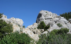
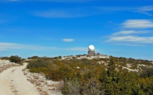
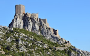
This trail passes by the Notre-Dame-de-Pène hermitage, before tackling a fairly steep climb. The path is quite stony and without shade, but the landscapes are very pretty.

Already more than 200,000 users!
Uphill
345m
Highest point
305m
Downhill
345m
Lowest point
45m
Route type
Loop
Download the map on your smartphone to save battery and rest assured to always keep access to the route, even without signal.
Includes IGN France and Swisstopo.
I indicate whether dogs are allowed or prohibited on this trail
All year
2 ratings
Pris à l’inverse, randonnée sympa mais bon là descente est hard !
Also enjoy:

Already more than 200,000 users!