Uphill
6m
Length
6km
Duration
1h30min
Elev gain
6m
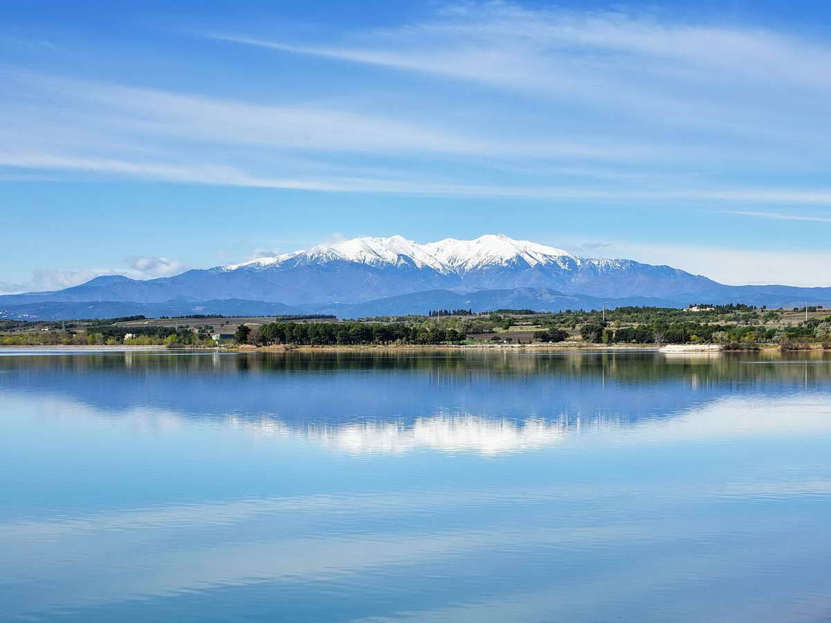
This is an easy walk around Raho Lake, alternating between fields and residential areas.
Nice view of the Pyrenees chain to the south.

Already more than 200,000 users!
Uphill
6m
Highest point
26m
Downhill
6m
Lowest point
13m
Route type
Loop
Download the map on your smartphone to save battery and rest assured to always keep access to the route, even without signal.
Includes IGN France and Swisstopo.
6 ratings
Sympa pour une petite balade tranquille
Also enjoy:

Already more than 200,000 users!