Uphill
1148m

Length
17km
Duration
8h30min
Elev gain
1148m
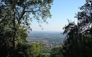
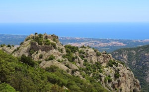
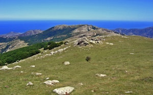
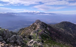
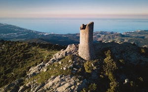
Sporty and technical hike to the Neulós peak (1,256m). The forest path leads to the summit where the view of the Roussillon plain, the sea and the Pyrenees chain is magnificent.

Already more than 200,000 users!
Uphill
1148m
Highest point
1239m
Downhill
1148m
Lowest point
103m
Route type
Loop
Download the map on your smartphone to save battery and rest assured to always keep access to the route, even without signal.
Includes IGN France and Swisstopo.
I indicate whether dogs are allowed or prohibited on this trail
Can be difficult in Winter
2 ratings
Also enjoy:

Already more than 200,000 users!