Uphill
723m
Length
12km
Duration
5h30min
Elev gain
723m
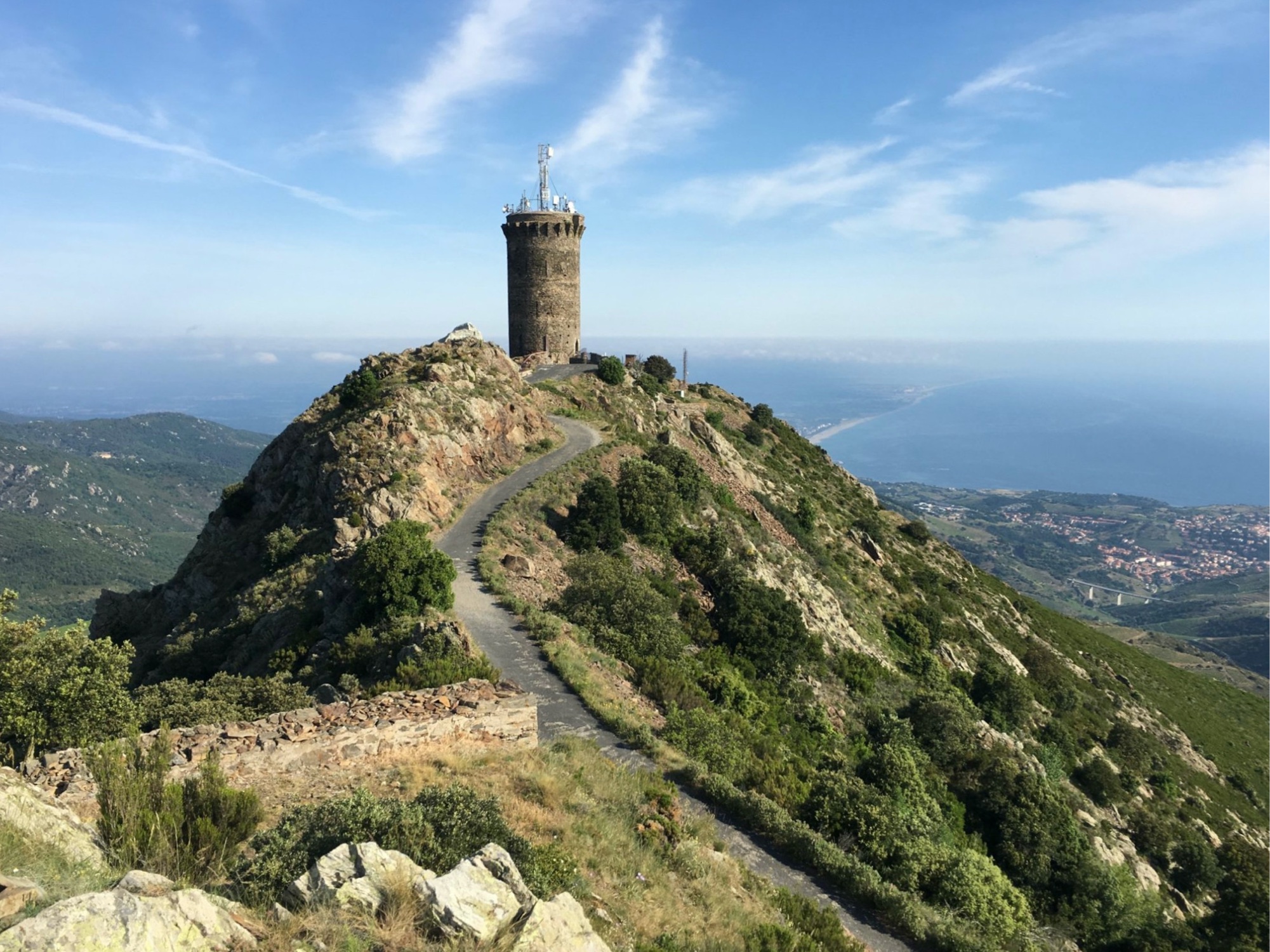
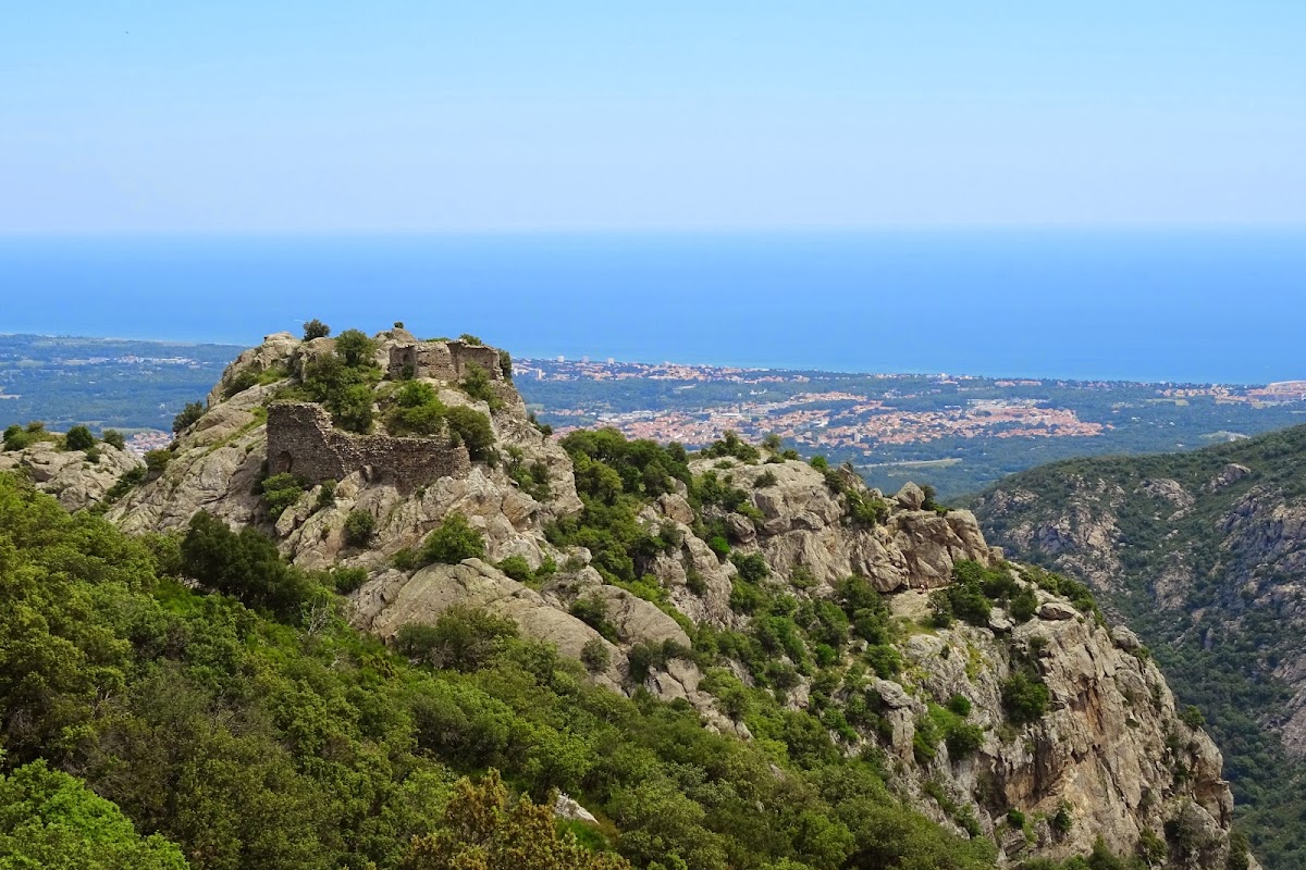
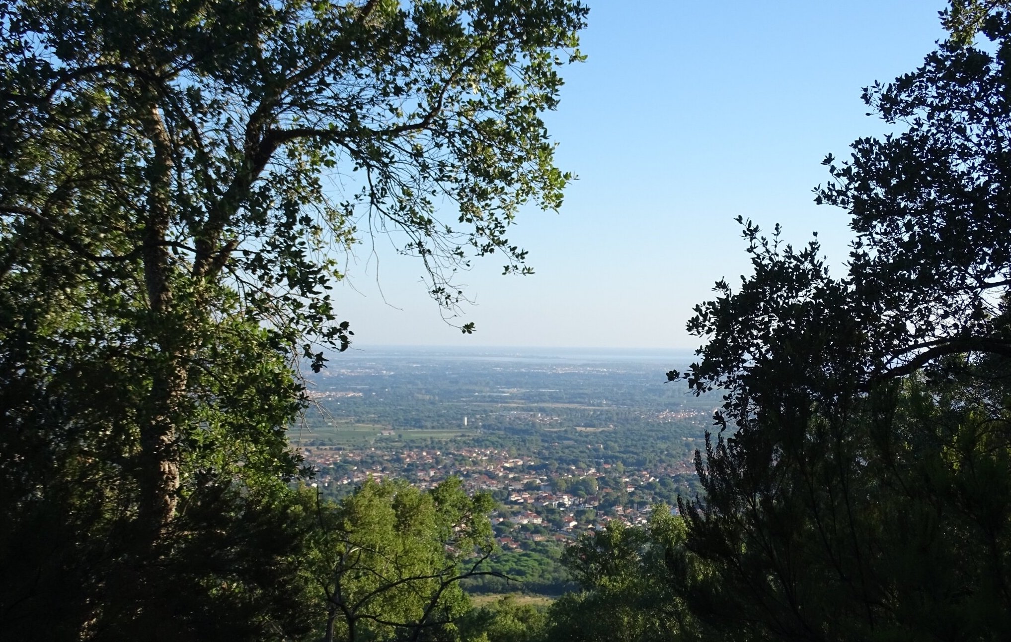
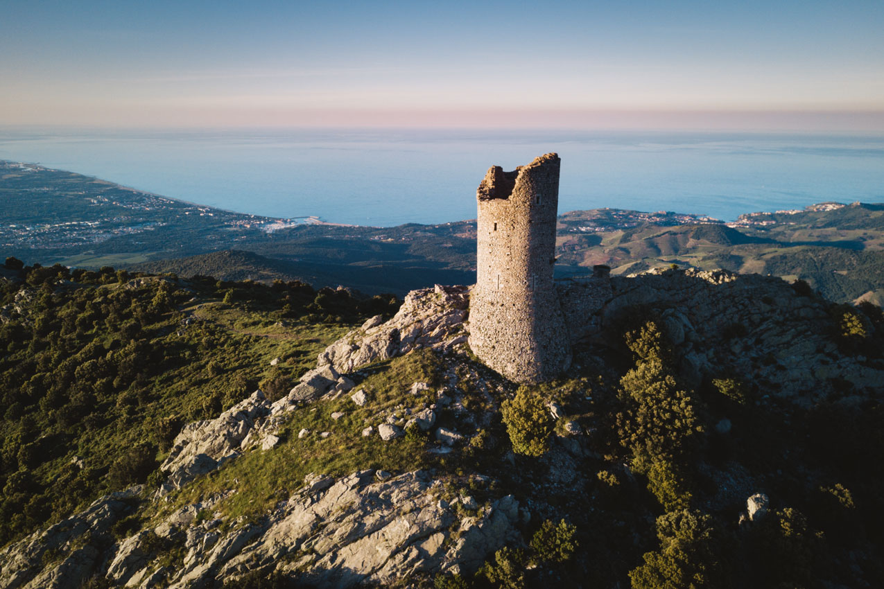
This hike takes you to the Tour de la Massane, an old watchtower located at an altitude of 793 meters. The view over the Roussillon plain and the Vermeille coast is superb.

Already more than 200,000 users!
Uphill
723m
Highest point
773m
Downhill
723m
Lowest point
45m
Route type
Loop
Download the map on your smartphone to save battery and rest assured to always keep access to the route, even without signal.
Includes IGN France and Swisstopo.
I indicate whether dogs are allowed or prohibited on this trail
All year
2 ratings
Also enjoy:

Already more than 200,000 users!