Uphill
427m
Length
9km
Duration
3h30min
Elev gain
427m
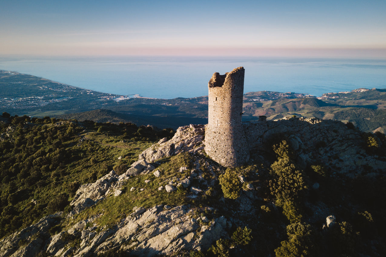
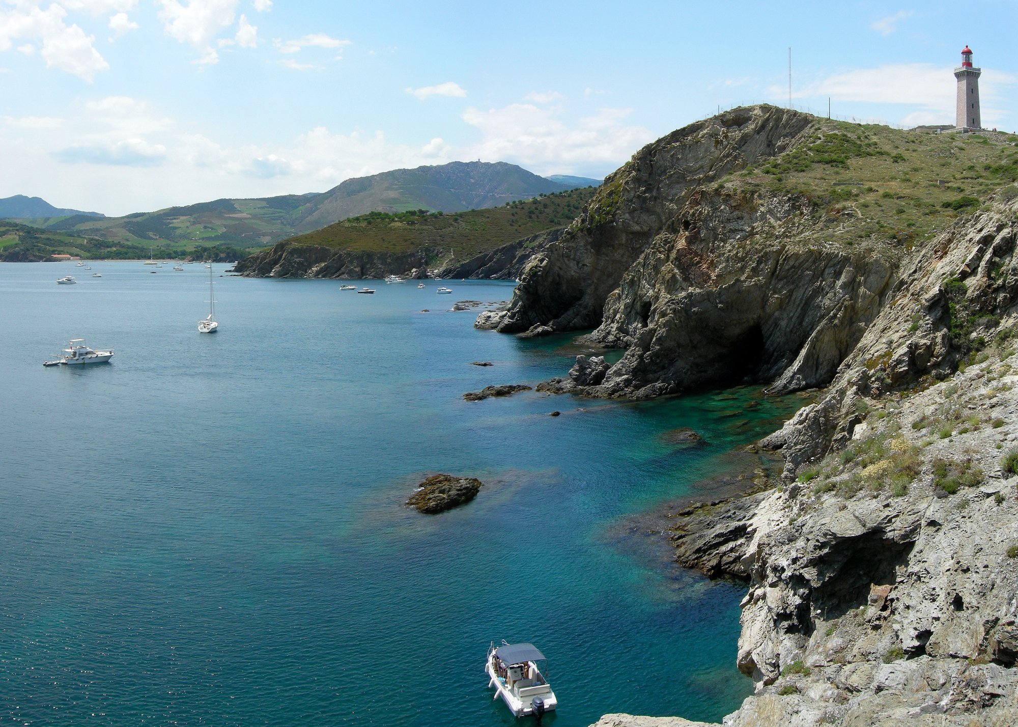
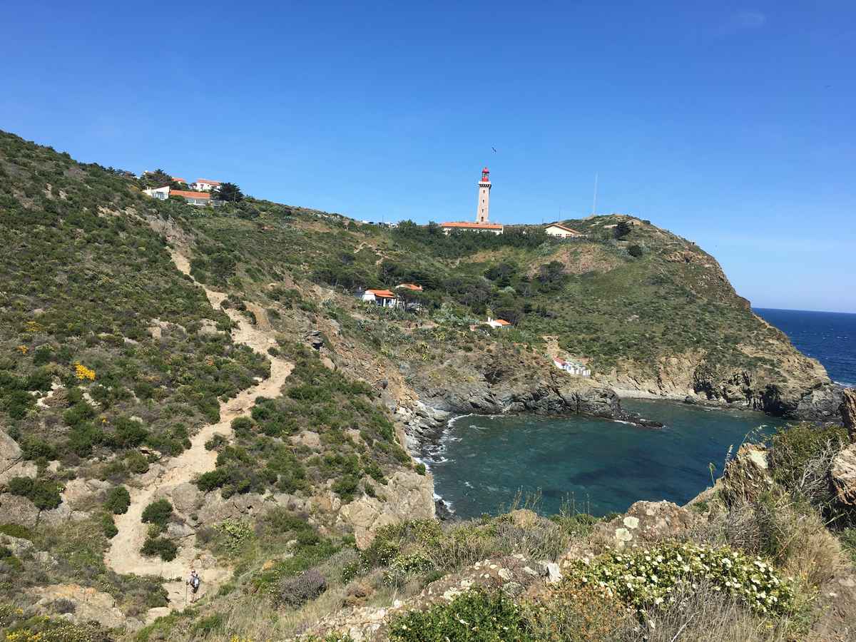
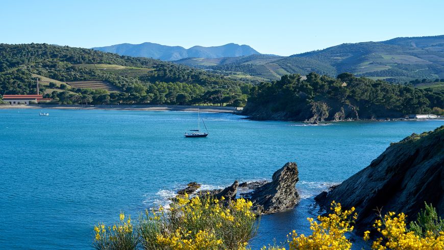
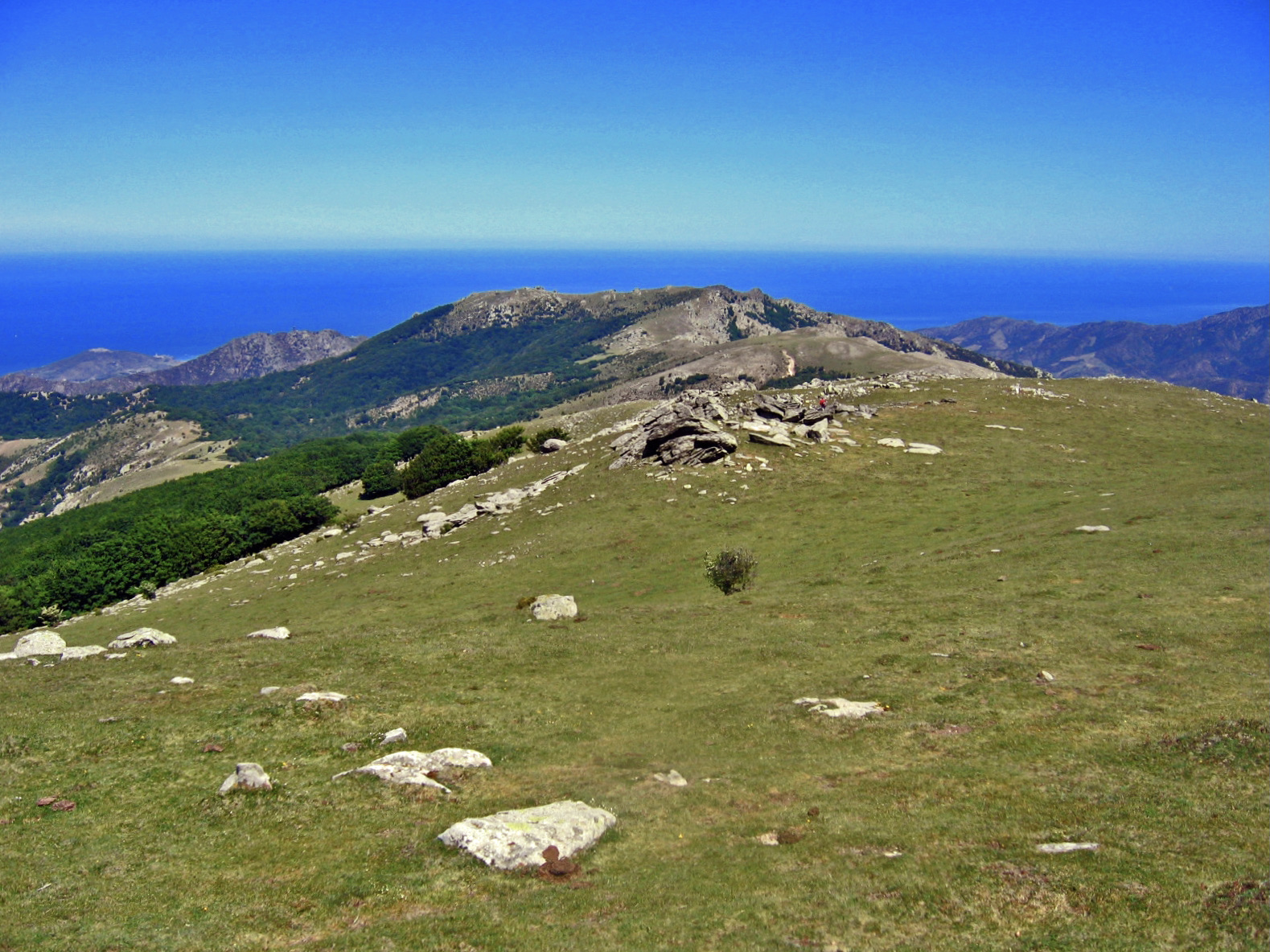
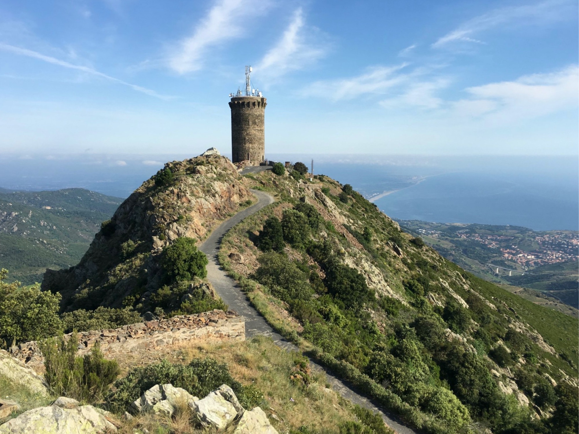
Departing from Coll de la Serra, loop trail passing by the Taillefer pass and the Madeloc tower, an old watchtower. Beautiful panorama of the coast and the Albères.

Already more than 200,000 users!
Uphill
427m
Highest point
633m
Downhill
427m
Lowest point
322m
Route type
Loop
Download the map on your smartphone to save battery and rest assured to always keep access to the route, even without signal.
Includes IGN France and Swisstopo.
I indicate whether dogs are allowed or prohibited on this trail
All year
3 ratings
Une vue incroyable tout le long du parcours. Une belle monté rocailleuse comme j’aime. Rando top
Also enjoy:

Already more than 200,000 users!