Uphill
300m
Length
6km
Duration
2h
Elev gain
300m
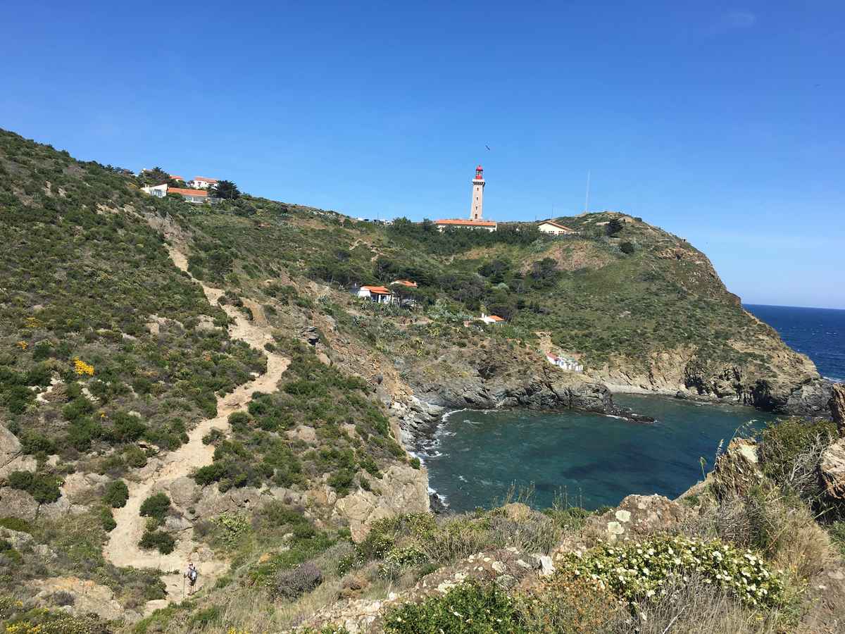
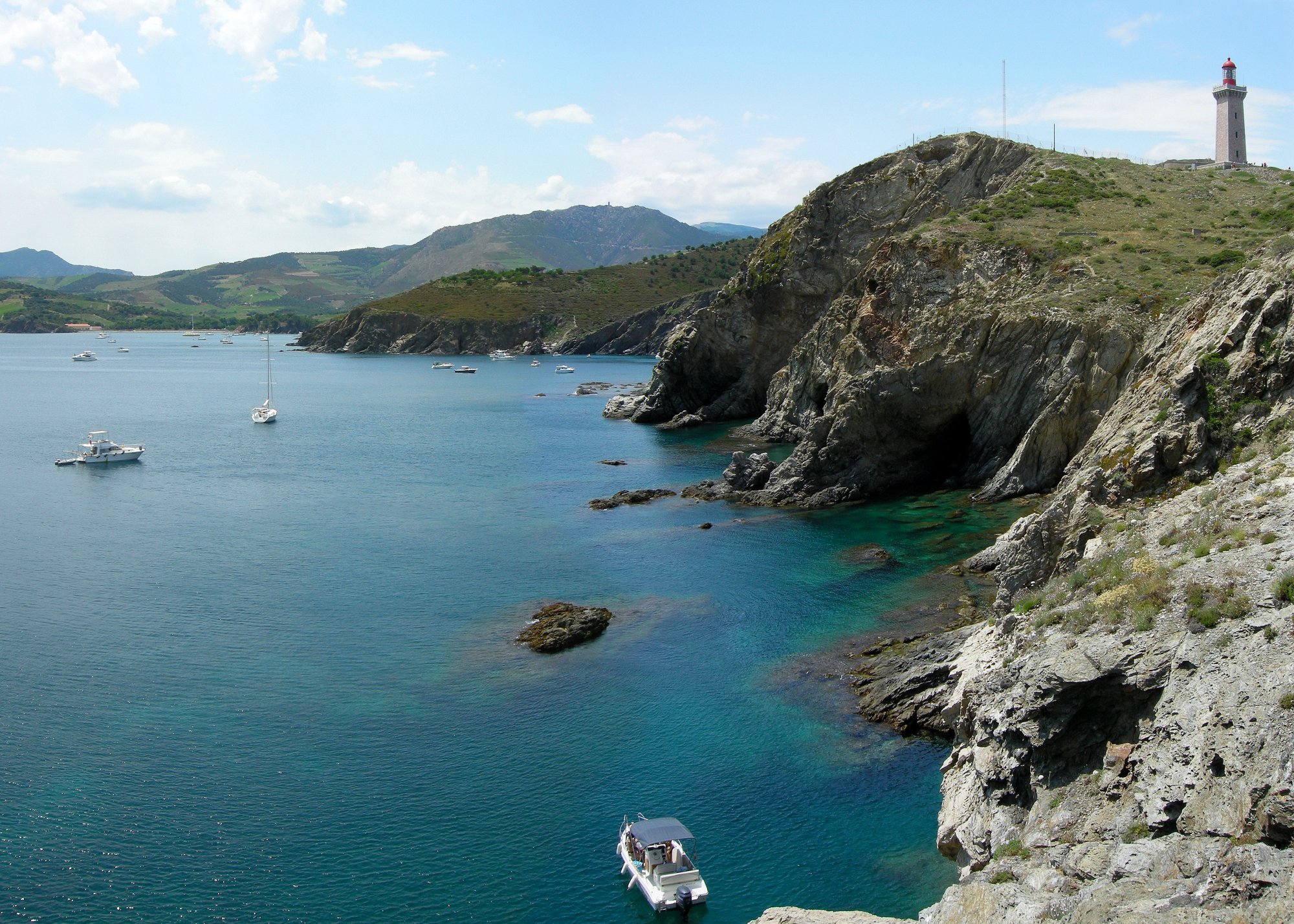
Round trip to the tip of Cape Béar and its lighthouse, along the sea.

Already more than 200,000 users!
Uphill
300m
Highest point
61m
Downhill
300m
Lowest point
2m
Route type
There and back
Download the map on your smartphone to save battery and rest assured to always keep access to the route, even without signal.
Includes IGN France and Swisstopo.
4 ratings
Pas facile vu les montées et descentes d'une demie douzaine de criques
Also enjoy:

Already more than 200,000 users!