Uphill
1018m
Length
16km
Duration
7h30min
Elev gain
1018m
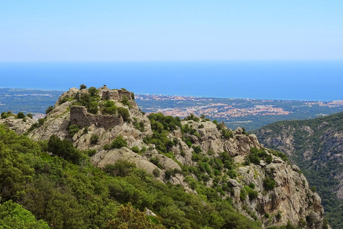
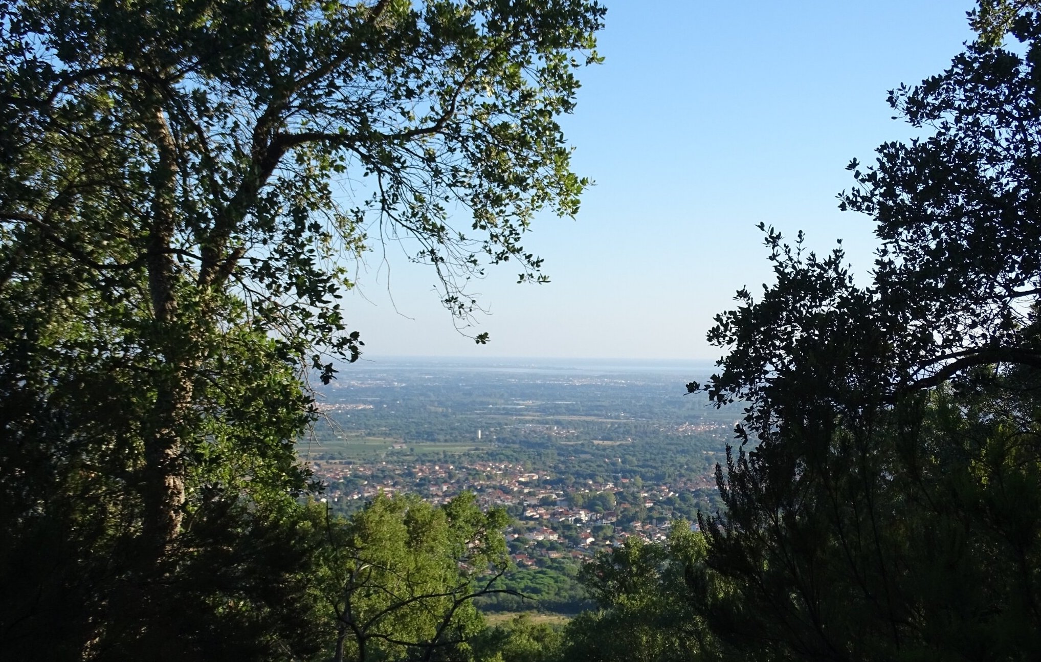
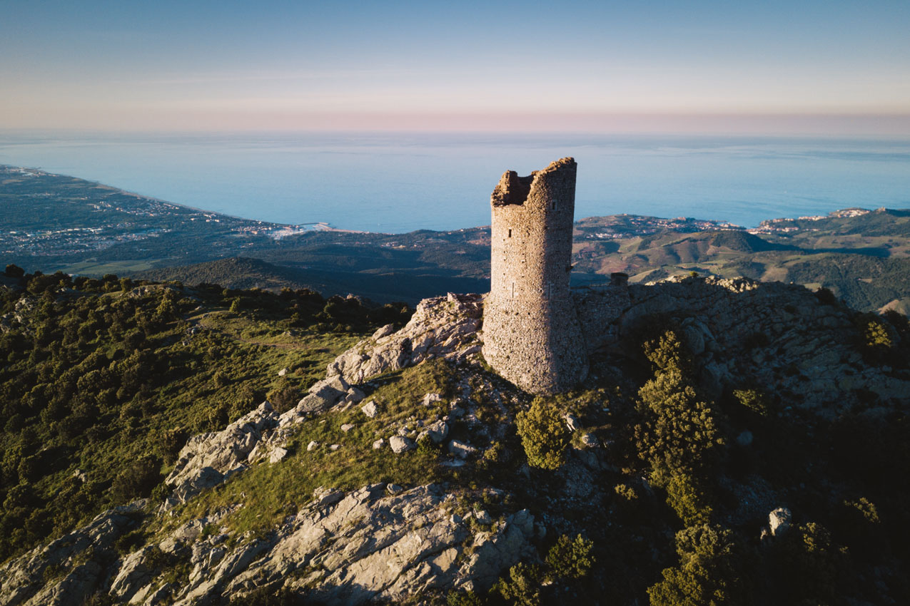
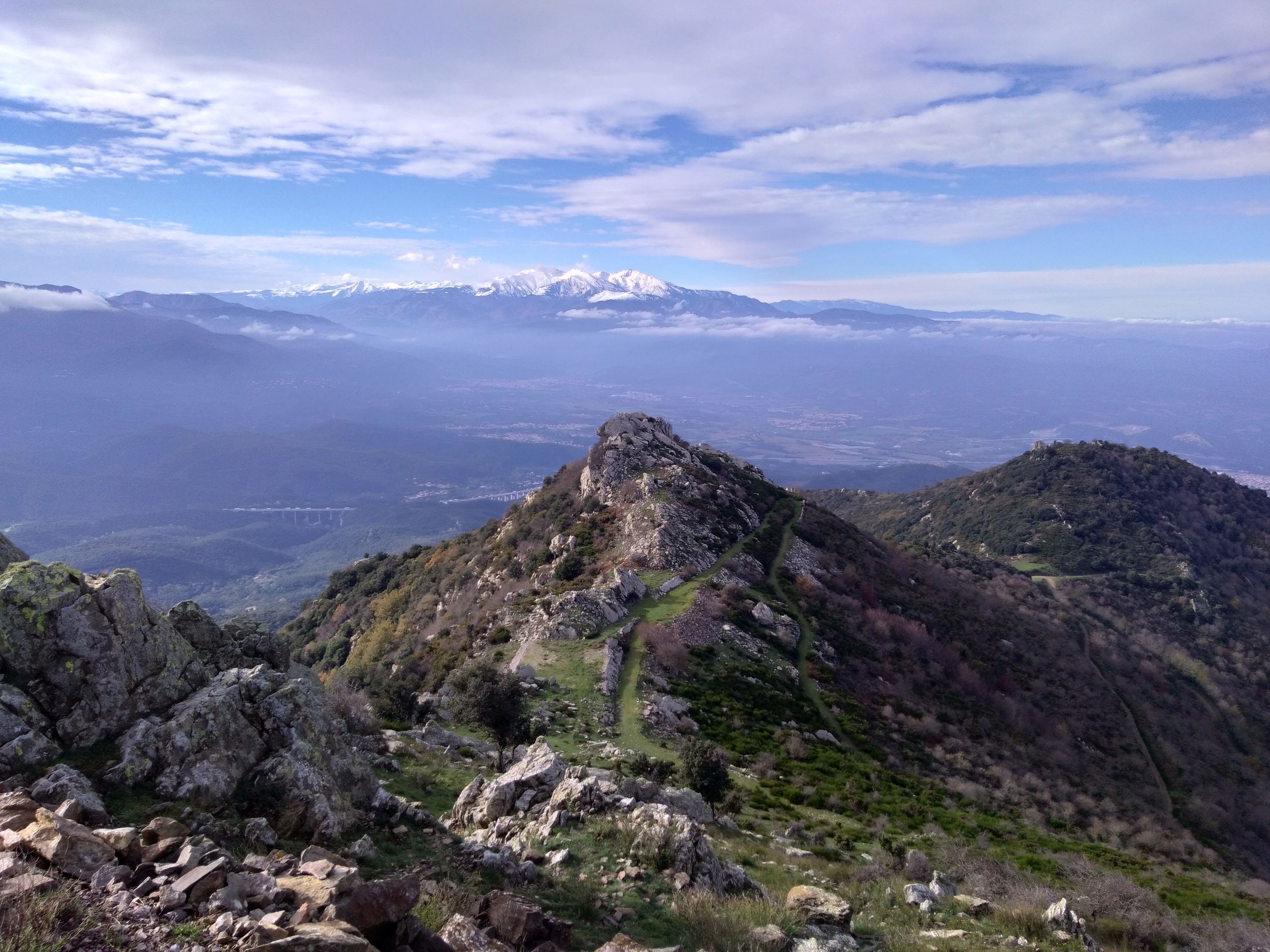
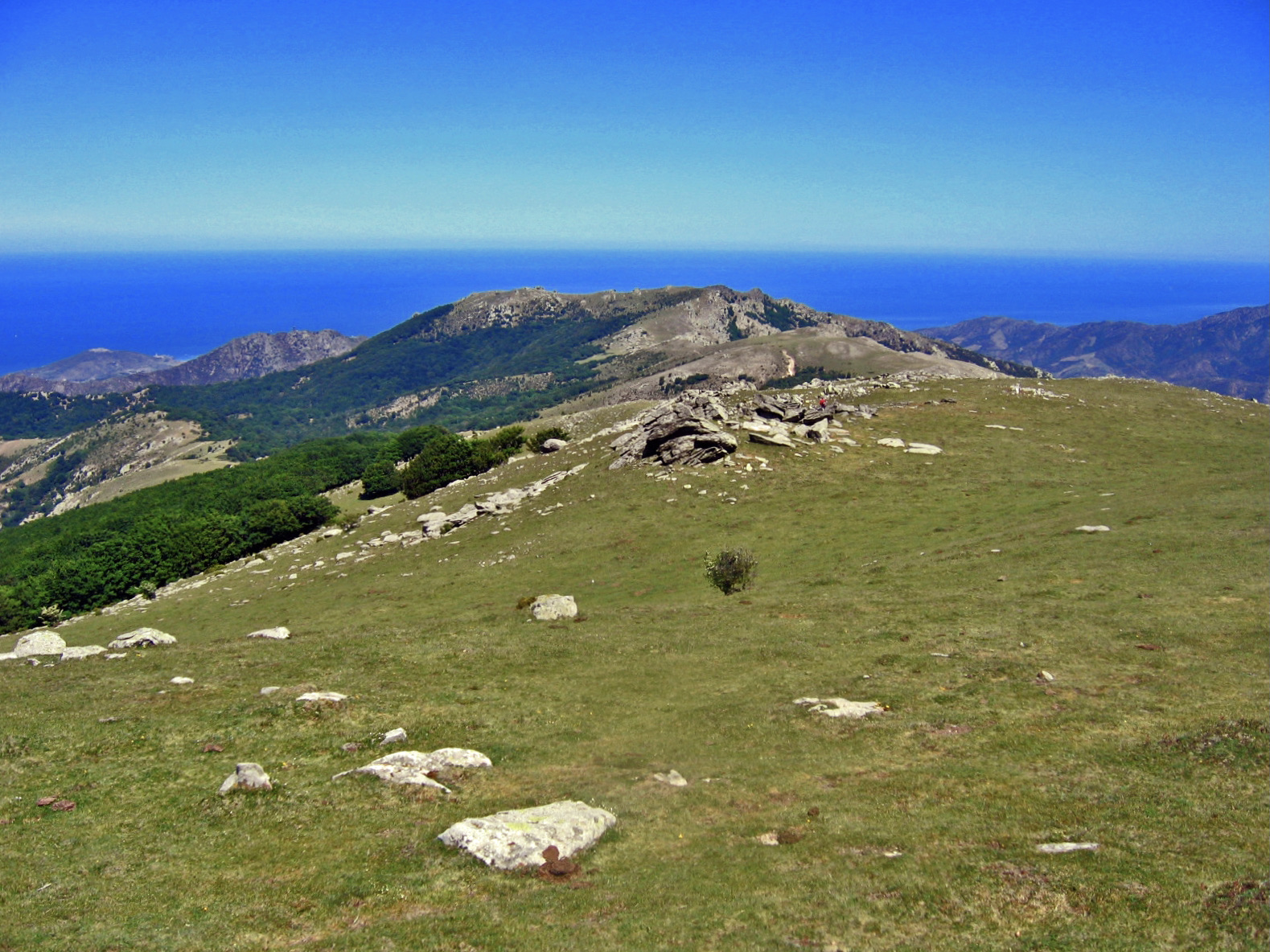
Pleasant hike in the "happy valley". The path runs along the Sorède river and passes very close to the Spanish border. It is possible to come across a few herds of cows.
The trail has quite technical and poorly marked parts.

Already more than 200,000 users!
Uphill
1018m
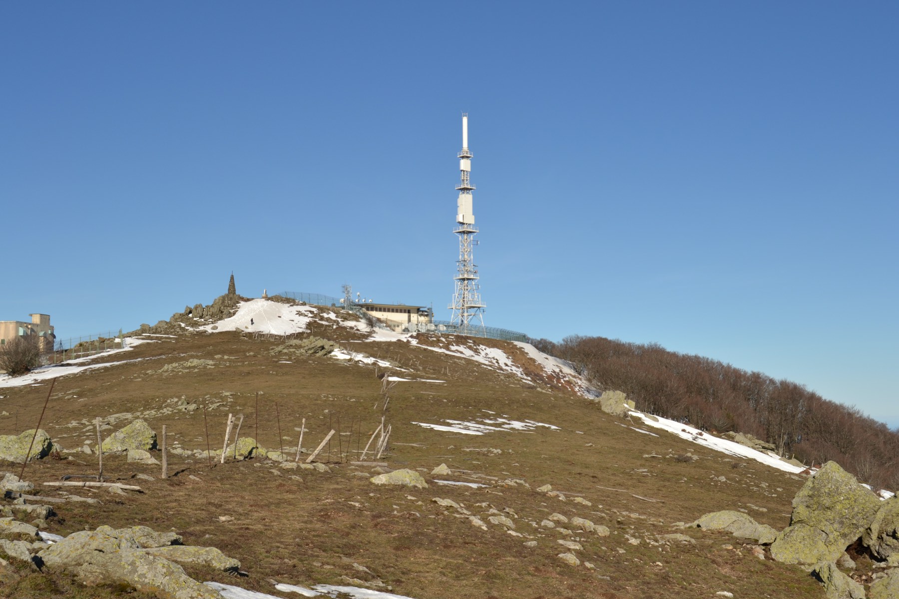
Highest point
1136m
Downhill
1018m
Lowest point
199m
Route type
Loop
Download the map on your smartphone to save battery and rest assured to always keep access to the route, even without signal.
Includes IGN France and Swisstopo.
I indicate whether dogs are allowed or prohibited on this trail
All year
0 ratings
Also enjoy:

Already more than 200,000 users!