Uphill
426m
Length
8km
Duration
3h
Elev gain
426m
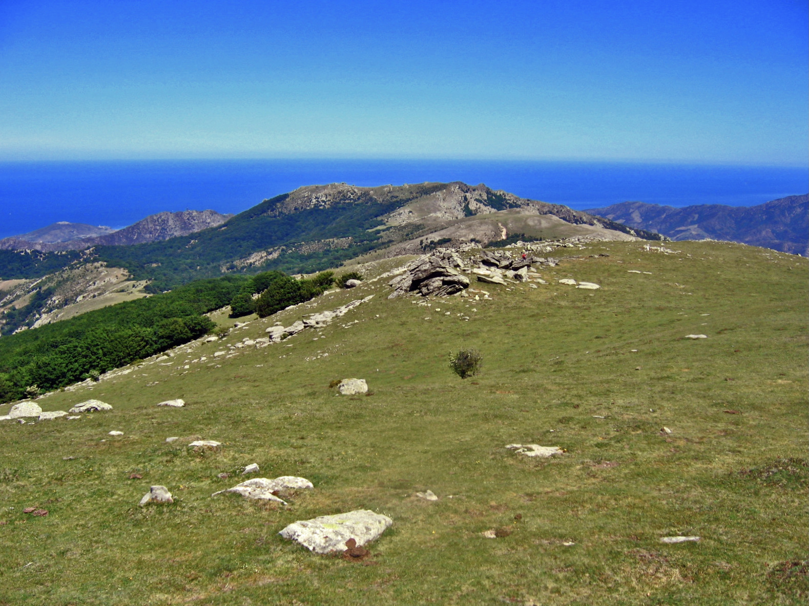
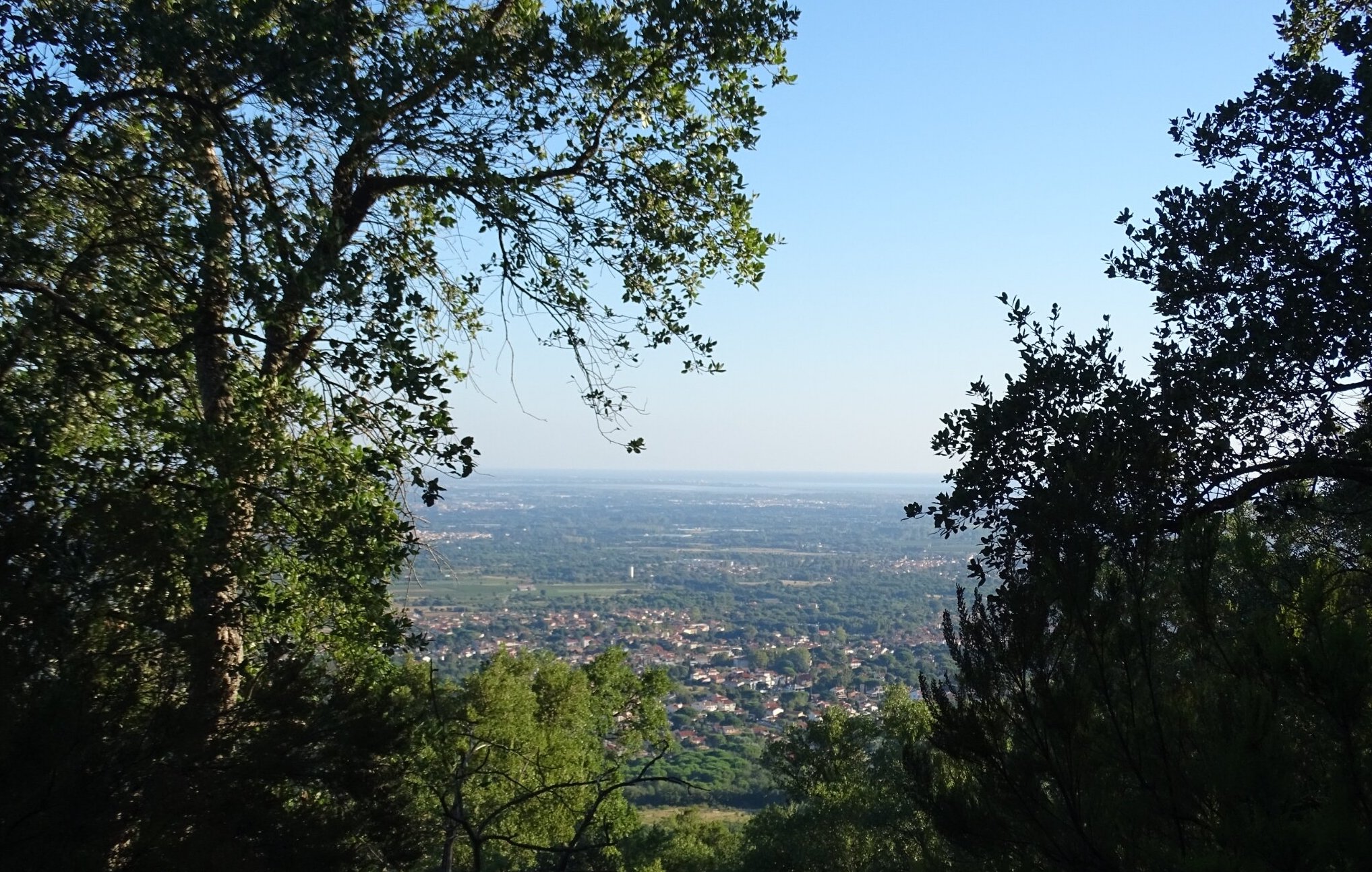
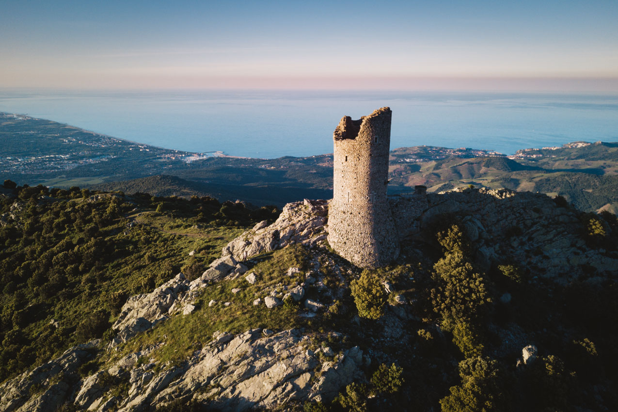
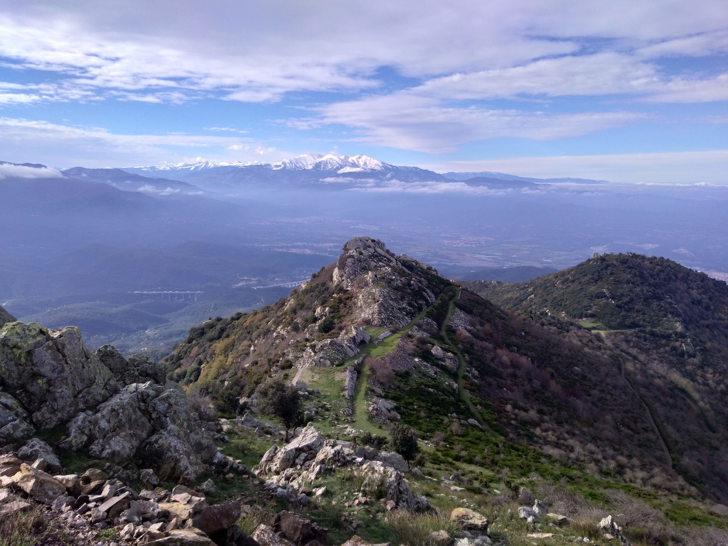
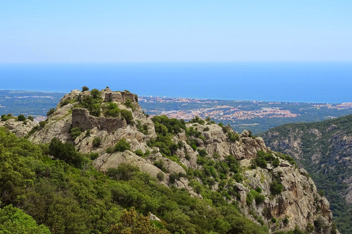
Departing from Sorède, this hike in the Albères massif leads to Ultrera castle. This one offers a very nice view extending to the Mediterranean Sea.

Already more than 200,000 users!
Uphill
426m
Highest point
492m
Downhill
426m
Lowest point
133m
Route type
Loop
Download the map on your smartphone to save battery and rest assured to always keep access to the route, even without signal.
Includes IGN France and Swisstopo.
I indicate whether dogs are allowed or prohibited on this trail
All year
6 ratings
Très chouette rando avec de magnifiques points de vue. Nous avons préféré prendre des petits sentier lorsque c'etait possible.
Nous étions surpris de découvrir les traces d'un four solaire construit en 1900.
Also enjoy:

Already more than 200,000 users!