Uphill
478m
Length
6km
Duration
3h
Elev gain
478m
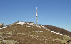
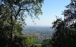
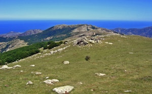
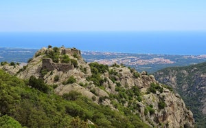
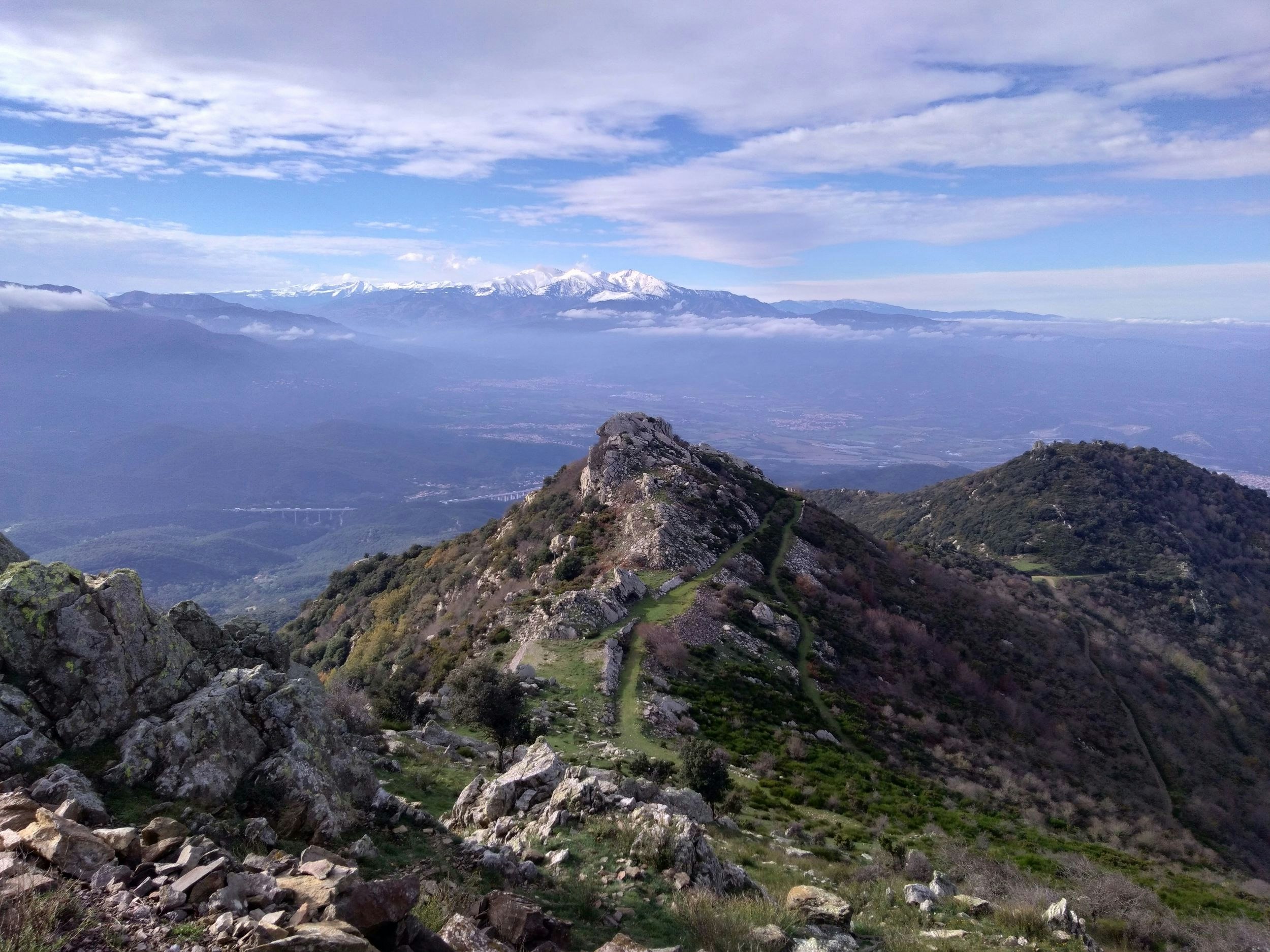
Departing from Albère, this hike climbs to the Saint-Christophe peak, at 1,015 meters. On the outward journey, the path passes near a Romanesque chapel and the ruins of a medieval castle. The climb is tough up to the peak but worth it, with some technical passages. However, the view of the surrounding mountains is spectacular.
Note that the circuit follows a road for about one kilometer.

Already more than 200,000 users!
Uphill
478m
Highest point
983m
Downhill
478m
Lowest point
540m
Route type
Loop
Download the map on your smartphone to save battery and rest assured to always keep access to the route, even without signal.
Includes IGN France and Swisstopo.
I indicate whether dogs are allowed or prohibited on this trail
All year
1 rating
Also enjoy:

Already more than 200,000 users!