Uphill
322m
Length
13km
Duration
4h
Elev gain
322m
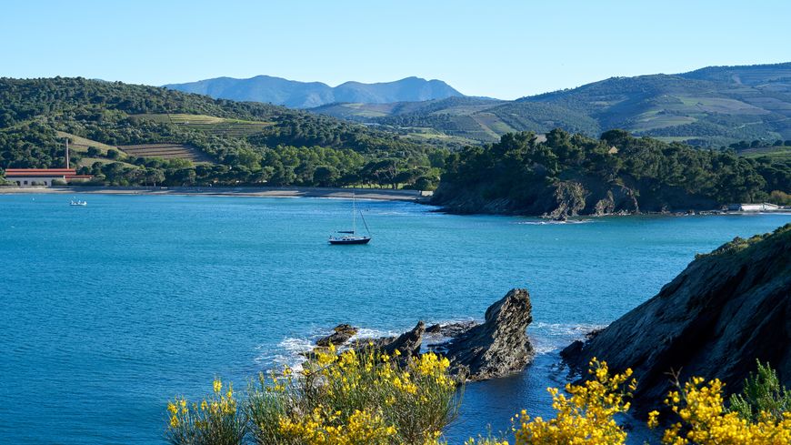
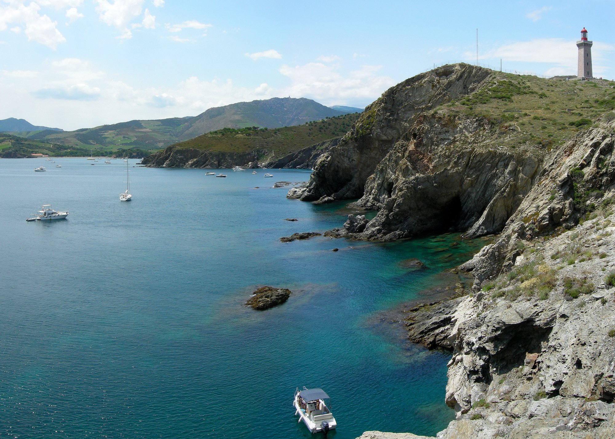
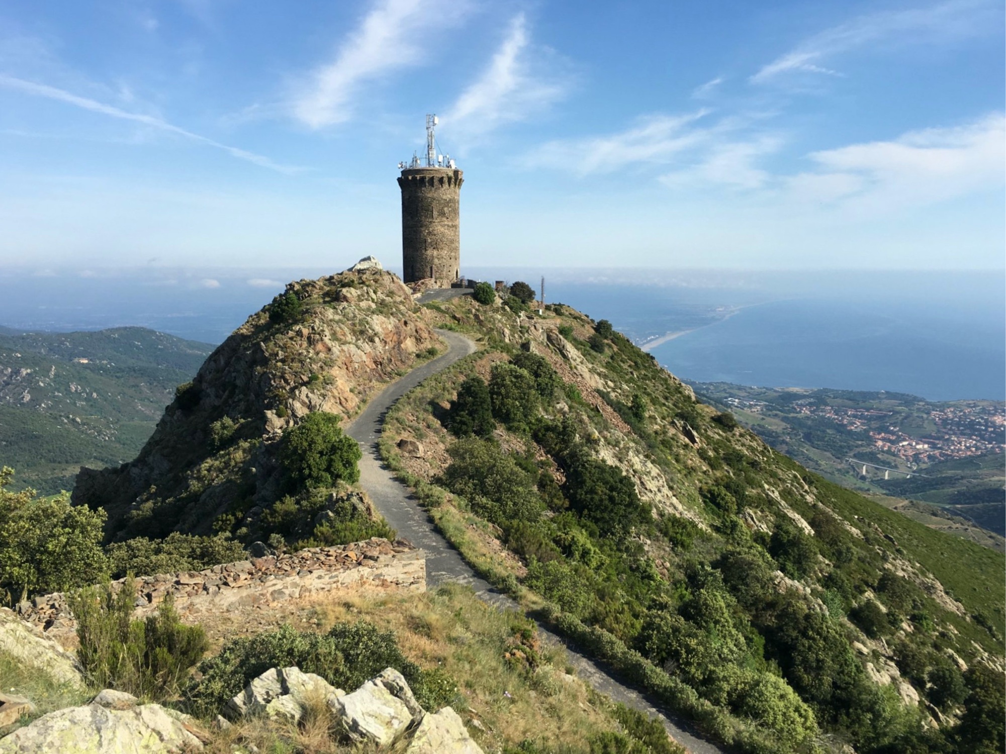
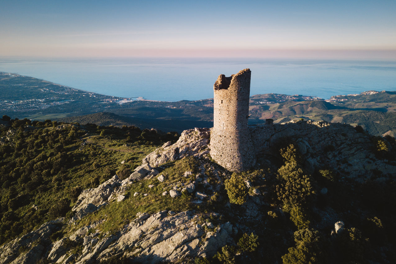
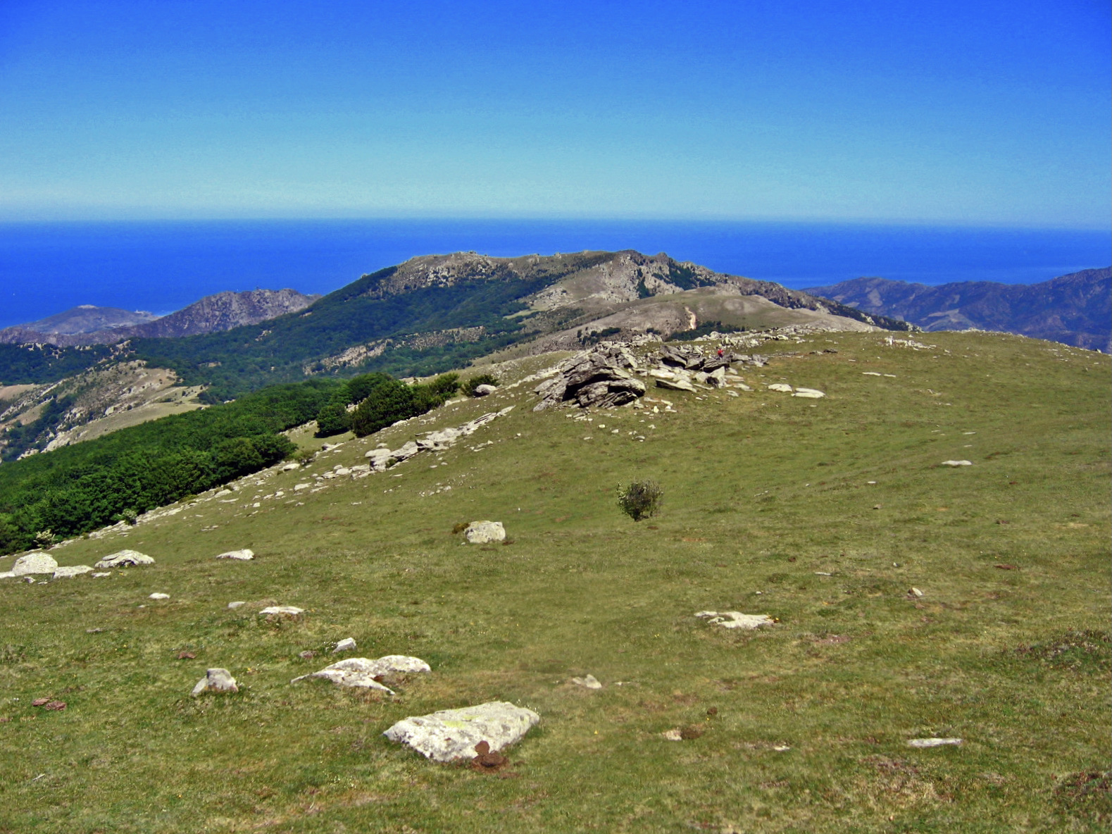
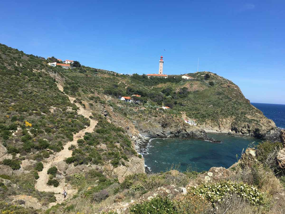
This is a magnificent hike on the Vermeille coast. The coastal path starts in Banyuls-sur-Mer and leads to Cap Béar. On the way, pretty beaches and viewpoints over the Mediterranean Sea. The return is by the same path.
Note that it is possible to go as far as Cap Béar and return by train to the starting point.

Already more than 200,000 users!
Uphill
322m
Highest point
65m
Downhill
322m
Lowest point
0m
Route type
There and back
Download the map on your smartphone to save battery and rest assured to always keep access to the route, even without signal.
Includes IGN France and Swisstopo.
2 ratings
Also enjoy:

Already more than 200,000 users!