Uphill
244m
Length
11km
Duration
3h30min
Elev gain
244m
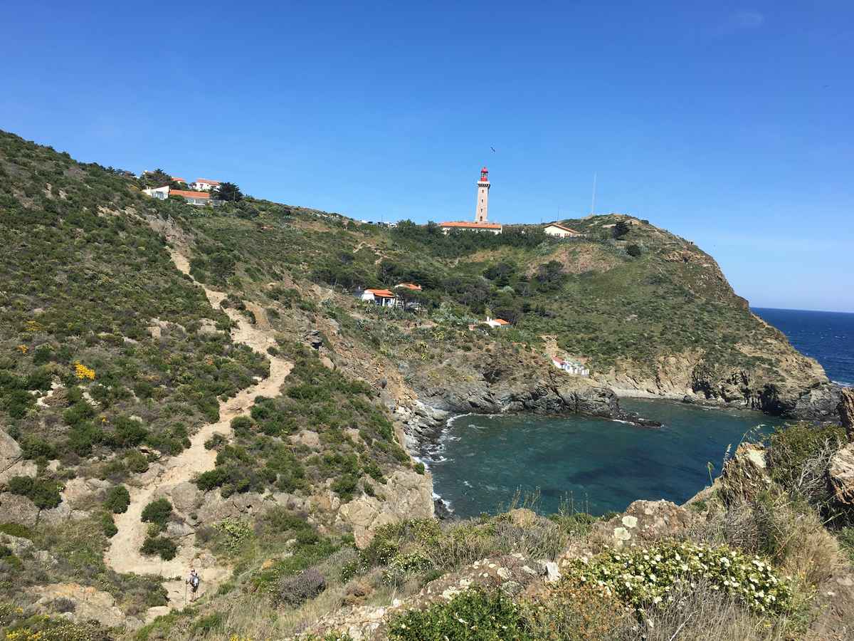
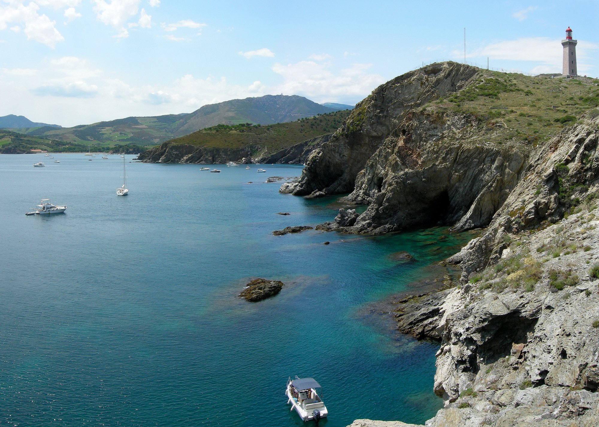
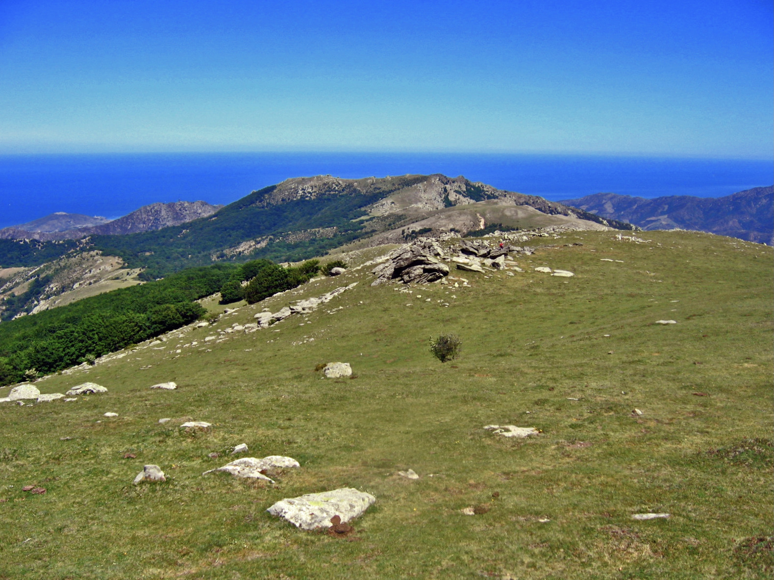
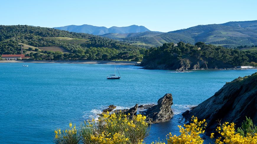
Here is a coastal path evolving on a relatively preserved portion of the coast. On the program: a rocky coast with a few beaches and coves, vineyards, maritime pines. The route also passes by the Béar lighthouse.
The return can be made by train.

Already more than 200,000 users!
Uphill
244m
Highest point
83m
Downhill
231m
Lowest point
0m
Route type
One way
Download the map on your smartphone to save battery and rest assured to always keep access to the route, even without signal.
Includes IGN France and Swisstopo.
Parking du port at Port-Vendres.
Parking next to the picnic area of Cap d'Oasna at Banyuls.
There are also train stations in each city.
I indicate whether dogs are allowed or prohibited on this trail
All year
1 rating
Incroyable
Also enjoy:

Already more than 200,000 users!