Uphill
432m
Length
7km
Duration
3h
Elev gain
432m
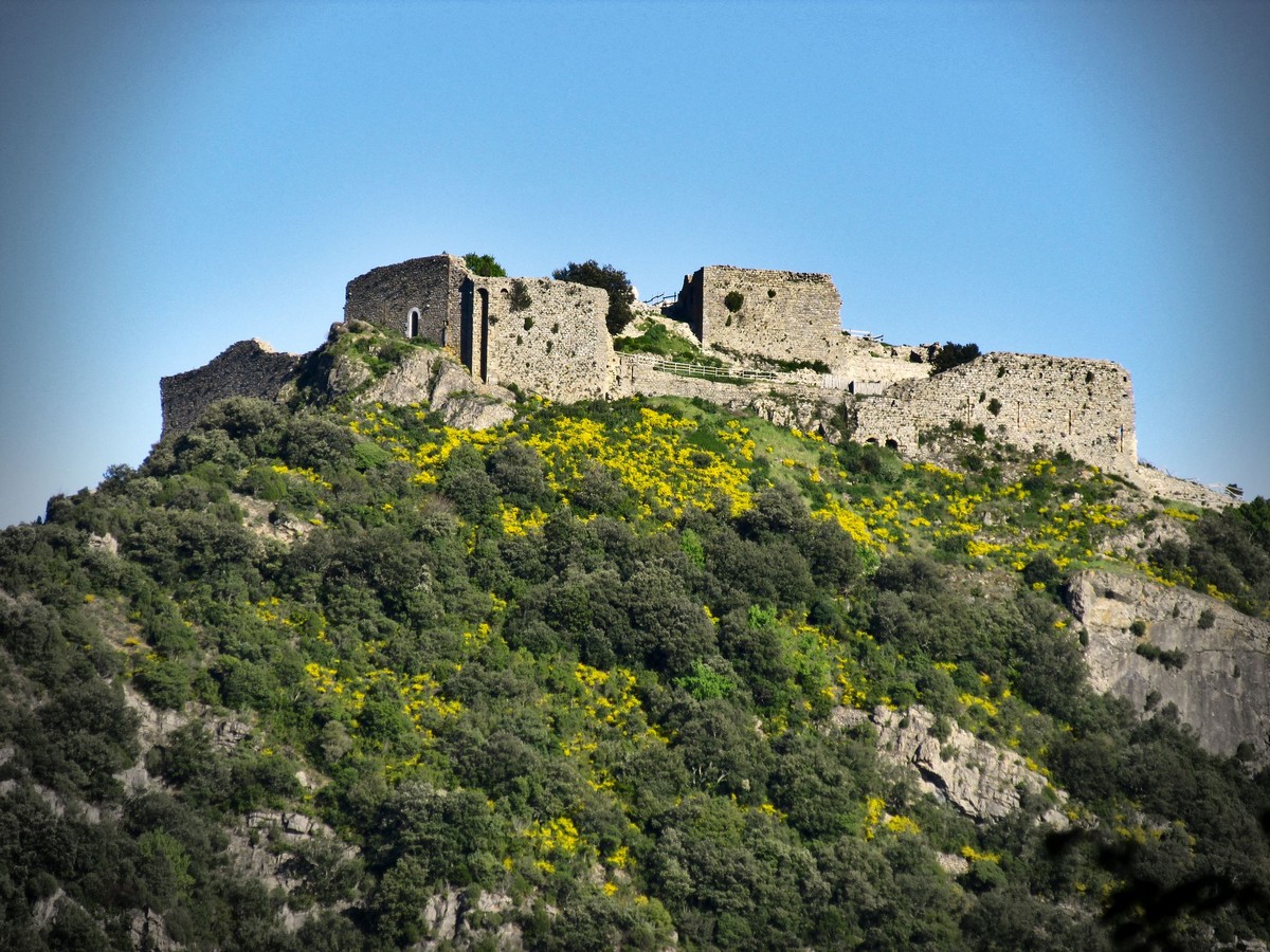
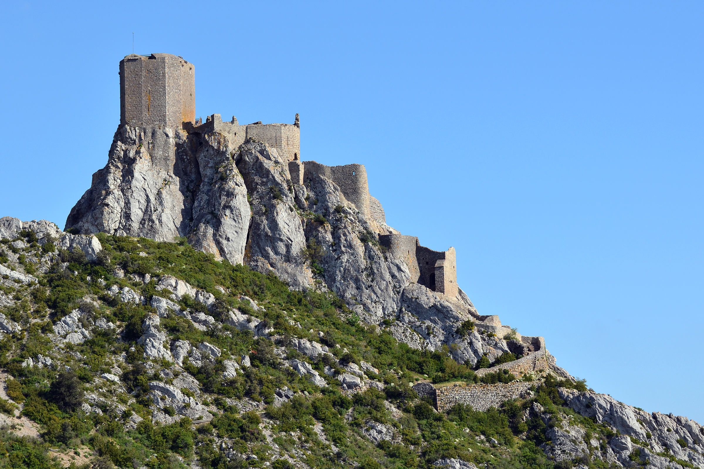
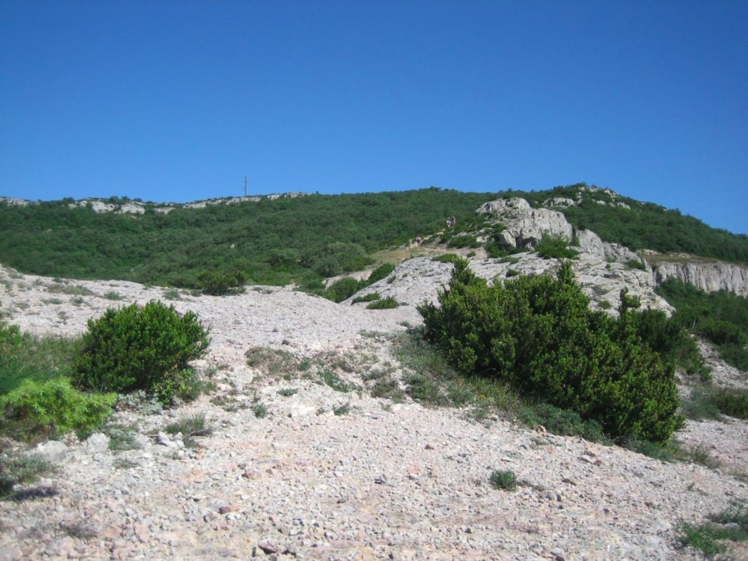
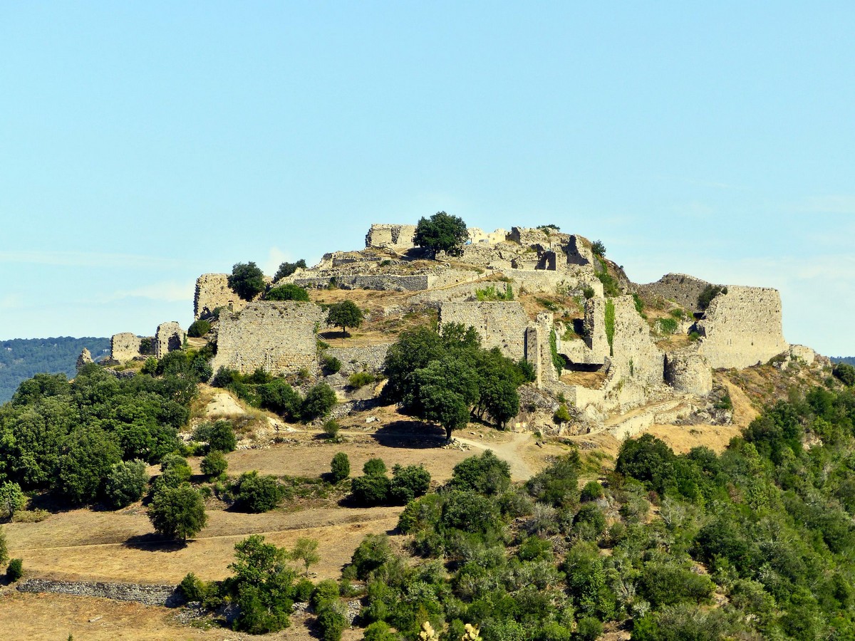
After leaving Termes, very close to the stream, the route climbs up to La Frau, where the view is superb. The path then continues, between forest and meadows, to the ruins of the medieval castle of Termes.

Already more than 200,000 users!
Uphill
432m
Highest point
505m
Downhill
432m
Lowest point
245m
Route type
Loop
Download the map on your smartphone to save battery and rest assured to always keep access to the route, even without signal.
Includes IGN France and Swisstopo.
I indicate whether dogs are allowed or prohibited on this trail
All year
0 ratings
Also enjoy:

Already more than 200,000 users!