Uphill
108m
Length
8km
Duration
2h
Elev gain
108m
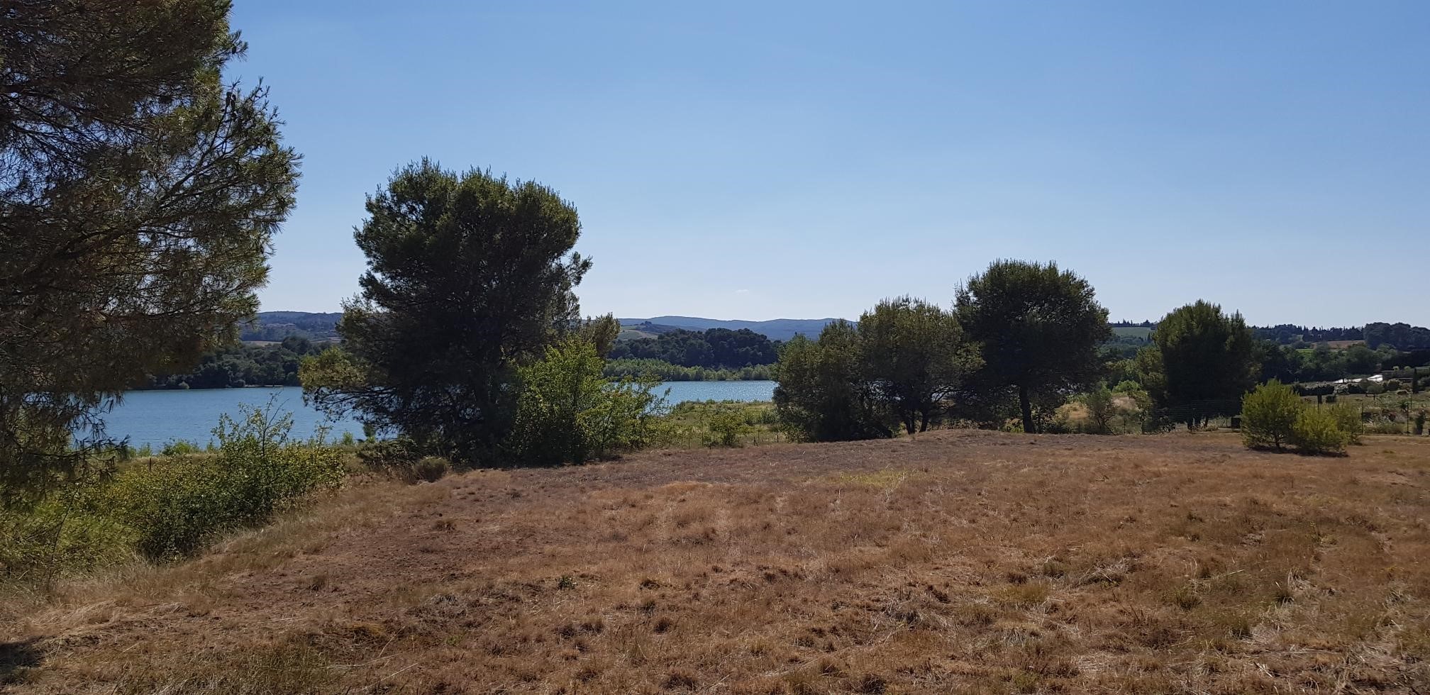
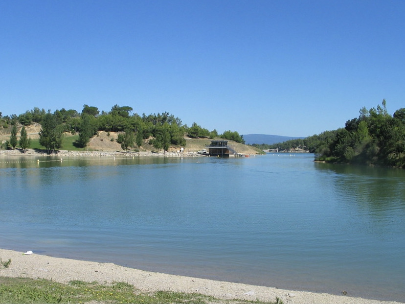
This route begins on the shores of Lac de la Cavayère, heavily equipped for nautical activities, then takes a little height in the forest near Montirat. The views of the lake are numerous and the landscapes are very beautiful.

Already more than 200,000 users!
Uphill
108m
Highest point
197m
Downhill
108m
Lowest point
125m
Route type
Loop
Download the map on your smartphone to save battery and rest assured to always keep access to the route, even without signal.
Includes IGN France and Swisstopo.
I indicate whether dogs are allowed or prohibited on this trail
All year
0 ratings
Also enjoy:

Already more than 200,000 users!