Uphill
339m
Length
6km
Duration
2h30min
Elev gain
339m
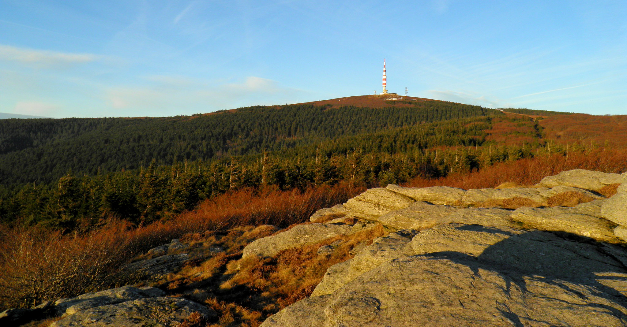
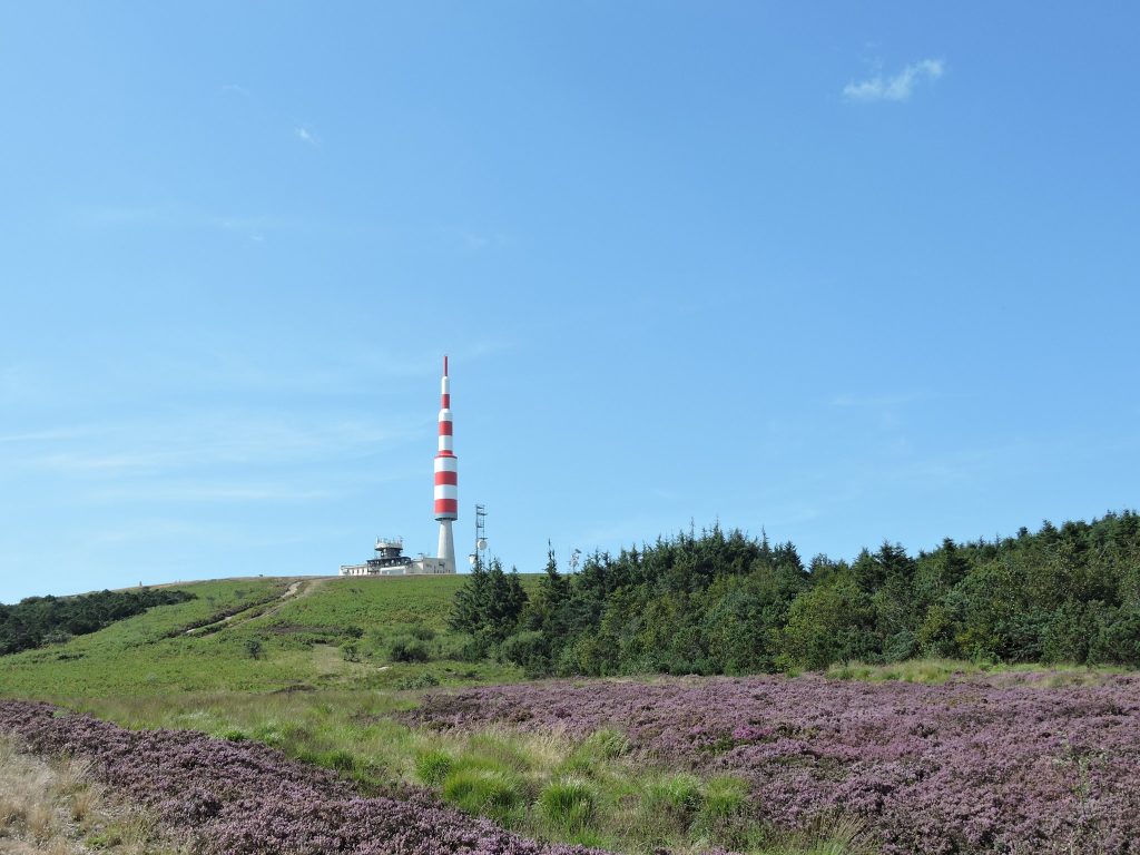
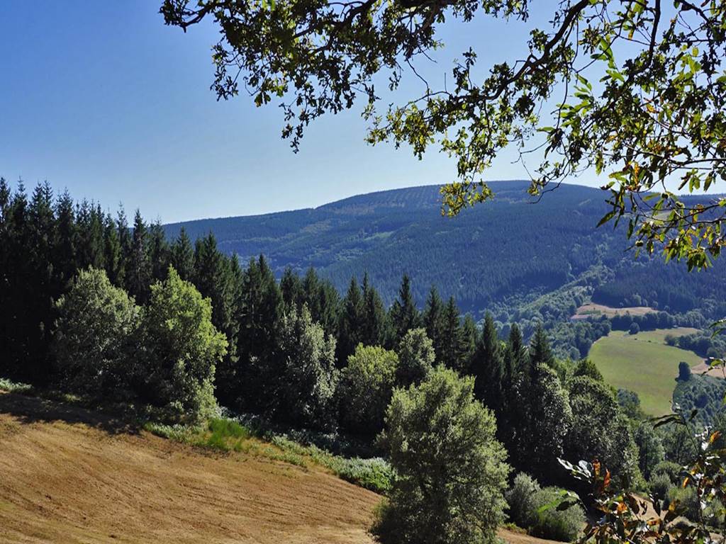
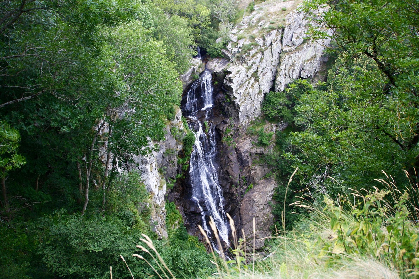
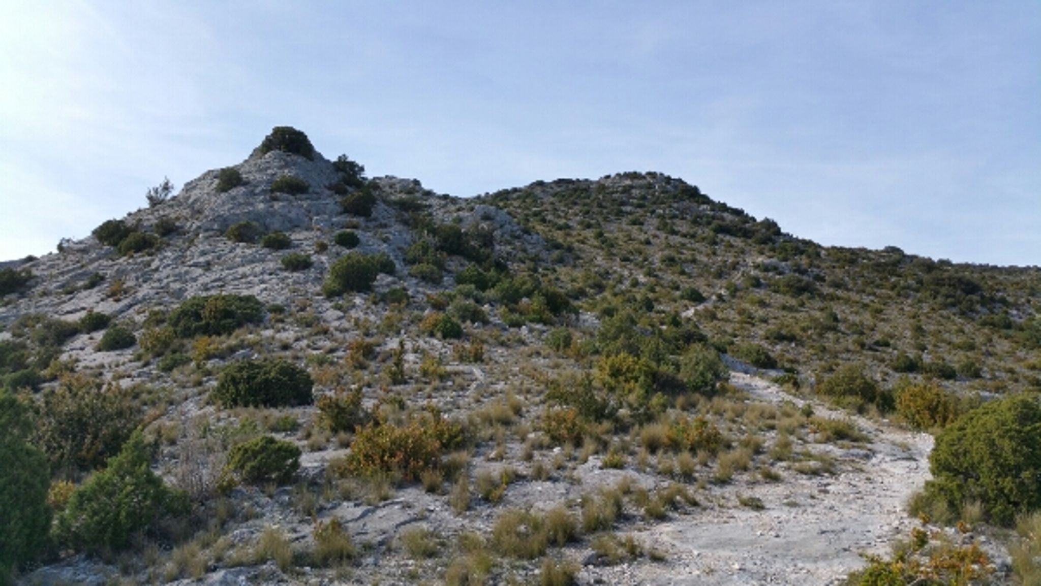
Departing from the Gouffre de Cabrespine, this trail combines natural and historical heritage. Indeed, in addition to being in an idyllic setting, the route passes through the caves of the Maquis and Corolunala, places where the resistance fighters of the Armagnac maquis took refuge under the German occupation.

Already more than 200,000 users!
Uphill
339m
Highest point
536m
Downhill
339m
Lowest point
384m
Route type
Loop
Download the map on your smartphone to save battery and rest assured to always keep access to the route, even without signal.
Includes IGN France and Swisstopo.
I indicate whether dogs are allowed or prohibited on this trail
All year
1 rating
Also enjoy:

Already more than 200,000 users!