Uphill
367m
Length
6km
Duration
2h30min
Elev gain
367m
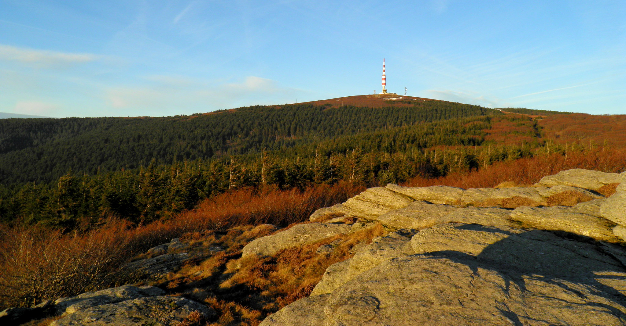
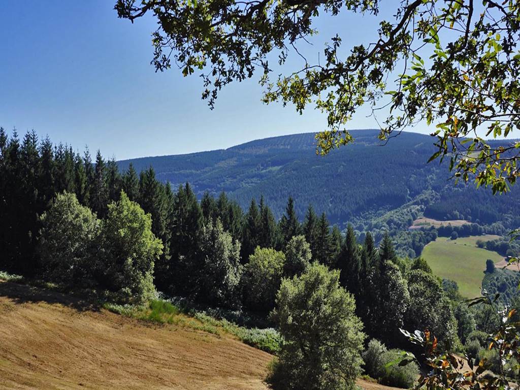
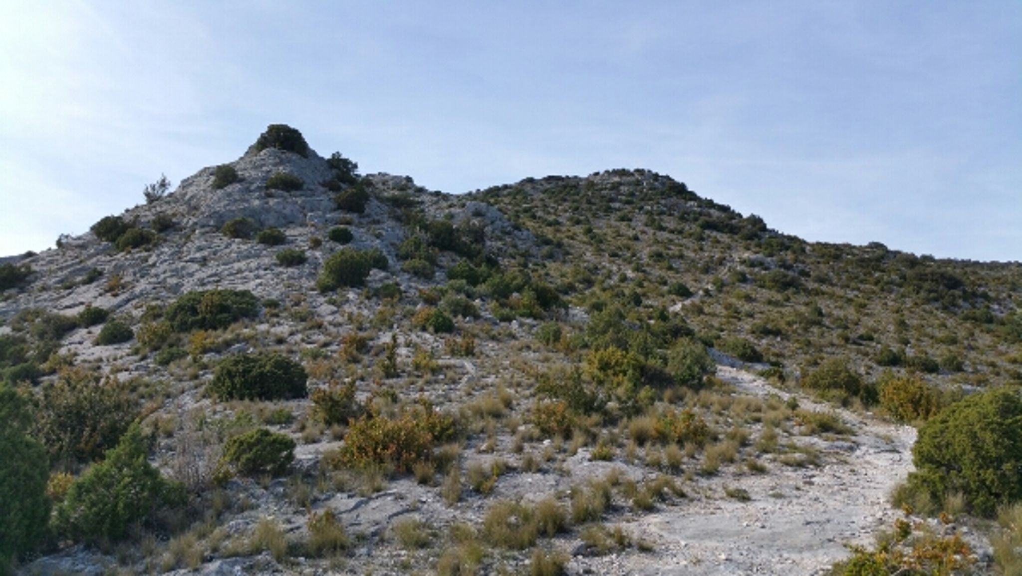
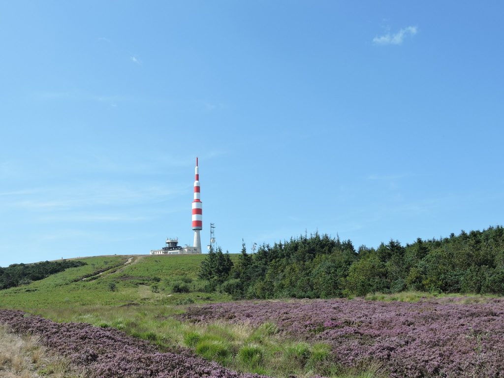
Departing from Pradelles-Cabardès, this hike takes on the Pic de Nore, located at an altitude of 1,211 metres. The path climbs steadily and passes through the Roquo d'Astié (1,060 m) before reaching the summit of the hike, the Pic de Nore. At the top awaits a beautiful 360° panorama.

Already more than 200,000 users!
Uphill
367m
Highest point
1200m
Downhill
367m
Lowest point
831m
Route type
There and back
Download the map on your smartphone to save battery and rest assured to always keep access to the route, even without signal.
Includes IGN France and Swisstopo.
I indicate whether dogs are allowed or prohibited on this trail
Can be difficult in Winter
0 ratings
Also enjoy:

Already more than 200,000 users!