Uphill
384m
Length
13km
Duration
4h
Elev gain
384m
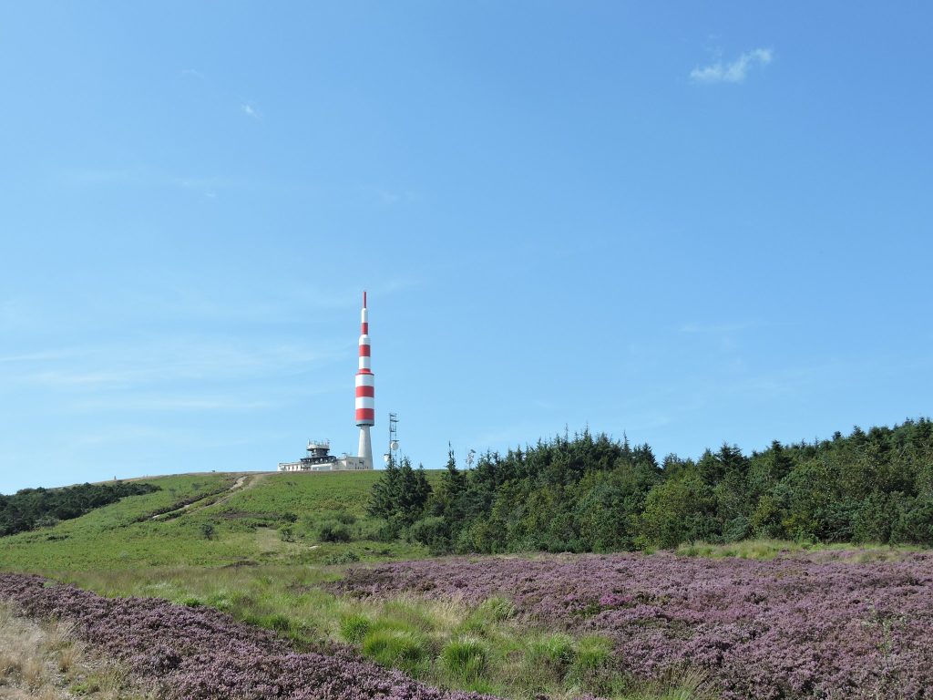
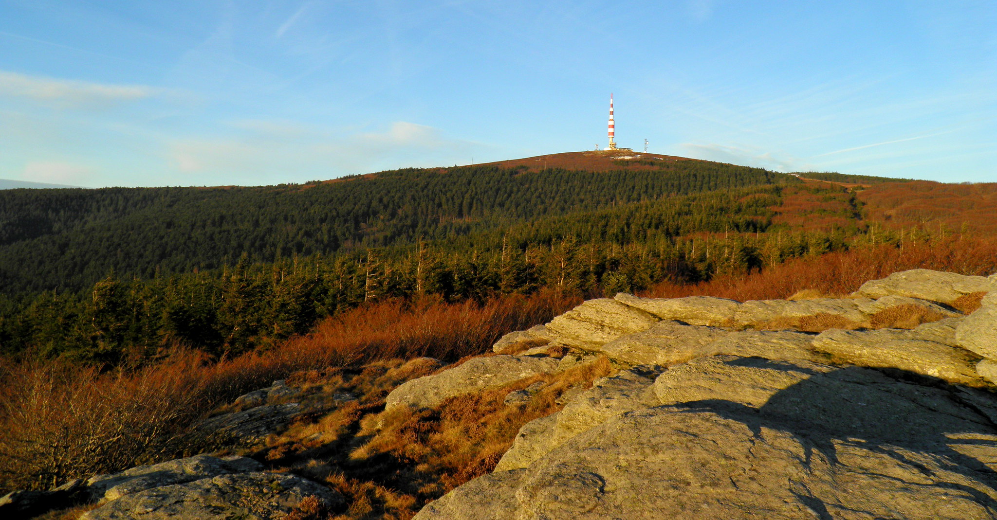
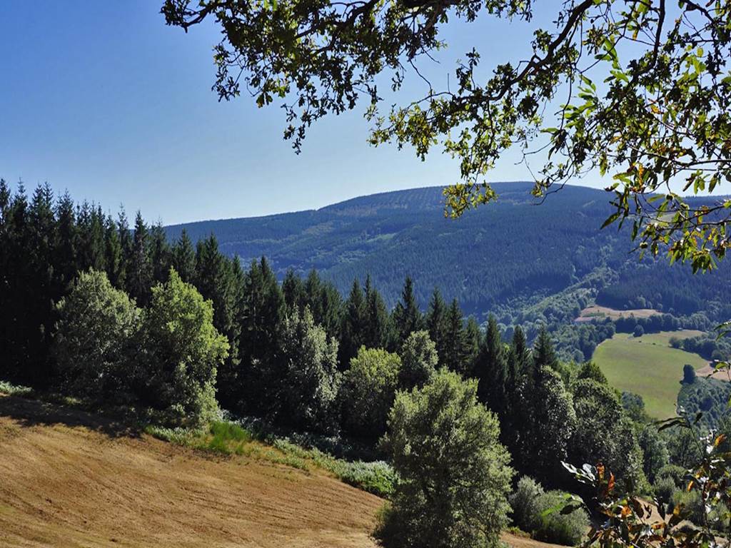
It is not far from Mazamet that this hike takes place. Starting from the Nore gate, this route makes a loop in the heart of the Vaissières forest, alternating between paths and forest roads.

Already more than 200,000 users!
Uphill
384m
Highest point
1141m
Downhill
384m
Lowest point
831m
Route type
Loop
Download the map on your smartphone to save battery and rest assured to always keep access to the route, even without signal.
Includes IGN France and Swisstopo.
I indicate whether dogs are allowed or prohibited on this trail
Can be difficult in Winter
0 ratings
Also enjoy:

Already more than 200,000 users!