Uphill
419m
Length
9km
Duration
3h30min
Elev gain
419m
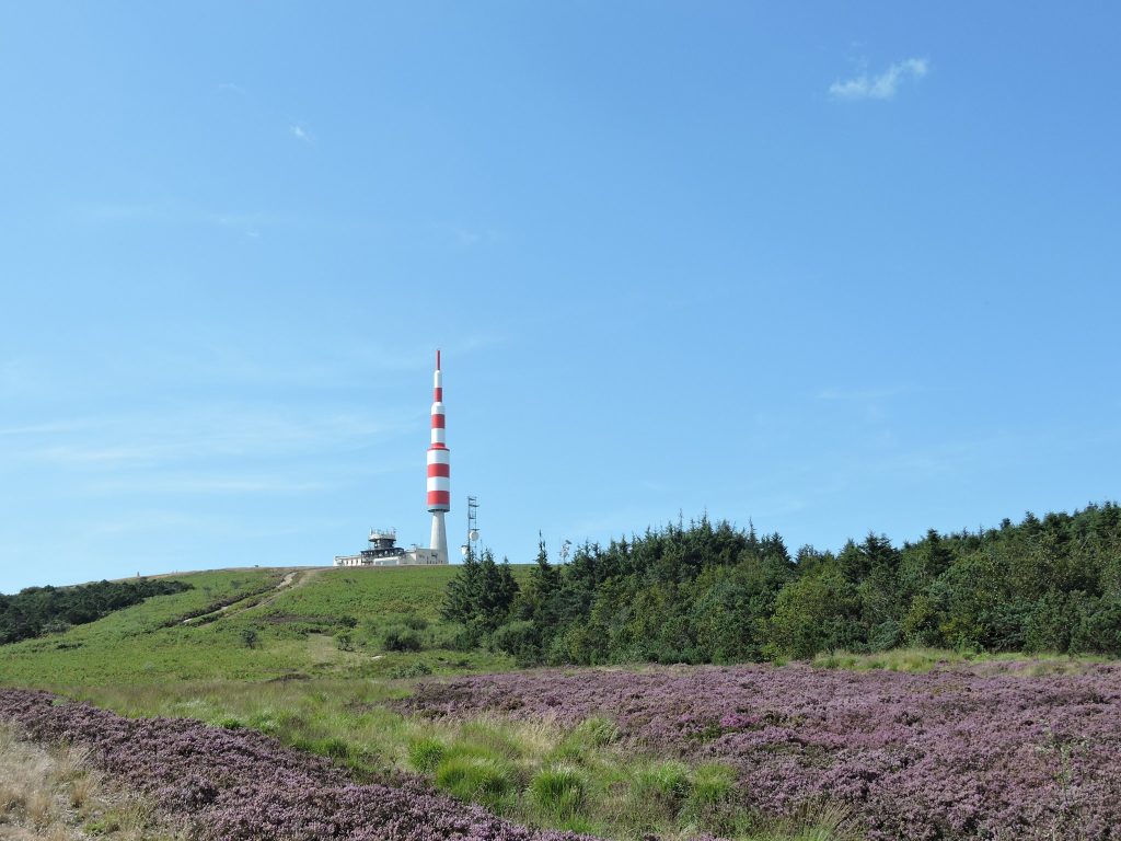
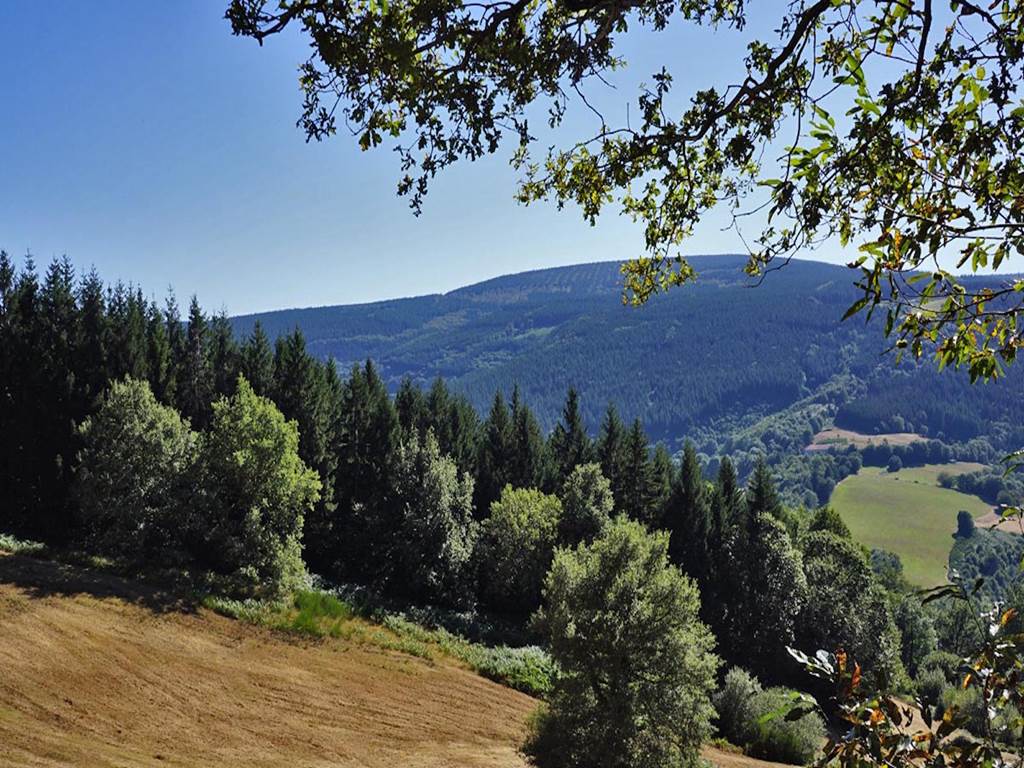
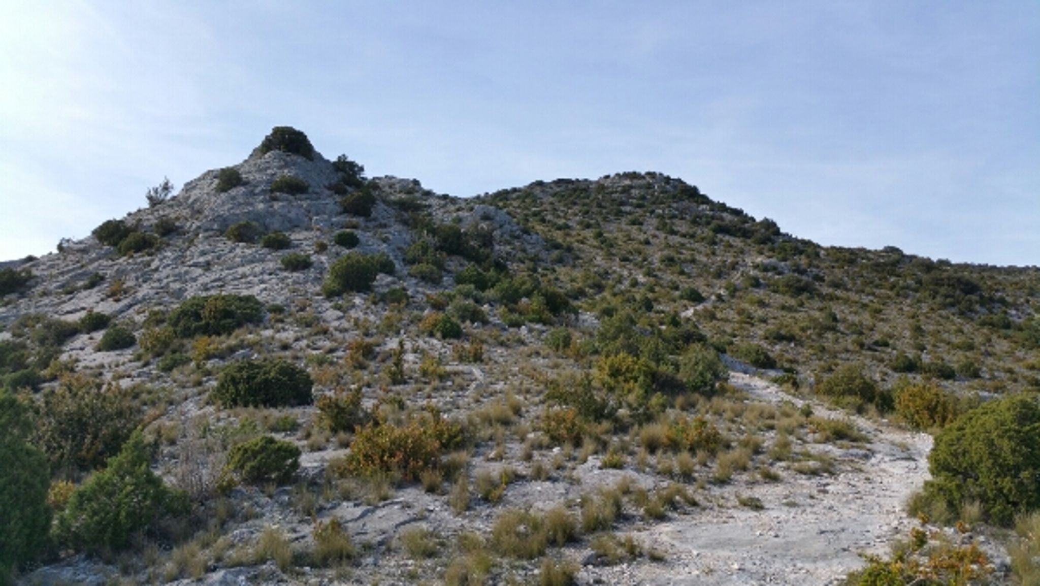
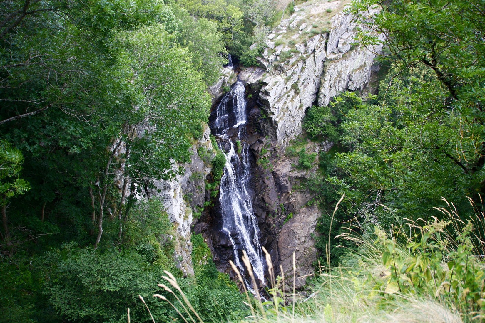
Departing from the village of Pradelles-Cabardès, ascent of the highest point of the Montagne Noire (1,211m). The path takes place mainly in a beech forest, while the summit offers a magnificent 360° panorama, sometimes extending to the Pyrenees.

Already more than 200,000 users!
Uphill
419m
Highest point
1198m
Downhill
419m
Lowest point
829m
Route type
Loop
Download the map on your smartphone to save battery and rest assured to always keep access to the route, even without signal.
Includes IGN France and Swisstopo.
I indicate whether dogs are allowed or prohibited on this trail
All year
0 ratings
Also enjoy:

Already more than 200,000 users!