Uphill
278m

Length
3km
Duration
2h
Elev gain
278m
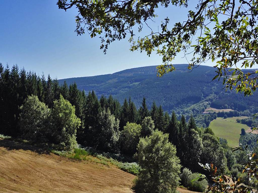
Departing from the medieval village of Hautpoul, this tourist walk sets out to discover the famous Mazamet footbridge, the crossing of which promises strong sensations. A beautiful walk that combines built heritage and natural heritage.

Already more than 200,000 users!
Uphill
278m
Highest point
497m
Downhill
278m
Lowest point
311m
Route type
Loop
Download the map on your smartphone to save battery and rest assured to always keep access to the route, even without signal.
Includes IGN France and Swisstopo.
I indicate whether dogs are allowed or prohibited on this trail
All year
3 ratings
Also enjoy:

Already more than 200,000 users!