Uphill
697m
Length
15km
Duration
5h30min
Elev gain
697m
Leaving from Mazamet, this route quickly reaches the superb Mazamet footbridge before continuing towards Lac des Montagnès. The path passes by the ruins of Hautpoul castle on the outward journey and then by the Plo de la Bise belvedere on the way back.
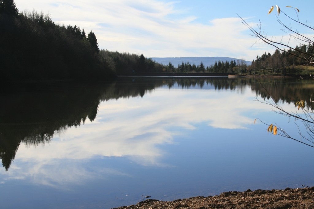
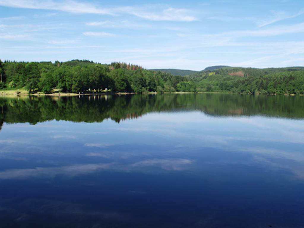
Ideal for planning a picnic break at the charming Lac des Montagnès, located halfway through.

Already more than 200,000 users!
Uphill
697m
Highest point
740m
Downhill
697m
Lowest point
275m
Route type
Loop
Download the map on your smartphone to save battery and rest assured to always keep access to the route, even without signal.
Includes IGN France and Swisstopo.
I indicate whether dogs are allowed or prohibited on this trail
All year
1 rating
Très belle randonnée 🤩
1ère partie très bien balisée
2ème partie (après le Montagnès) plus de balisage et sentiers réservés à des randonneurs avertis et pas entretenus. Soyez prudent !
Also enjoy:

Already more than 200,000 users!