Uphill
159m
Length
7km
Duration
2h
Elev gain
159m
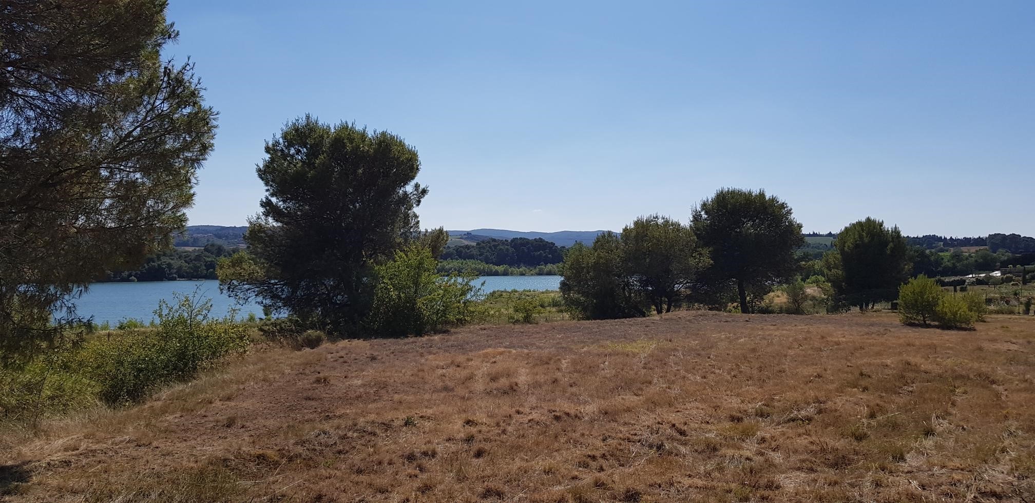
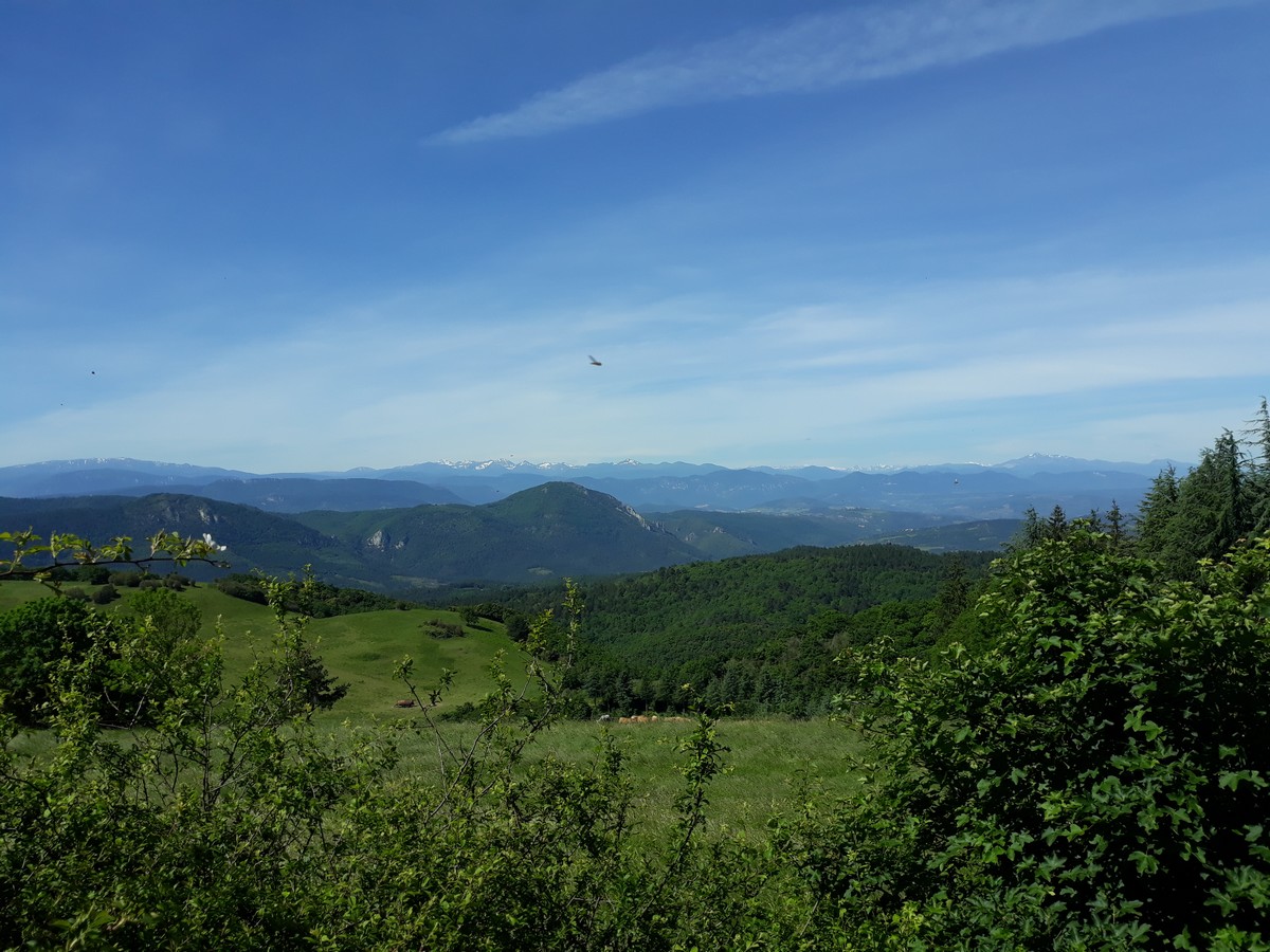
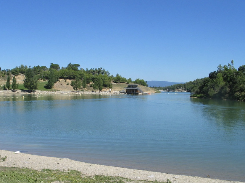
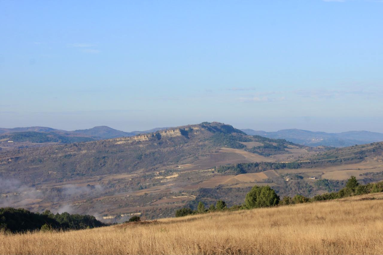
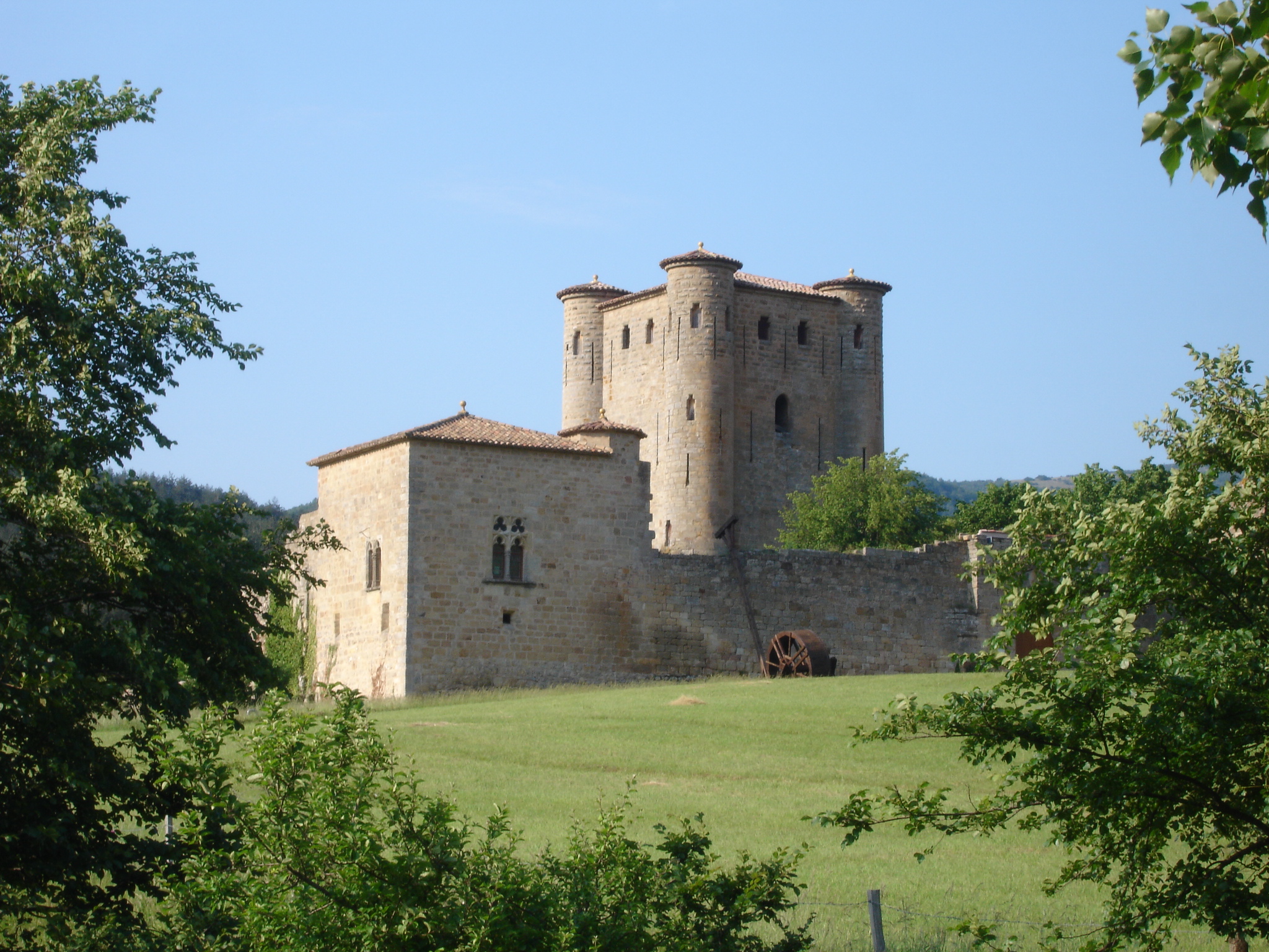
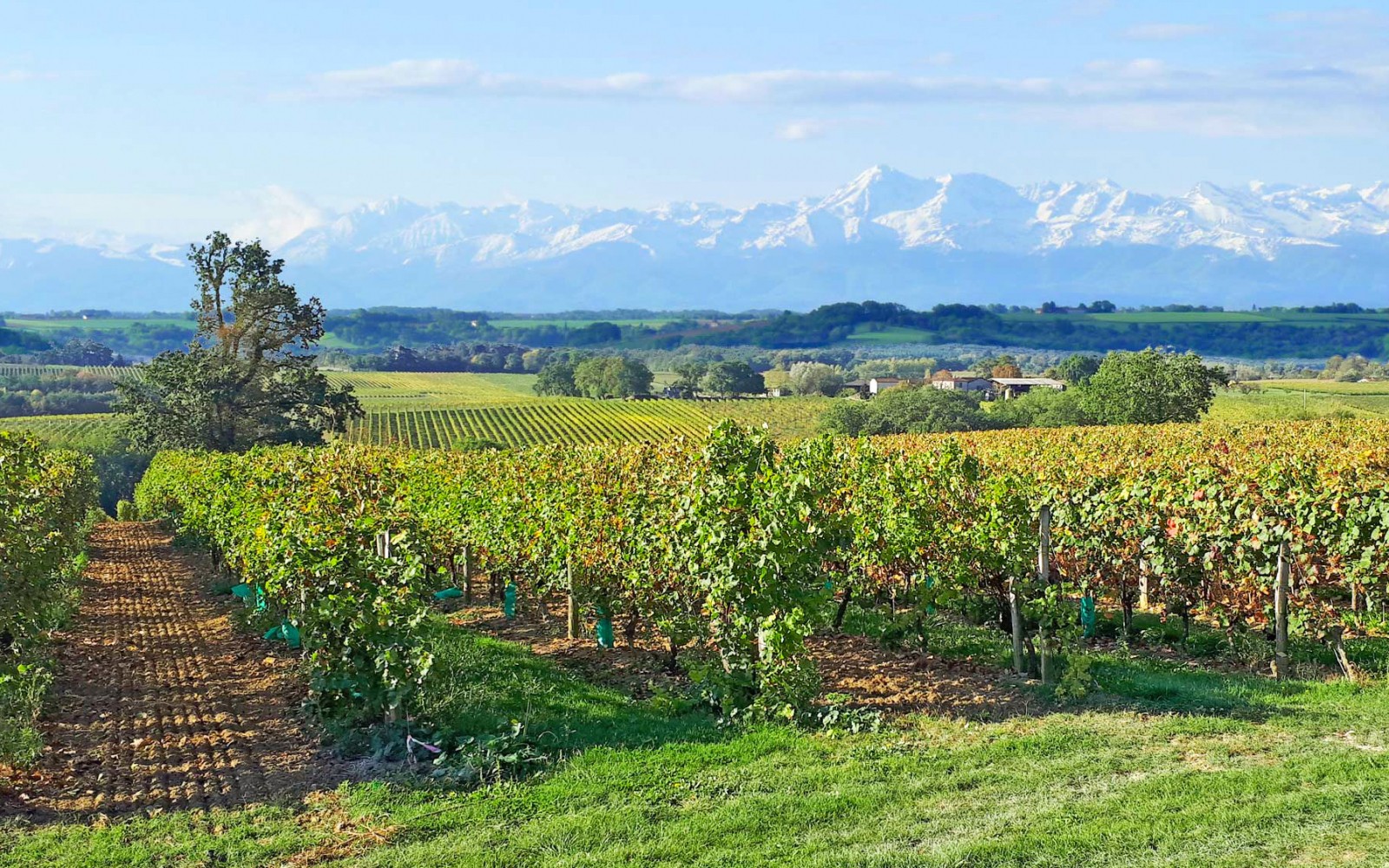
Here is a nice walk around Saint-Hilaire. Between vineyards and pastures, the path offers beautiful and varied landscapes.

Already more than 200,000 users!
Uphill
159m
Highest point
274m
Downhill
159m
Lowest point
132m
Route type
Loop
Download the map on your smartphone to save battery and rest assured to always keep access to the route, even without signal.
Includes IGN France and Swisstopo.
I indicate whether dogs are allowed or prohibited on this trail
All year
0 ratings
Also enjoy:

Already more than 200,000 users!