Uphill
236m
France > Occitanie > Aude > Corbières-Fenouillèdes Nature Park
Length
9km
Duration
3h
Elev gain
236m
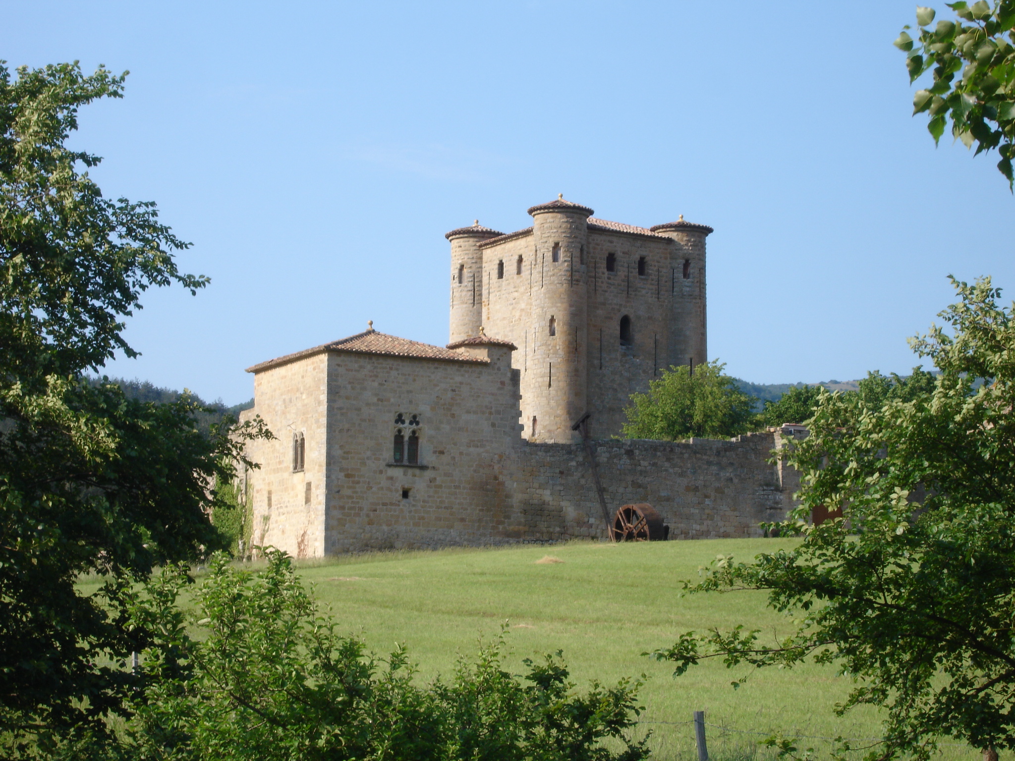
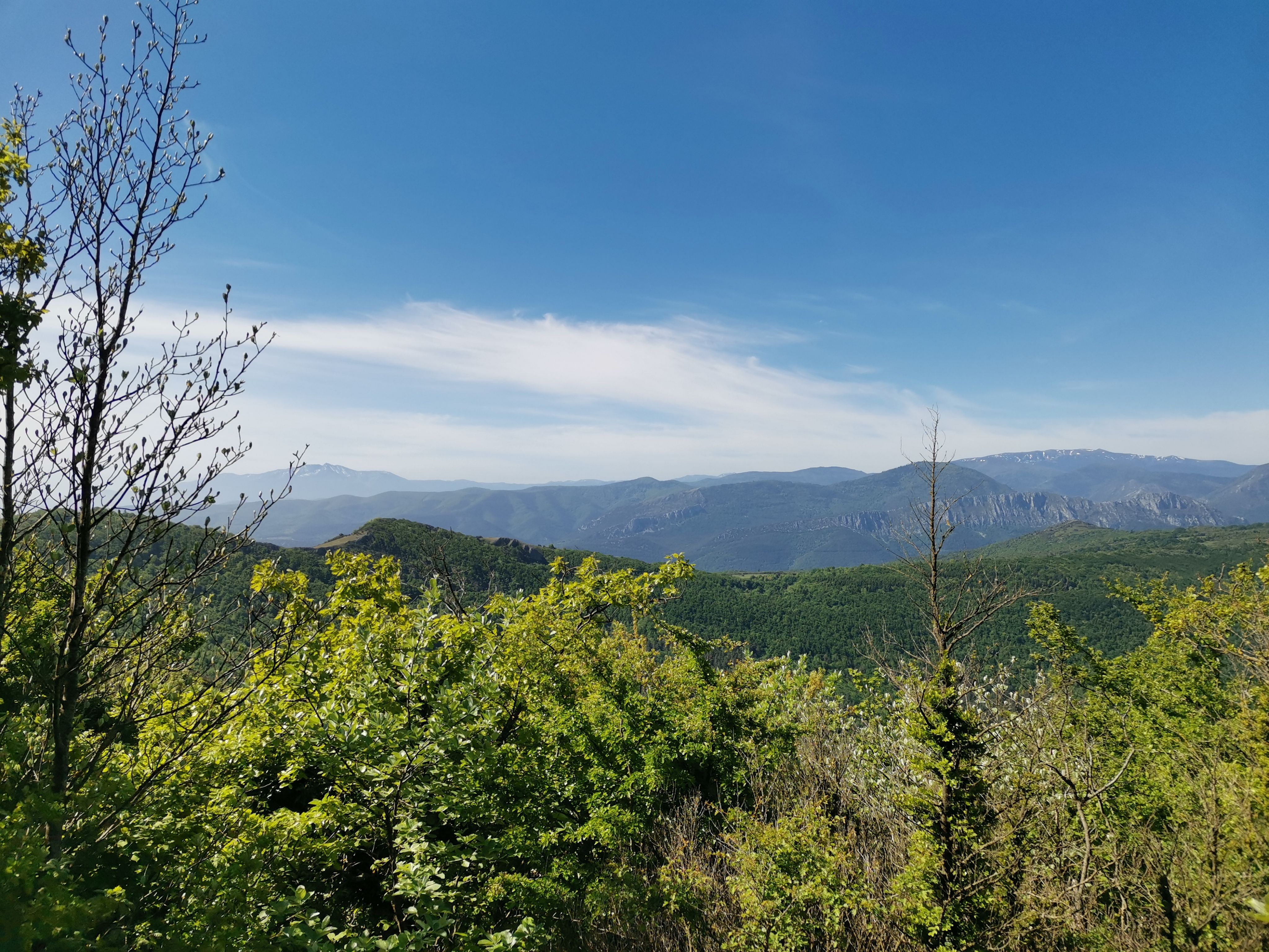
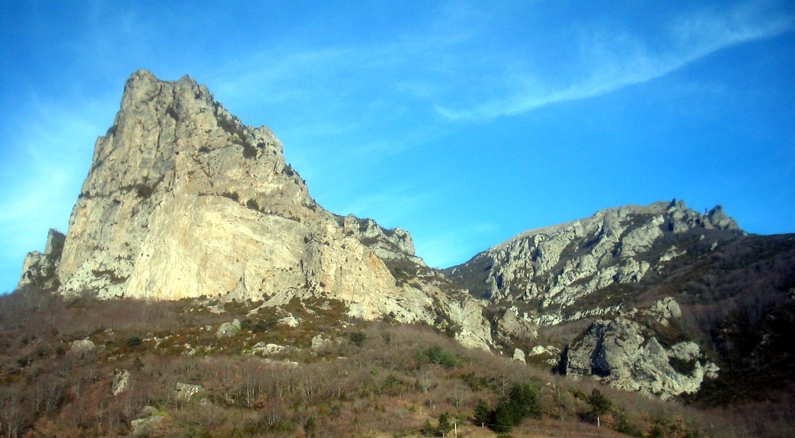
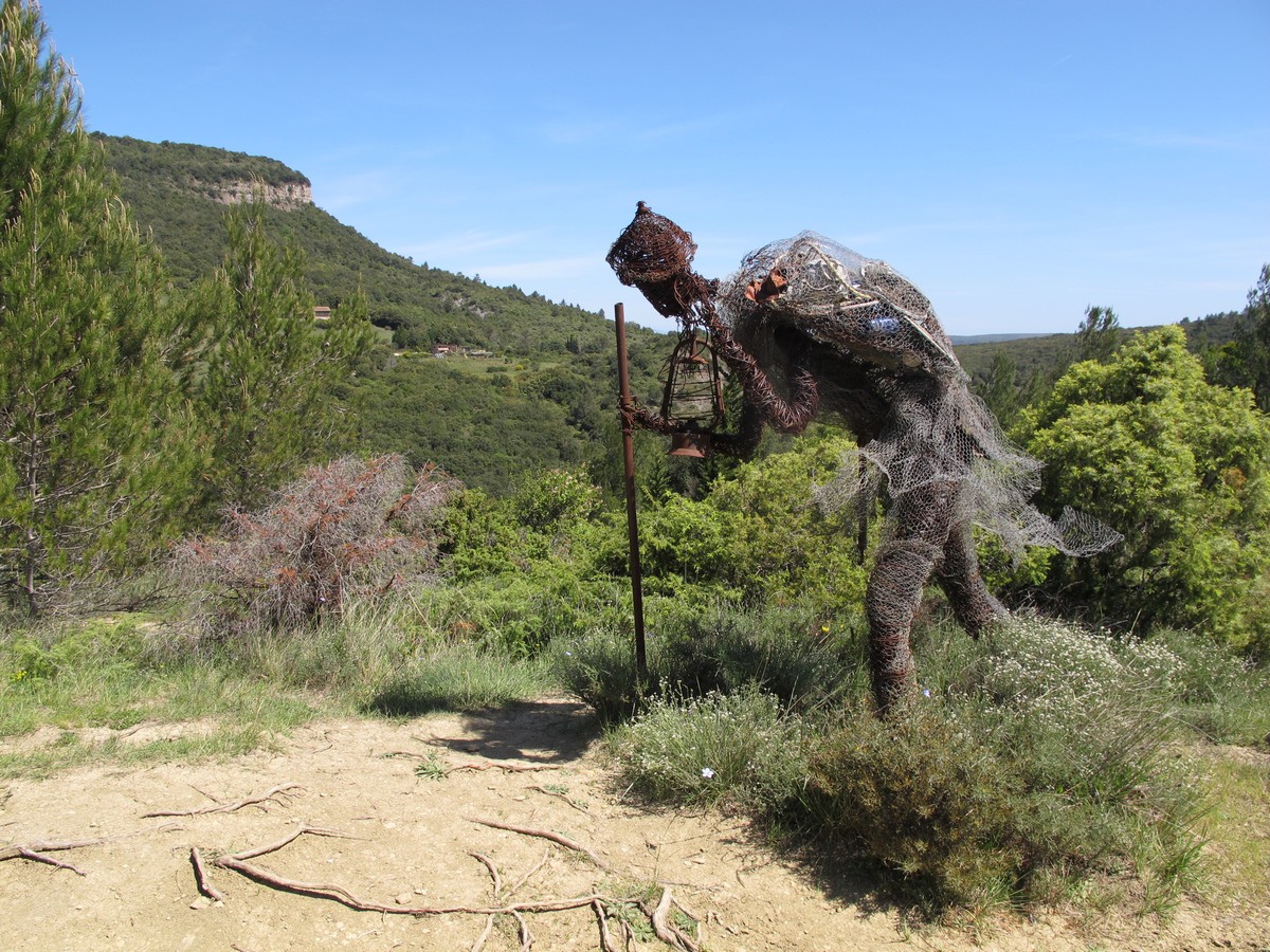
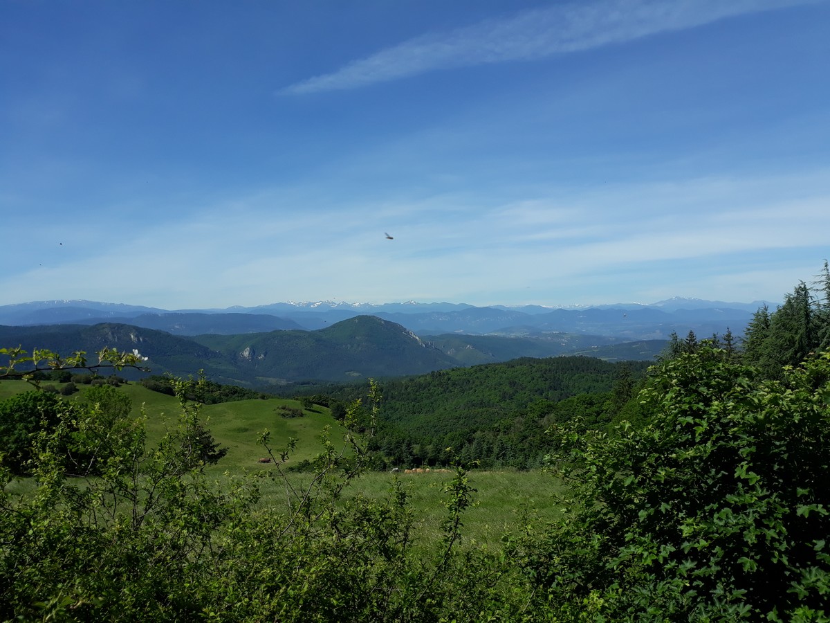
Departing from Valmigère, this marked hike makes a loop on the heights of the village. The paths are varied between forest and fields, and offer pretty views of the village and its surroundings.

Already more than 200,000 users!
Uphill
236m
Highest point
857m
Downhill
236m
Lowest point
647m
Route type
Loop
Download the map on your smartphone to save battery and rest assured to always keep access to the route, even without signal.
Includes IGN France and Swisstopo.
I indicate whether dogs are allowed or prohibited on this trail
All year
0 ratings
Also enjoy:

Already more than 200,000 users!