Uphill
396m
Length
10km
Duration
3h30min
Elev gain
396m
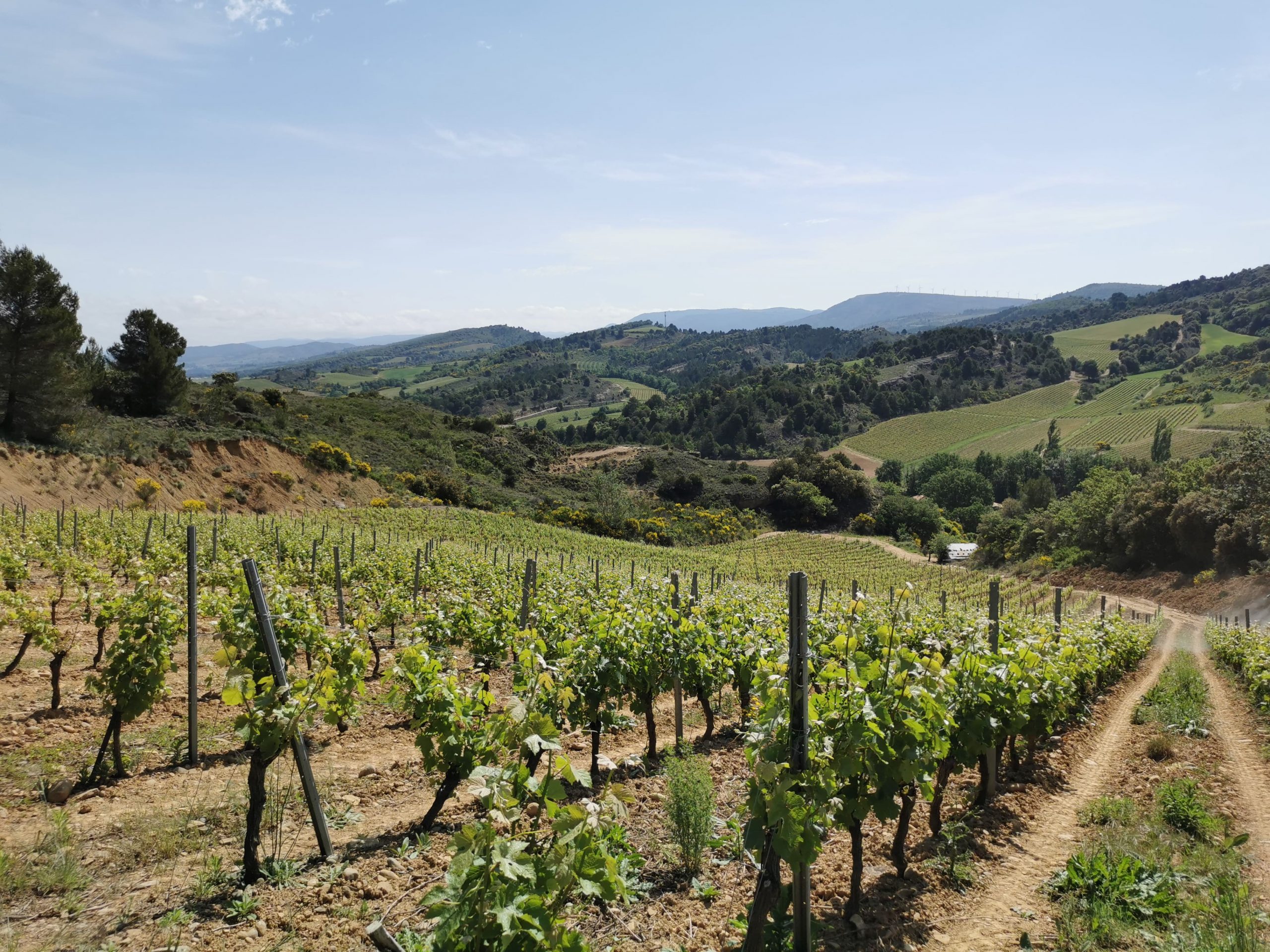
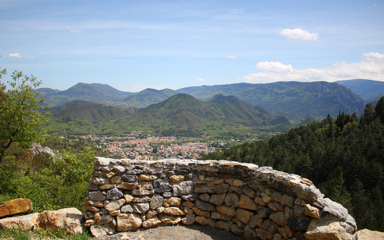
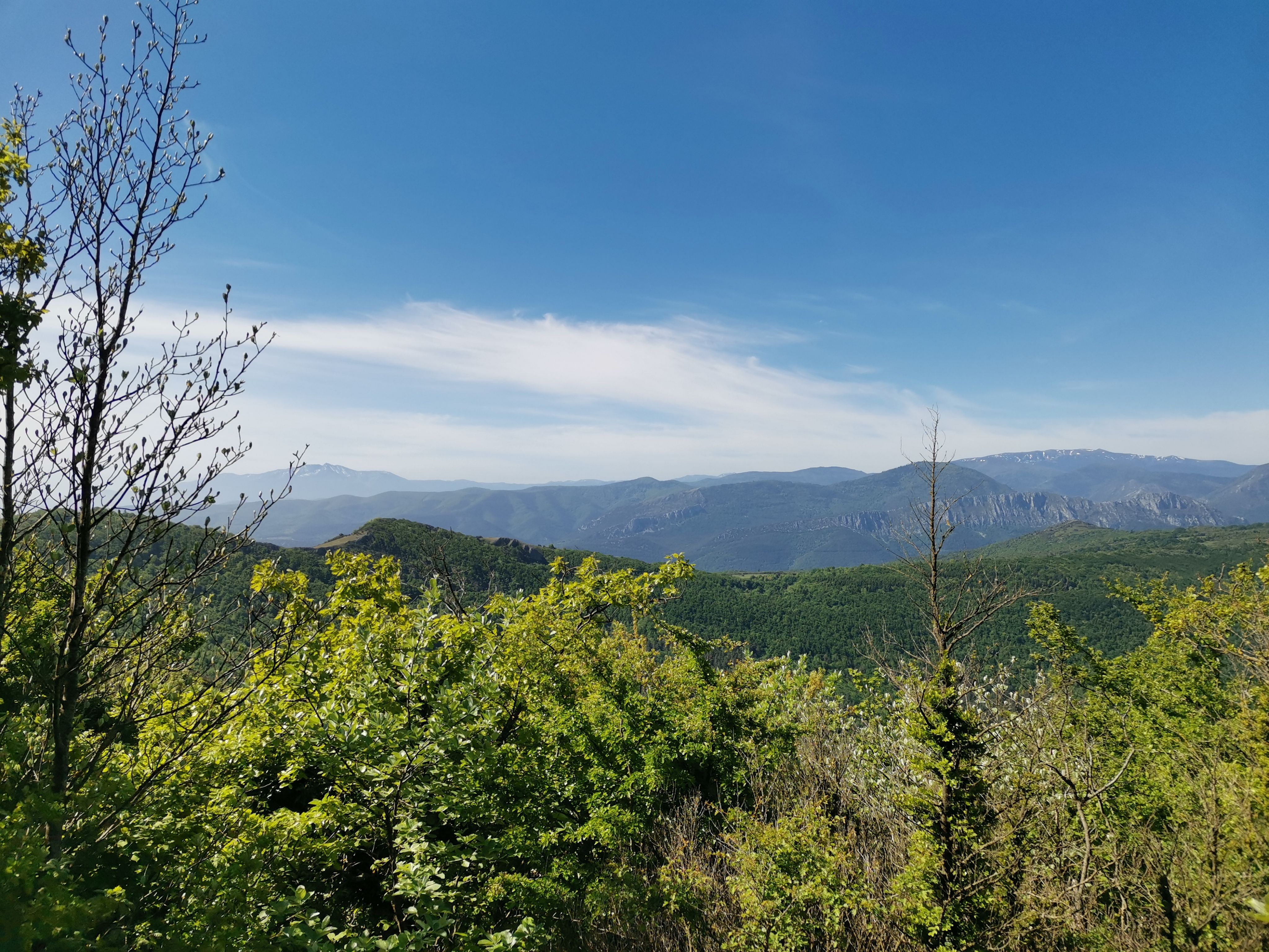
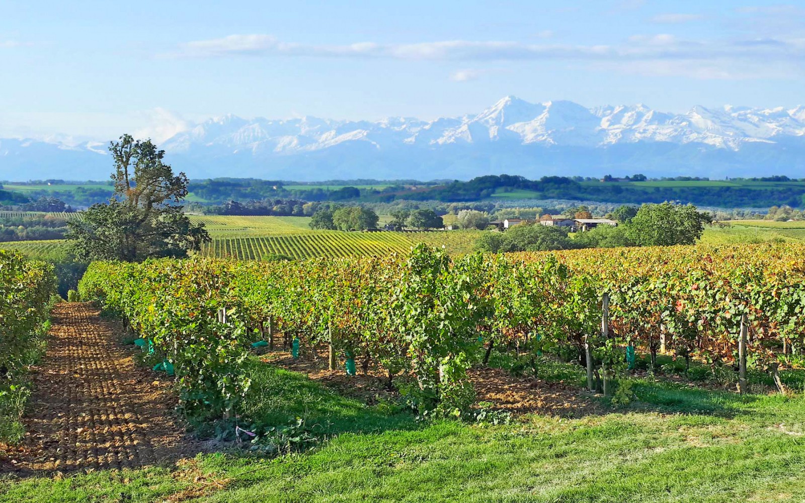
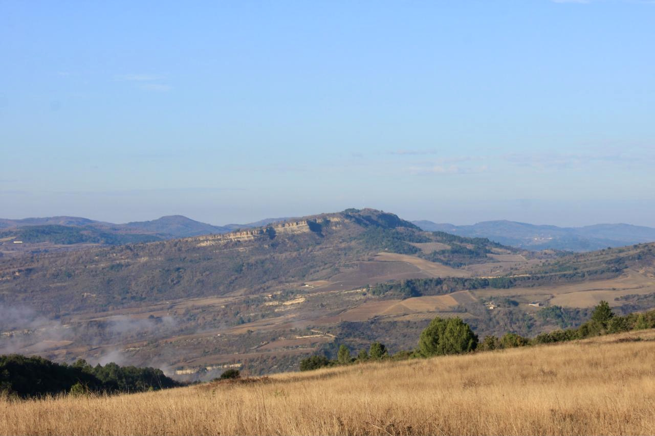
Ascent of the Pic de Brau, located 564 meters above sea level. After leaving Roquetaillade, the route takes a path dotted with wind turbines until you reach the peak. At the top, the view of the Pyrenees chain is fantastic. You then have to go back down to the starting point by a relatively narrow and slippery path, watch your ankles!

Already more than 200,000 users!
Uphill
396m
Highest point
644m
Downhill
396m
Lowest point
247m
Route type
Loop
Download the map on your smartphone to save battery and rest assured to always keep access to the route, even without signal.
Includes IGN France and Swisstopo.
0 ratings
Also enjoy:

Already more than 200,000 users!