Uphill
289m
Length
10km
Duration
3h
Elev gain
289m
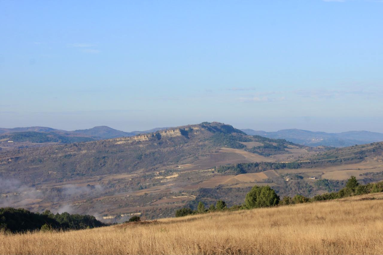
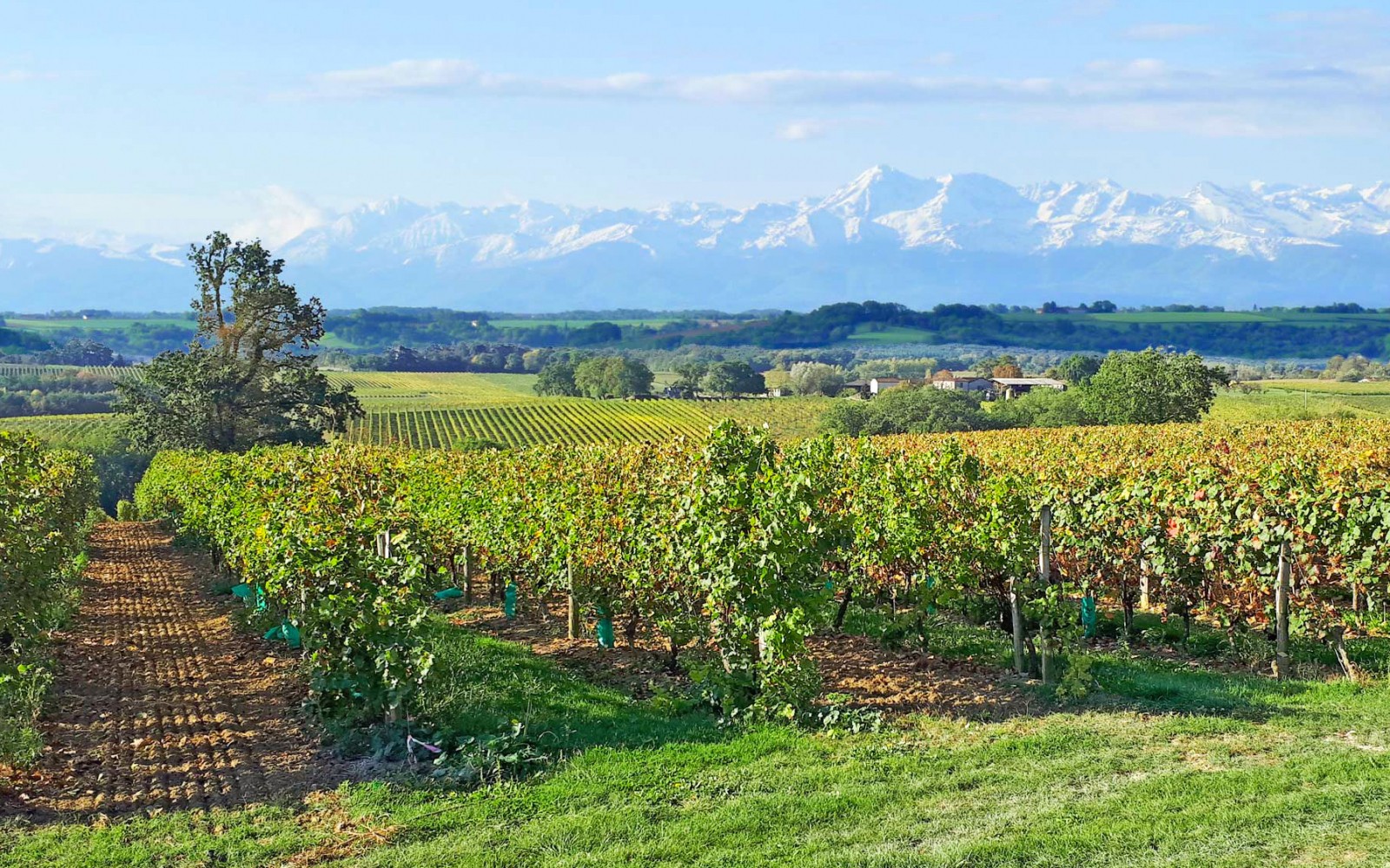
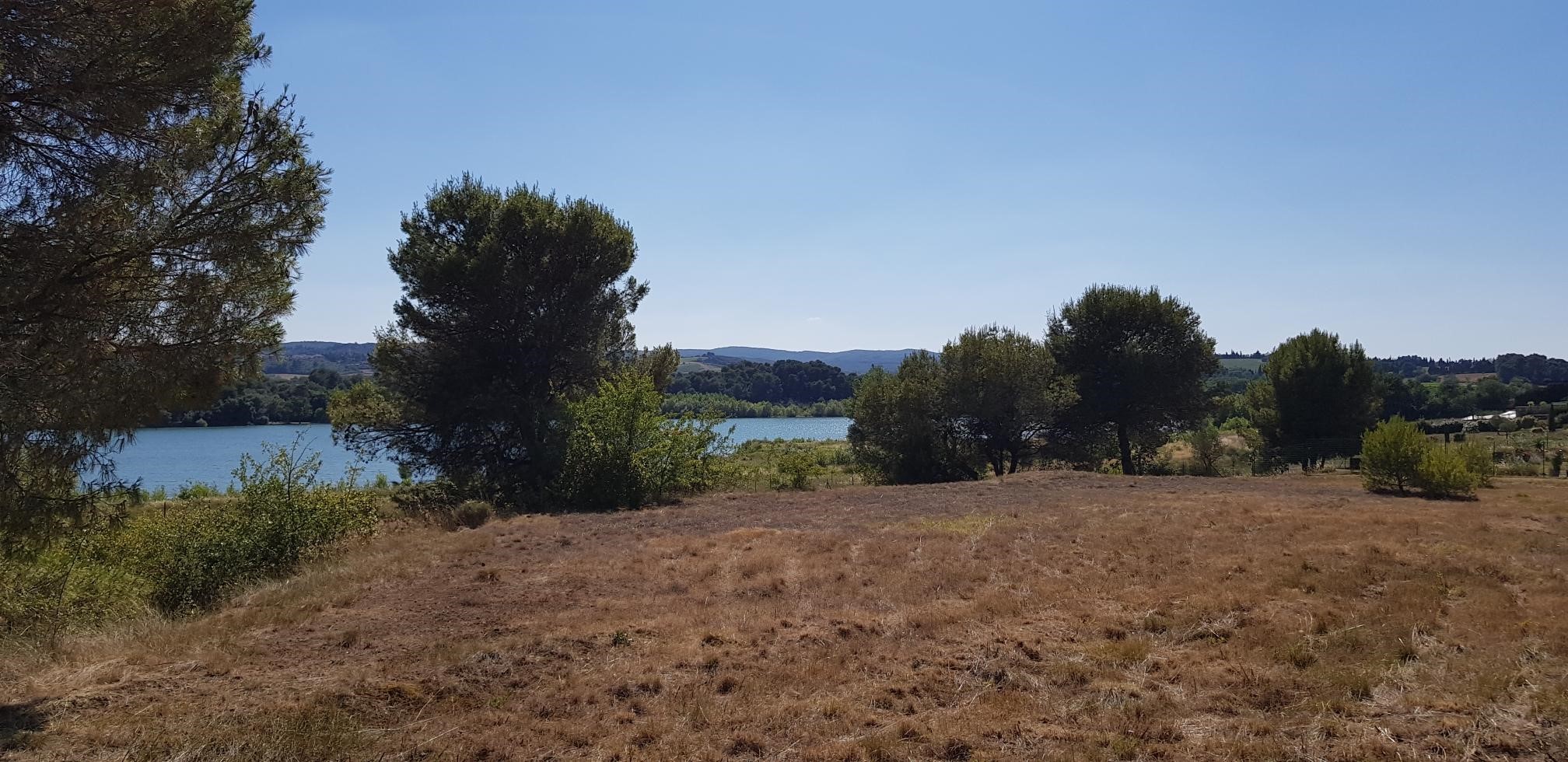
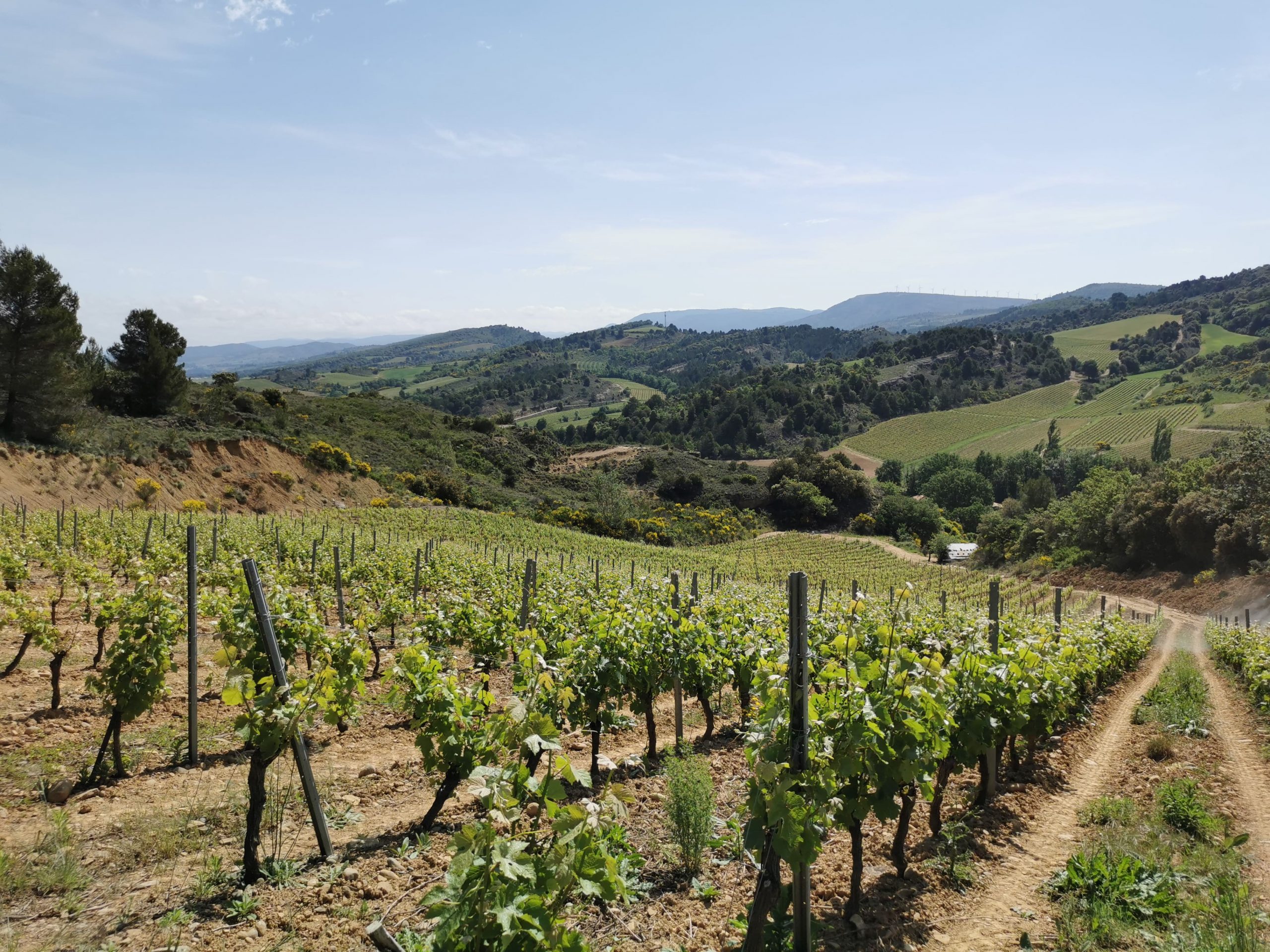
Departing from the Digne d'Amont, this hike makes a loop in idyllic landscapes. The trail passes through agricultural fields and vineyards then reaches the village of Castelreng halfway through, before returning to the direction of the starting point.

Already more than 200,000 users!
Uphill
289m
Highest point
397m
Downhill
289m
Lowest point
223m
Route type
Loop
Download the map on your smartphone to save battery and rest assured to always keep access to the route, even without signal.
Includes IGN France and Swisstopo.
0 ratings
Also enjoy:

Already more than 200,000 users!