Uphill
428m
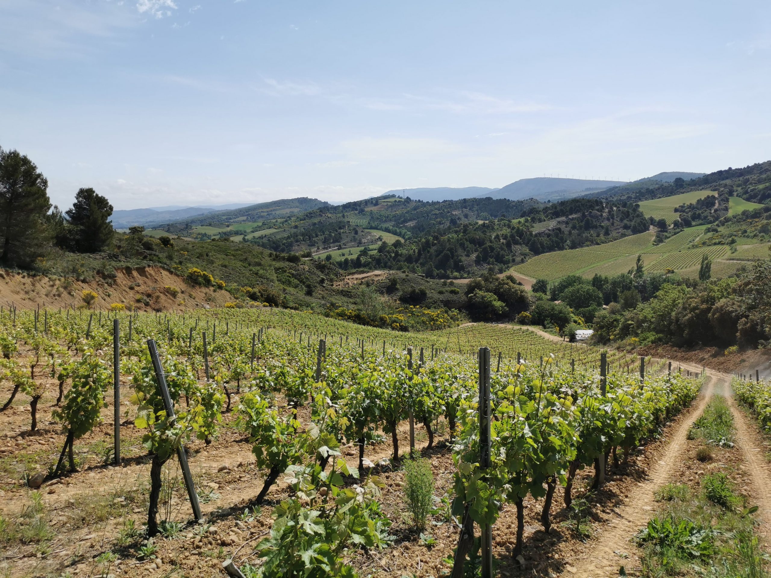
France > Occitanie > Aude > Corbières-Fenouillèdes Nature Park
Length
11km
Duration
4h
Elev gain
428m
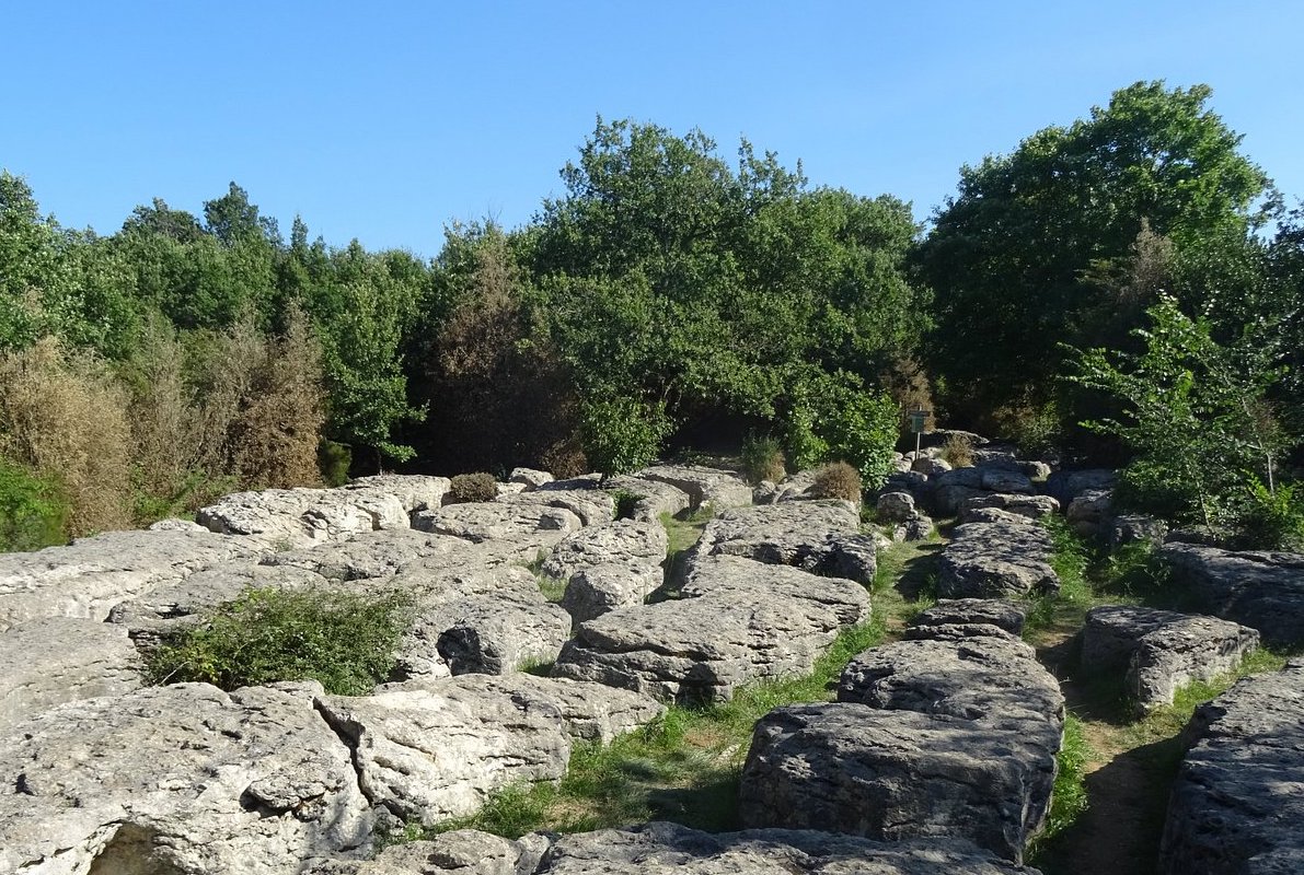
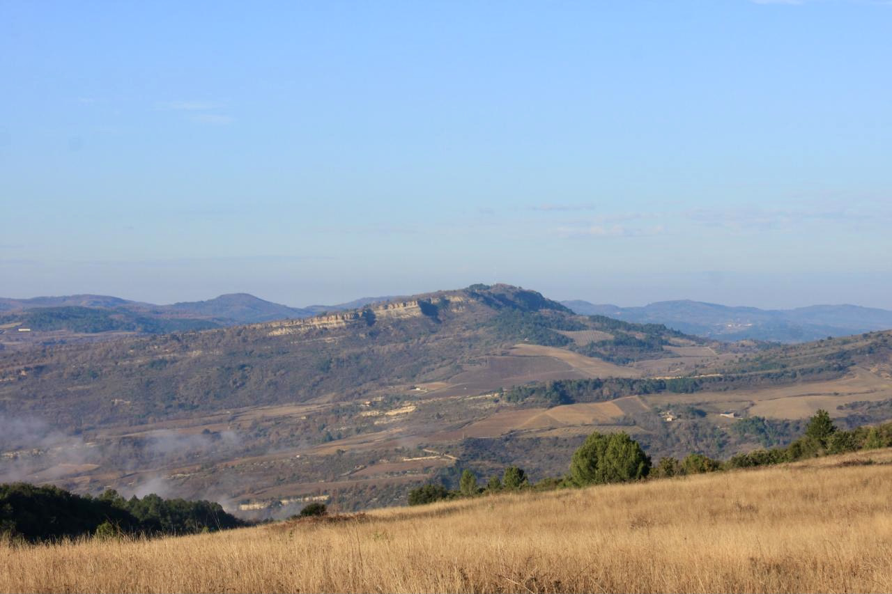
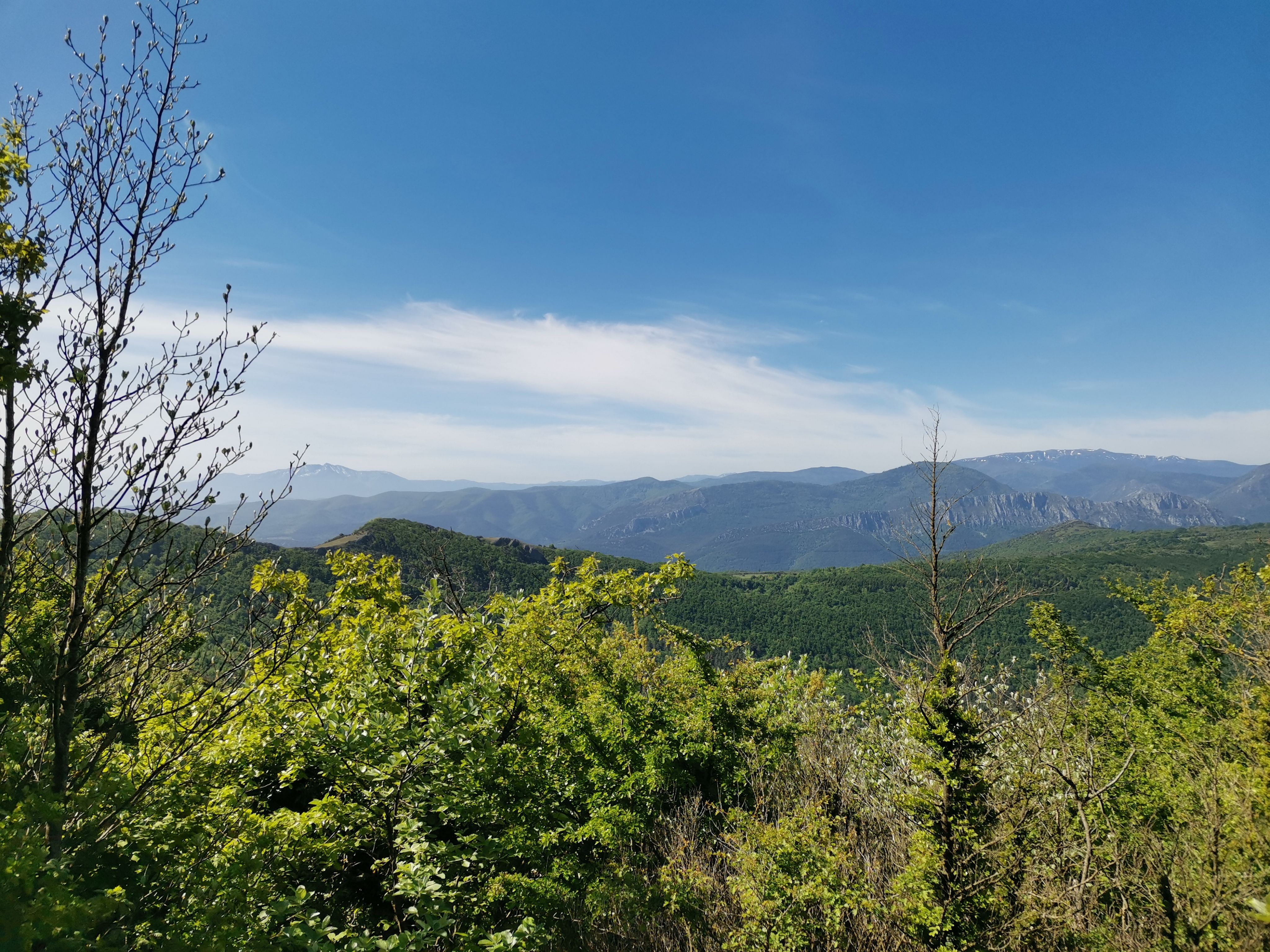
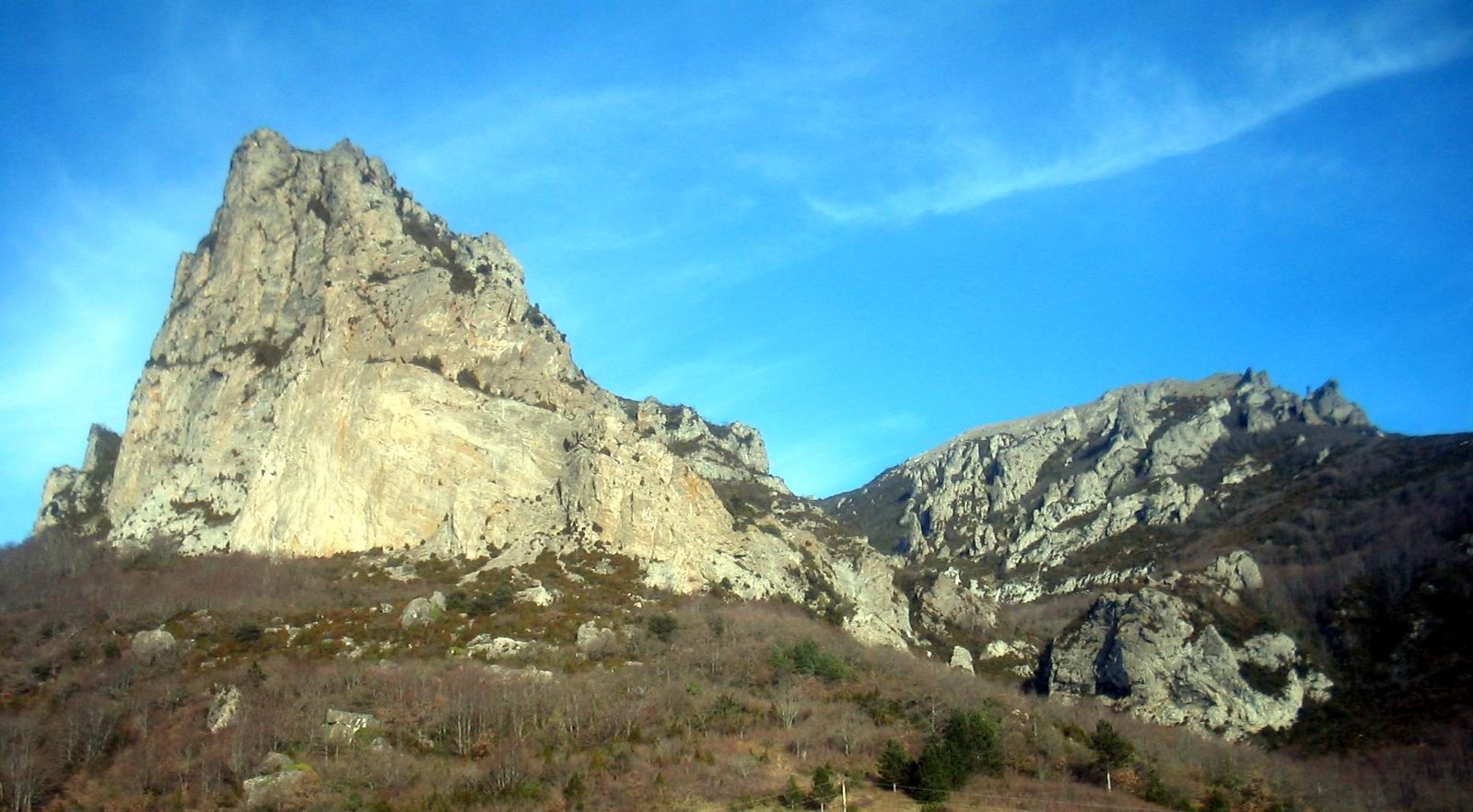
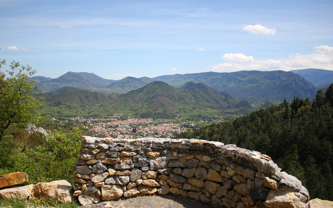
This sporty hike takes place on the heights of Quillan. It offers several viewpoints over the town from the Capio and Nez de l'Homme belvederes, as well as the Col du Portel.

Already more than 200,000 users!
Uphill
428m
Highest point
657m
Downhill
428m
Lowest point
284m
Route type
Loop
Download the map on your smartphone to save battery and rest assured to always keep access to the route, even without signal.
Includes IGN France and Swisstopo.
I indicate whether dogs are allowed or prohibited on this trail
All year
1 rating
Also enjoy:

Already more than 200,000 users!