Uphill
26m
France > Occitanie > Aude > Narbonnaise en Méditerranée Nature Park
Length
8km
Duration
2h
Elev gain
26m
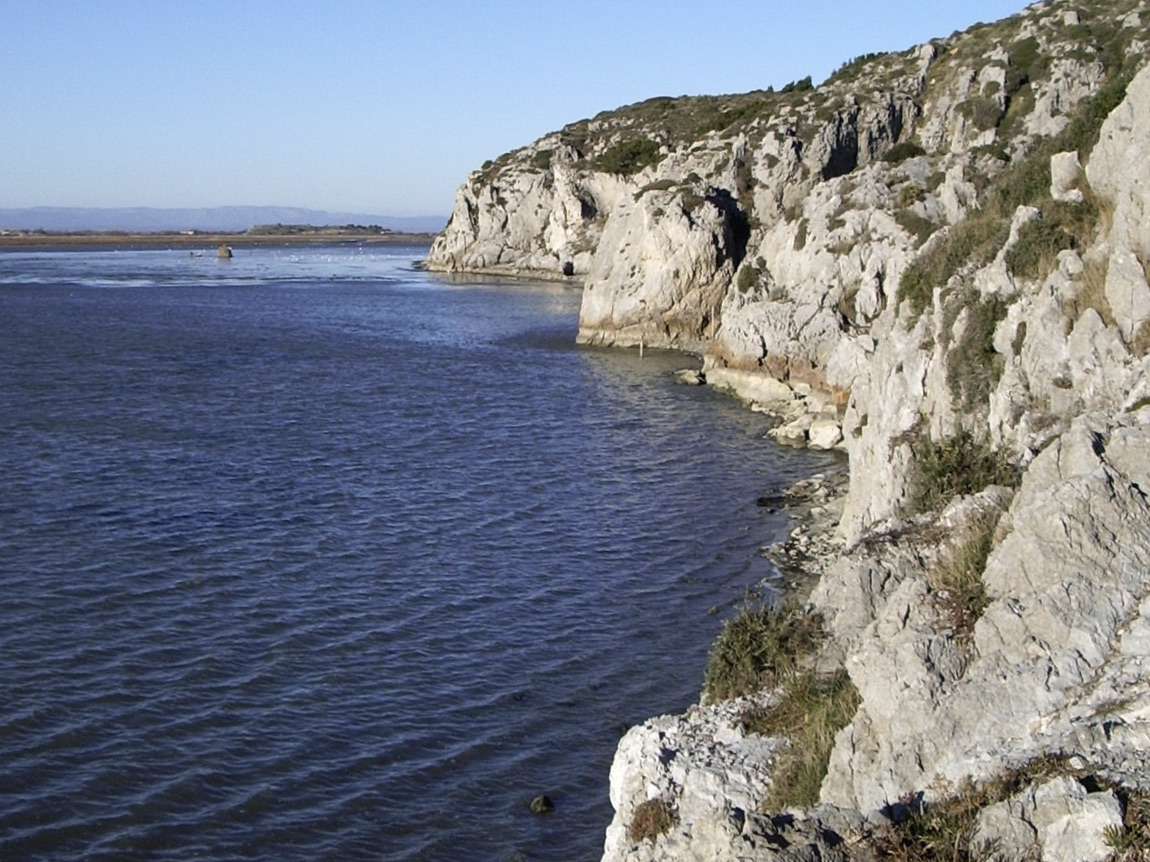
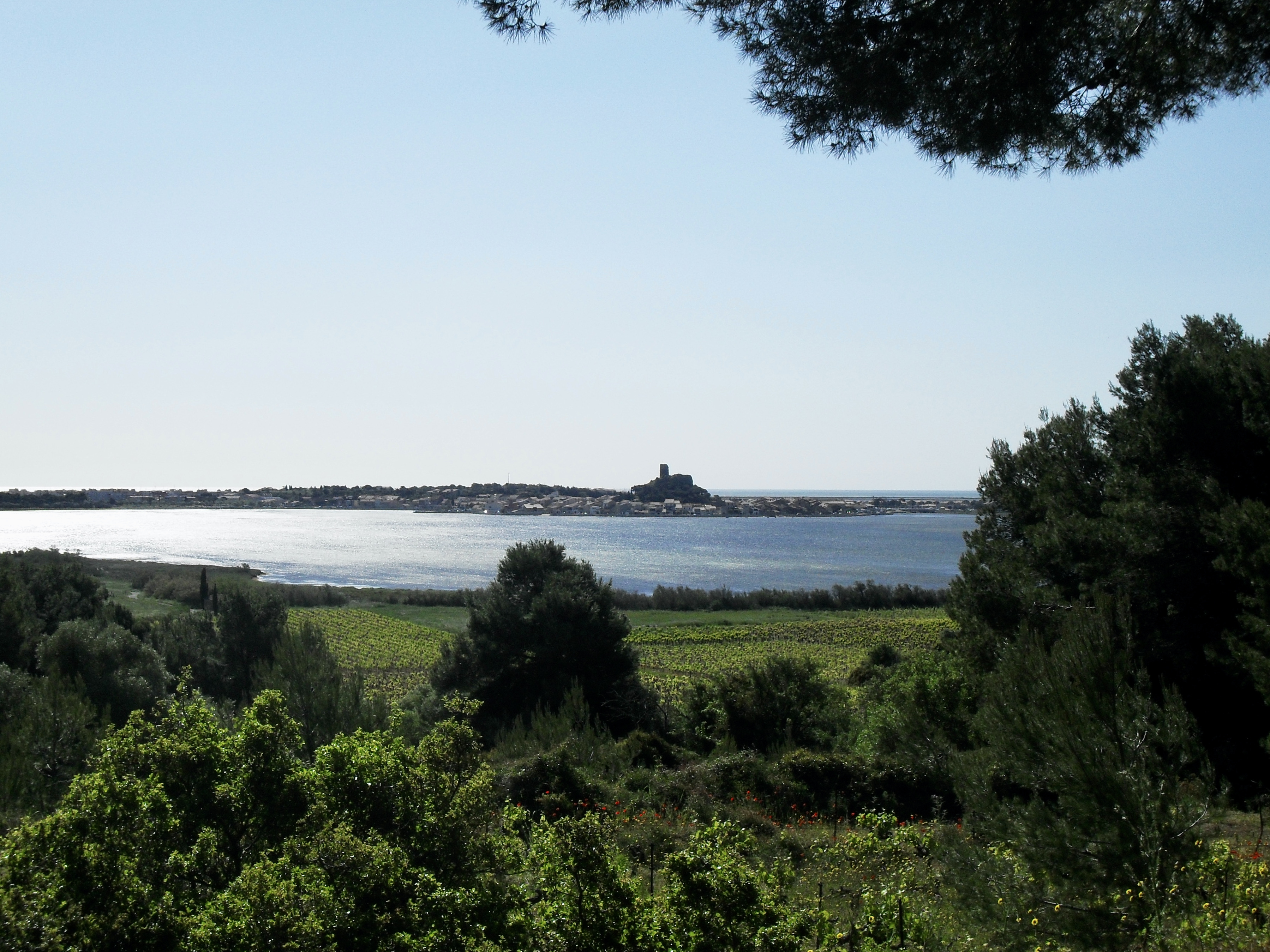
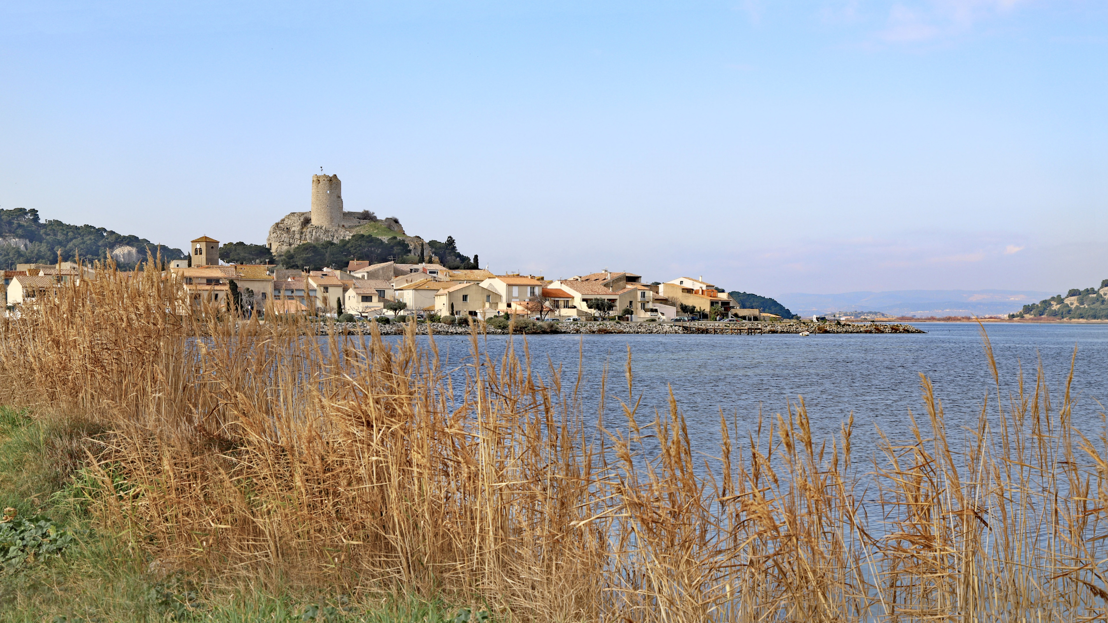
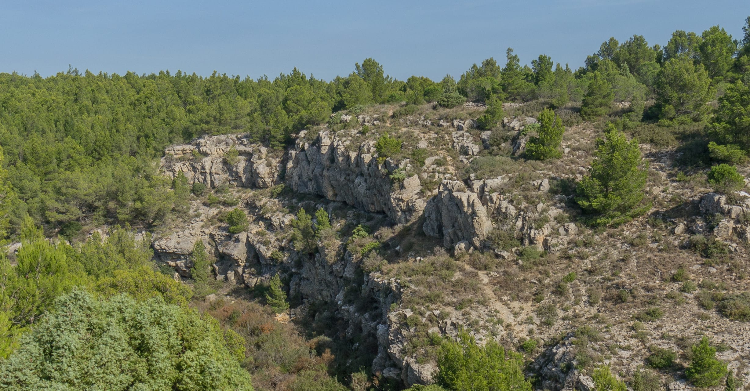
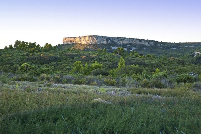
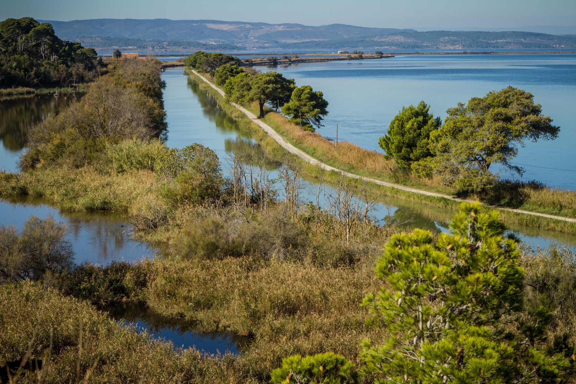
Departing from the salt flats of Saint Lucia, this walk makes a small loop in a humid environment. The path begins by following the Robine canal then passes by the lock house before reaching the Roc Saint-Antoine and the Vigie, two very beautiful viewpoints. The trail then returns to the starting point.

Already more than 200,000 users!
Uphill
26m
Highest point
30m
Downhill
26m
Lowest point
5m
Route type
Loop
Download the map on your smartphone to save battery and rest assured to always keep access to the route, even without signal.
Includes IGN France and Swisstopo.
I indicate whether dogs are allowed or prohibited on this trail
All year
2 ratings
Très bonne rando, un peu courte à mon goût. Possibilité de rallonger mais en quittant le sentier..
Sinon très bonne vue !🤩
Also enjoy:

Already more than 200,000 users!