Uphill
136m
France > Occitanie > Aude > Narbonnaise en Méditerranée Nature Park
Length
6km
Duration
2h
Elev gain
136m
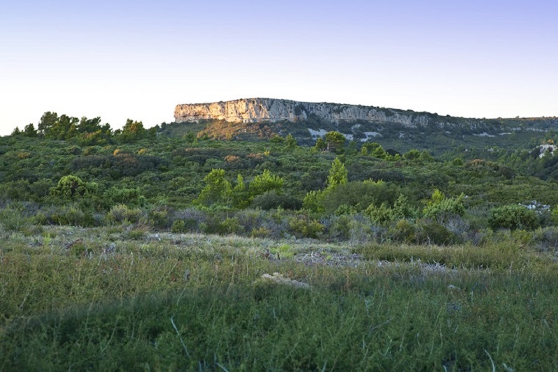
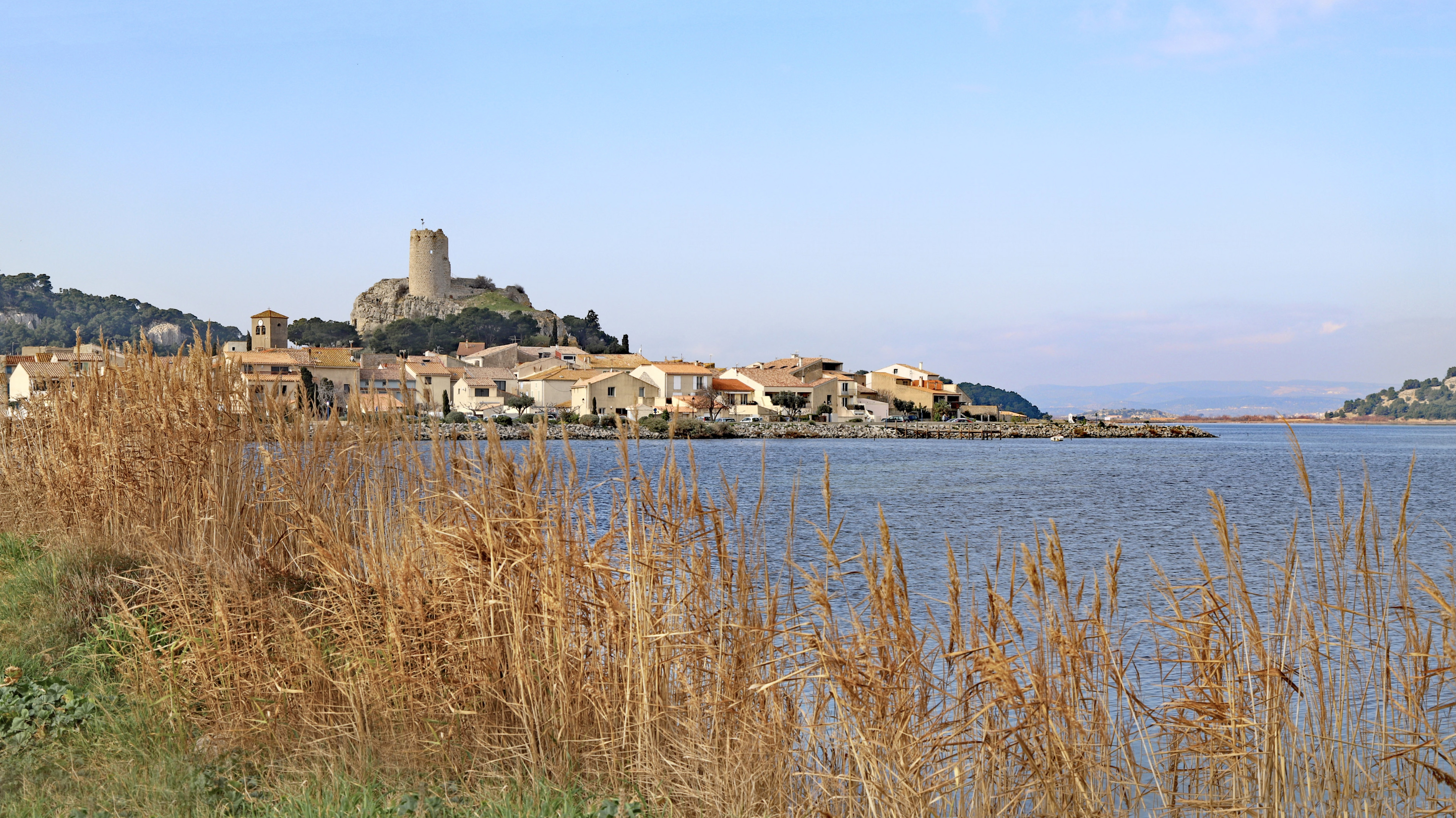
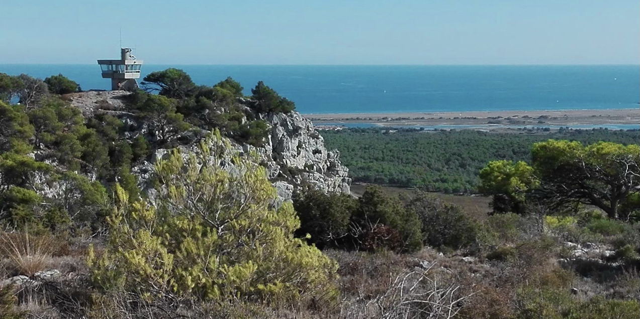
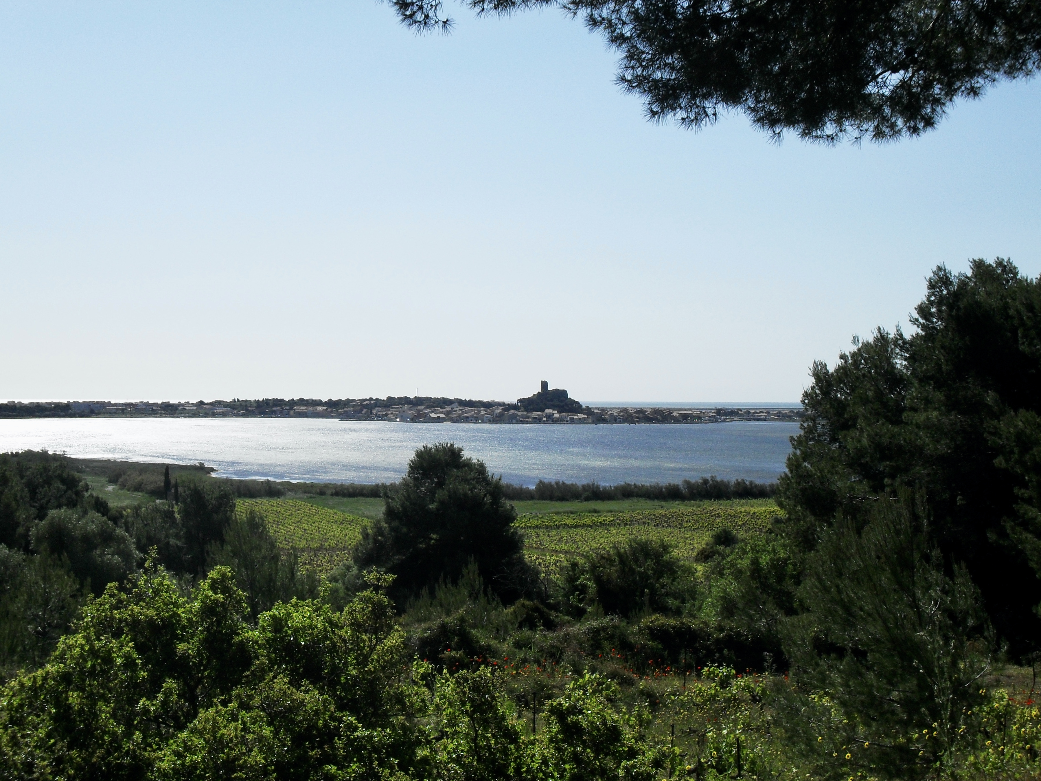
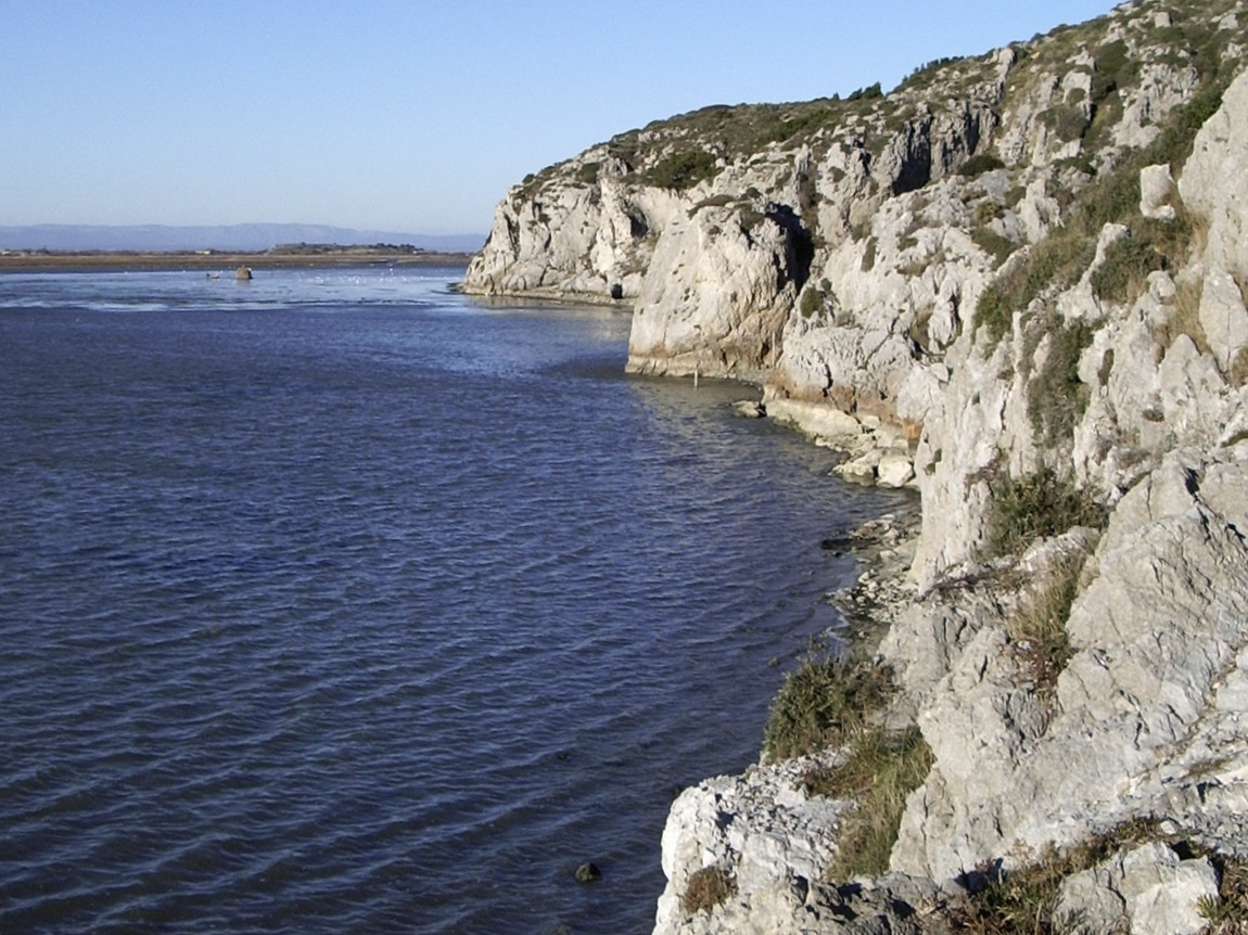
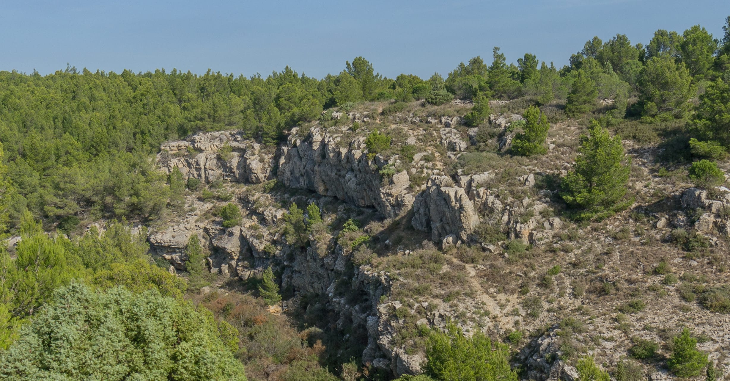
This route makes a loop on the heights of Tintaine, mainly in the forest, and offers lovely views of the Mediterranean Sea.

Already more than 200,000 users!
Uphill
136m
Highest point
66m
Downhill
136m
Lowest point
5m
Route type
Loop
Download the map on your smartphone to save battery and rest assured to always keep access to the route, even without signal.
Includes IGN France and Swisstopo.
I indicate whether dogs are allowed or prohibited on this trail
All year
2 ratings
Also enjoy:

Already more than 200,000 users!