Uphill
292m
Length
12km
Duration
4h
Elev gain
292m
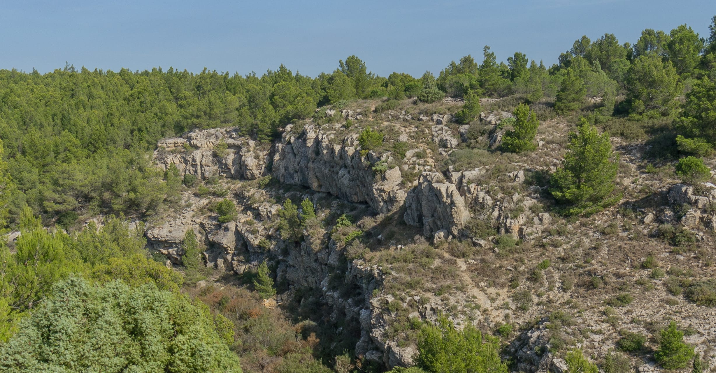
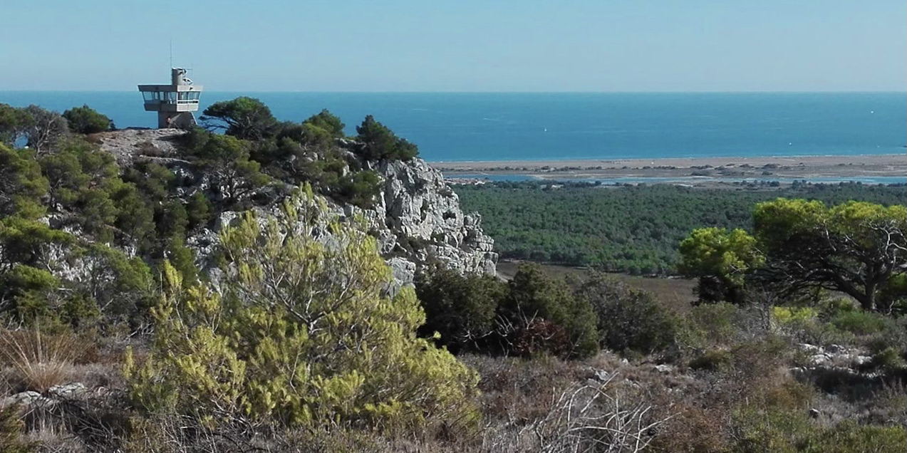
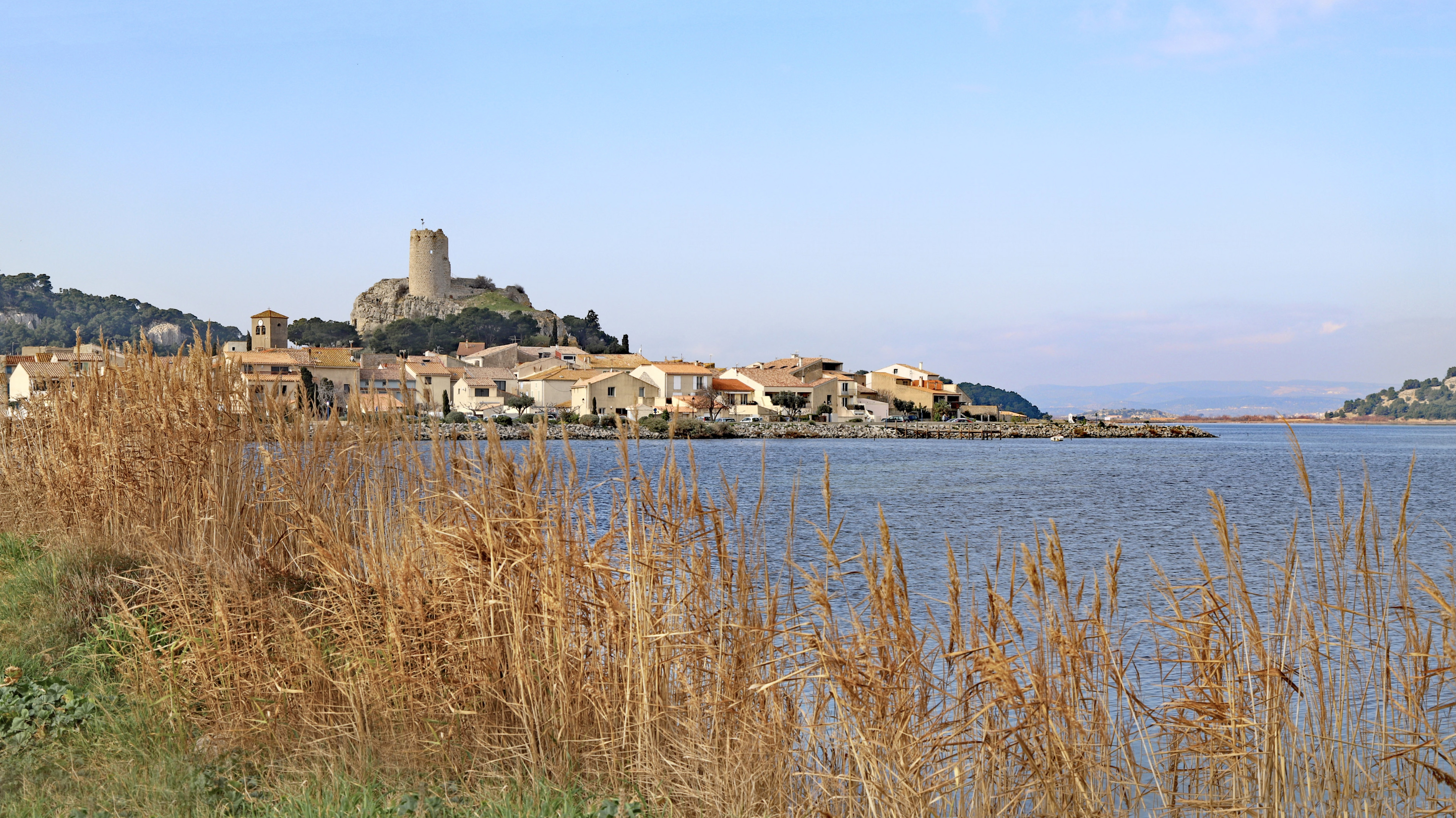
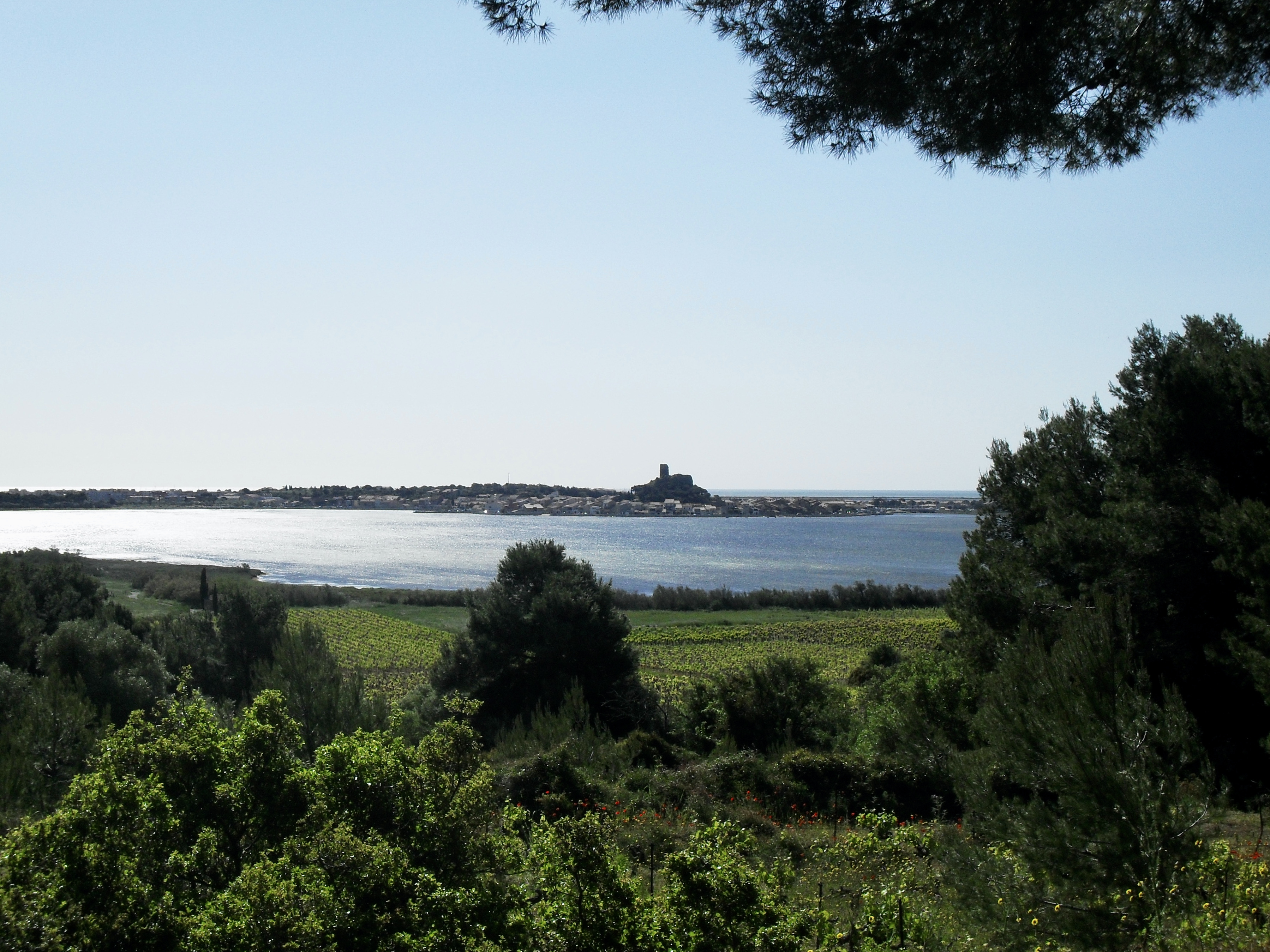
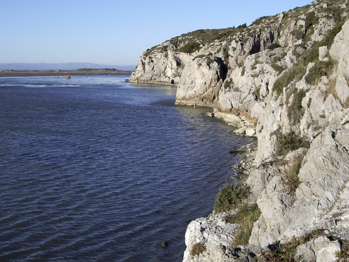
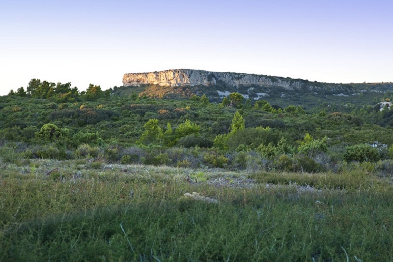
Varied hike within a limestone massif, between Mediterranean vegetation and vineyards. Many views of the sea.

Already more than 200,000 users!
Uphill
292m
Highest point
194m
Downhill
292m
Lowest point
45m
Route type
Loop
Download the map on your smartphone to save battery and rest assured to always keep access to the route, even without signal.
Includes IGN France and Swisstopo.
I indicate whether dogs are allowed or prohibited on this trail
All year
0 ratings
Also enjoy:

Already more than 200,000 users!