Uphill
0m
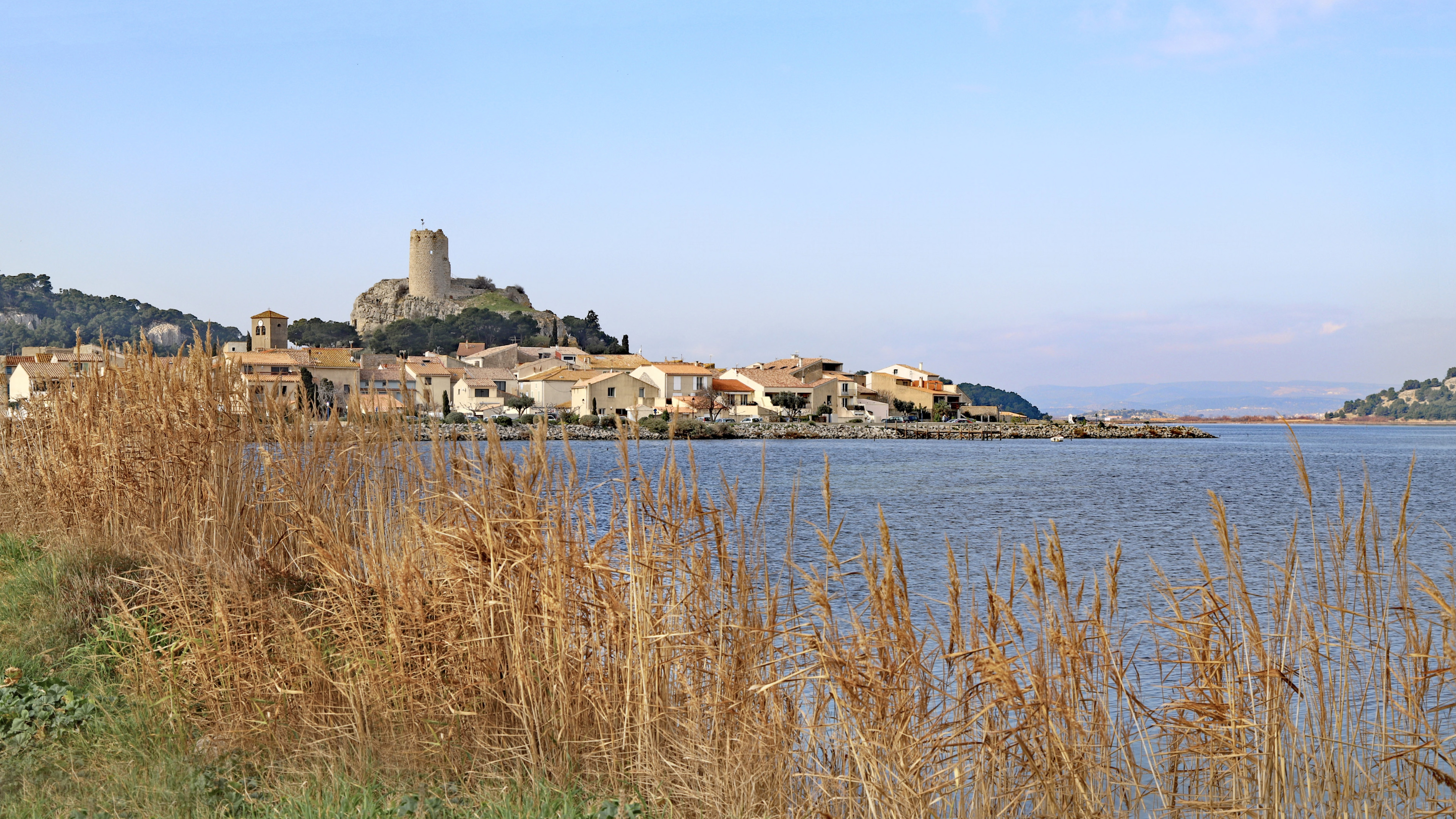
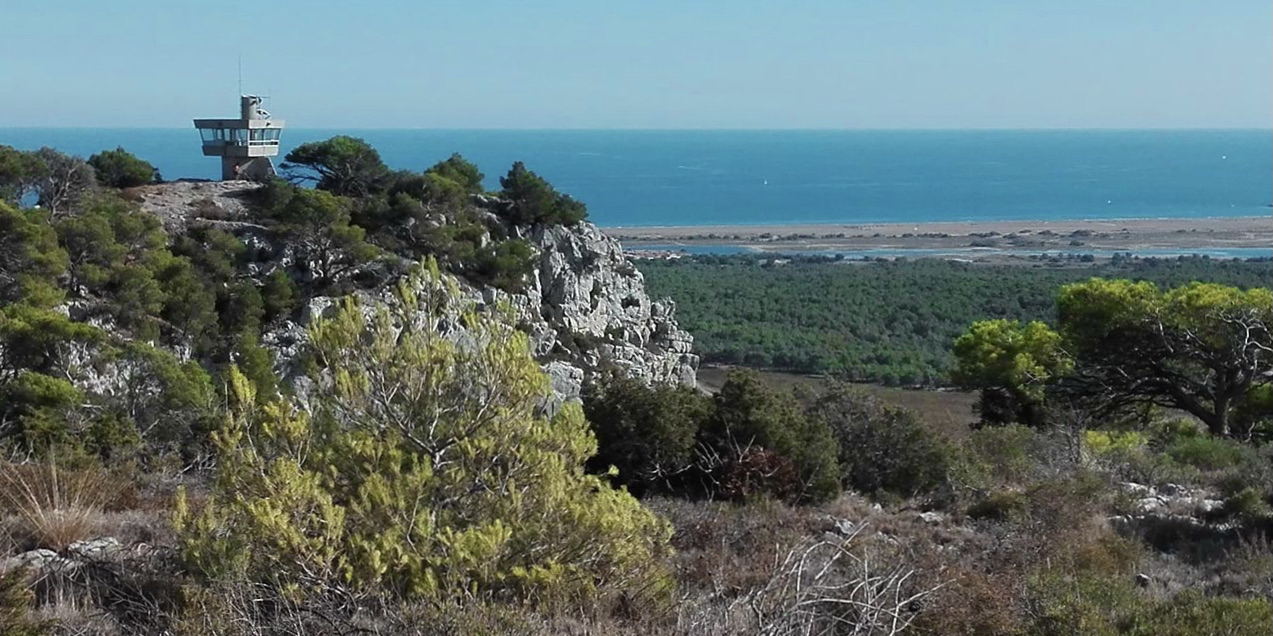
France > Occitanie > Aude > Narbonnaise en Méditerranée Nature Park
Length
6km
Duration
1h30min
Elev gain
0m
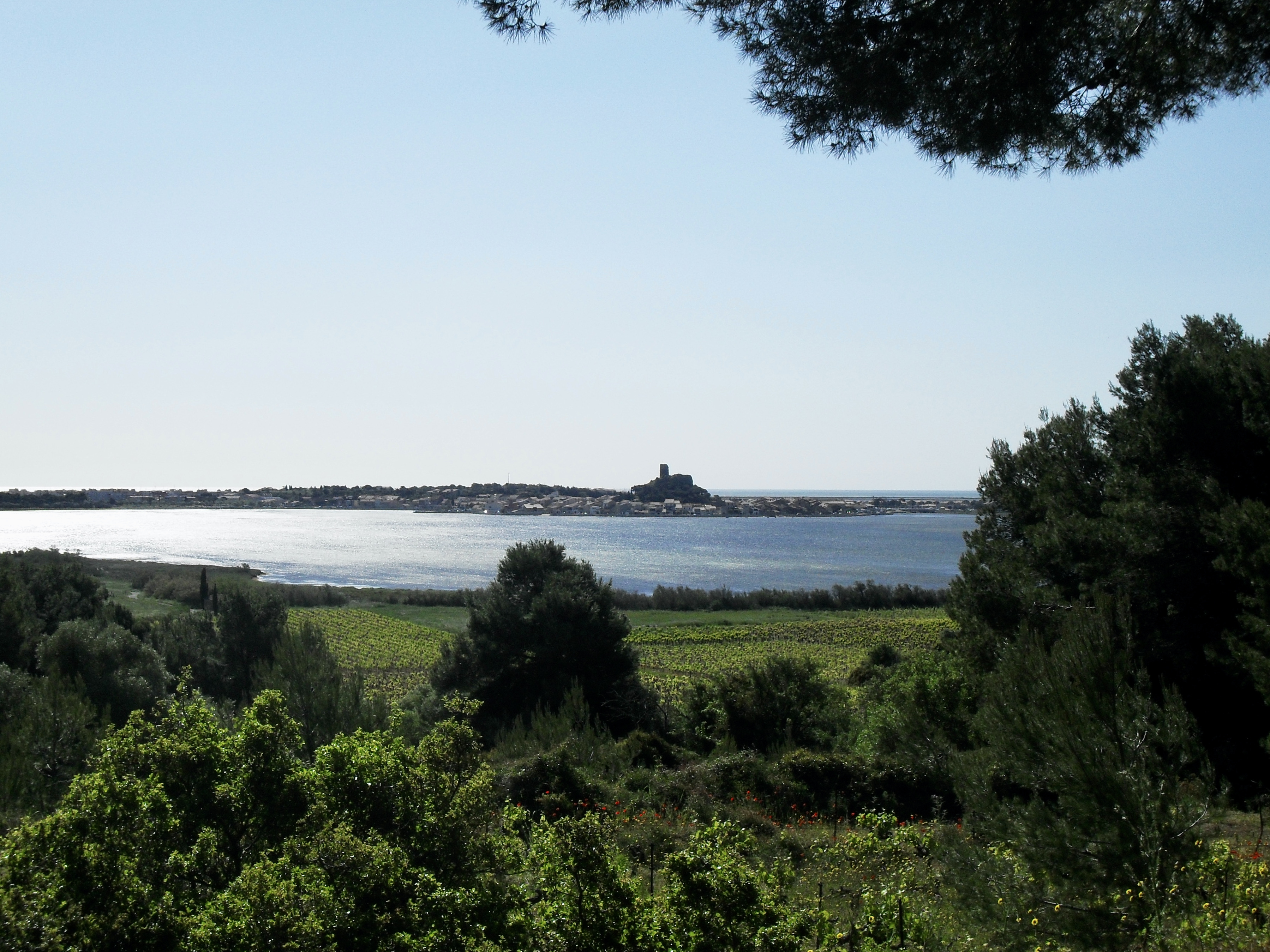
Family-friendly walk around the pond of Gruissan, and offering lovely views of the town of Gruissan and its Barbarossa tower. A circuit between nature and heritage.

Already more than 200,000 users!
Uphill
0m
Highest point
12m
Downhill
0m
Lowest point
4m
Route type
Loop
Download the map on your smartphone to save battery and rest assured to always keep access to the route, even without signal.
Includes IGN France and Swisstopo.
I indicate whether dogs are allowed or prohibited on this trail
All year
2 ratings
Also enjoy:

Already more than 200,000 users!