Uphill
360m
Length
11km
Duration
3h30min
Elev gain
360m
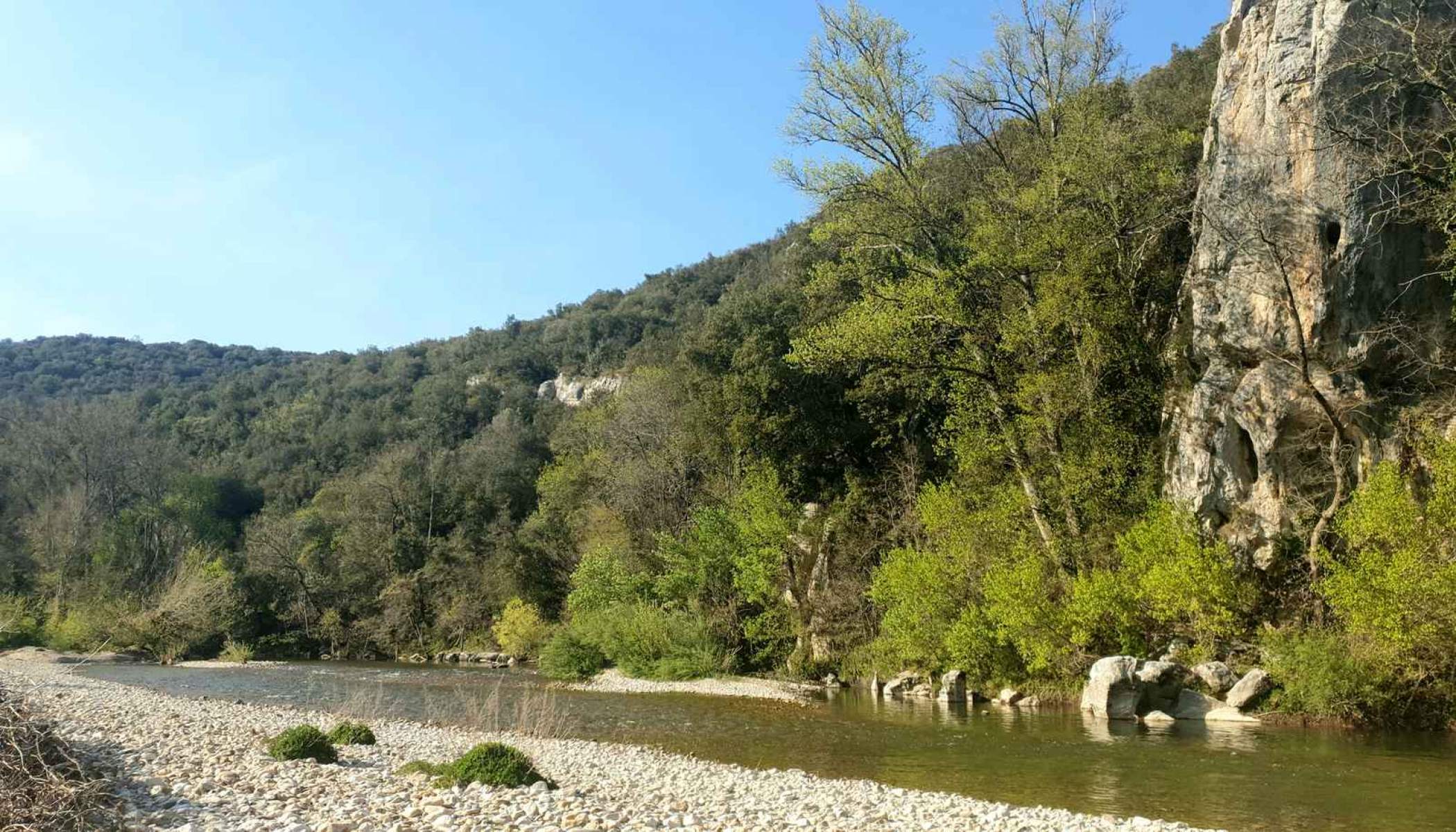
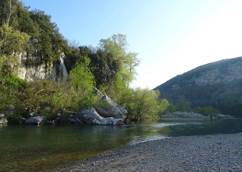
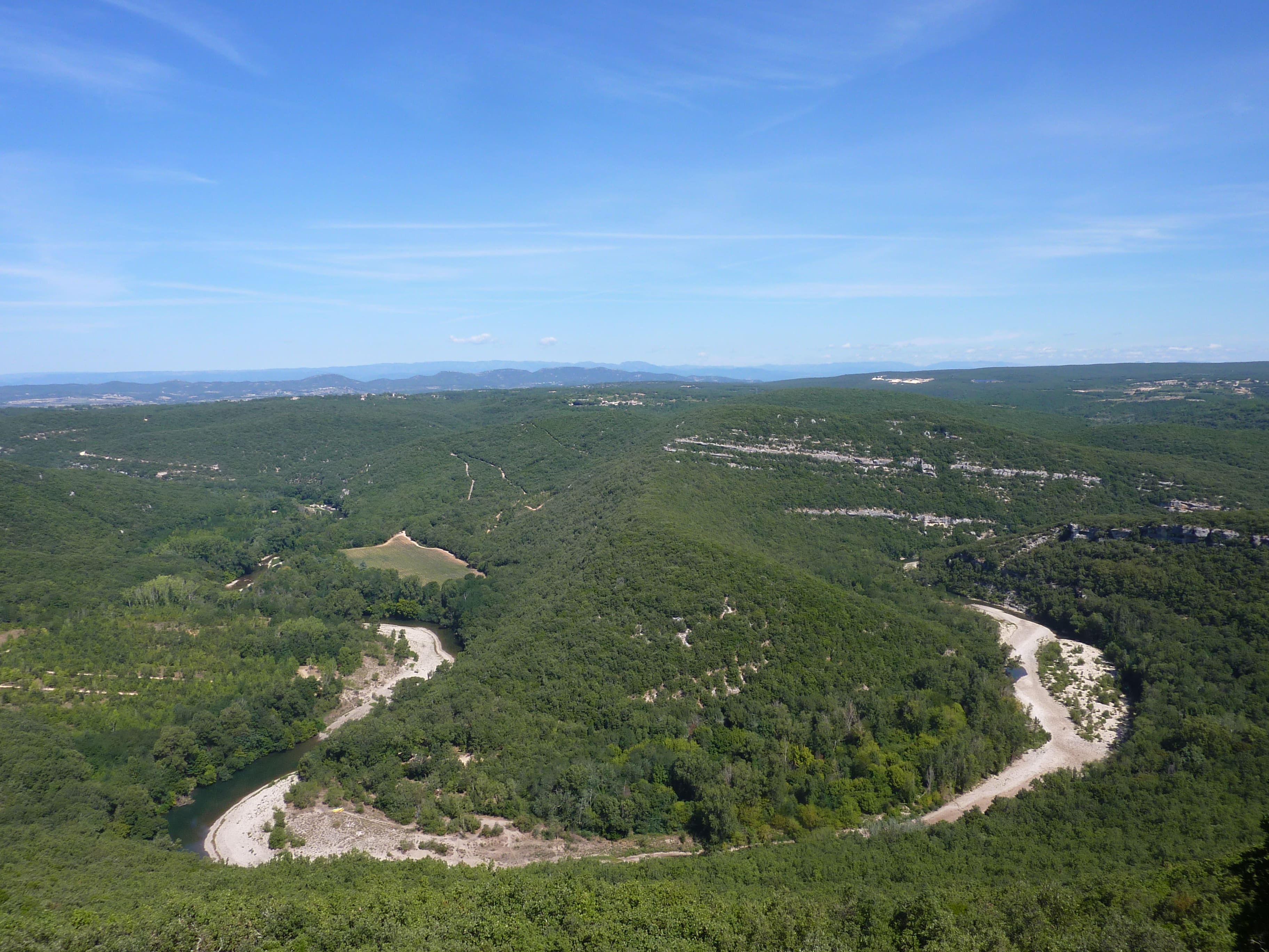
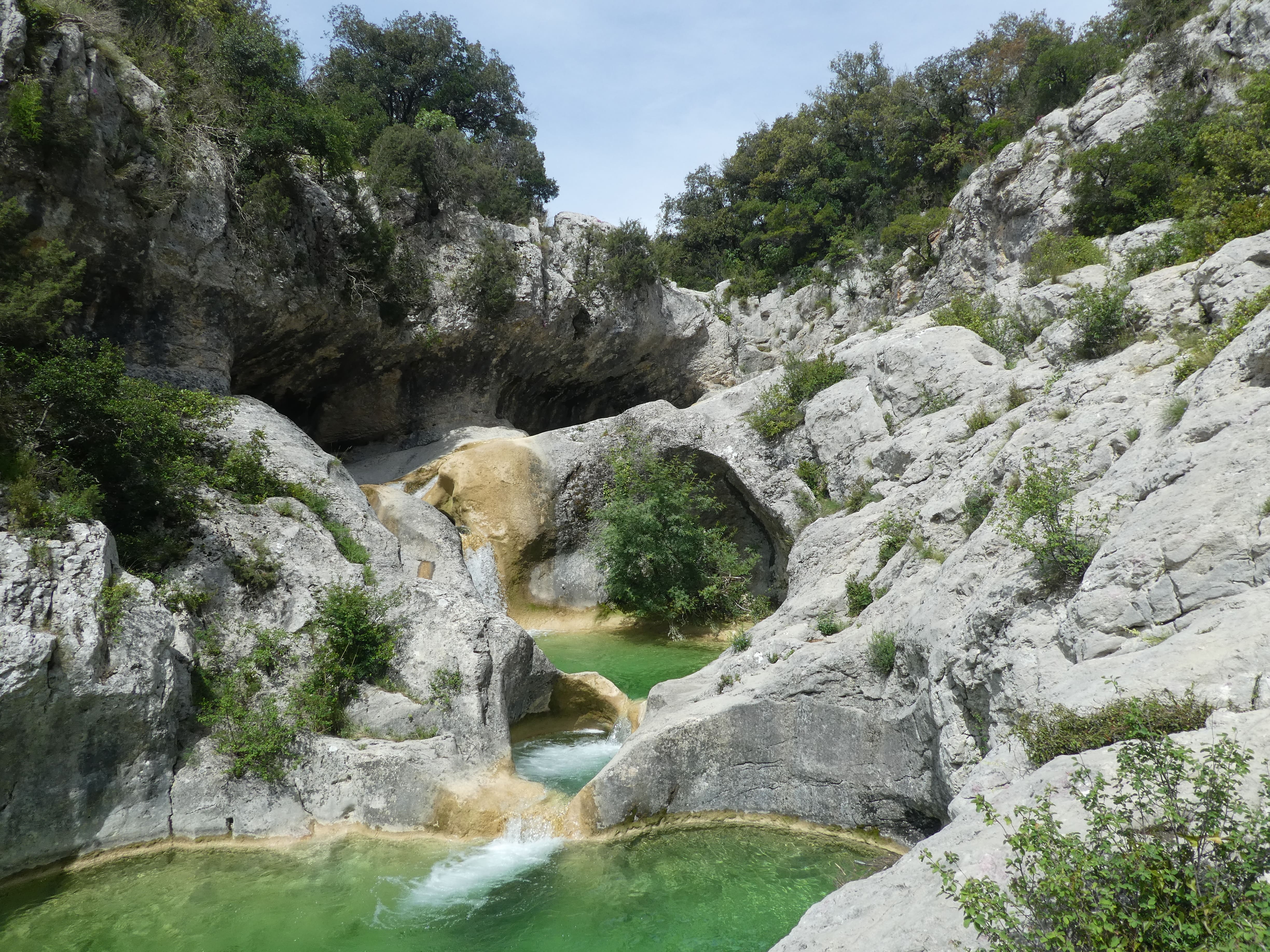
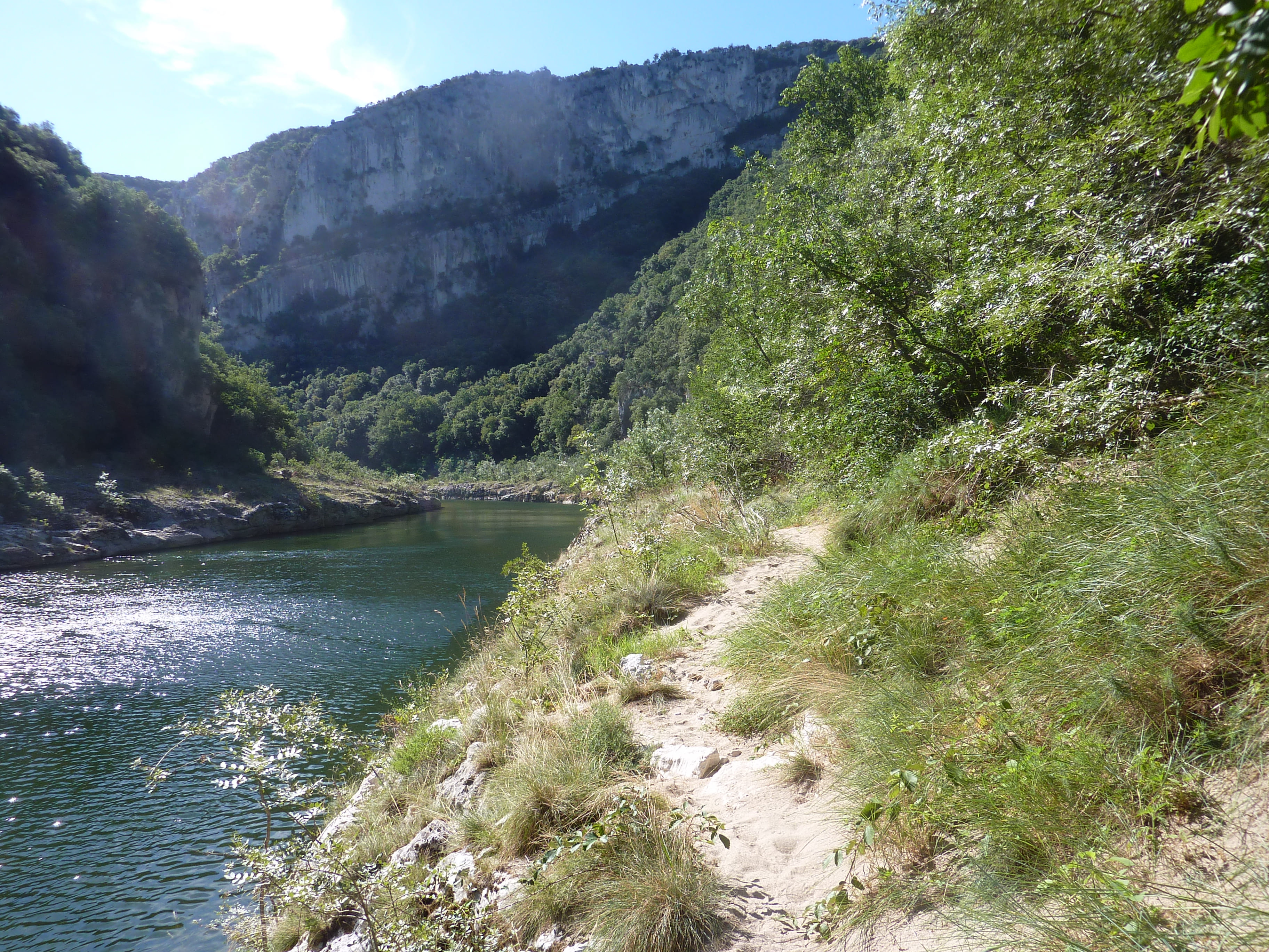
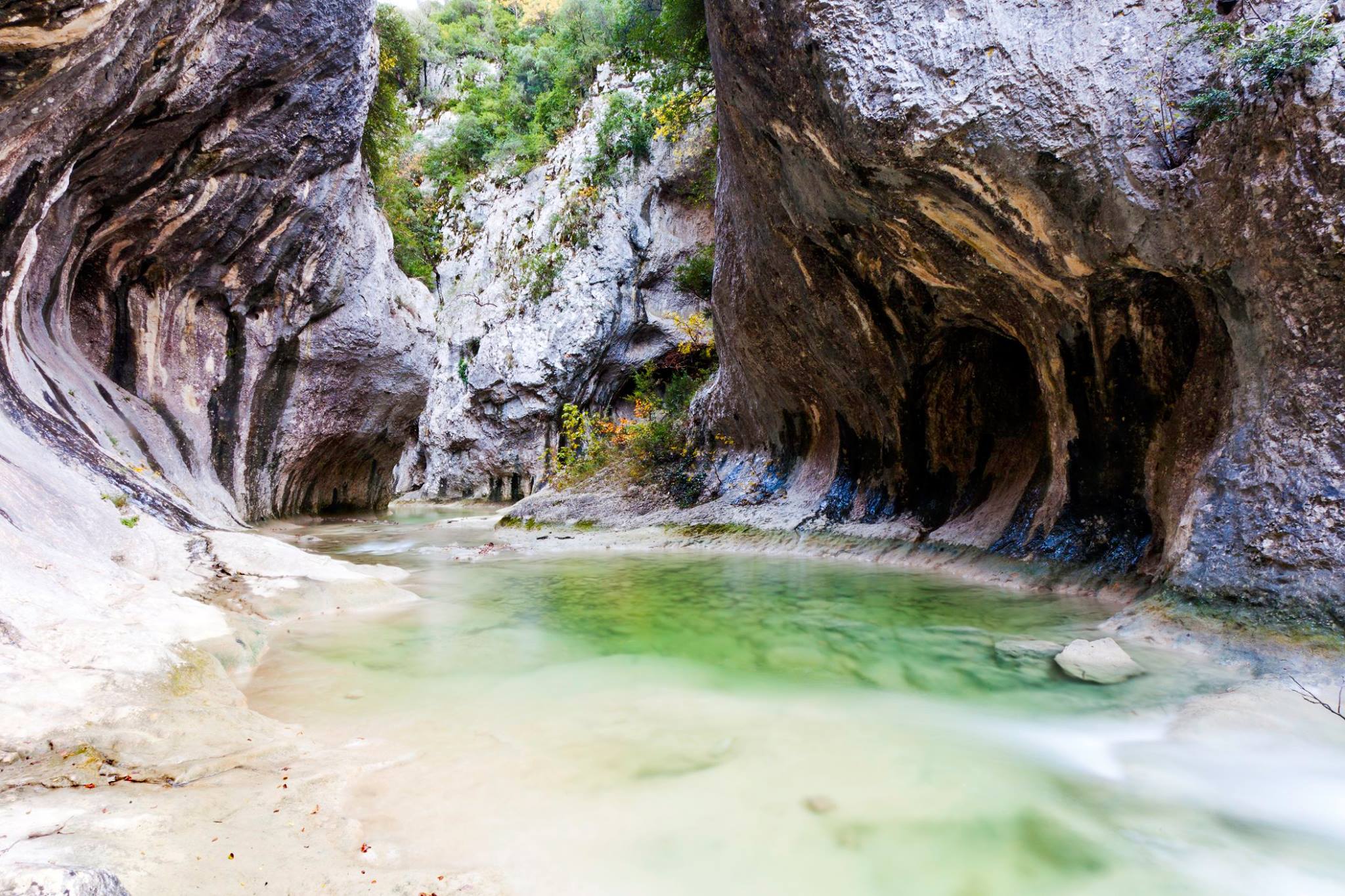
Pretty demanding loop within the gorges of l'Aiguillon. Possibility of swimming, and it is sometimes necessary to put your feet in the water.

Already more than 200,000 users!
Uphill
360m
Highest point
295m
Downhill
360m
Lowest point
96m
Route type
Loop
Download the map on your smartphone to save battery and rest assured to always keep access to the route, even without signal.
Includes IGN France and Swisstopo.
I indicate whether dogs are allowed or prohibited on this trail
All year
2 ratings
Also enjoy:

Already more than 200,000 users!