Uphill
351m
Length
14km
Duration
4h30min
Elev gain
351m
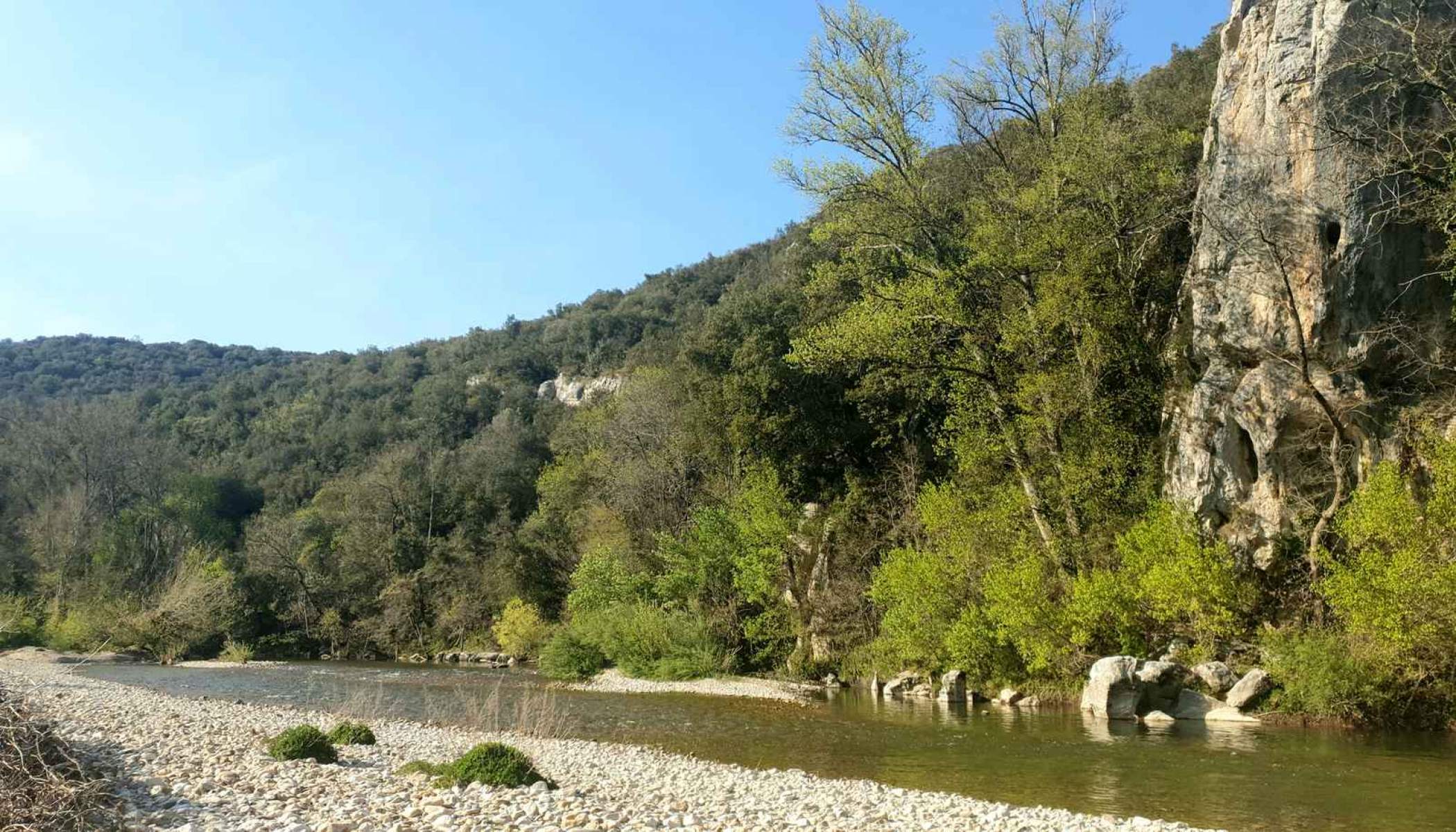
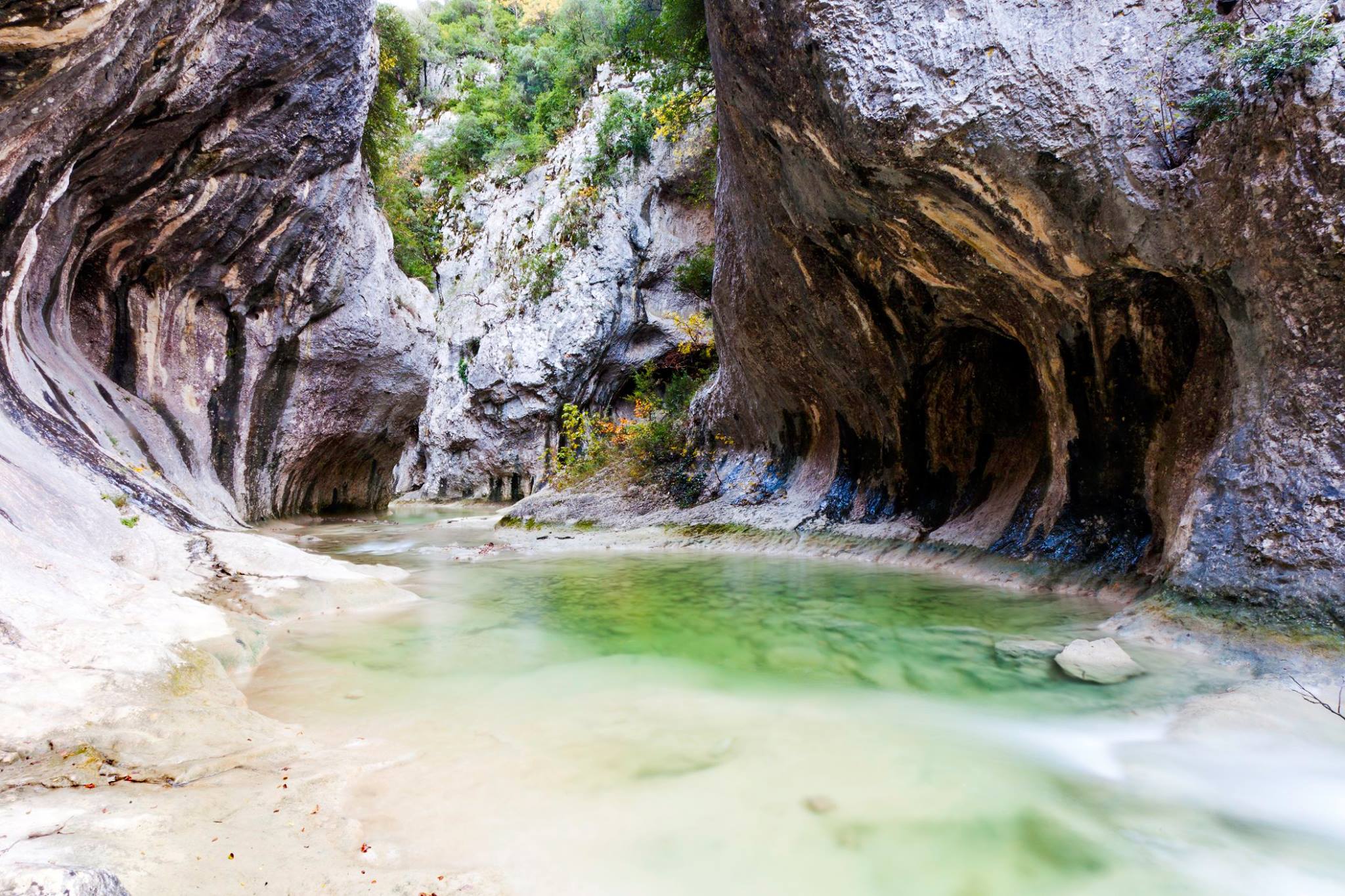
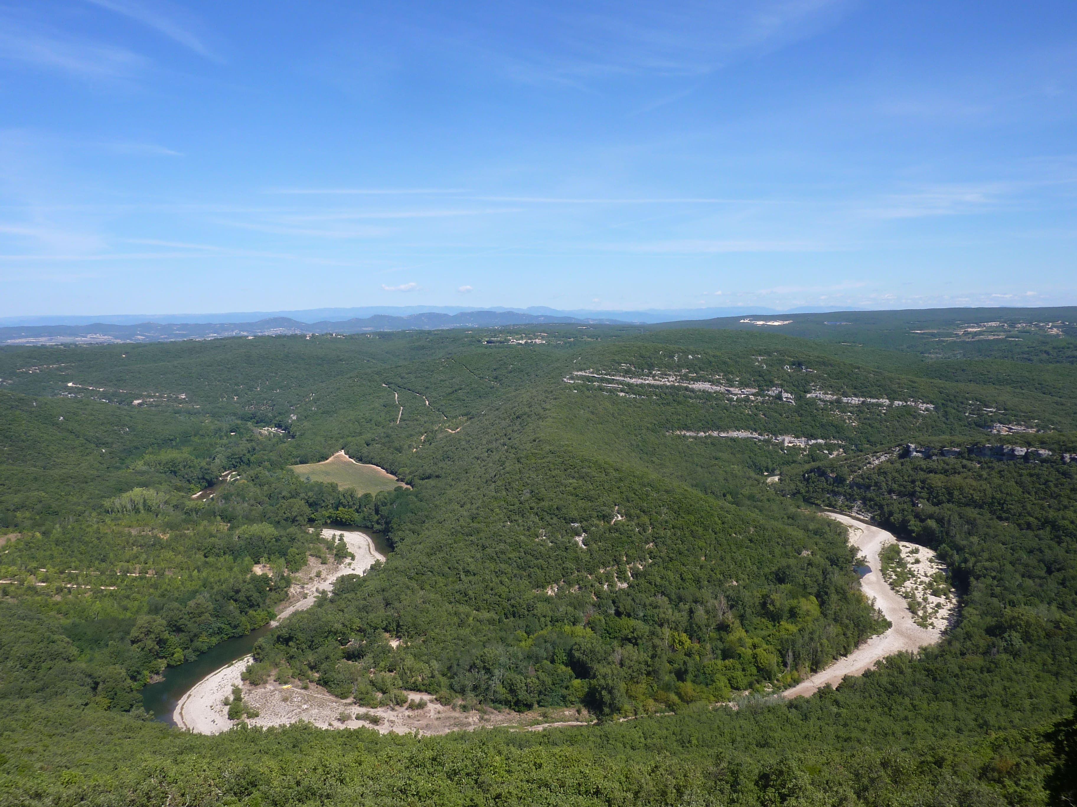
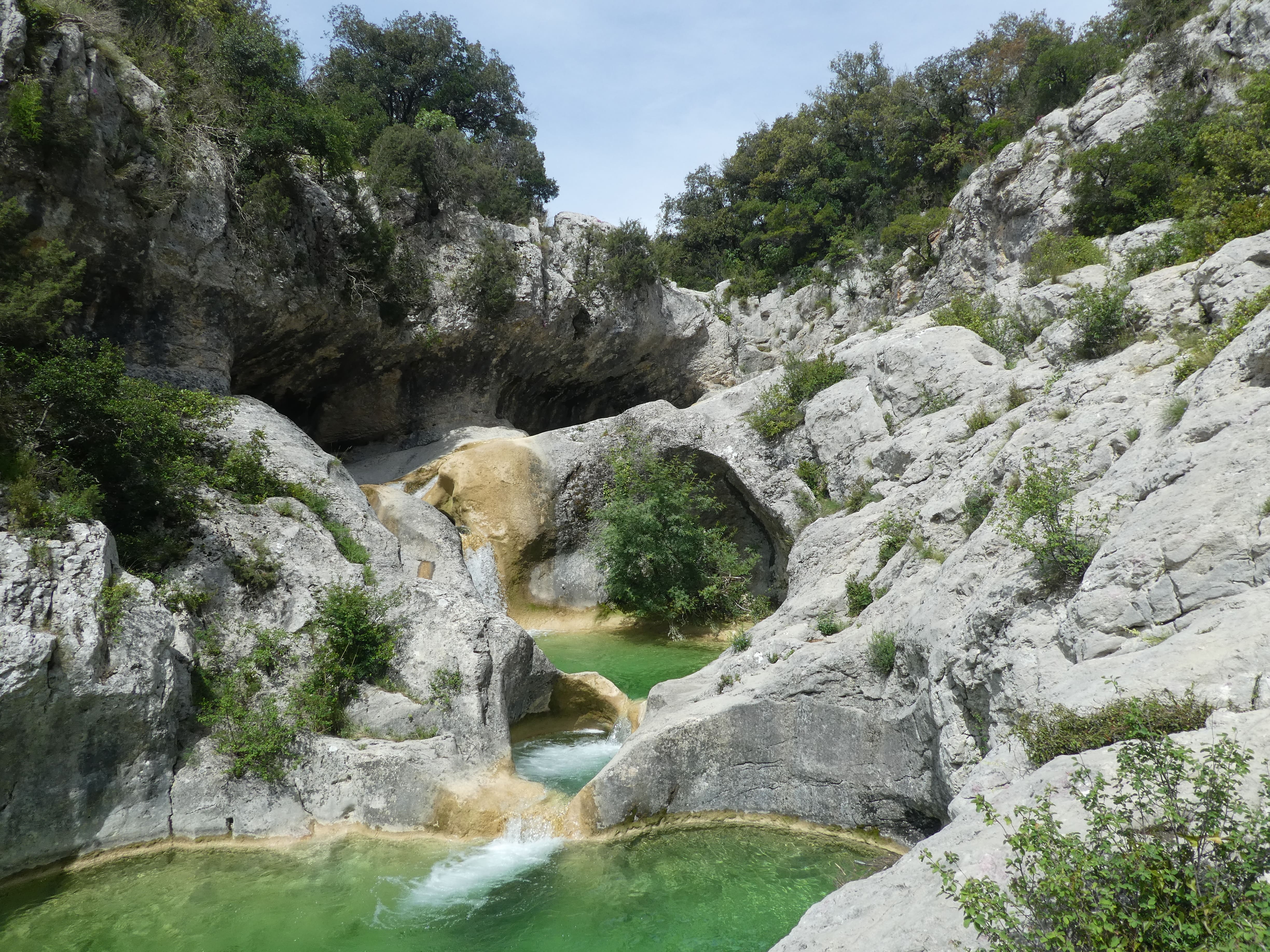
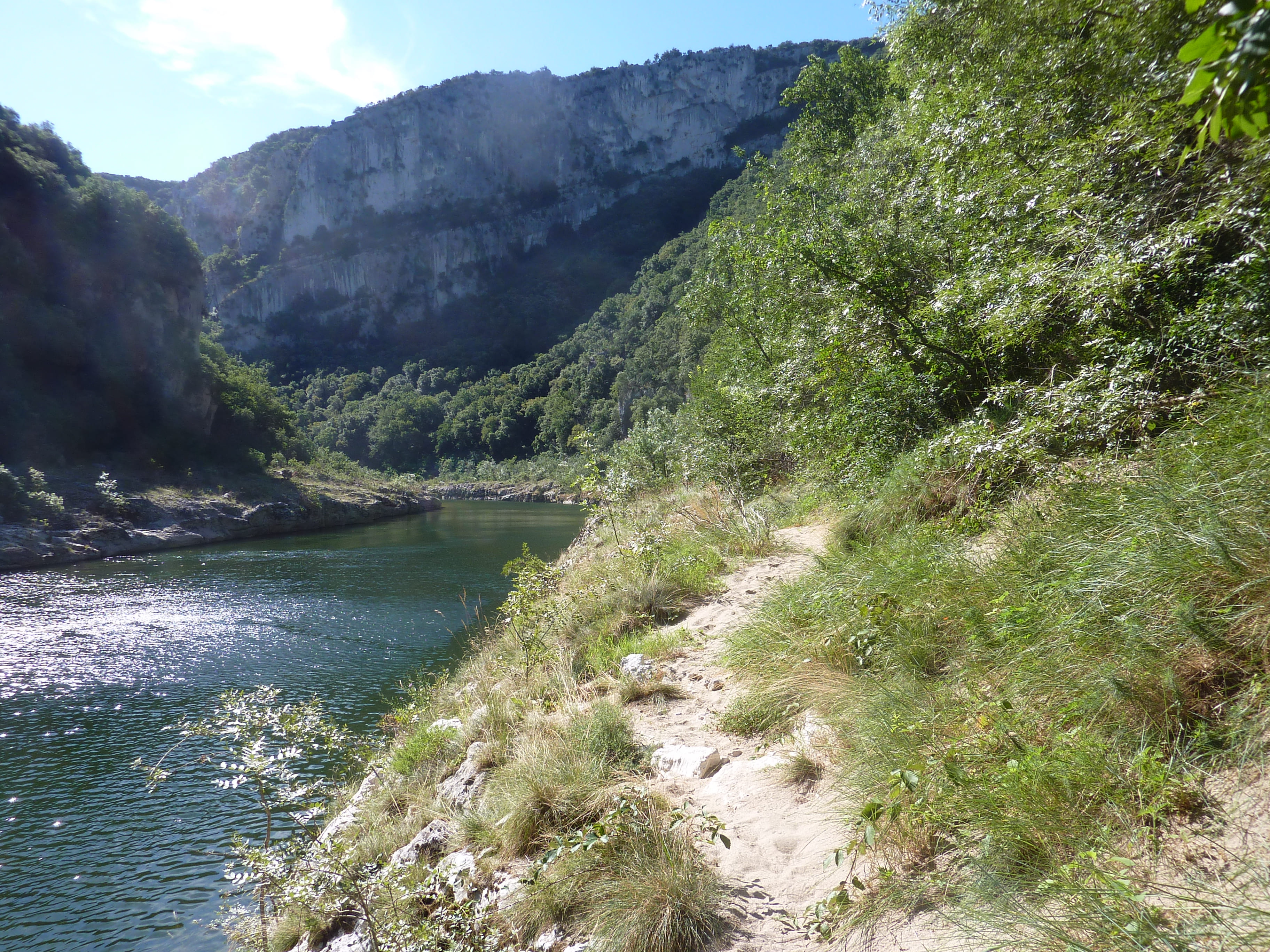
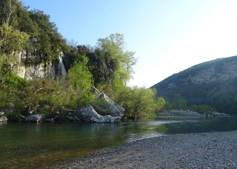
Here is a hike starting from Méjannes-le-Clap. The path leads to the village of Tharaux and its many beaches where it is possible to swim and picnic. After a nice break, return to the starting point by a rather steep and rocky path. A refreshing hike.

Already more than 200,000 users!
Uphill
351m
Highest point
339m
Downhill
351m
Lowest point
95m
Route type
Loop
Download the map on your smartphone to save battery and rest assured to always keep access to the route, even without signal.
Includes IGN France and Swisstopo.
I indicate whether dogs are allowed or prohibited on this trail
All year
0 ratings
Also enjoy:

Already more than 200,000 users!