Uphill
339m
Length
12km
Duration
4h
Elev gain
339m
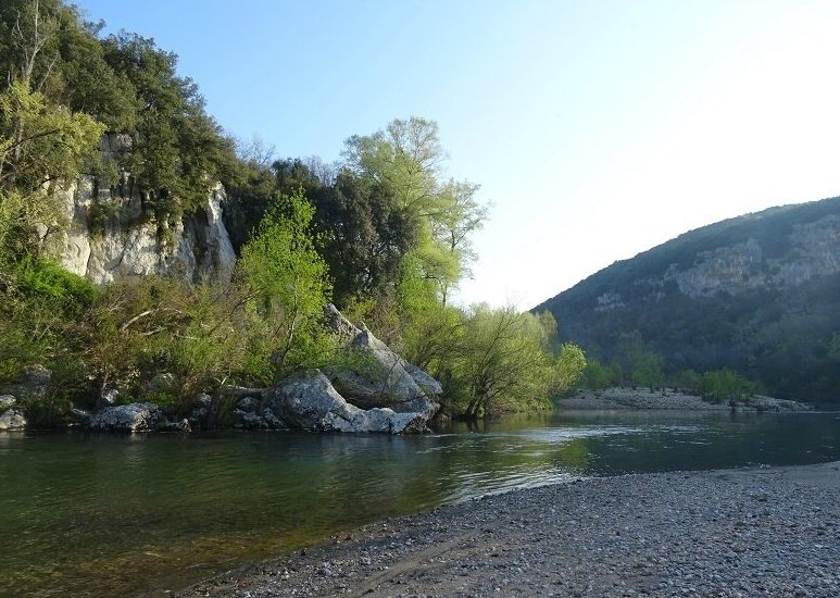
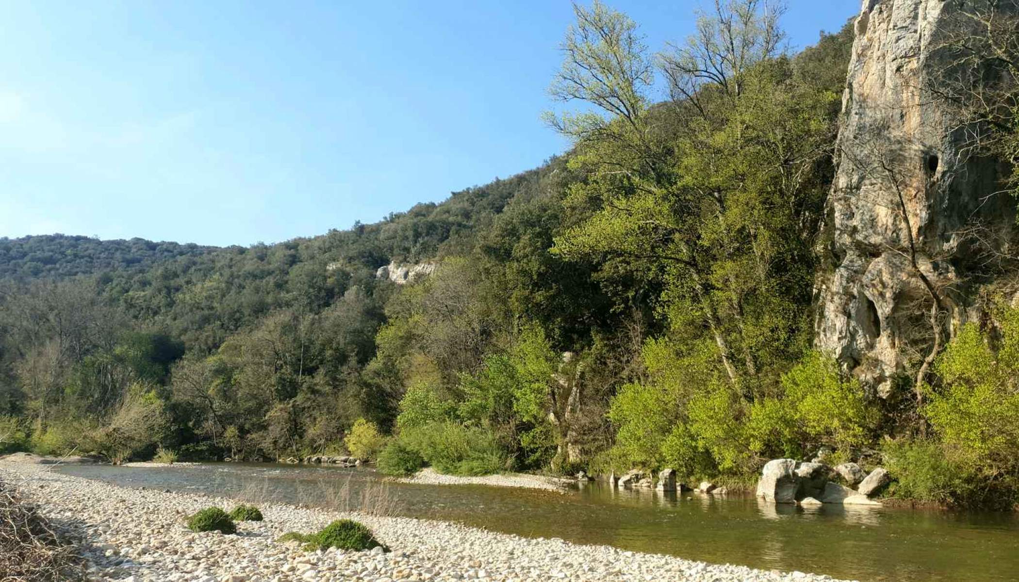
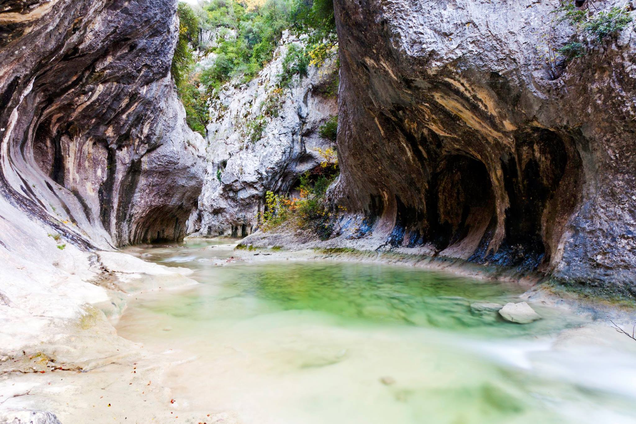
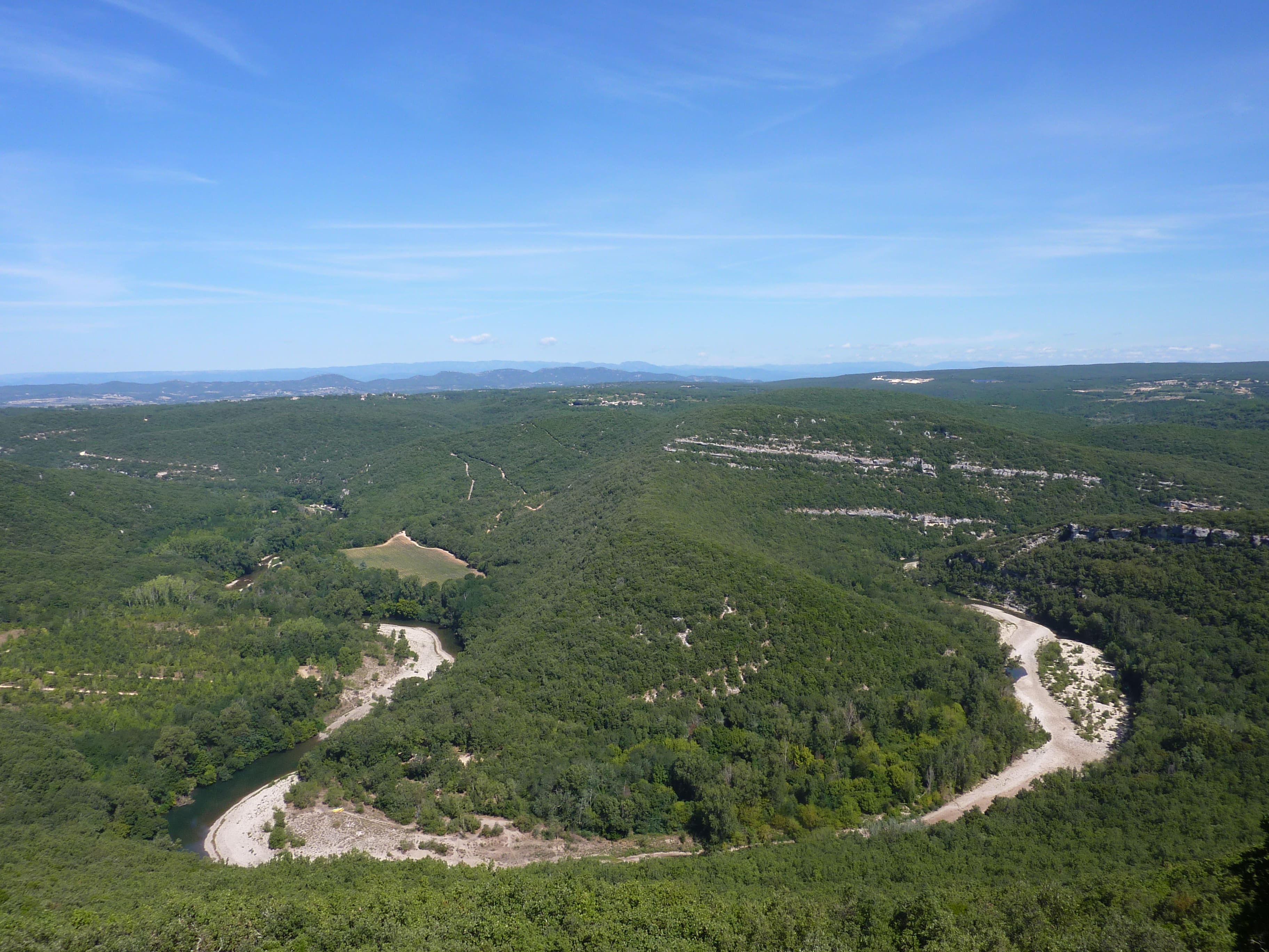
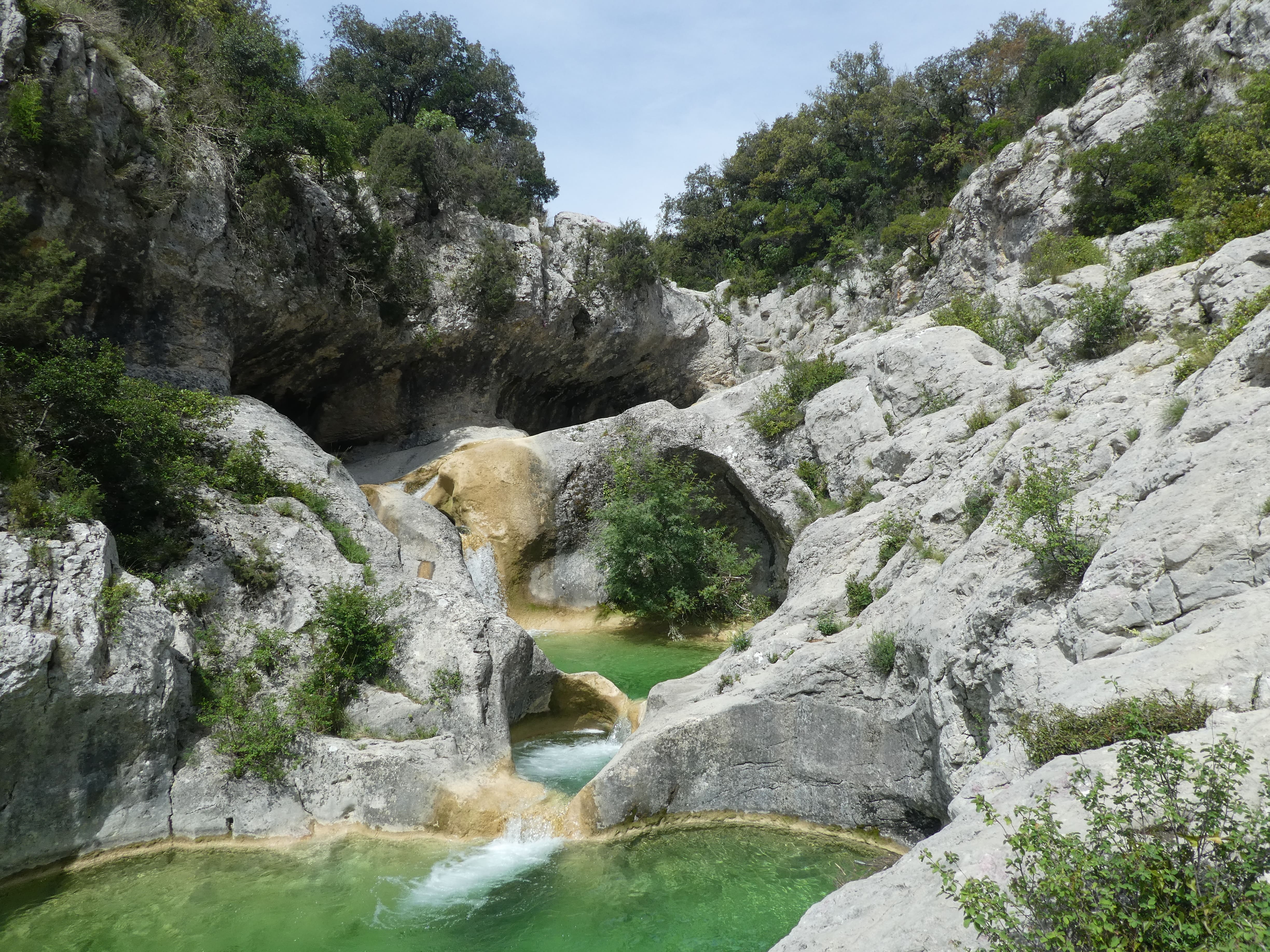
Departing from Le Bouquet, this hike begins by following the Séguissous then passes through the villages of Nougueyrets and Suzon, before joining the small Aiguières. It is a geological curiosity made up of waterfalls and cavities dug in the bed of the Valat de Séguissous. A real corner of paradise.
On the way back, the path passes through the Hameau de Cal before reaching the starting point.

Already more than 200,000 users!
Uphill
339m
Highest point
310m
Downhill
339m
Lowest point
131m
Route type
Loop
Download the map on your smartphone to save battery and rest assured to always keep access to the route, even without signal.
Includes IGN France and Swisstopo.
I indicate whether dogs are allowed or prohibited on this trail
All year
5 ratings
Also enjoy:

Already more than 200,000 users!