Uphill
134m
Length
7km
Duration
2h
Elev gain
134m
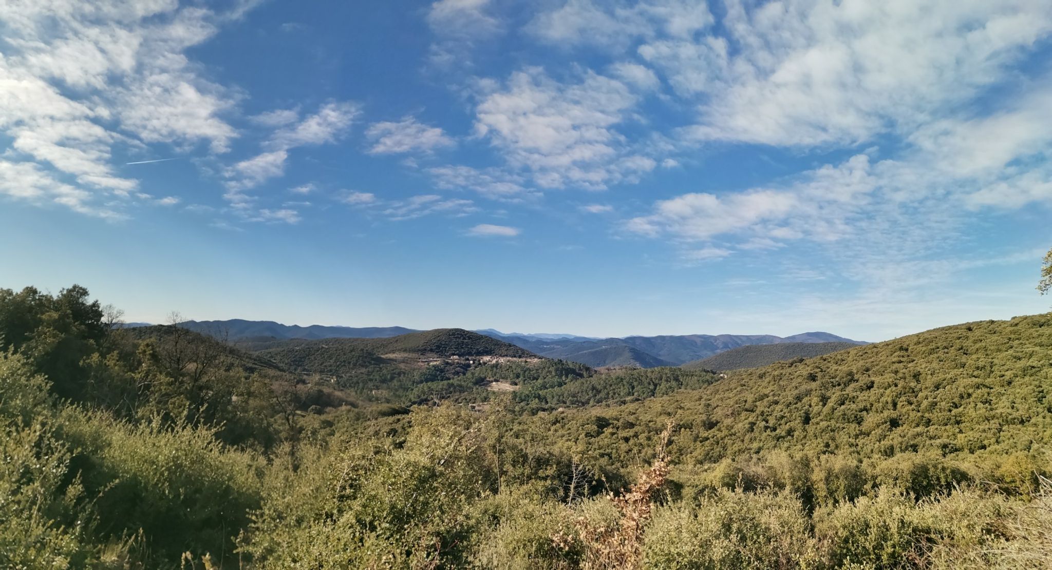
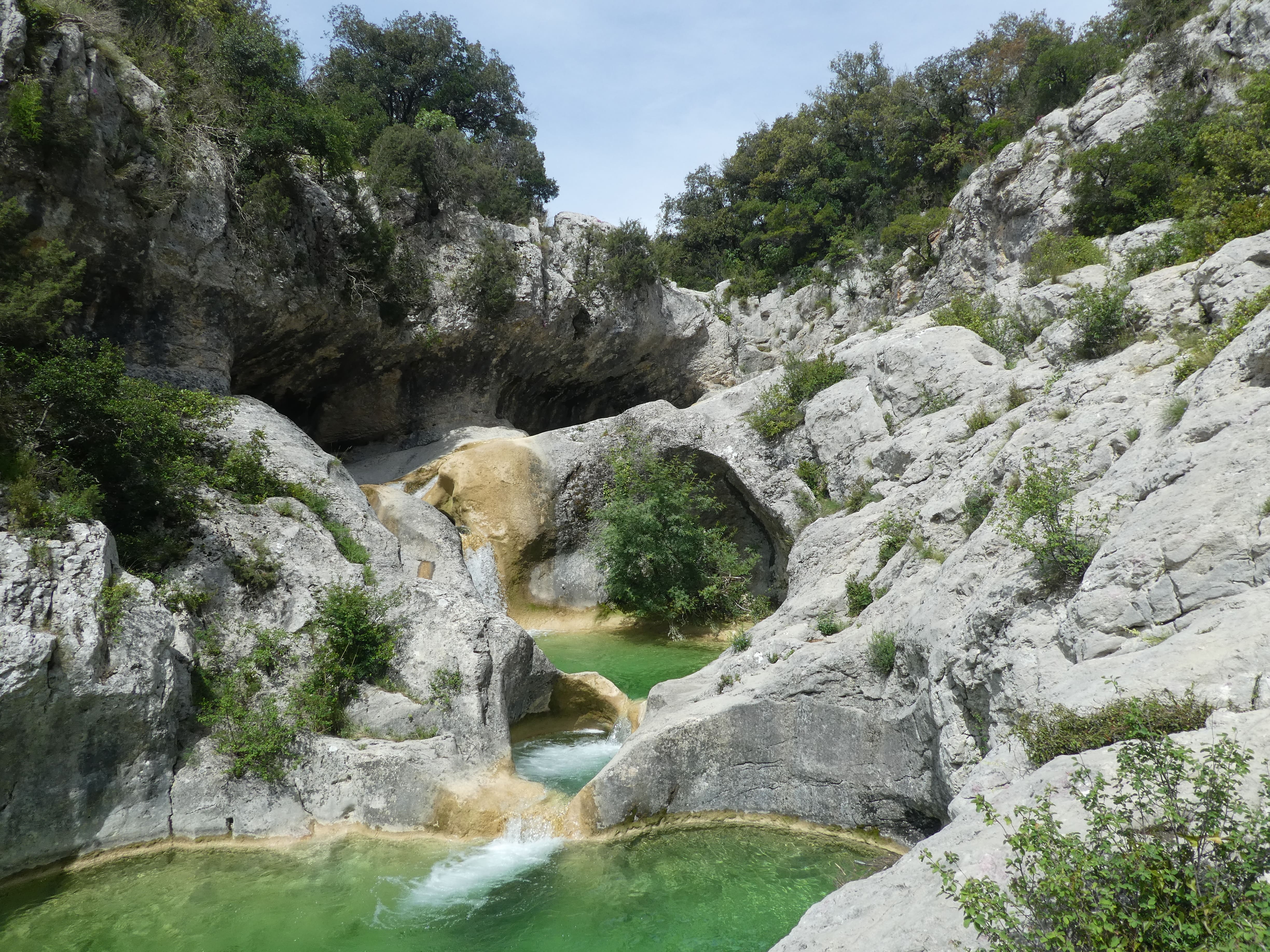
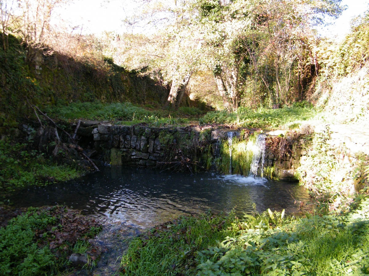
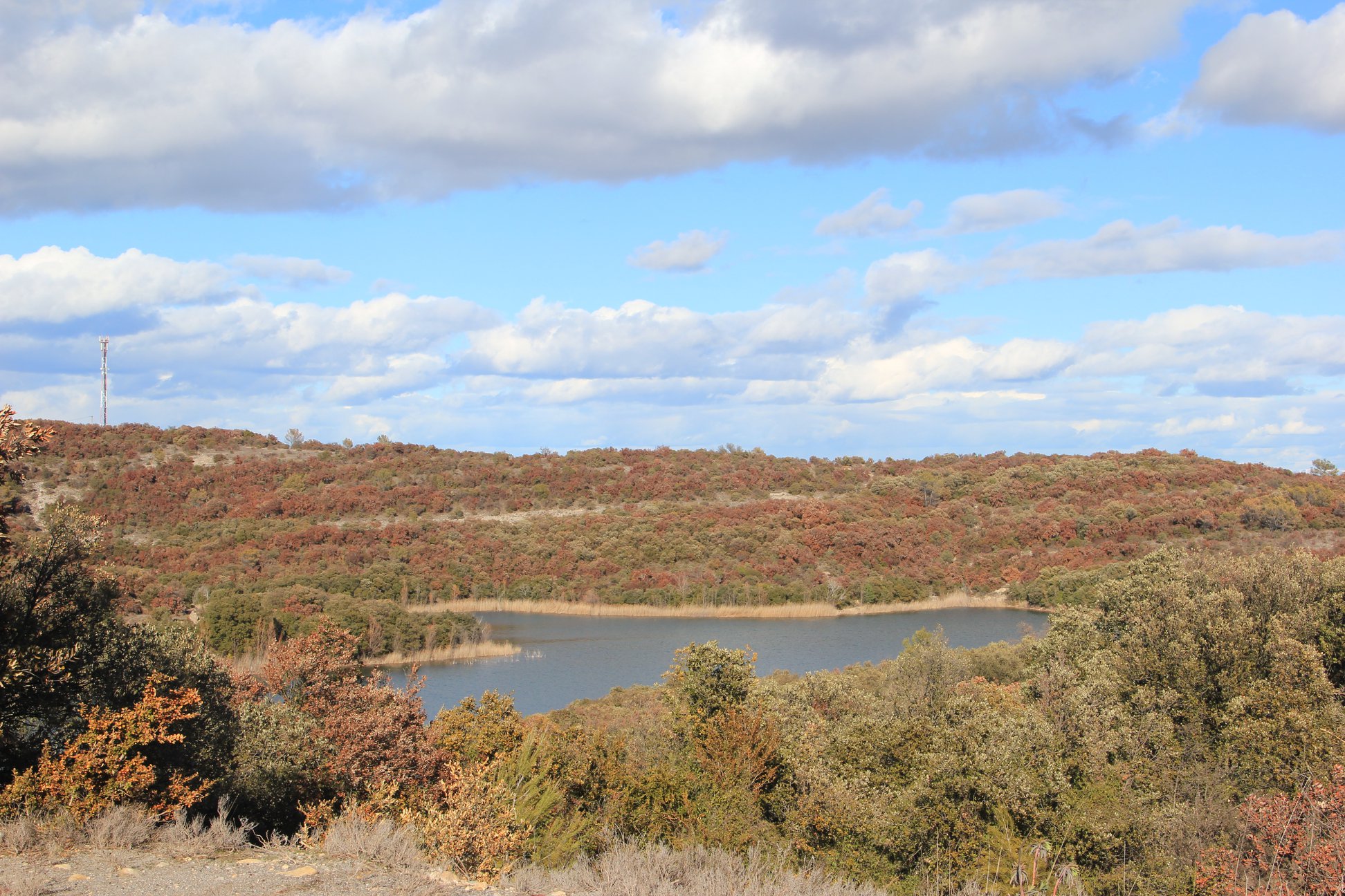
This hike makes a loop around the pretty lake of Rousson. The trail is lightly shaded and crosses the river twice.

Already more than 200,000 users!
Uphill
134m
Highest point
303m
Downhill
134m
Lowest point
196m
Route type
Loop
Download the map on your smartphone to save battery and rest assured to always keep access to the route, even without signal.
Includes IGN France and Swisstopo.
I indicate whether dogs are allowed or prohibited on this trail
All year
2 ratings
Payer tjrs payer!
Also enjoy:

Already more than 200,000 users!