Uphill
294m
Length
11km
Duration
3h30min
Elev gain
294m
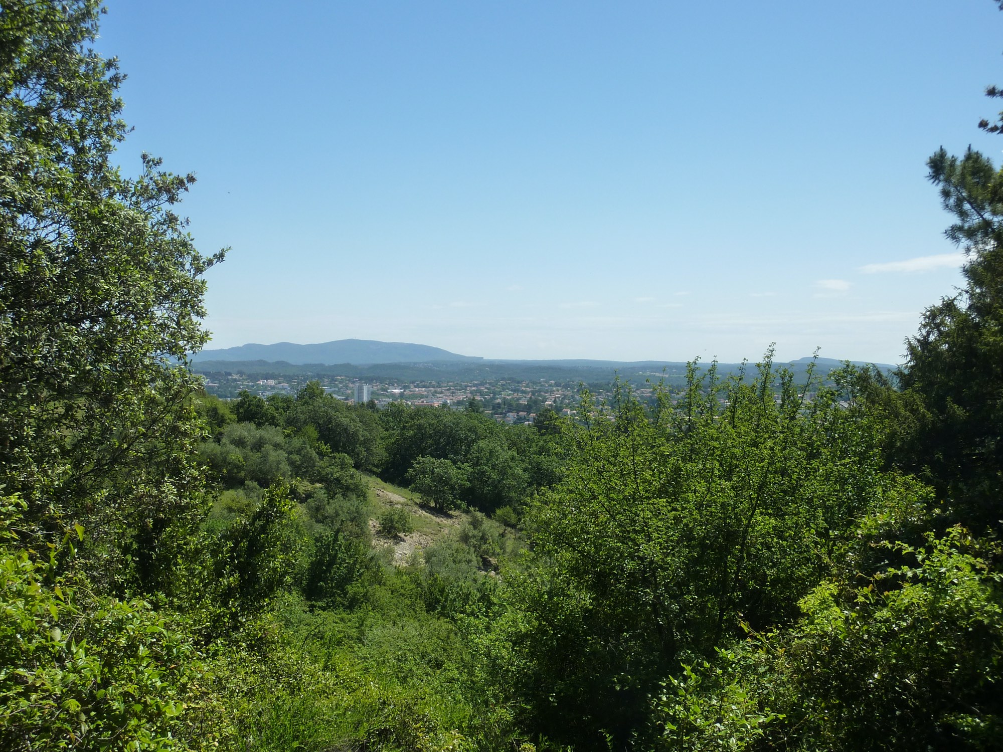
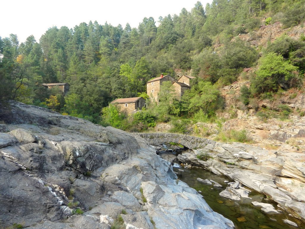
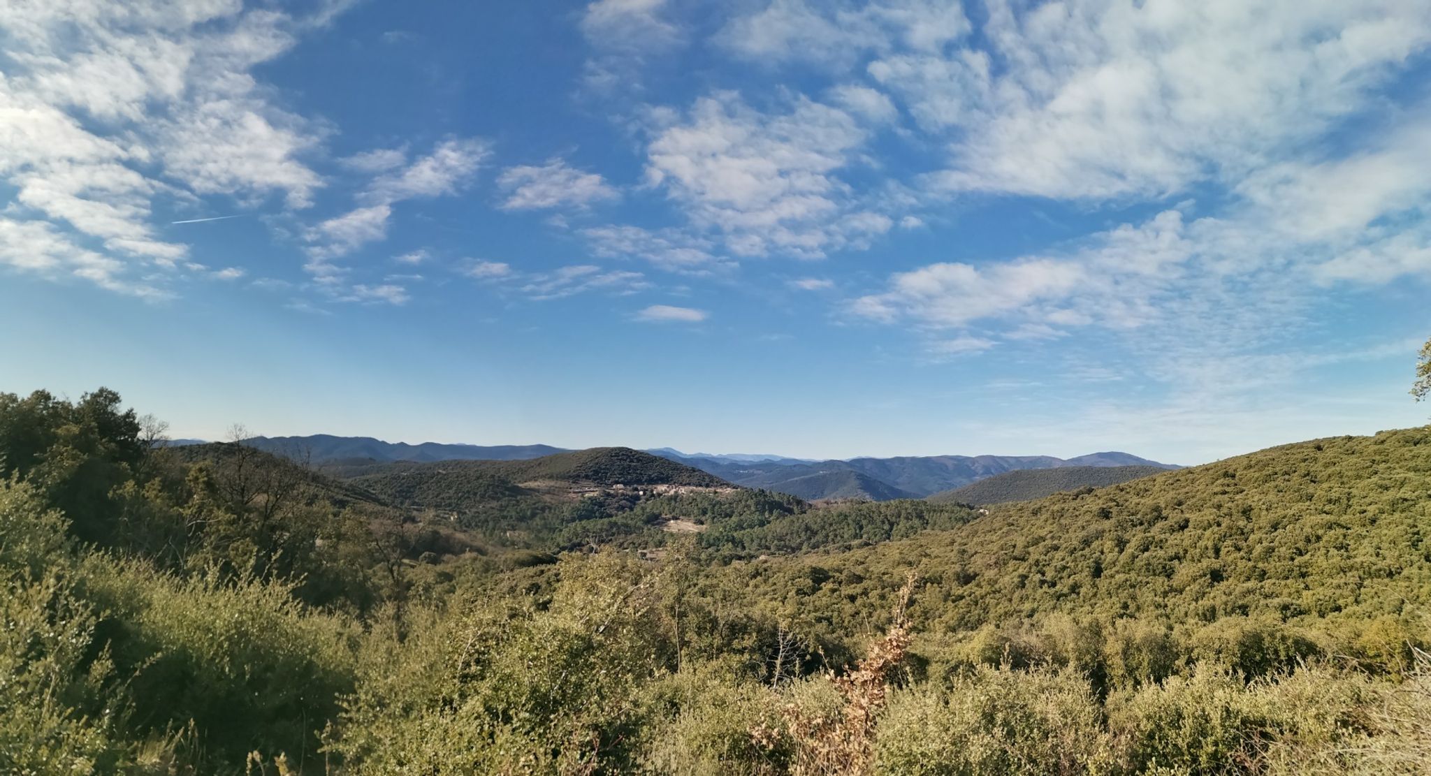
It is north of Alès, in Saint-Julien-les-Rosiers, that this hike takes place. A pretty loop that takes height to offer many views of Alès and its surroundings, it's superb.

Already more than 200,000 users!
Uphill
294m
Highest point
426m
Downhill
294m
Lowest point
195m
Route type
Loop
Download the map on your smartphone to save battery and rest assured to always keep access to the route, even without signal.
Includes IGN France and Swisstopo.
I indicate whether dogs are allowed or prohibited on this trail
All year
0 ratings
Also enjoy:

Already more than 200,000 users!