Uphill
948m
Length
11km
Duration
6h30min
Elev gain
948m
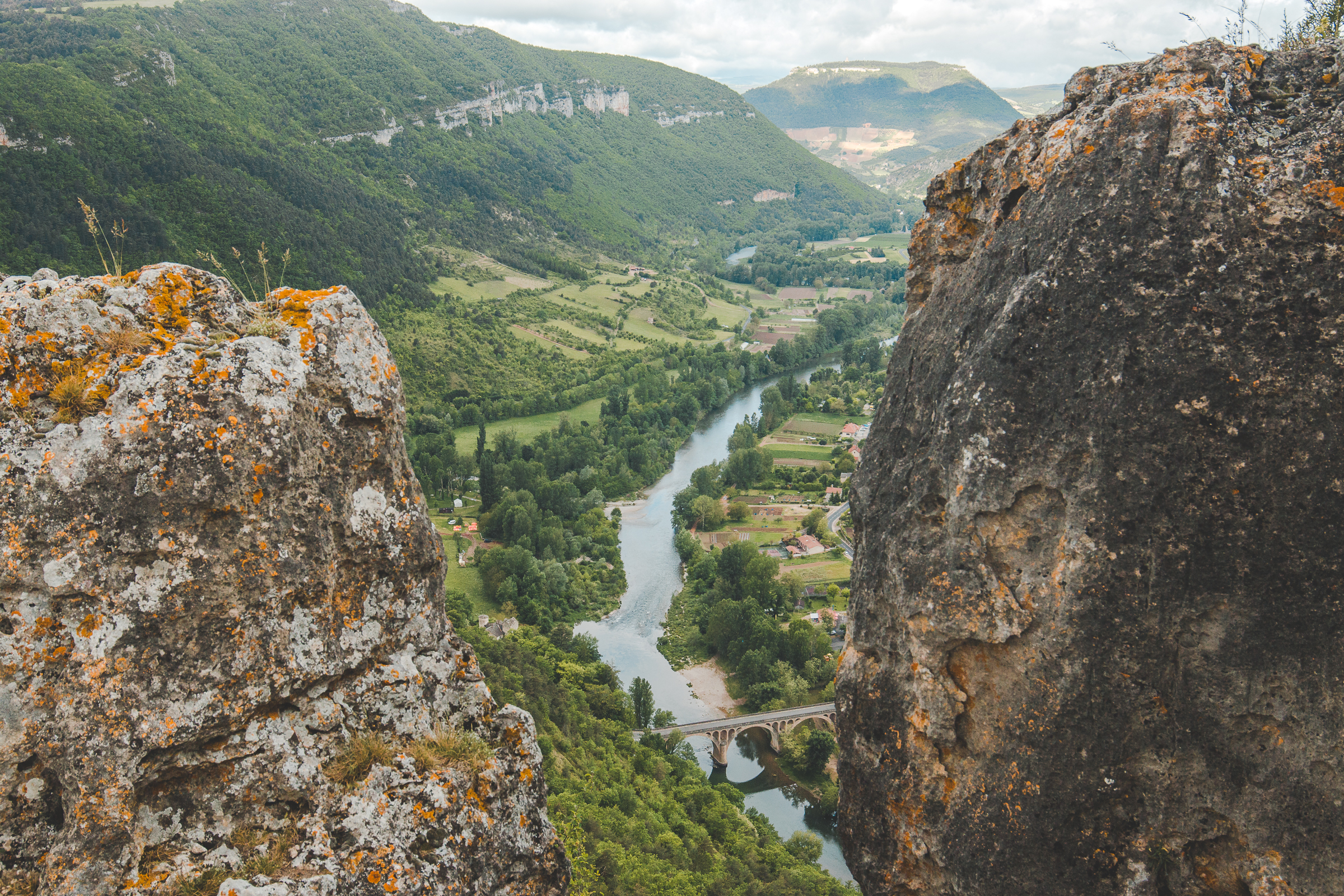
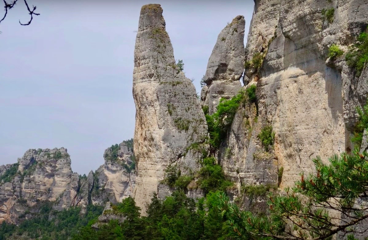
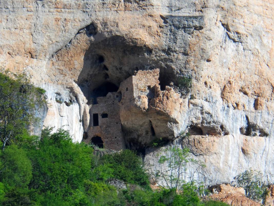
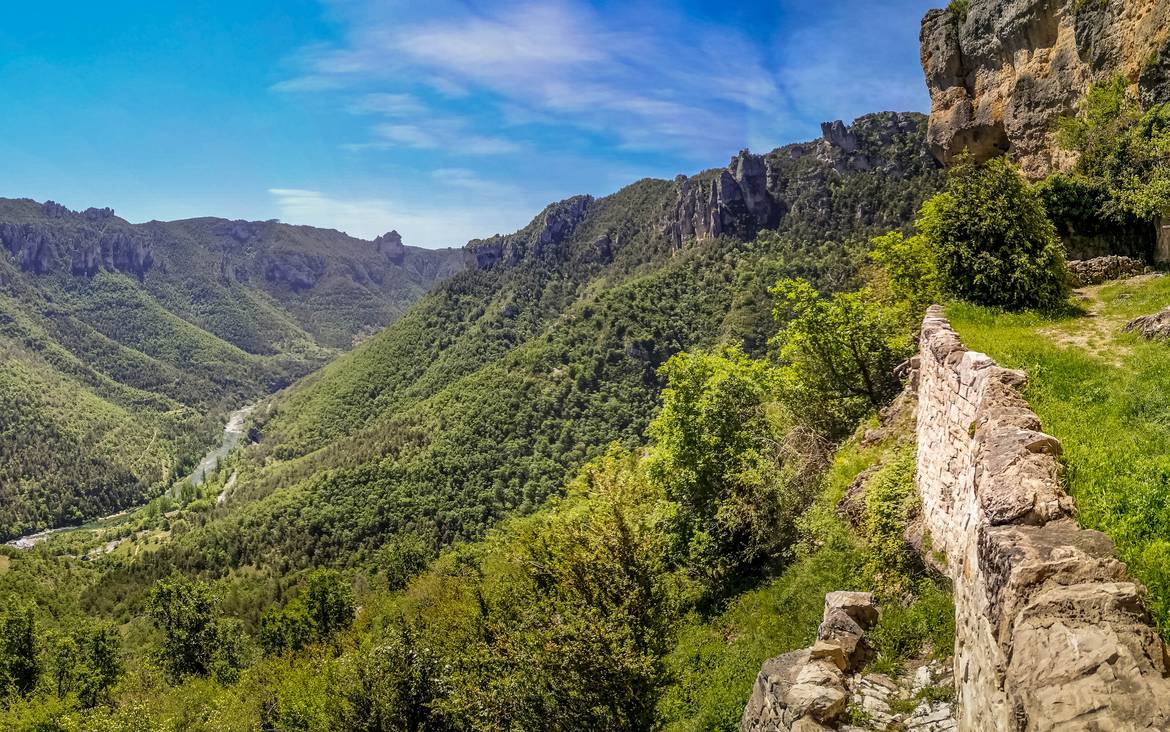
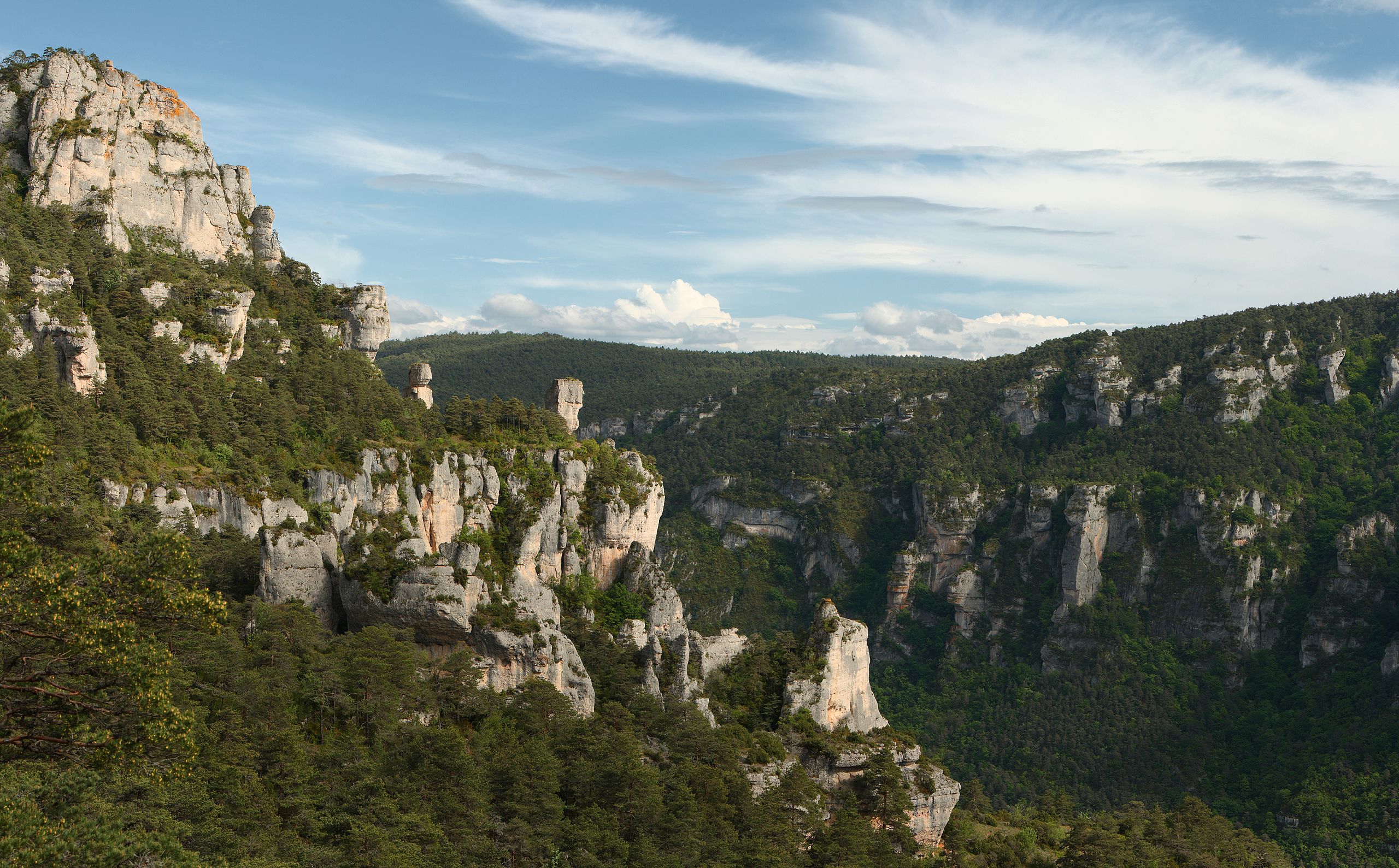
An original hike with splendid views of the Jonte and the Tarn, amazing monoliths, numerous vultures... A must-see in Causse Méjean.

Already more than 200,000 users!
Uphill
948m
Highest point
881m
Downhill
948m
Lowest point
397m
Route type
Loop
Download the map on your smartphone to save battery and rest assured to always keep access to the route, even without signal.
Includes IGN France and Swisstopo.
I indicate whether dogs are allowed or prohibited on this trail
All year
1 rating
Also enjoy:

Already more than 200,000 users!