Uphill
747m
France > Occitanie > Aveyron > Grands Causses Regional Natural Park
Length
12km
Duration
5h30min
Elev gain
747m
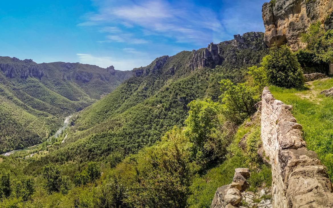
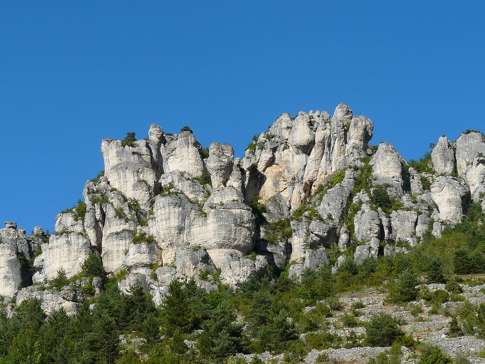
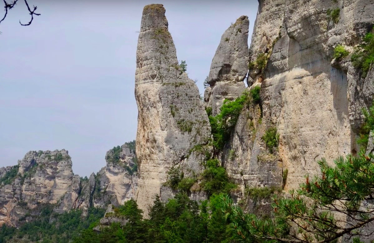
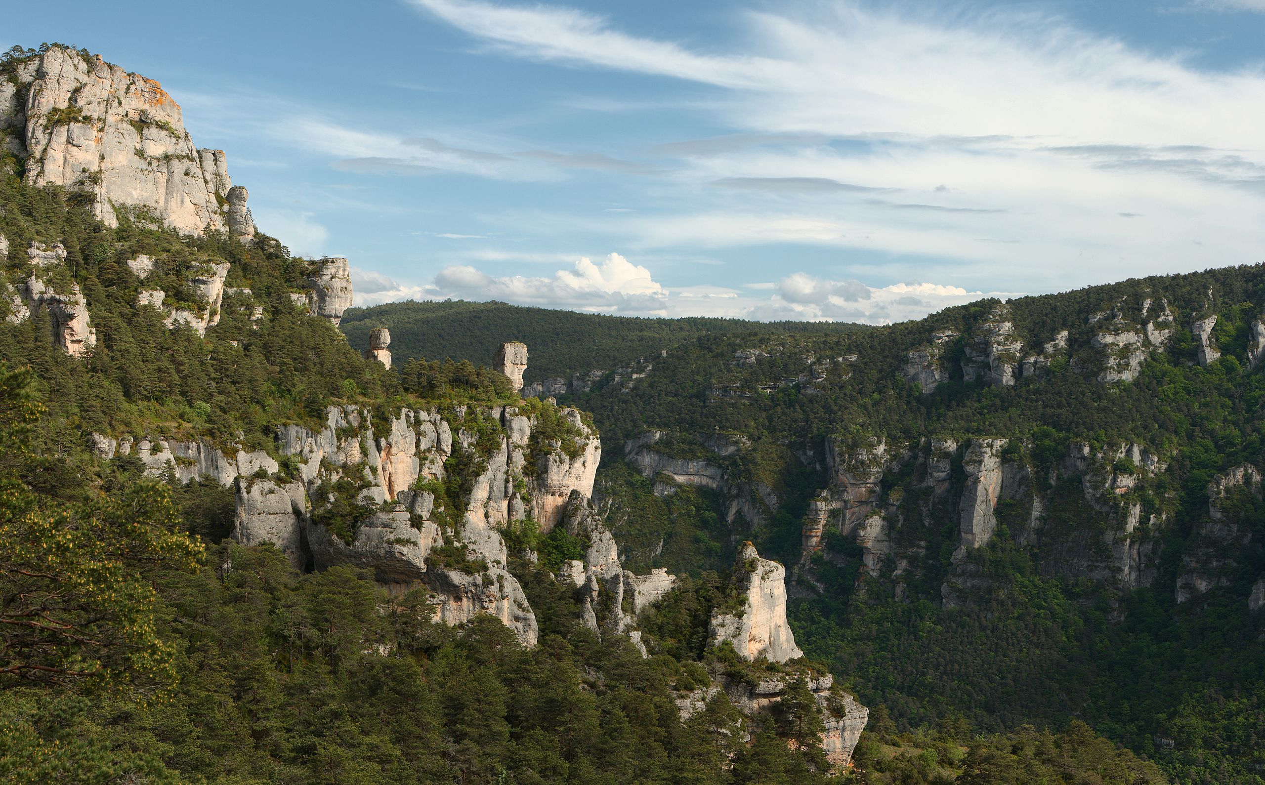
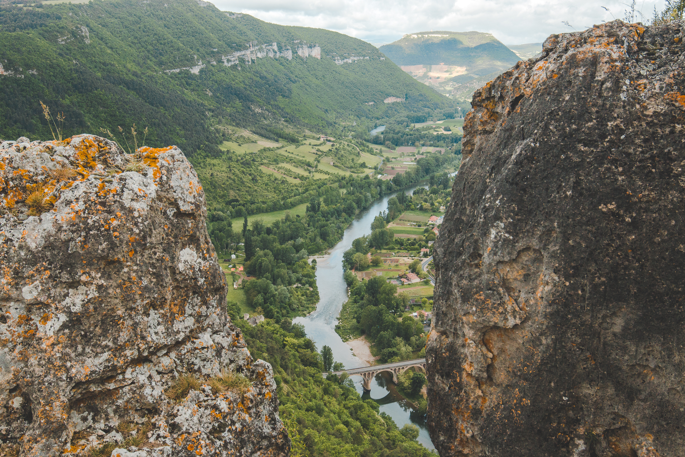
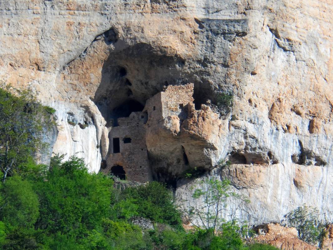
This is an original hike that starts near the village of Liaucous. The route makes a round trip to the Saint-Marcellin troglodyte castle via the village of Églazine. The views of the Tarn and its gorges are superb.

Already more than 200,000 users!
Uphill
747m
Highest point
716m
Downhill
747m
Lowest point
456m
Route type
There and back
Download the map on your smartphone to save battery and rest assured to always keep access to the route, even without signal.
Includes IGN France and Swisstopo.
I indicate whether dogs are allowed or prohibited on this trail
All year
0 ratings
Also enjoy:

Already more than 200,000 users!