Uphill
188m
Length
2km
Duration
1h30min
Elev gain
188m
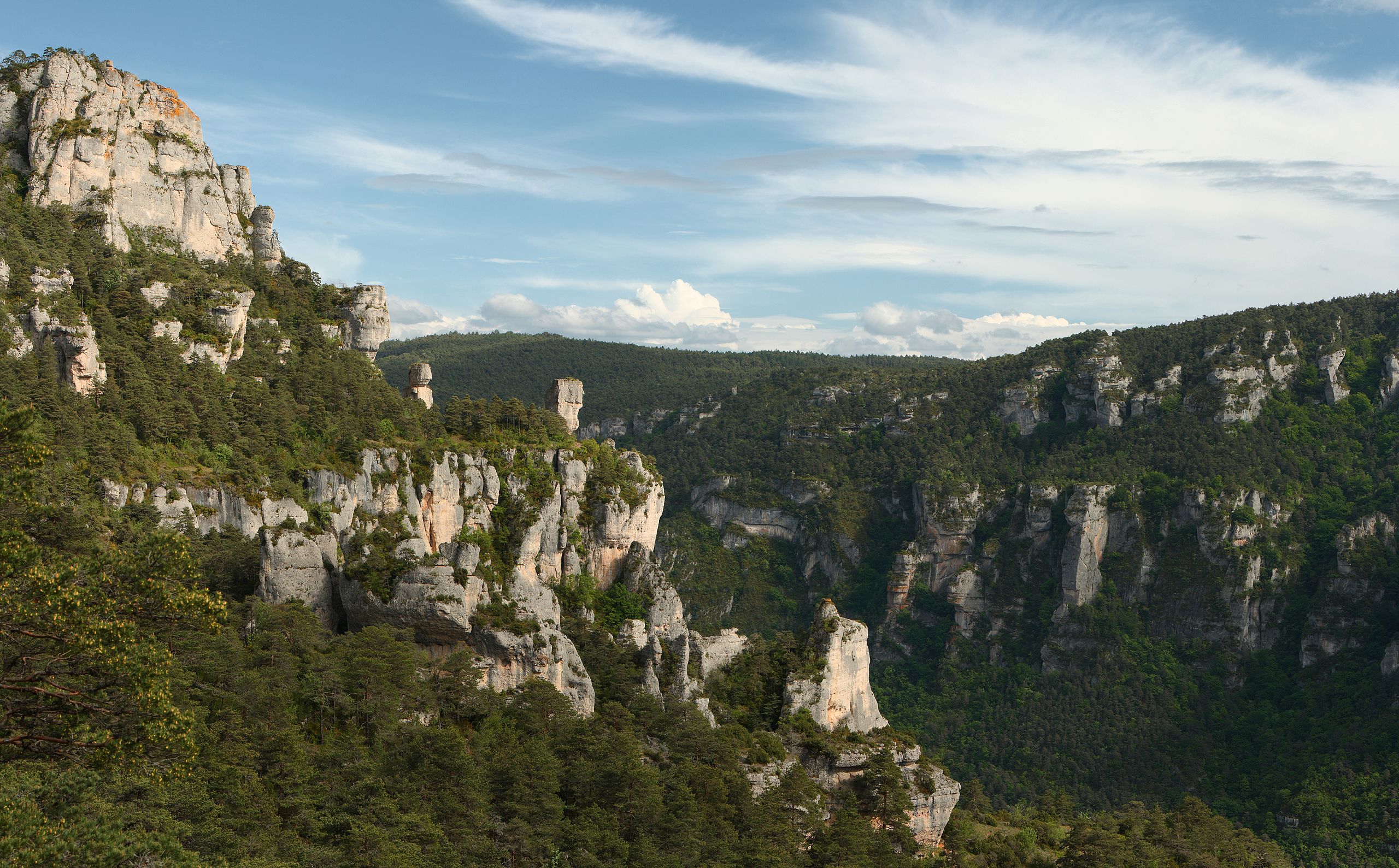
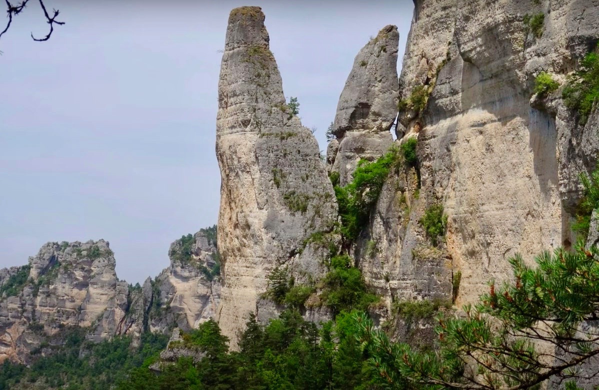
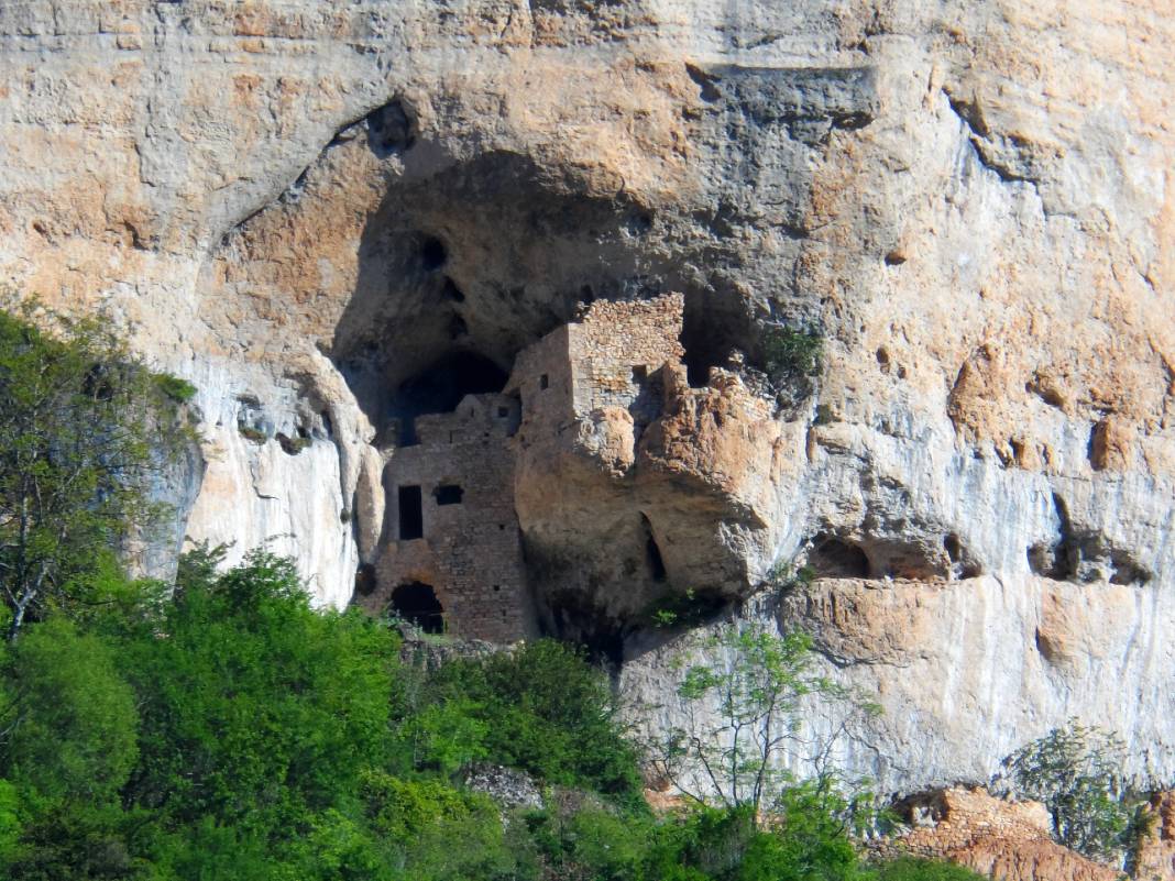
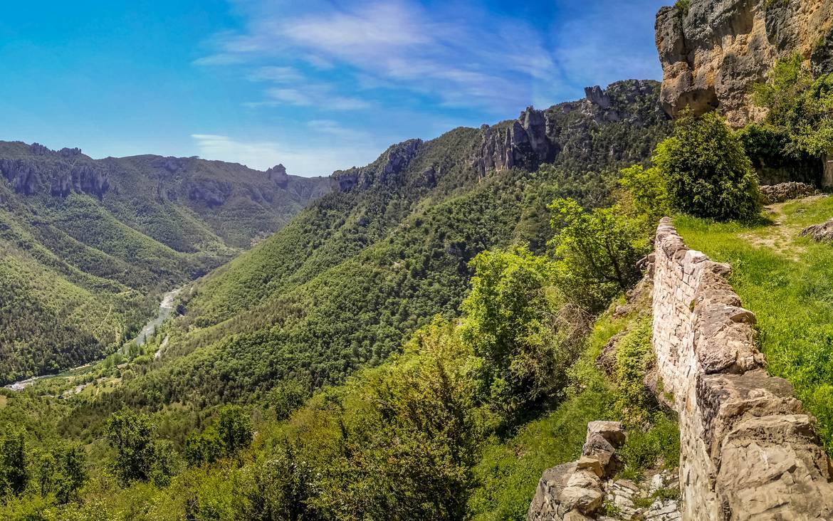
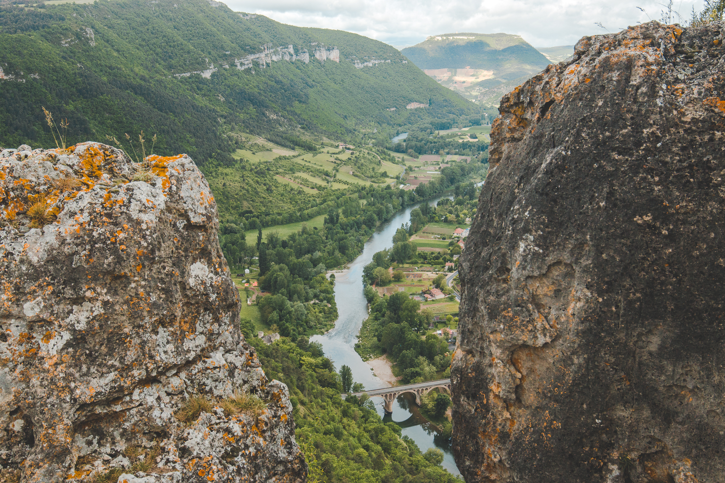
Departing from Le Rozier, this walk climbs up to the rock of Capluc. At the top, the view of the Jonte and Tarn gorges is breathtaking. The hamlet of Capluc is no longer inhabited all year round, but some pretty houses are sometimes occupied during the summer.

Already more than 200,000 users!
Uphill
188m
Highest point
590m
Downhill
188m
Lowest point
396m
Route type
There and back
Download the map on your smartphone to save battery and rest assured to always keep access to the route, even without signal.
Includes IGN France and Swisstopo.
I indicate whether dogs are allowed or prohibited on this trail
All year
2 ratings
Also enjoy:

Already more than 200,000 users!