Uphill
642m
Length
13km
Duration
5h
Elev gain
642m
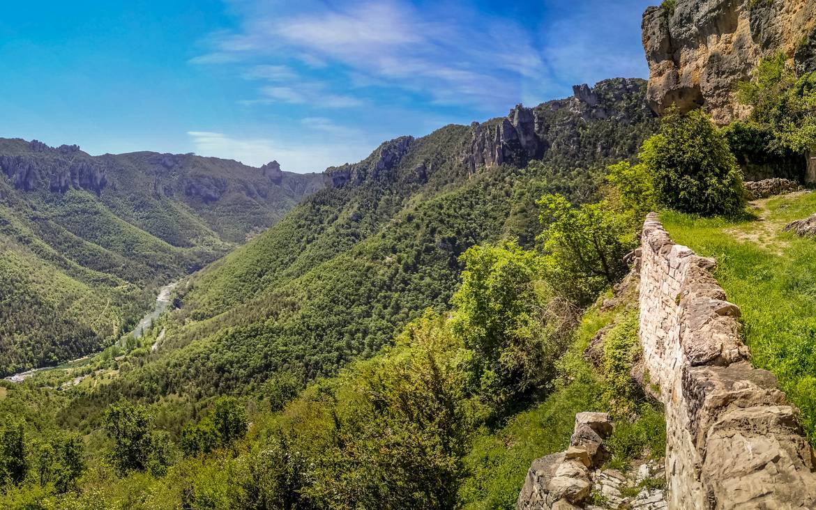
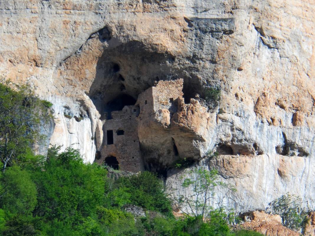
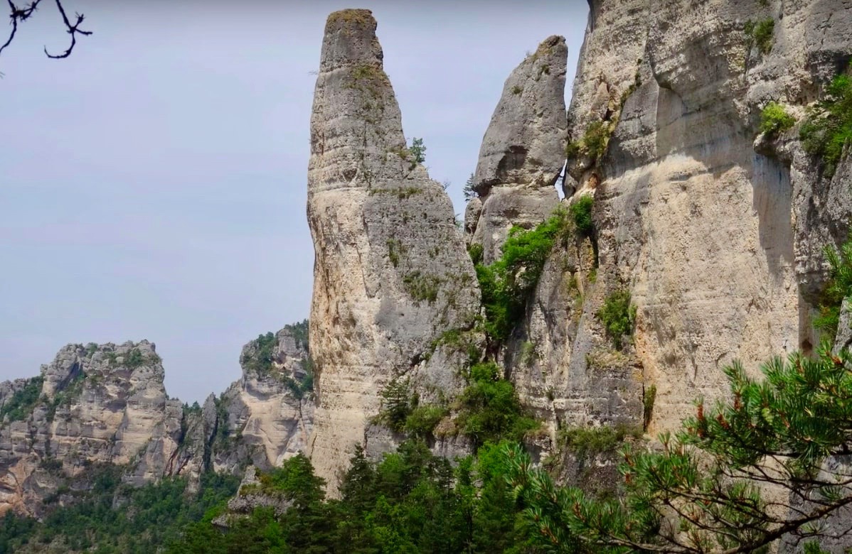
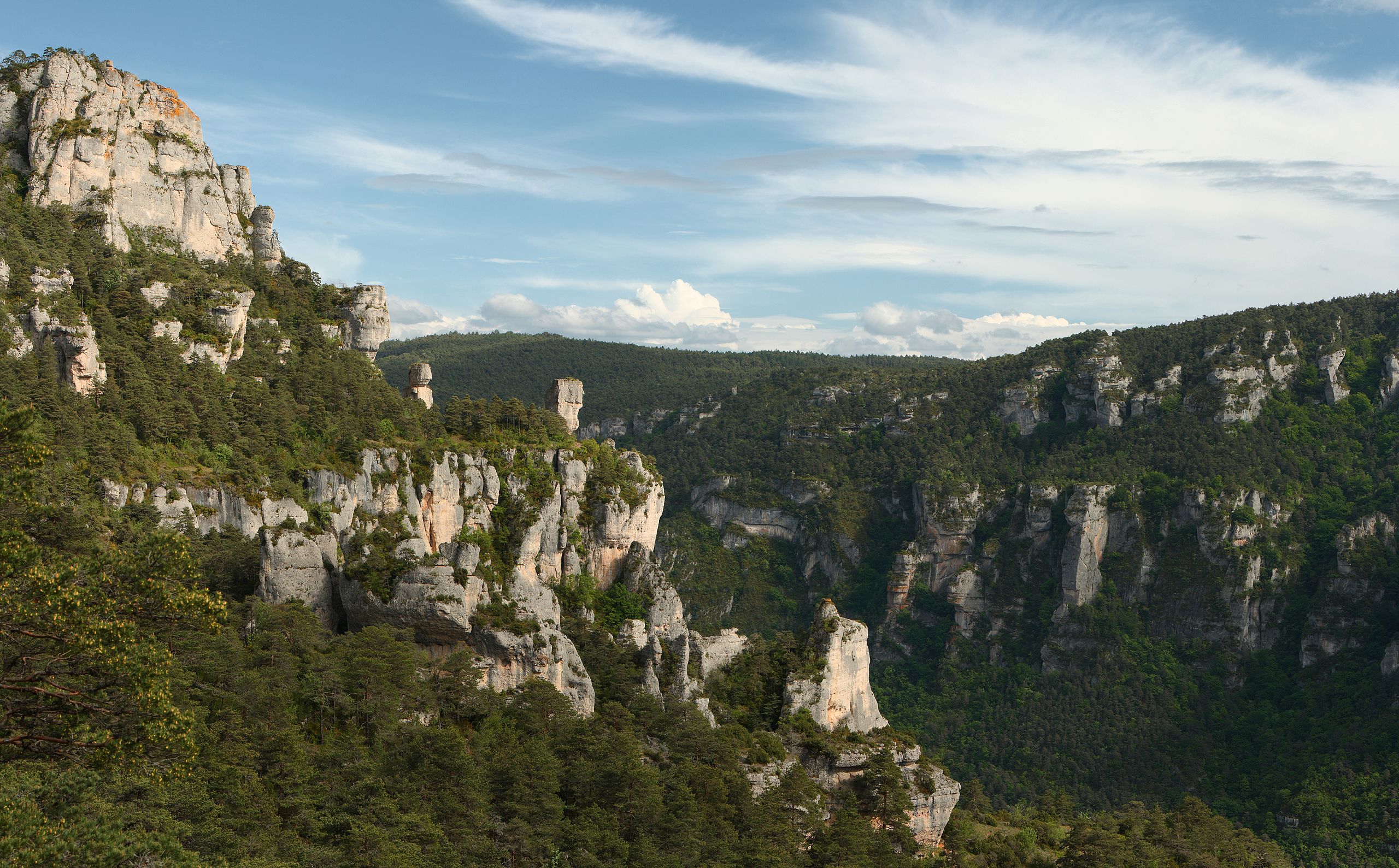
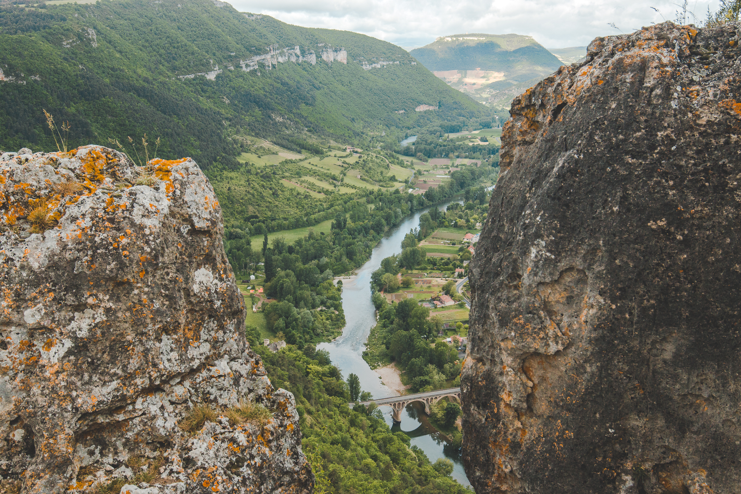
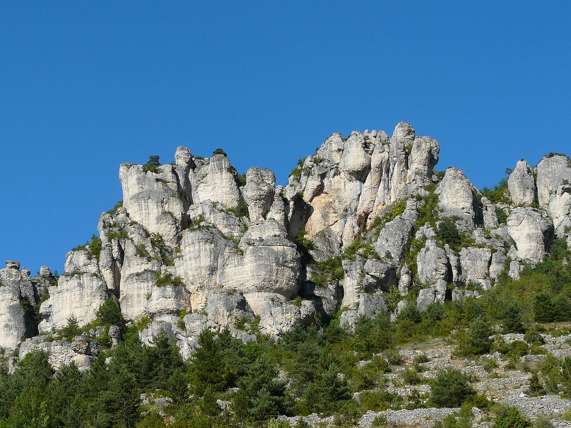
Starting from the small village of Liaucous, this route leads to the rock of Agudes, where the view of the Tarn valley and the Causse de Sauveterre is breathtaking. The path then descends via the tabular rock of Églazines, where the view is also extraordinary. The return follows the Tarn to reach the starting point.

Already more than 200,000 users!
Uphill
642m
Highest point
900m
Downhill
642m
Lowest point
457m
Route type
Loop
Download the map on your smartphone to save battery and rest assured to always keep access to the route, even without signal.
Includes IGN France and Swisstopo.
I indicate whether dogs are allowed or prohibited on this trail
All year
0 ratings
Also enjoy:

Already more than 200,000 users!