Uphill
396m
Length
13km
Duration
4h30min
Elev gain
396m
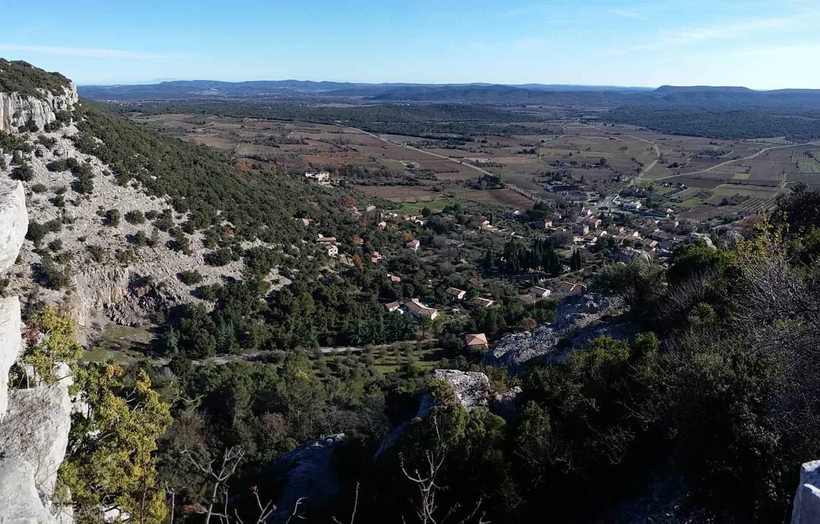
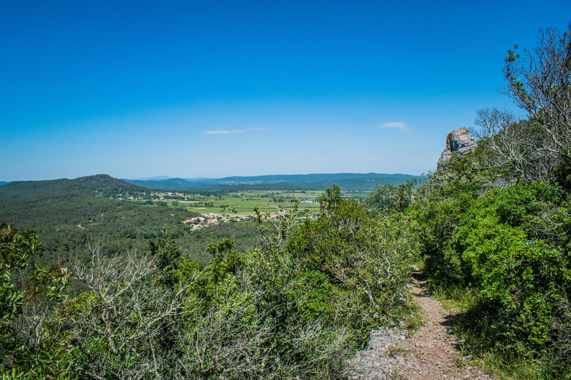
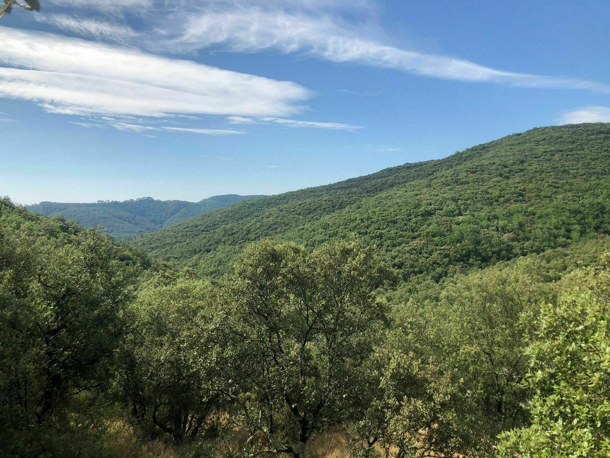
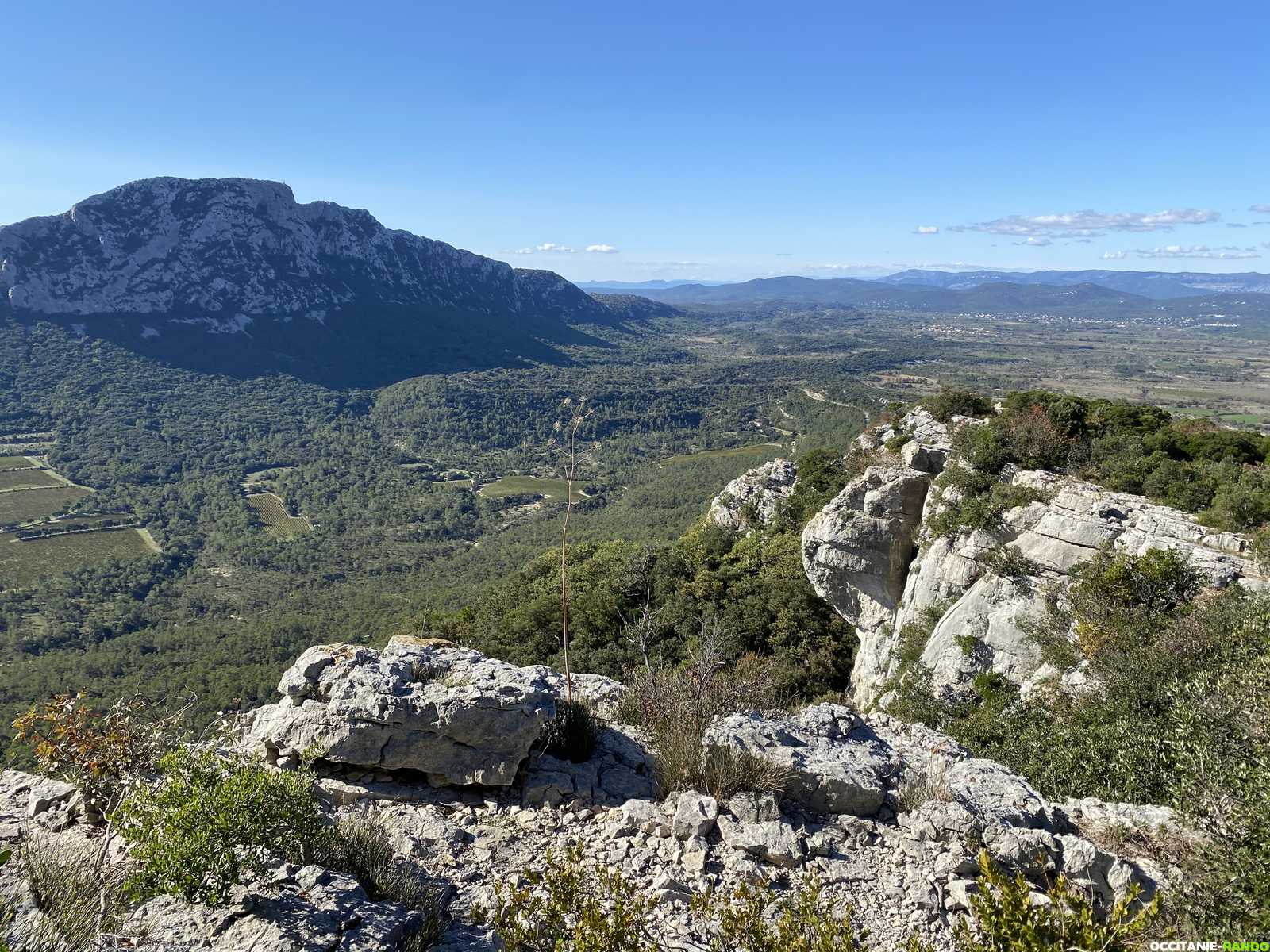
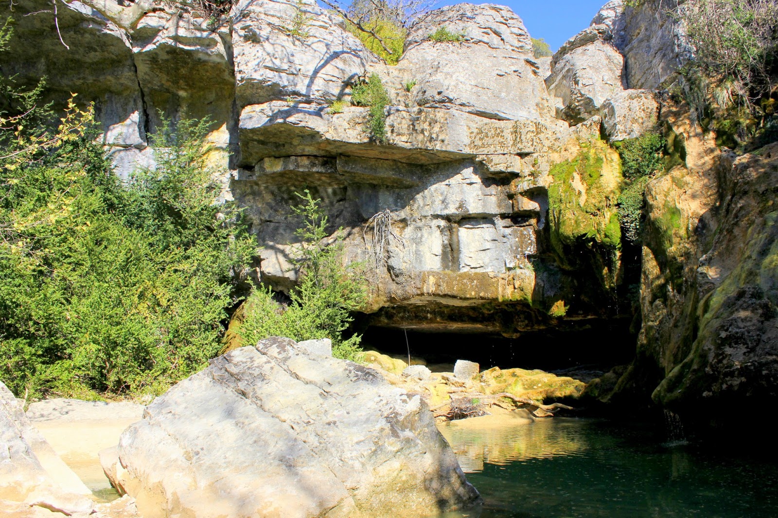
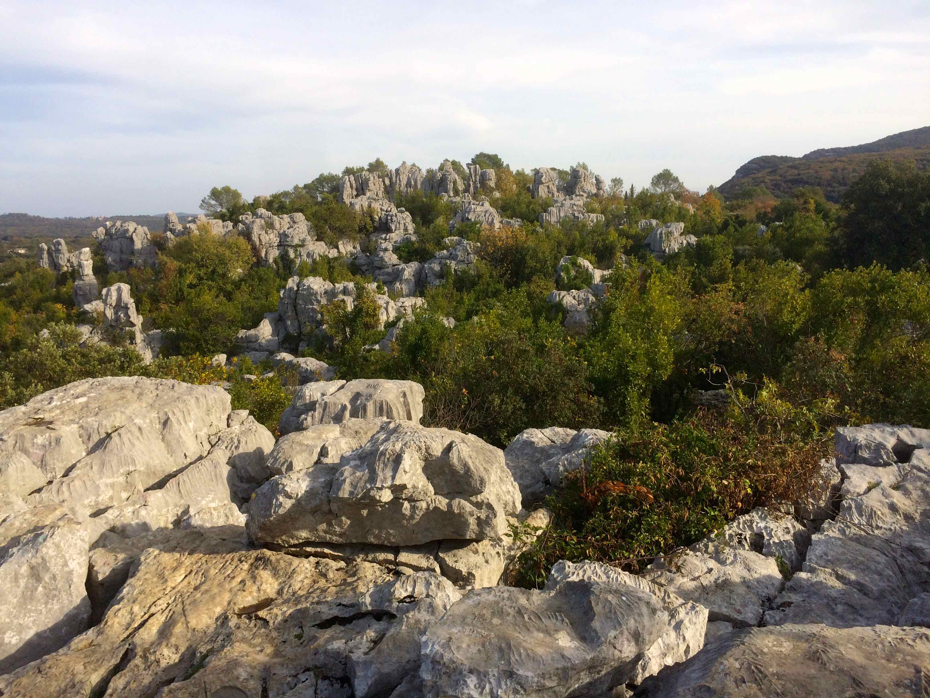
Beautiful loop starting from Sauve, on a path that is sometimes steep and rocky. The views of the surroundings are magnificent, especially from the summit of Leiris (471 m).

Already more than 200,000 users!
Uphill
396m
Highest point
462m
Downhill
396m
Lowest point
101m
Route type
Loop
Download the map on your smartphone to save battery and rest assured to always keep access to the route, even without signal.
Includes IGN France and Swisstopo.
I indicate whether dogs are allowed or prohibited on this trail
All year
2 ratings
Also enjoy:

Already more than 200,000 users!