Uphill
105m
Length
7km
Duration
2h
Elev gain
105m
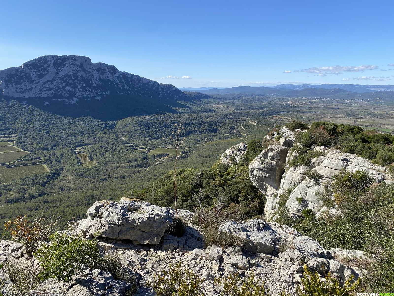
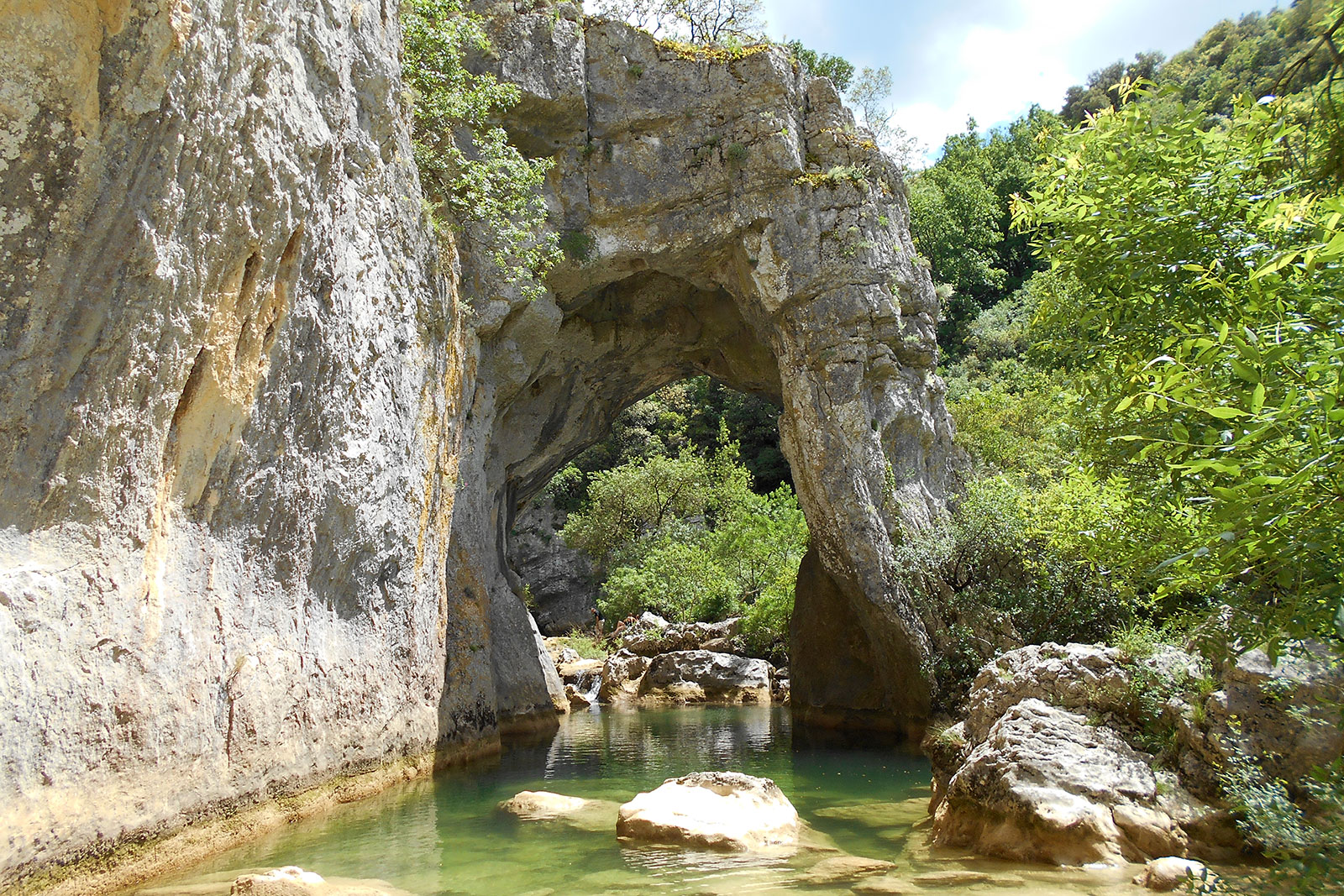
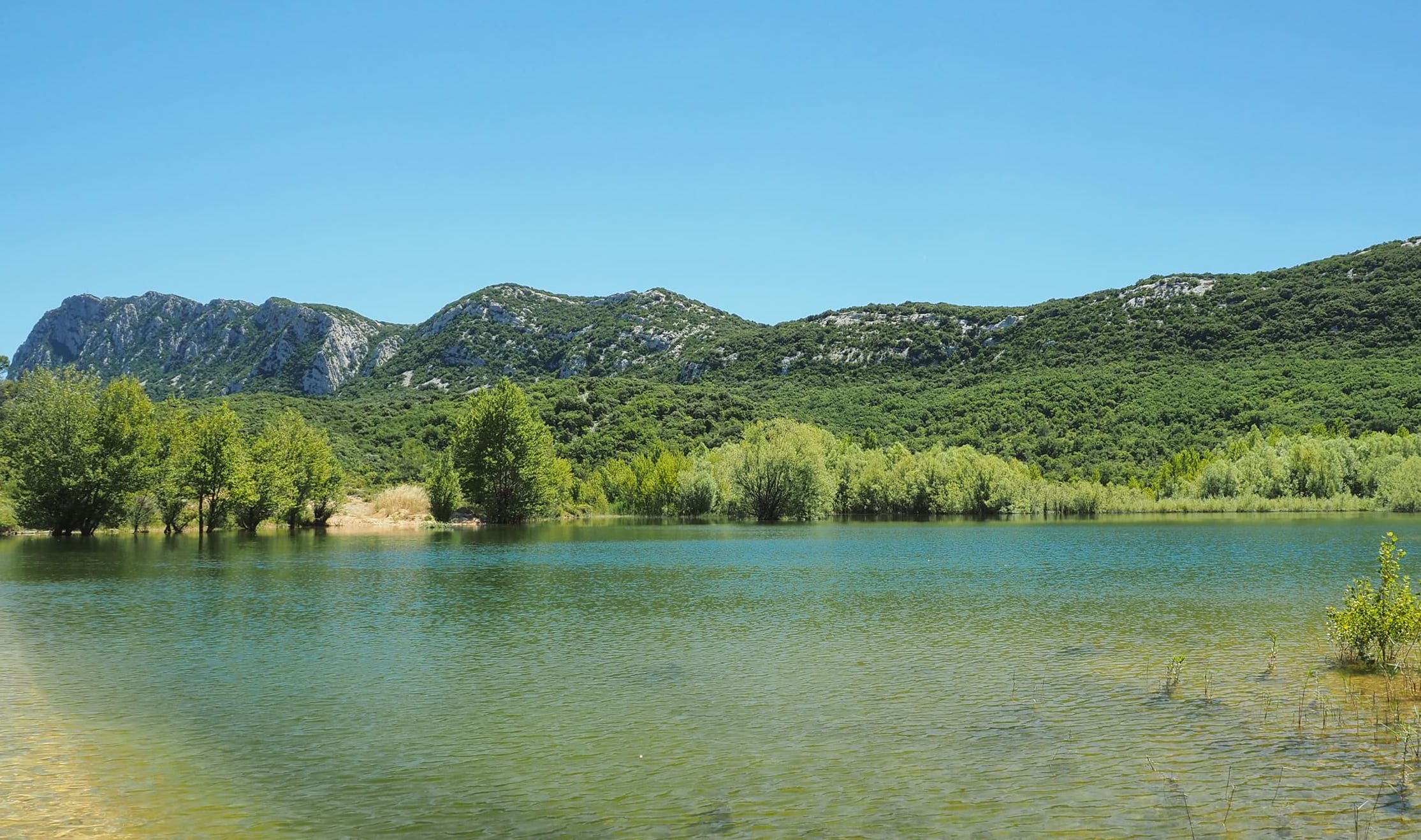
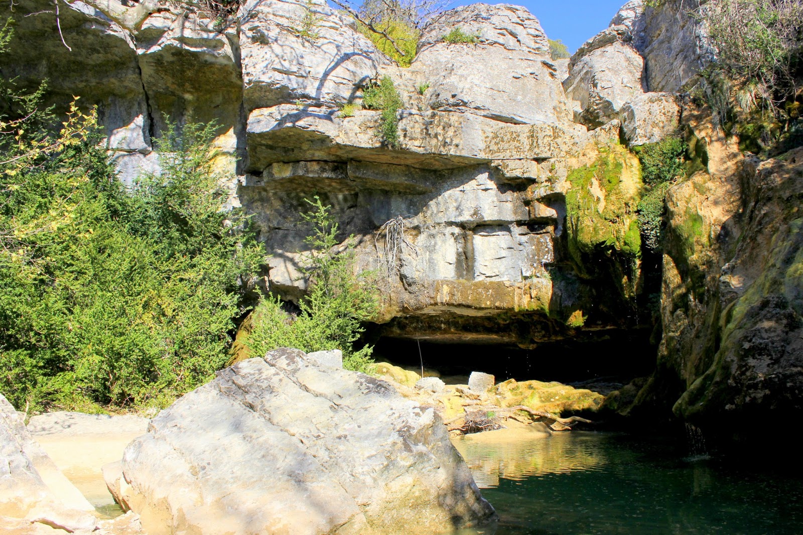
Departing from Ferrières-les-Verreries, hike in the scrubland along a stream, to the source of Gorniès. Outside of summer, you can even enjoy a small waterfall.
Note that the very end is on a road.

Already more than 200,000 users!
Uphill
105m
Highest point
321m
Downhill
105m
Lowest point
223m
Route type
Loop
Download the map on your smartphone to save battery and rest assured to always keep access to the route, even without signal.
Includes IGN France and Swisstopo.
Parking de la Verrerie, outside the village.
Parking within the village is for residents only.
I indicate whether dogs are allowed or prohibited on this trail
All year
2 ratings
Also enjoy:

Already more than 200,000 users!