Uphill
631m
Length
9km
Duration
4h30min
Elev gain
631m
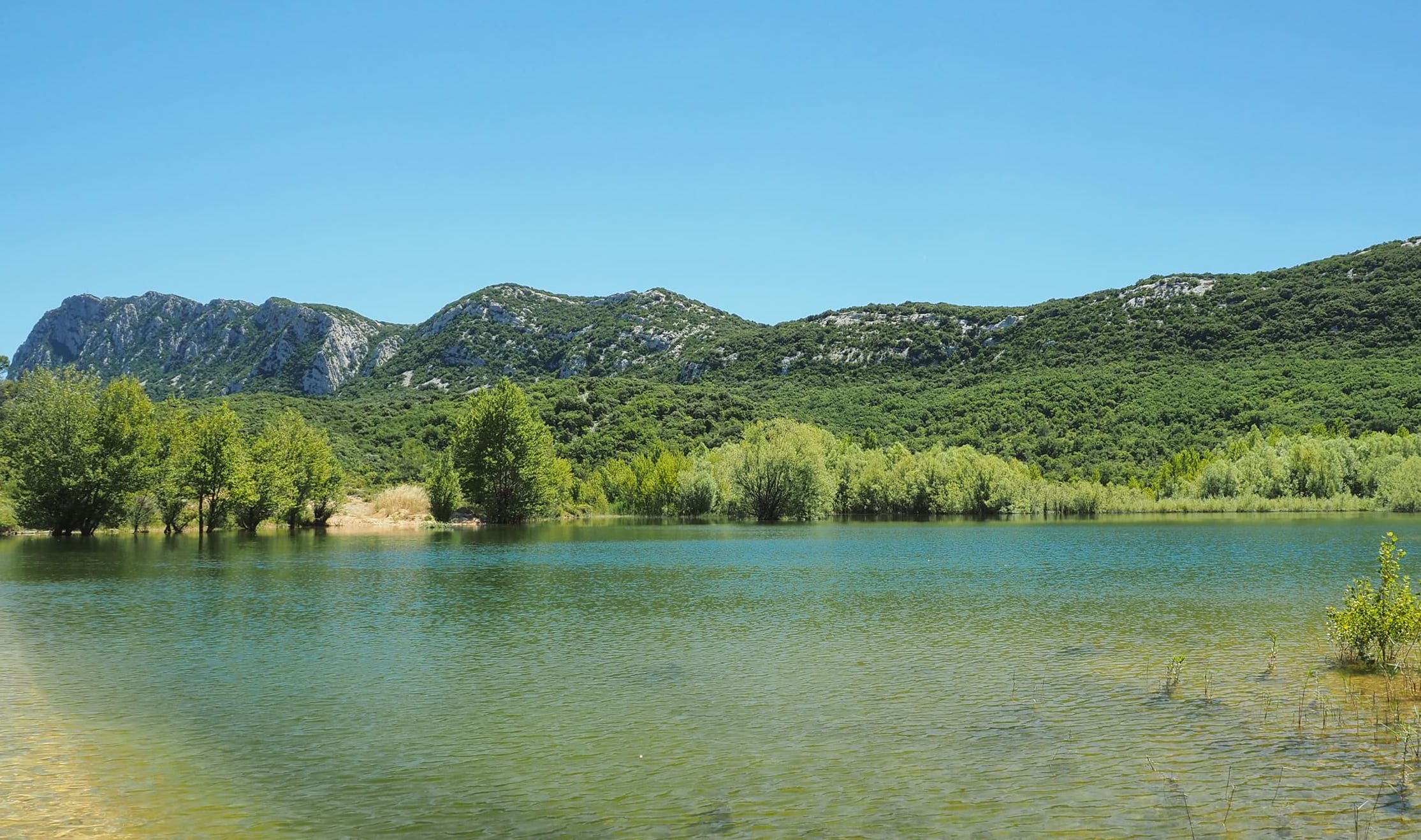
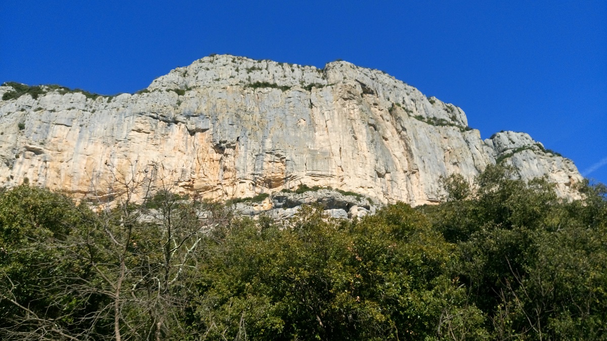
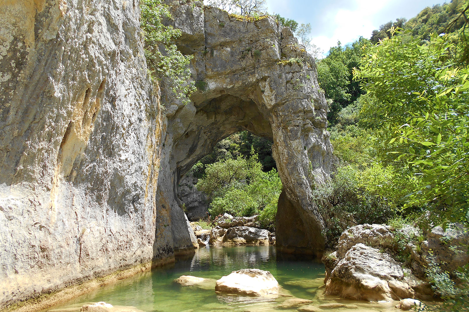
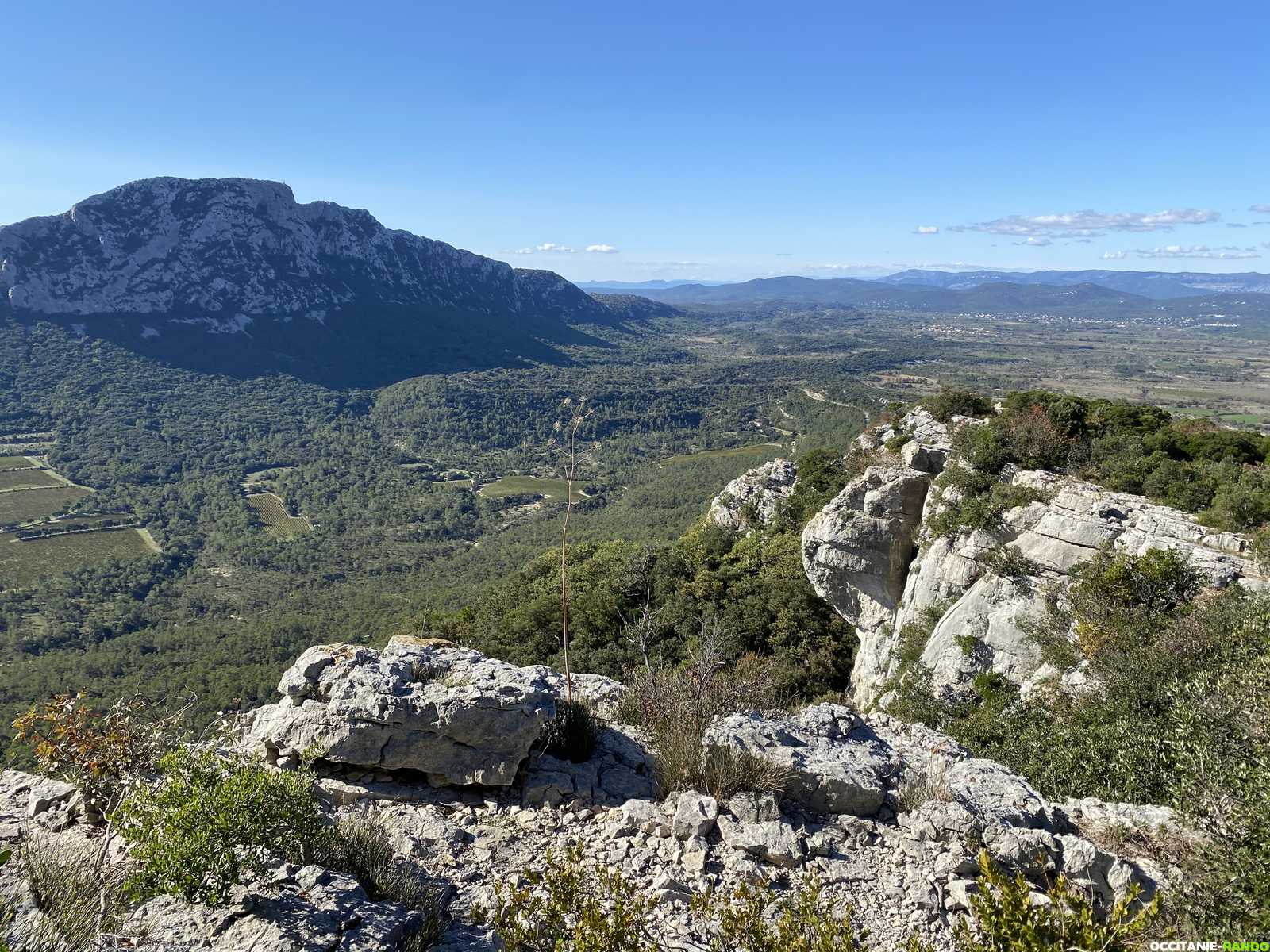
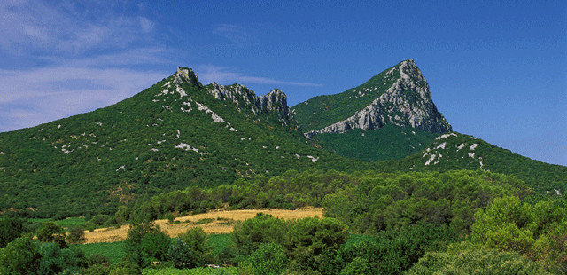
Loop hike around the atypical silhouette of the Pic Saint-Loup, which is considered as the garden of Montpellier residents. The path also climbs to the summit (658 m) for a superb panorama.

Already more than 200,000 users!
Uphill
631m
Highest point
631m
Downhill
631m
Lowest point
234m
Route type
Loop
Download the map on your smartphone to save battery and rest assured to always keep access to the route, even without signal.
Includes IGN France and Swisstopo.
I indicate whether dogs are allowed or prohibited on this trail
All year
4 ratings
deuxième partie après la descente du pic non balisée et sentier pas entretenu.
Also enjoy:

Already more than 200,000 users!