Uphill
189m
Length
4km
Duration
1h30min
Elev gain
189m
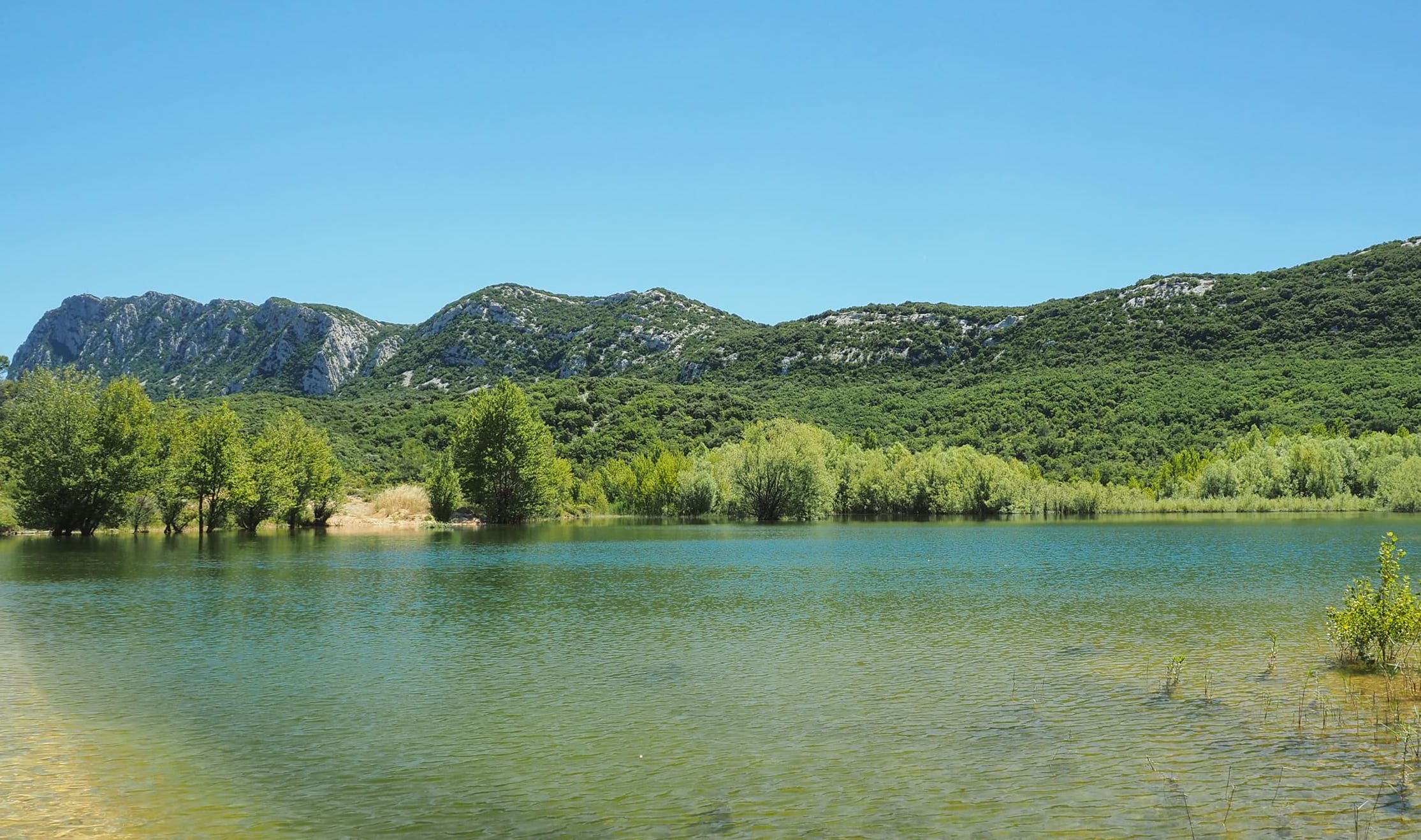
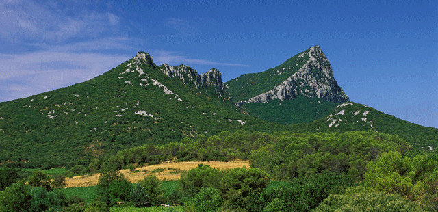
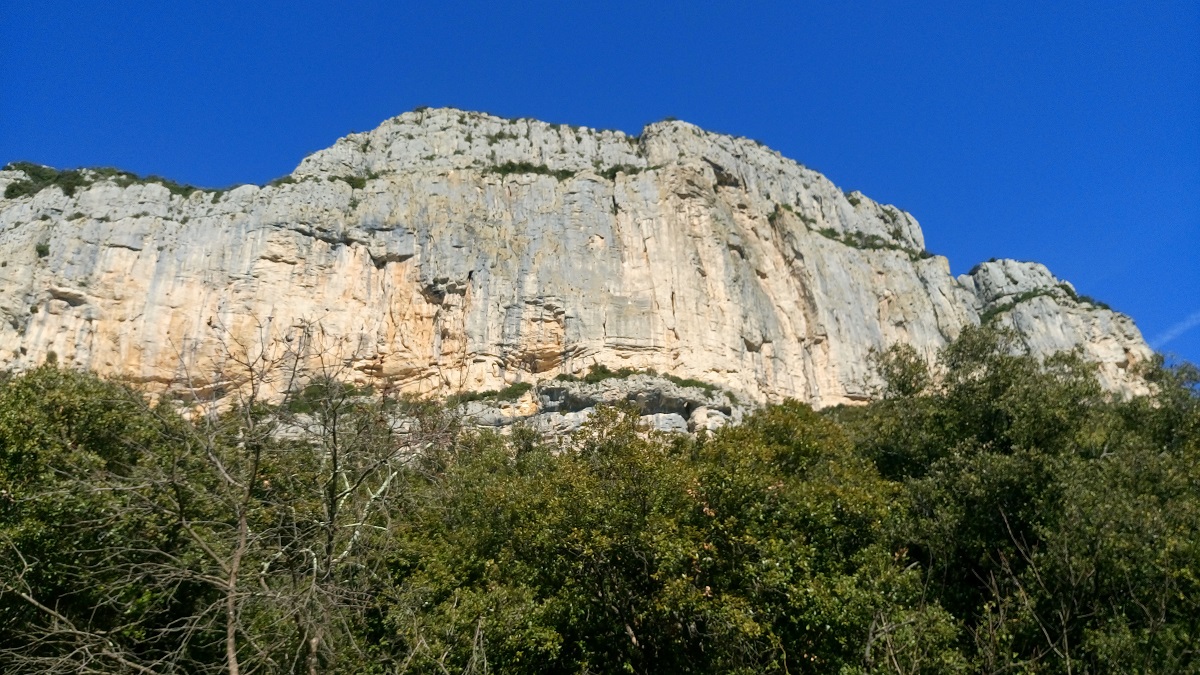
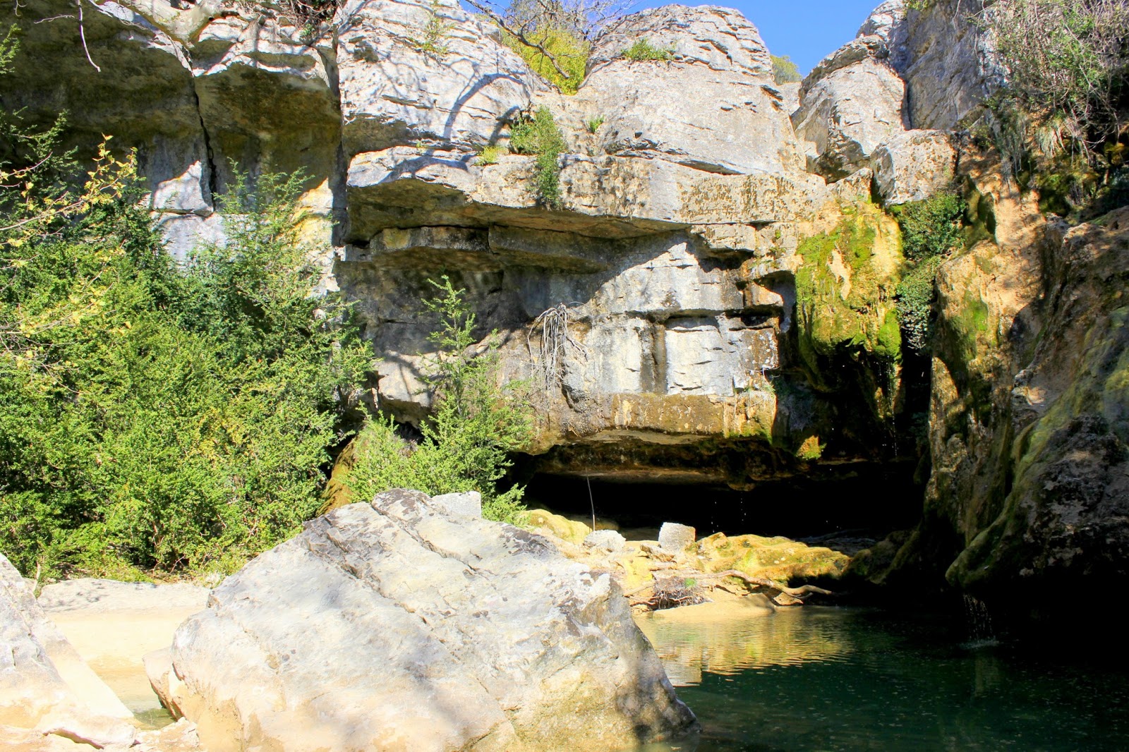
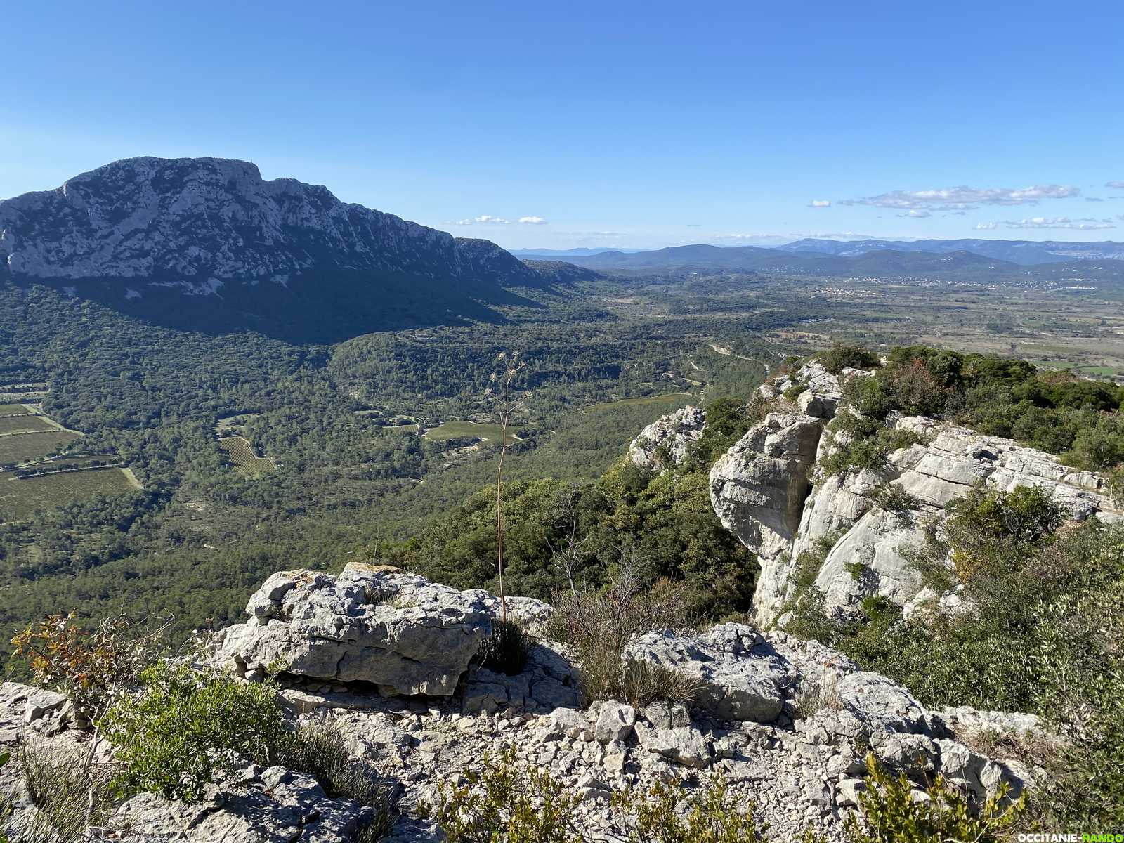
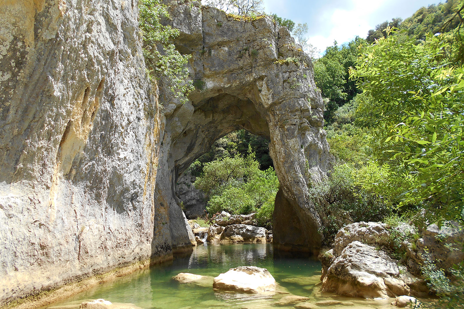
Here is a popular hike near Saint-Martin-de-Londres. The Arcs ravine, a narrow 10 kilometer canyon, is embellished with several natural arches dug by the Lamalou River. Wonderful.
Avoid, however, in rainy weather, as the path can be slippery.

Already more than 200,000 users!
Uphill
189m
Highest point
244m
Downhill
189m
Lowest point
145m
Route type
Loop
Download the map on your smartphone to save battery and rest assured to always keep access to the route, even without signal.
Includes IGN France and Swisstopo.
I indicate whether dogs are allowed or prohibited on this trail
All year
2 ratings
Also enjoy:

Already more than 200,000 users!