Uphill
149m
Length
3km
Duration
1h
Elev gain
149m
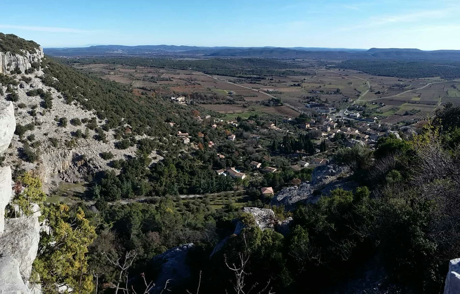
Departing from Corconne, this trail runs through the Coutach forest to the Hasard Bridge, a natural arch carved into the rock. The chapel of Corconne is also on the way.

Already more than 200,000 users!
Uphill
149m
Highest point
284m
Downhill
149m
Lowest point
145m
Route type
Loop
Download the map on your smartphone to save battery and rest assured to always keep access to the route, even without signal.
Includes IGN France and Swisstopo.
I indicate whether dogs are allowed or prohibited on this trail
All year
0 ratings
Also enjoy:

Already more than 200,000 users!


