Uphill
53m
Length
5km
Duration
1h30min
Elev gain
53m
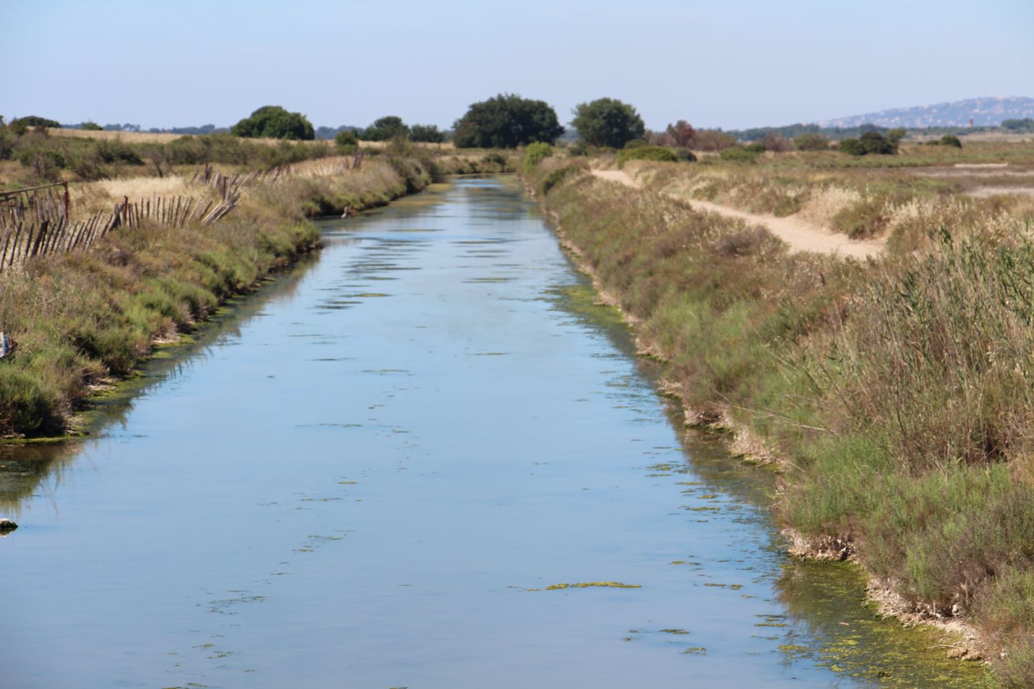
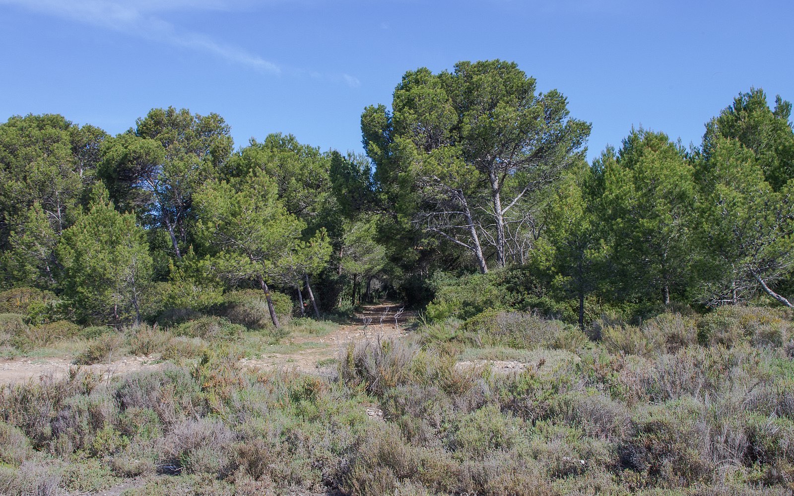
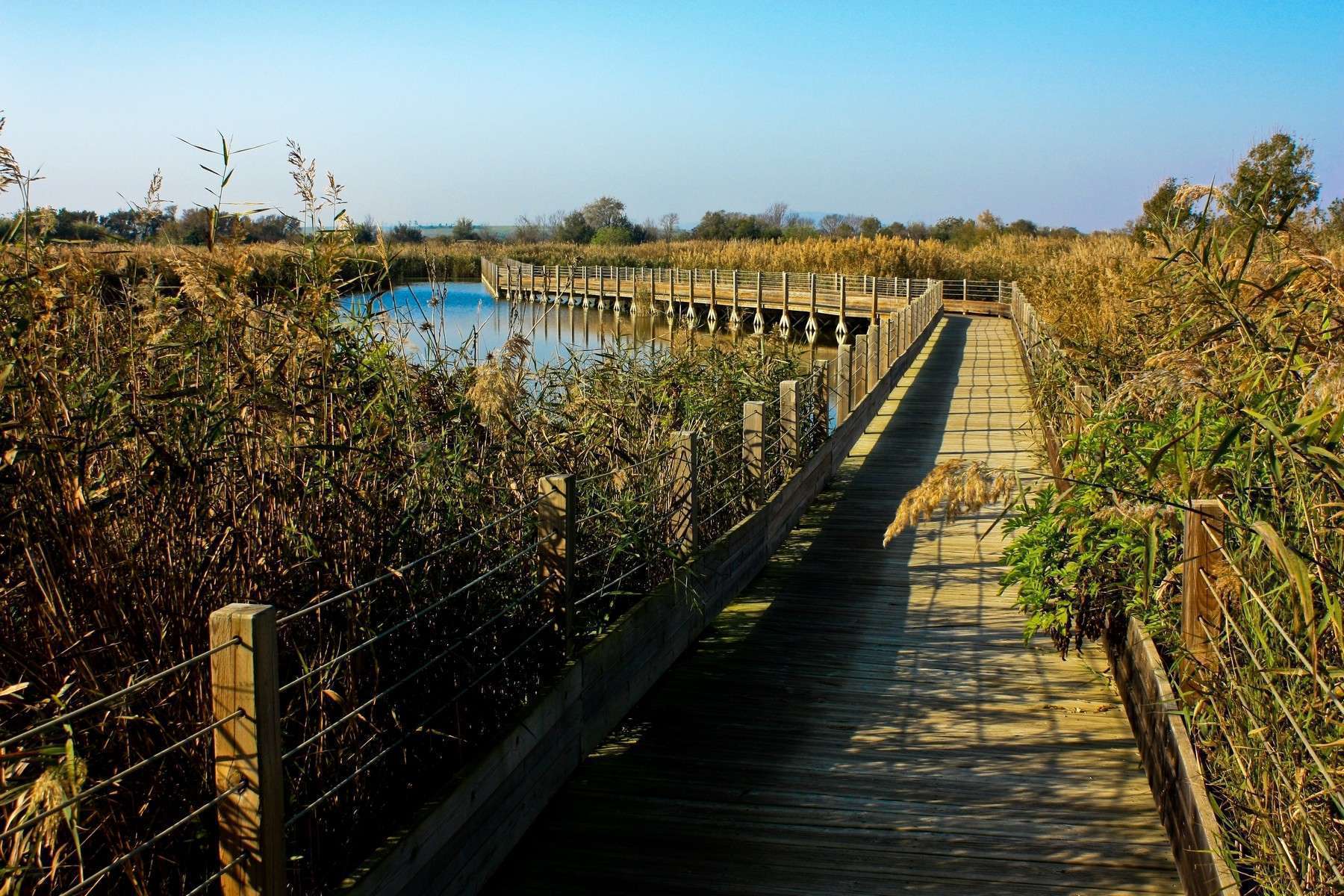
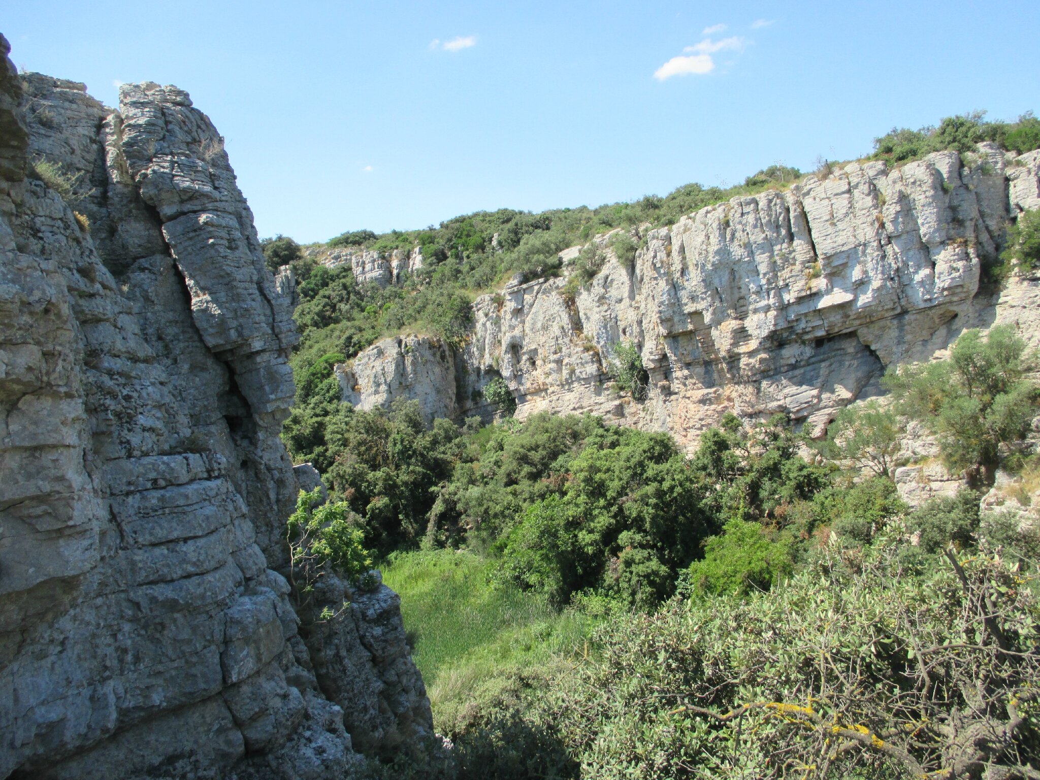
Short round trip hike in a surprising landscape: a cirque made up of cliffs 20 to 30 meters high, with a pond at its heart.

Already more than 200,000 users!
Uphill
53m
Highest point
42m
Downhill
53m
Lowest point
5m
Route type
There and back
Download the map on your smartphone to save battery and rest assured to always keep access to the route, even without signal.
Includes IGN France and Swisstopo.
I indicate whether dogs are allowed or prohibited on this trail
All year
5 ratings
Also enjoy:

Already more than 200,000 users!